High Coast Trails and Viewpoints

Getsvedjeberget & Predikstolen: the Höga Kusten Leden's new “over-the-top” segment

A beautiful upgrade to Höga Kustenleden — and what changes when you hike loaded near Skuleberget / Skuleskogen

Hiking Höga Kustenleden loaded? A smart stopover near Skuleberget

A practical note for hikers carrying 10–15 kg: traction, daylight, and wet rock matter more than distance. Plus practical tips + a calm Docksta base to hike lighter.
See the Naturkartan map: https://www.naturkartan.se/sv/hogakustenleden

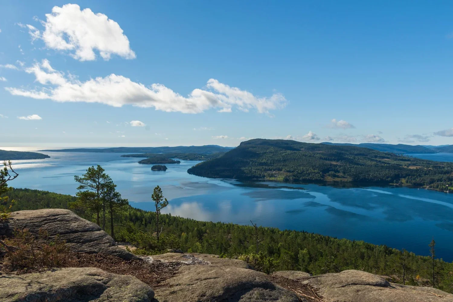
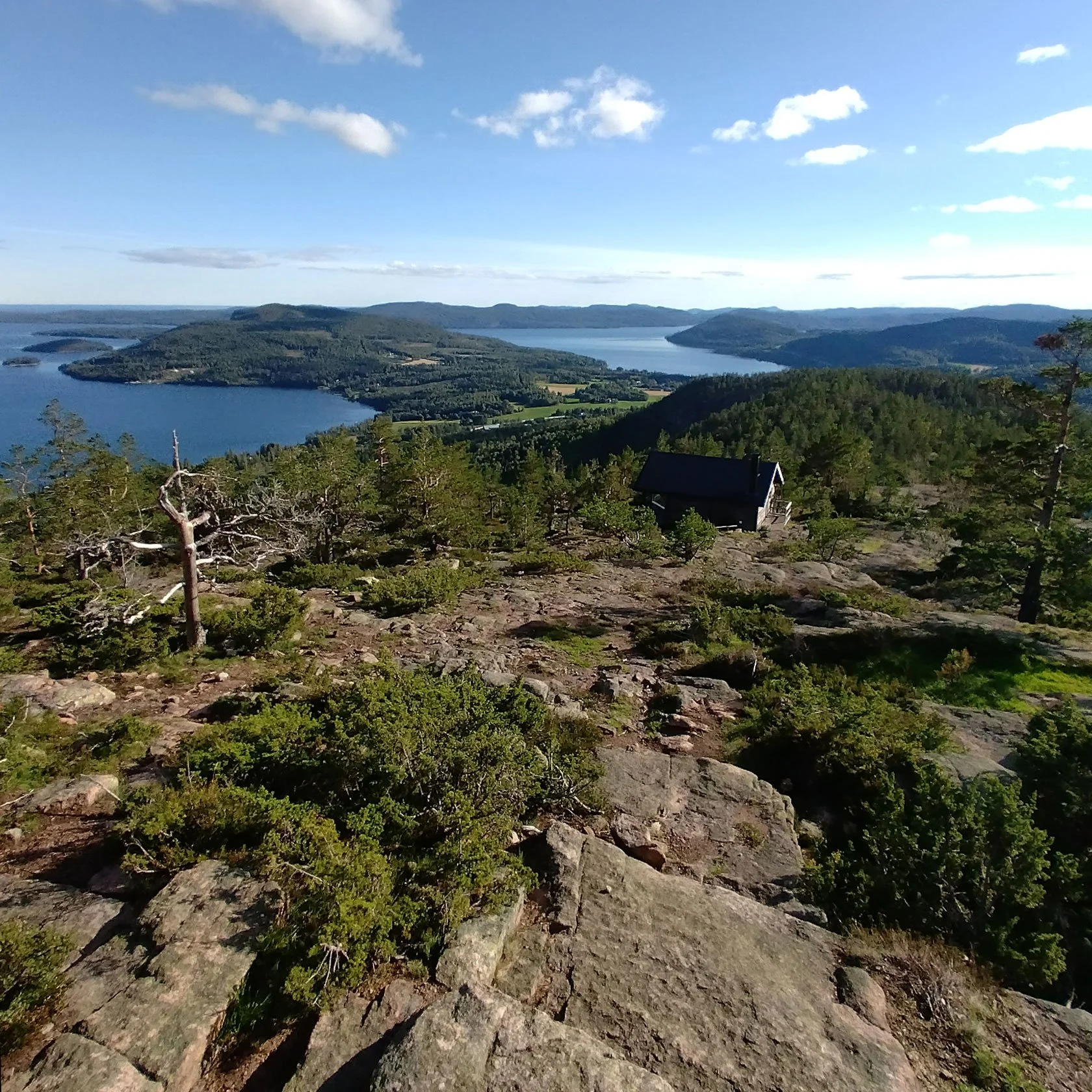
Since 2025, the Getsvedjeberget “up-and-down” segment — including the Predikstolen viewpoint — is officially part of the Höga Kustenleden. This year it’s no longer “new”: it’s consolidated.

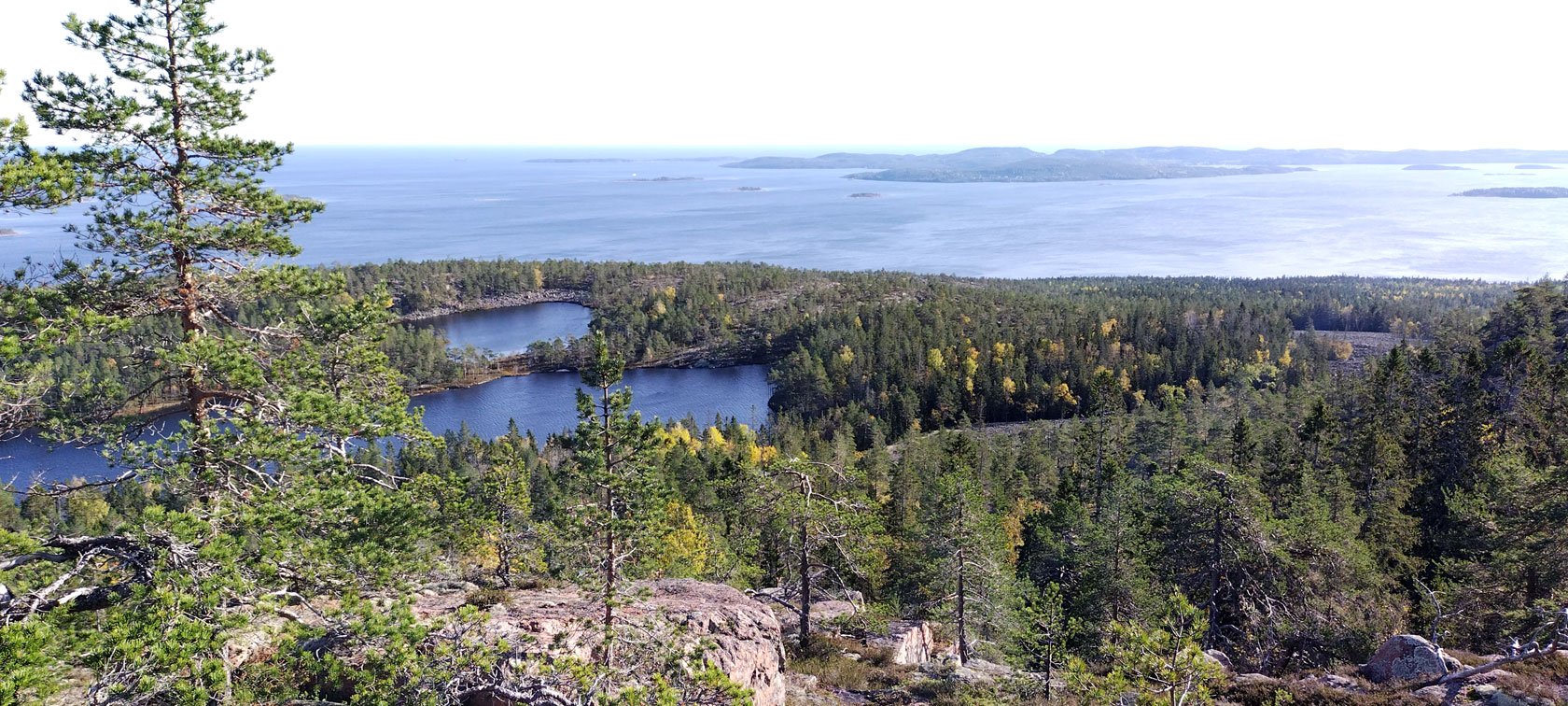
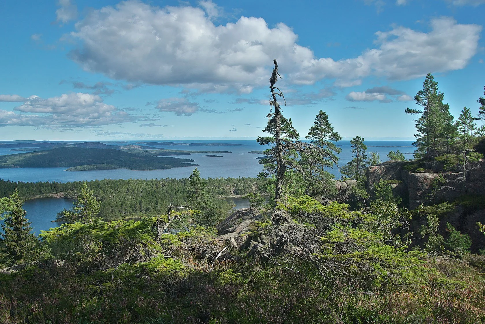
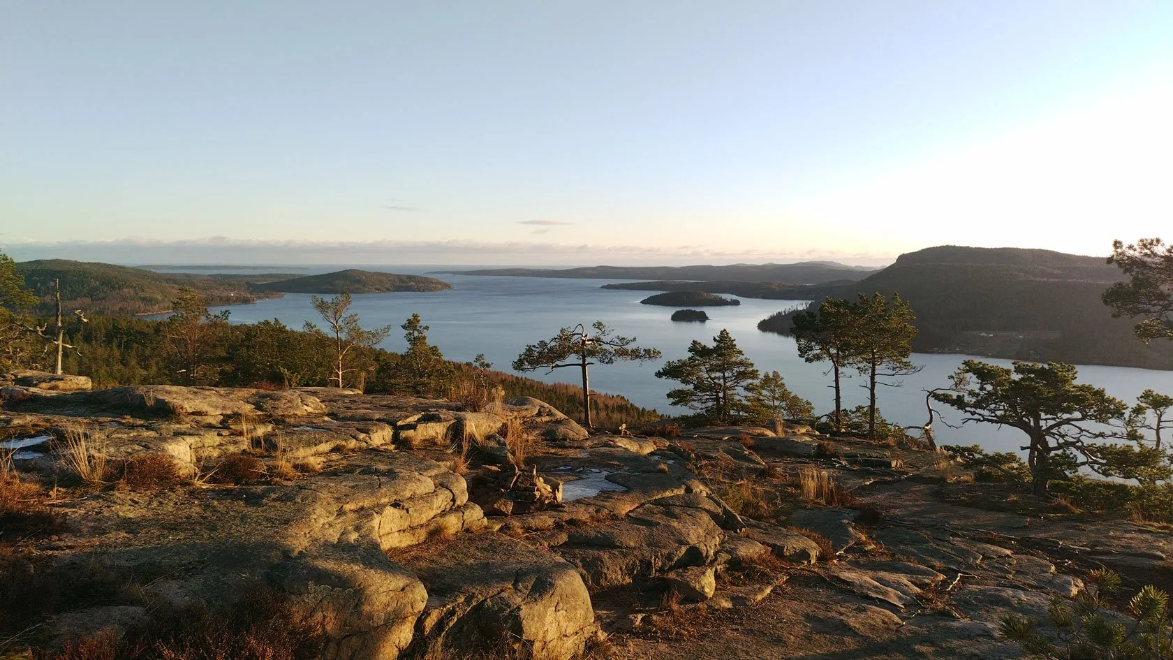
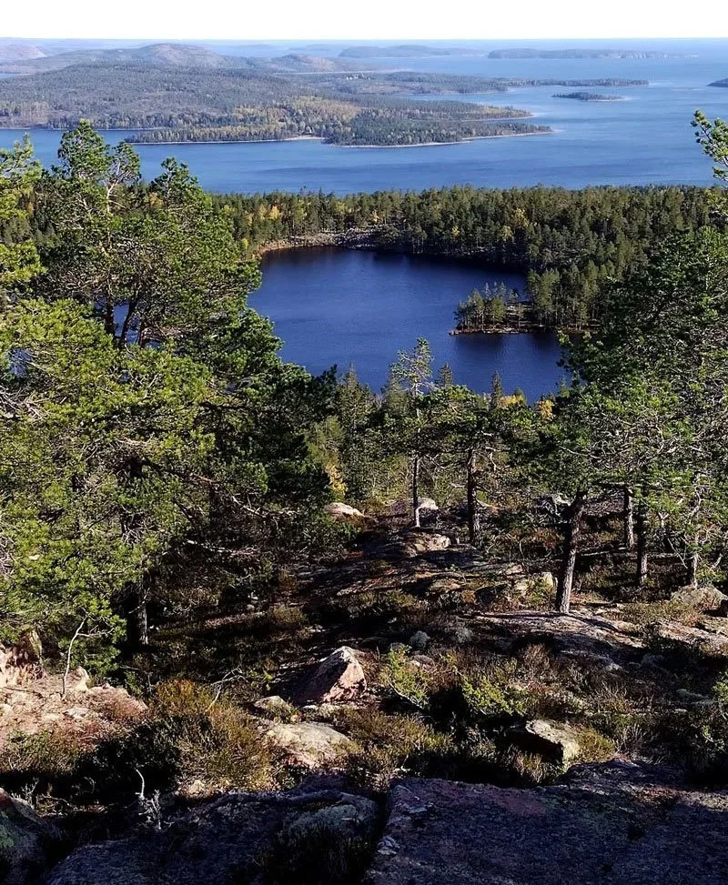
And honestly, it’s a beautiful upgrade. The line is scenic, the fjord views are wide and dramatic, and the forest path on the northern face of the mountain is breathtaking.

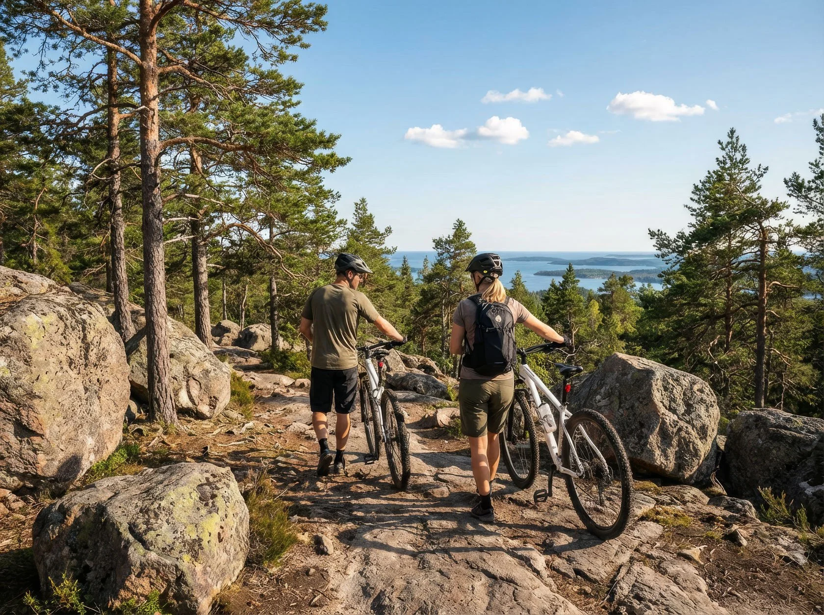
For day hikers with a light pack—and for trail runners (it’s a popular Strava segment and part of the Höga Kusten Trail race routes)—this variation often feels like a premium version of the older classic connection between Entré Syd and the east side of Skuleberget.

But if you’re hiking with a loaded trekking backpack (often 10–15 kg), one short section can feel very different than it looks on the map.

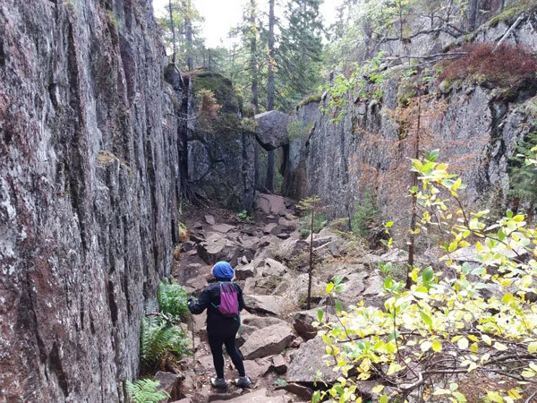
There’s just one practical detail worth saying out loud, especially if you’re walking to or from Skuleskogen National Park with a trekking backpack (often 10–15 kg). The short section between the Getsvedjeberget summit and Sveasand (the camping area) is steep and technical, and with a loaded pack it can feel surprisingly demanding—particularly if you mentally label it as a “transfer stretch” rather than a short, real mountain segment.


Conditions that change the experience (wet rock + darkness)

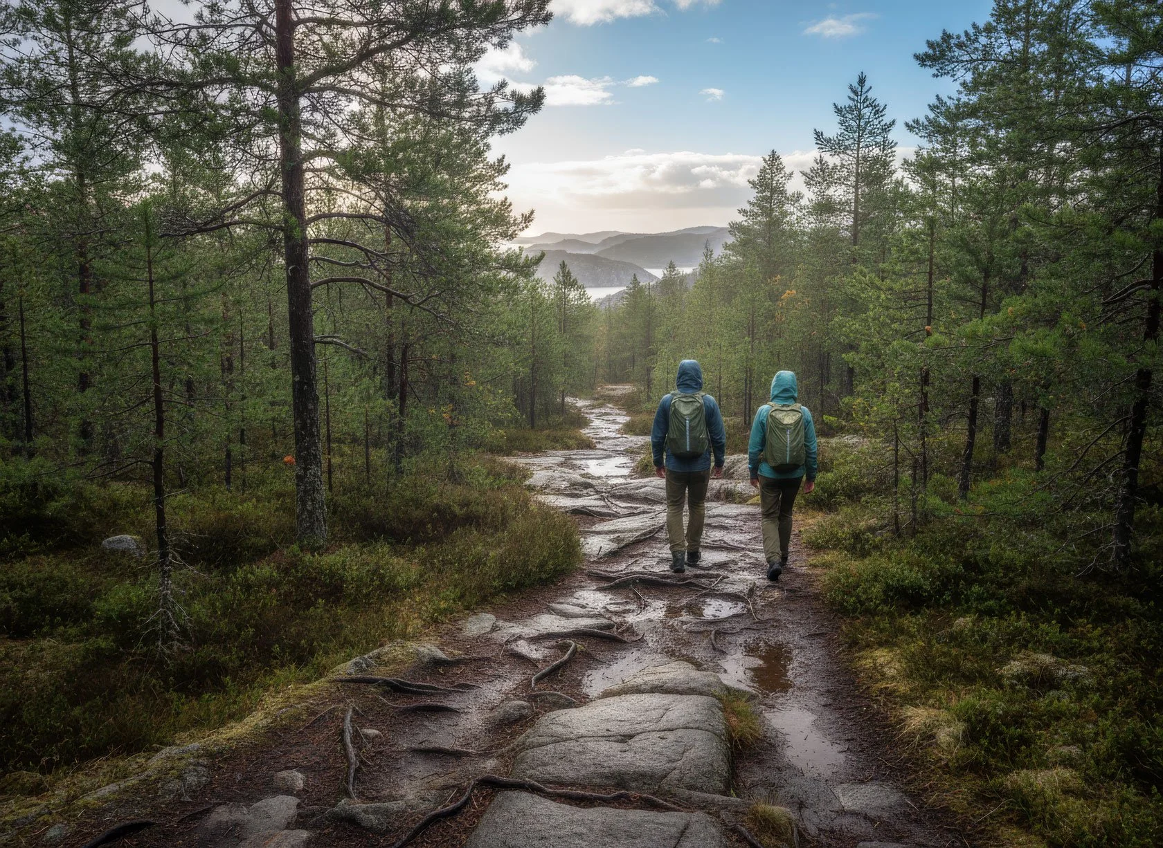
Nothing dramatic—just something to plan for. In wet weather the rocks and stones can be slippery, and in early/late season the combination of darkness + fatigue + a heavy pack changes the experience.

The key planning point: not more km, more time

On a dry day with a light pack it can feel quick; with a loaded pack (and wet rock), the same stretch often becomes a slow, careful 20–40 minutes of footwork.

And here’s the point worth keeping in mind: on the map, this variation doesn’t add much distance. In real life, it often adds time — steep rock, careful footwork, and more micro-stops when you’re carrying 10–15 kg. Same map distance, different pace. If you account for it, it becomes pure quality.


A quick decision rule (so you choose well today)

  • Choose the Getsvedjeberget / Predikstolen line if you have daylight, decent traction, and you’re happy with a short technical section for big views.

  • Be cautious with a loaded pack (10–15 kg) in wet weather or low light: it’s not dangerous, but it’s slower and more demanding than it looks on the map.

  • If you’re tired, it’s late, or the rock is wet: plan a time buffer, not a distance buffer.

If you’re passing through Docksta, we can help you choose the best variation for today—based on weather, daylight, and how heavy your pack is.


Skuleberget summit climbs (also added in 2025)
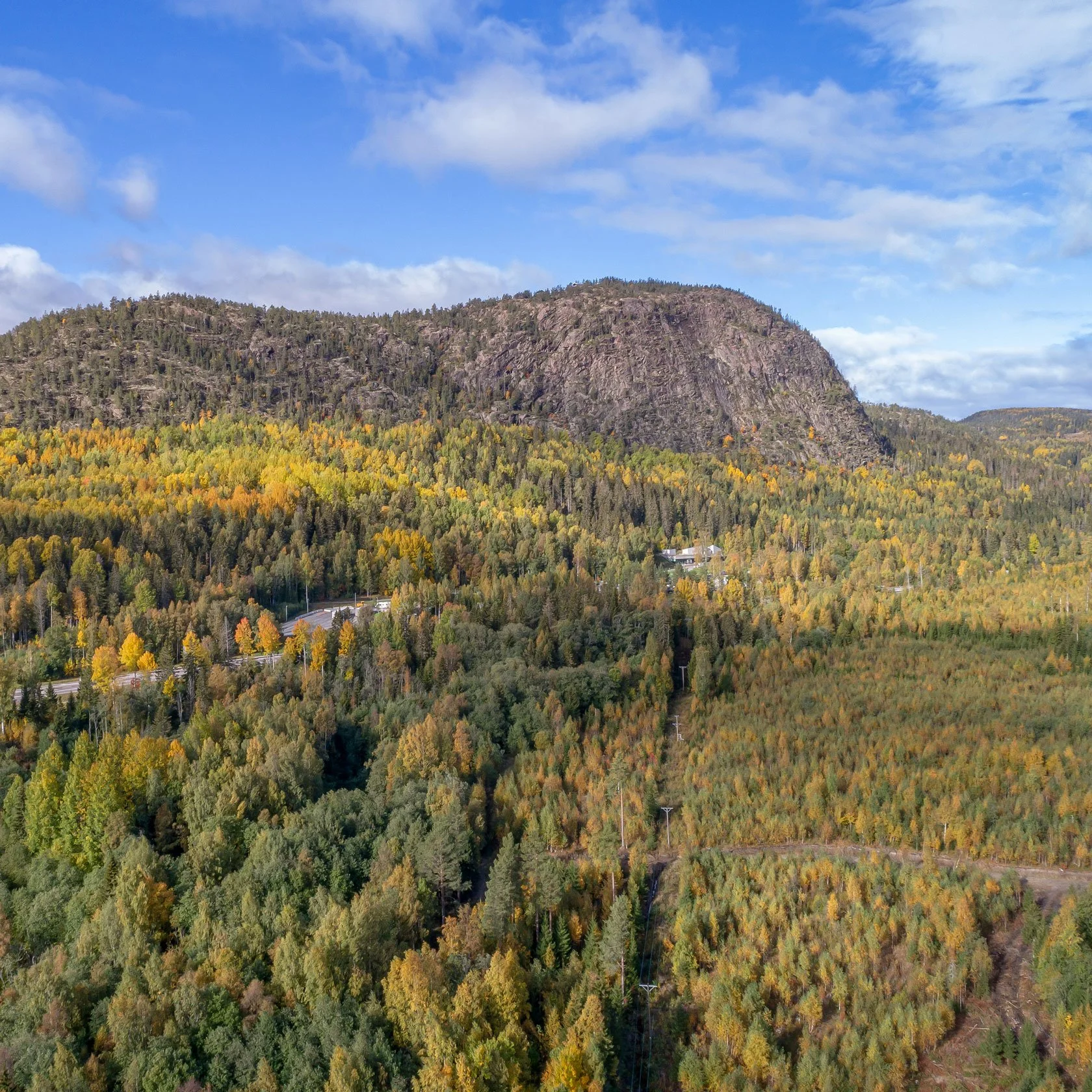
On top of that, the 2025 route also added the climbs up to the top of Skuleberget (before, the trail used to skirt the mountain).

If you’re here in summer, reaching the summit in the never-ending daylight should absolutely be high on your list. But it also adds meaningful elevation gain on technical terrain—and that can be a big surprise if you’re travelling loaded, especially after a long approach from the National Park, or if you’re starting in Docksta and moving north.

If you want to understand these two “new” climbs in a simple way, I’ve described them in my classic guide to the BIG5 Skuleberget trails—including Lynx and Fox, the two steep, rocky segments that are now part of the Höga Kustenleden. With a light pack they feel playful. With a loaded backpack, they’re still beautiful—just slower, and more demanding:

Paths of the Skuleberget (BIG5)

It’s a delicate point because it’s easy to underestimate when you read the map. Last summer, a number of hikers (and bikepackers too) discovered it the hard way. After talking with many of them here at the base camp, the pattern was always the same: the route is stunning—but it’s not “easy mileage” when you’re carrying your life on your back.

(If you like checking an official description of the Predikstolen / Getsvedjeberget climb, the Höga Kusten tourism site has a good short overview too.)
 

Hiker stopover in Docksta (sleep well, hike lighter)
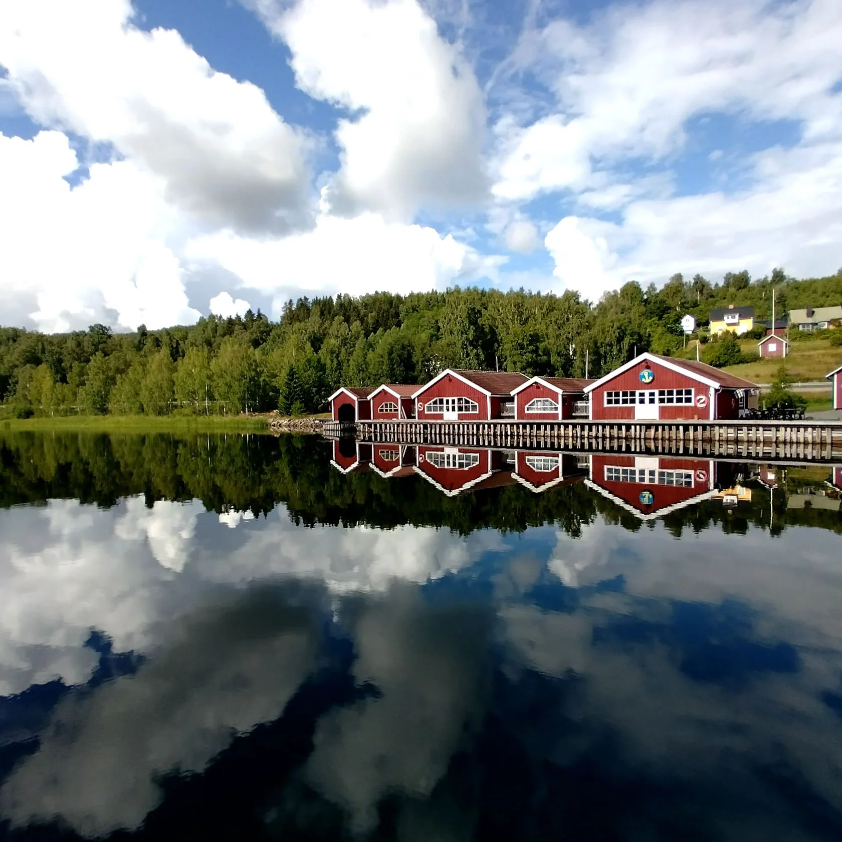
If you’re walking Höga Kustenleden with a loaded backpack (often 10–15 kg), Docksta can be a perfect 2-night reset near Skuleberget / Skuleskogen.

Not a “detour”. A smart pause: a real bed, a warm shower, and a calm base by the water — so you can enjoy the steep, rocky segments with a lighter setup.

Why it helps (especially in wet weather):

  • You can leave the heavy pack and go out with a light daypack for Skuleberget / Getsvedjeberget

  • You get a comfort buffer if the weather turns (wet rock + fatigue is the real combo)

  • You turn a “transfer stretch” into a quality day (views + footwork, not stress)
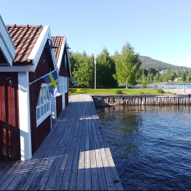
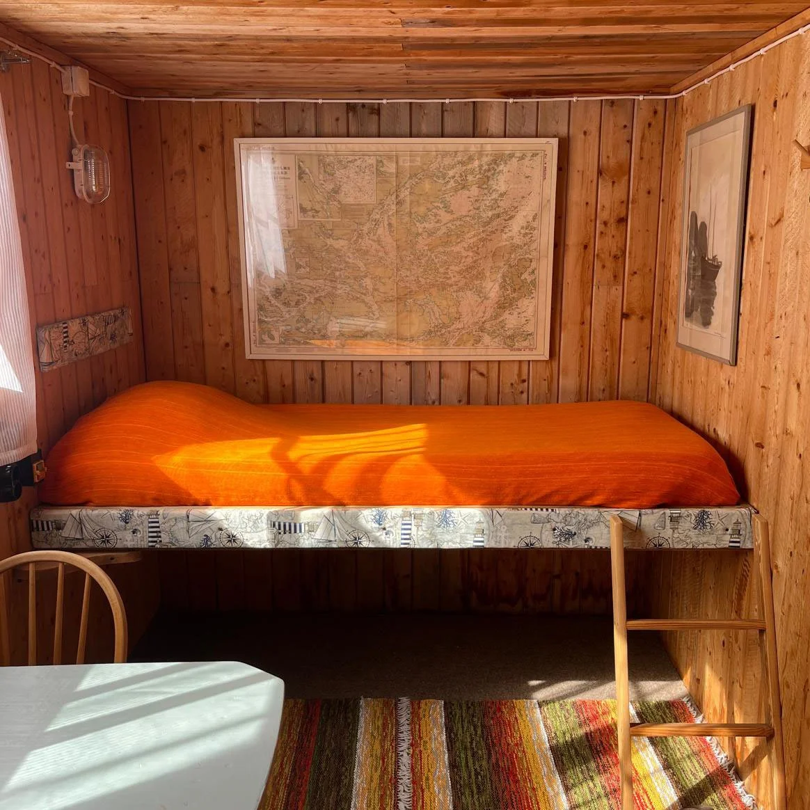
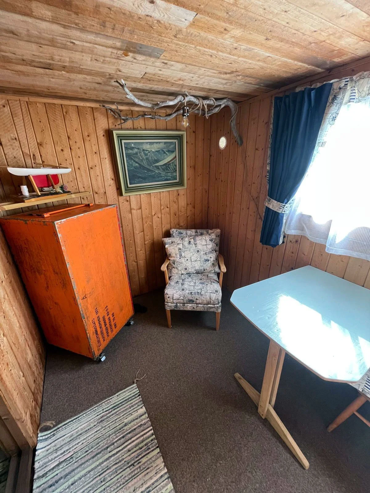
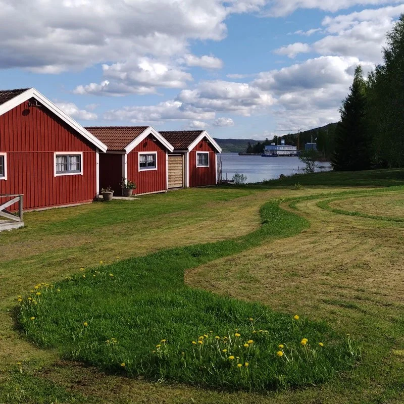
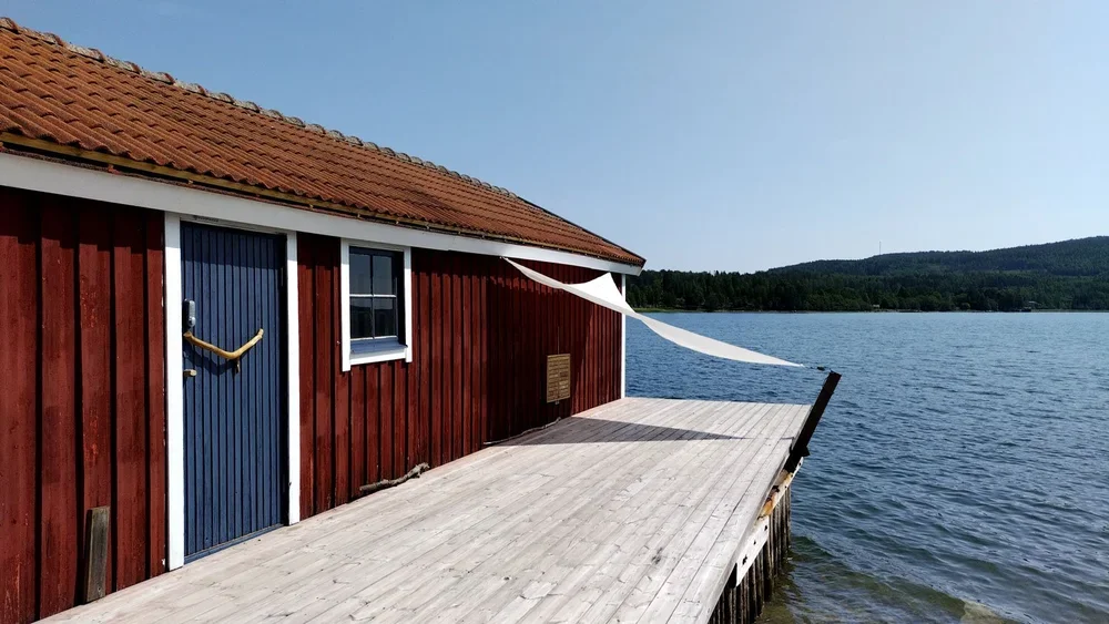
simple stay options for hikers


If you stop in Docksta: 4 low-friction day ideas (with a lighter pack)
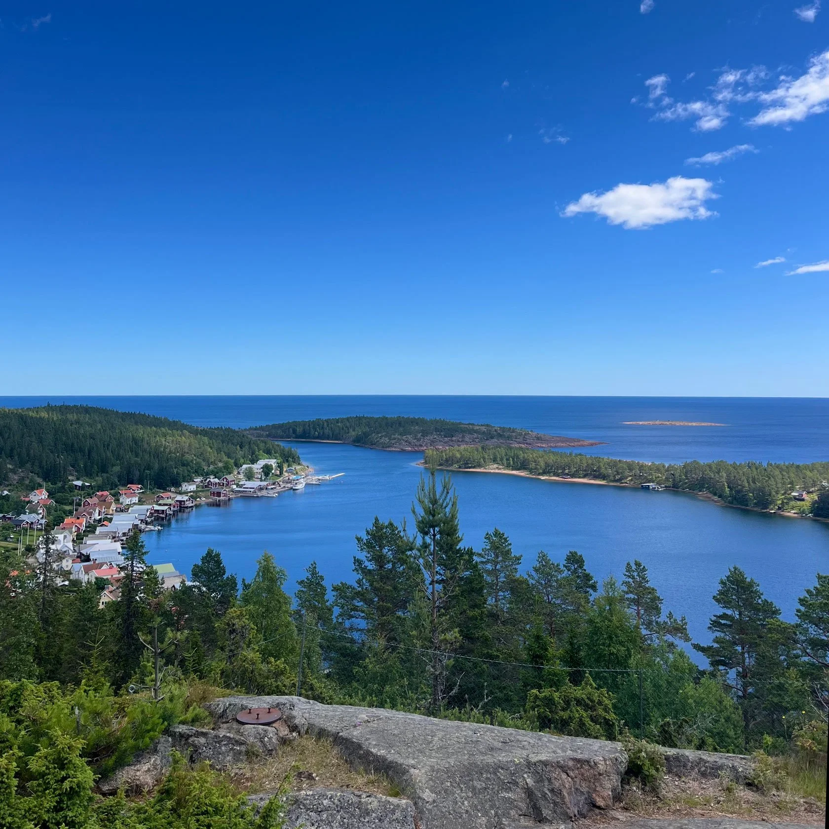
 

Want a quick “today decision” for your direction?

If you tell us your direction, today’s timing, and how heavy your pack is, we’ll suggest the best variation for today (weather + daylight + traction).
Quick question? WhatsApp at +46.763136909
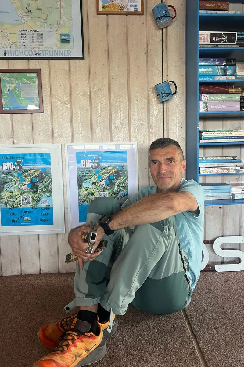
Tommaso De Rosa

See my host profile and message me on Airbnb

After hours on the trail, a good stopover isn’t “doing more” — it’s recovering well. If you’re walking the Höga Kustenleden and want a calm base near Docksta, I’ll help you shape a simple next step: Skuleberget, Skuleskogen, a swim, a quiet evening, and a realistic plan for tomorrow.

CONTACT ME by email or WhatsApp at +46.763136909 with your dates and your pace — I’ll keep it simple and real.
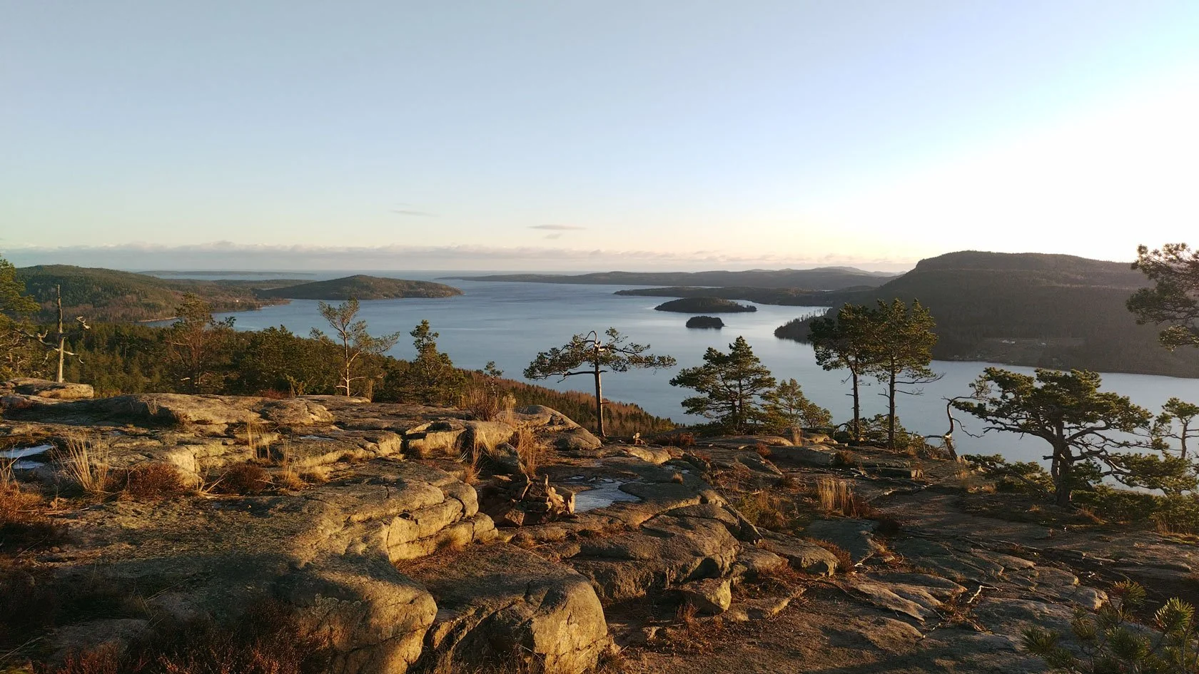
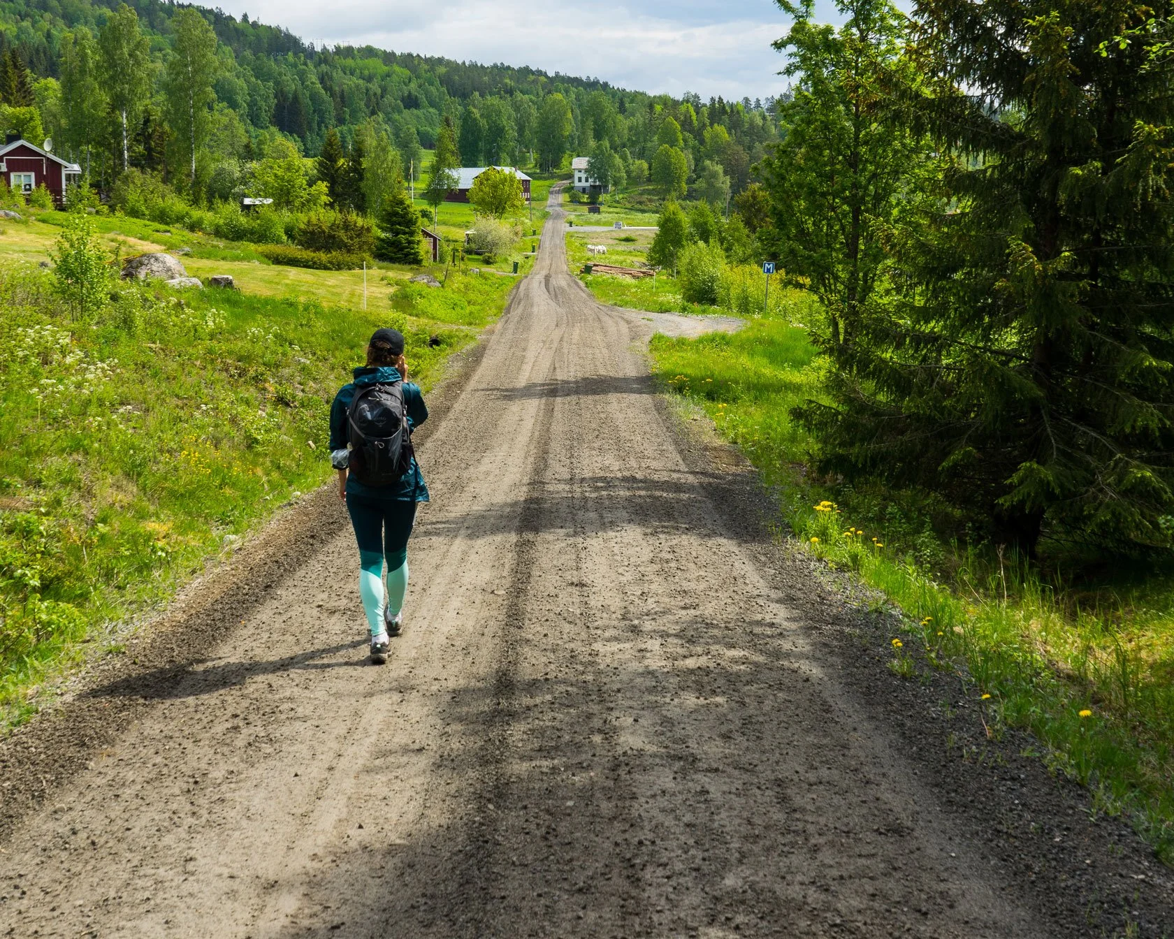
 

Höga Kustenleden, without hero mode

A quiet, practical way to enter the High Coast trail—one section at a time, with a base-camp rhythm

A host’s trail note on Höga Kustenleden: what it really feels like, how to hike it without “hero mode,” and three easy doors into the trail from Docksta.

Some trails are about distance. This one is more about attention.

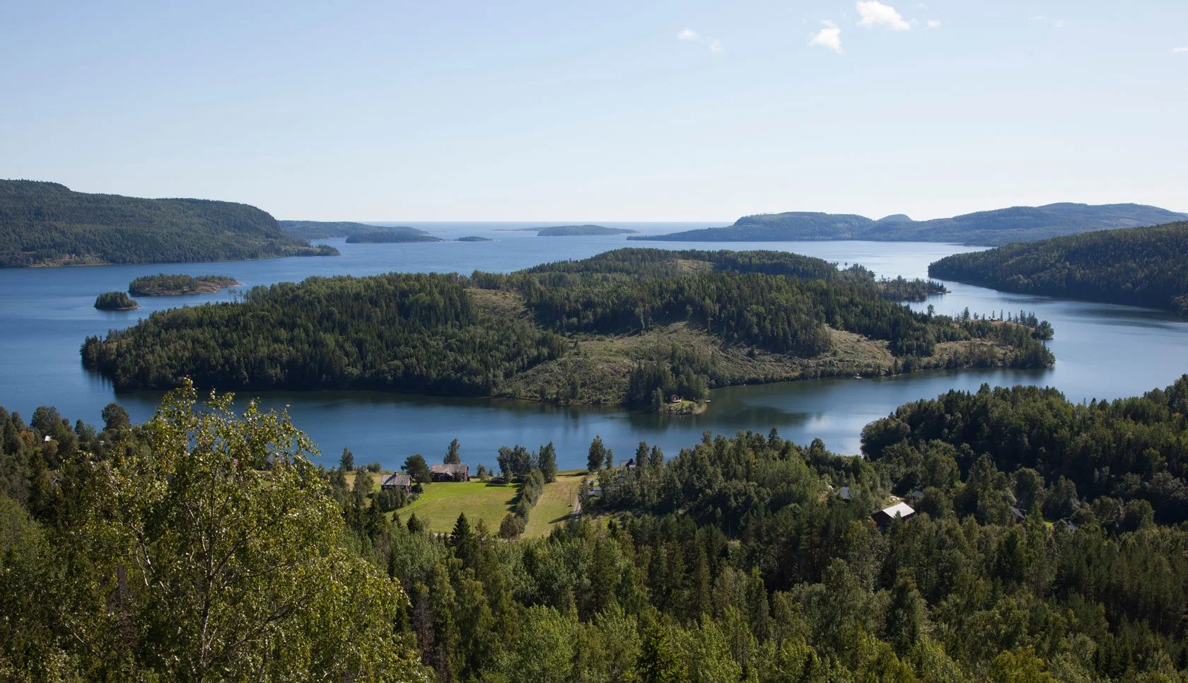
Höga Kustenleden runs through an UNESCO heritage landscape that keeps switching rooms: rocky pine forest, open cliffs, quiet coves, long views over the archipelago and its fjords and islands. You’re never far from water — and you’re never fully protected from wind. That’s part of the lesson.

I’m not writing this as a guru, or as a “proper” thru-hiker. I’m writing it as a host who watches hikers arrive, rest, dry their gear, and head back out again — and who has learned a few quiet things from this coastline.

Quick context (for first‑timers):

Höga Kustenleden is the long‑distance hiking trail through Sweden’s High Coast UNESCO World Heritage landscape. It runs south → north (from the Hornöberget area to Örnsköldsvik) and is usually hiked in sections. Because distances and stage numbering vary across sources, the safest reference is the official map.

Höga Kustenleden Map: https://www.naturkartan.se/sv/hogakustenleden

Tourism overview: https://www.hogakusten.com/en

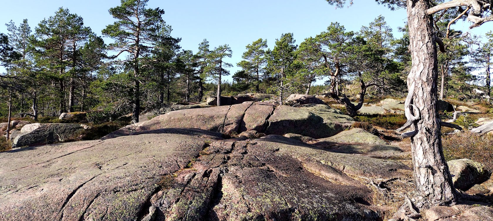
“Expect “more time than kilometers”: steep granite, roots, and short technical climbs”

If you’re planning from Docksta (without hero mode), this Base Camp map helps you choose day trips by time, energy, and weather:

https://dockstahavet.se/blog/hoga-kusten-map-day-trips-from-docksta


What Höga Kustenleden really feels like (in plain words)

The High Coast of Sweden is not gentle, but it’s not harsh either. It’s honest.

Rock makes you slow down.
Wind edits your plan.
The sea and lakes keep showing up in the background, like a reminder to breathe.

Some sections feel like a balcony over the water. Others feel like a corridor of trees and red granite stone. And then, suddenly, the view opens — and you realise you’ve been holding your breath for no reason.


A trail you can enter in small pieces (you don’t need to “do it all”)

Yes, Höga Kustenleden is a long trail — the kind many hikers walk with a backpack.

But you don’t have to “complete” it to belong to it.

You can enter it in small pieces:

  • one section

  • one viewpoint

  • one honest day

  • one night of real sleep

  • and then another day, if you want

This is the opposite of hero mode. It’s the base-camp way of hiking: go out, come back, rest, go out again.


The “forest guest” mindset (a different kind of strength)

Out here, the strongest move is often the simplest one: a lighter grip on the schedule.

A forest guest doesn’t try to conquer the day.
A forest guest pays attention.

You notice where the rock is warm.
You feel when the wind shifts.
You stop before you’re exhausted.
You leave space — not as “wasted time”, but as recovery.

That’s not philosophy. That’s how you keep hiking tomorrow.


A day on the trail that counts (even if it looks small)

Here’s a day that counts — even if it looks small.

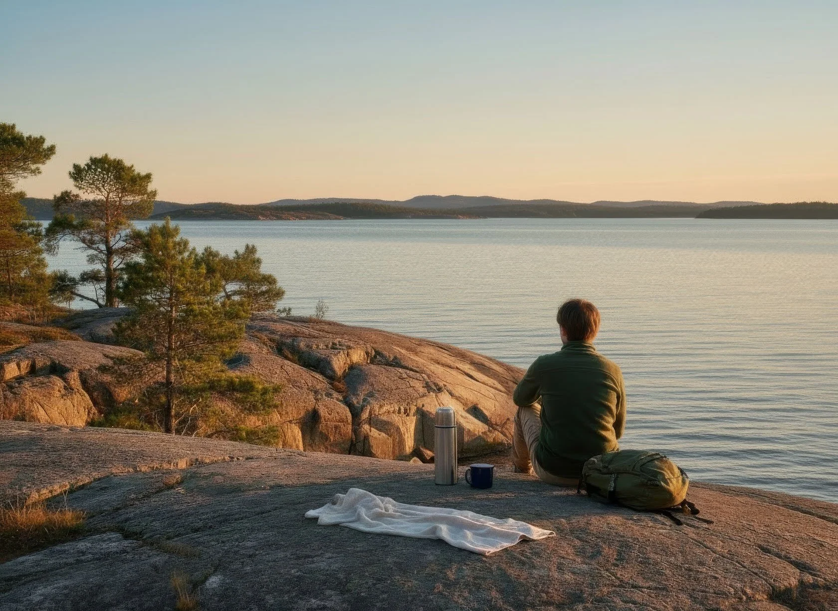
In the High Coast, hiking often starts with ordinary gestures: stepping outside before you’re fully “ready”, carrying a light layer because wind changes the story, bringing coffee in a thermos, and letting the landscape set the pace.

  • Morning (no heroics): a short hike while the air is still cool and the forest feels quiet.

  • Midday: lunch outside — simple food tastes better when you sit on a warm rock and watch the light move.

  • Afternoon: a swim if the weather is kind, or just a long pause by the fjord with your feet in the water.

  • Evening: a slow walk when the light goes soft and refuses to leave.

And somewhere in the middle, if you want a deeper reset without making it a “thing”: step under the pines for 20 minutes, breathe, and let your nervous system catch up with your body.

Seasonal note: in June/July the light can feel endless (beautiful, but it can also trick your sleep). From mid‑August, nights become more like nights again — deeper rest, more colourful sunsets, and in the High Coast the first auroras can start showing up on the right evenings.


Where a base camp becomes a partner (not a “service”)

Long trails are not only about moving. They’re also about landing.

A good base camp is not there to make the hike “easy”.
It’s there to make it sustainable.

A place where you can:

  • sleep deeply

  • dry your gear

  • take a real shower

  • eat something simple

  • and start again without friction

That’s what many hikers are actually looking for: not luxury, not hardship — just a calm, flexible landing spot between days.


Practical planning notes (three doors into Höga Kustenleden from Docksta)

If you want a practical way in — without turning the trail into a checklist — here are three nearby segments/spots I often point guests to. Think of them as three doors into Höga Kustenleden: each one gives you a real taste of the landscape, without requiring “hero mode”.

1) Per Olsbo wind shelter (the quiet trail culture stop)

This is one of those simple places that feels like a reward: a roof over your head, a guest book, the feeling of being inside the trail culture. It’s approachable, calm, and perfect for a half‑day with a proper pause.


2) Predikstolen (Getsvedjeberget) — short, steep, worth the attention

Predikstolen is one of the most photographed viewpoints in the High Coast — and yes, the panorama really is special. Just one honest note: the final segment is short but steep and a bit technical, both up and down. It’s doable for many people, but it rewards a steady pace, good grip, and a calm head (especially if it’s wet or windy).

Predikstolen Viewpoint (Getsvedjeberget) — what to expect
https://dockstahavet.se/outdoor-gear-rental-hoga-kusten/guides-stories/predikstolen-viewpoint-getsvedjeberget-what-to-expect


3) Skuleberget summit — the iconic climb, close enough to feel “local”

Skuleberget is the classic High Coast mountain day — and the best part is that it’s close. From Docksta, you can reach the foot of the mountain in under 2 km, and then choose a route that fits your legs and the weather. The summit gives you that “balcony over the fjords” feeling — and the descent on Höga Kusten Stigen is pure light and sea‑view rhythm.

Hike at the Skuleberget Mount along the Höga Kusten Stigen
https://dockstahavet.se/blog/explore-the-hoga-kusten/hike-at-the-skuleberget


Optional: the island extension (Ulvönleden)

If you want a different kind of trail day — one with ferry rhythm, sea air, and an island mood — Ulvönleden is a beautiful extension to keep in mind.

Ulvöleden Trail Guide
https://dockstahavet.se/blog/ulvoleden-trail-guide


Optional: a simple packing list (day hikes, High Coast reality)

If you want a practical checklist (layers, water, rock‑friendly shoes), I keep it here:

Basic tips to get ready for your day hike (or run) on High Coast paths:
https://dockstahavet.se/blog/explore-hoga-kusten/get-ready-your-day-hike


A quiet ending

You don’t need to be a “real hiker” to walk Höga Kustenleden.

You just need one day where you move with respect — for the landscape, for your body, and for the fact that wind and rock will always have the final word.

From here you’ve got two easy doors:

  • DIY door: pick one of the three segments above, pack light, go slow, come back and rest.

  • Grab&Go door: if you arrive without gear (or without the will to plan), start bike-first and let me set you up with a daypack + the essentials — hammock kit optional, depending on your mood.

Either way: no hero mode required. Just attention.

Light soul. Tiny rucksack. One section at a time.


Tommaso De Rosa

I host hikers and sailors at Docksta Havet, right where the High Coast trail culture passes through: people arrive, dry their gear, sleep deeply, and head out again. Over the years—also as a trail runner—I’ve learned the High Coast the slow way: one section at a time, in all kinds of wind, rock, and light. That’s why I write these notes the way I do: practical, calm, and meant for real days (not hero stories).

If you’re staying in our waterfront marina lodgings (Airbnb) and you want a simple recommendation—which section fits your time, your legs, and the kind of day you’re after—message me via Airbnb chat (from my host profile). I’ll point you to one good “door” into the trail, and a base-camp rhythm that makes it sustainable.

_Tommaso

If you prefer, you can also reach me on WhatsApp: +46 76 313 6909.

P.S. If you’re not sure where to start, scroll back to the three doors into Höga Kustenleden from Docksta—choose one, and let that be enough for today.


Below you’ll find our Hiking posts:

destinations, trail guides, and local advice

Skuleskogen Nationalpark (Hochküste): Eingänge, die ikonische Runde und ein Tagesplan, der einfach funktioniert

Skuleskogen Nationalpark (High Coast): Premium‑Tageswanderung — Eingänge, Route & Bike+Hike Option

Plane einen perfekten „Wow‑Tag“ im Skuleskogen Nationalpark. Klare Wahl des Eingangs, Toiletten‑Infos, Packliste und eine Schritt‑für‑Schritt‑Runde zur Slåttdalsskrevan, zu Seen — und mit einem Strand‑Finale.

Skuleskogen ist nicht „einfach nur eine Wanderung“. Es ist wie ein lebendiges Geografie‑Buch: Wald, Granit und Meer treffen hier so direkt aufeinander, wie man es in Europa kaum kennt. Berge, die scheinbar direkt aus der Ostsee aufsteigen, alte Täler, glatte Felsplatten, die von Wellen geformt wurden — und überall die Spuren der Landschaft, die sich noch immer aus dem Wasser hebt.

Dieser Guide ist für deutsche Reisende gedacht, die Skuleskogen wirklich erleben wollen: mit klarer Logistik, einer empfohlenen Tagesroute und den kleinen Details, die den Tag leicht machen.

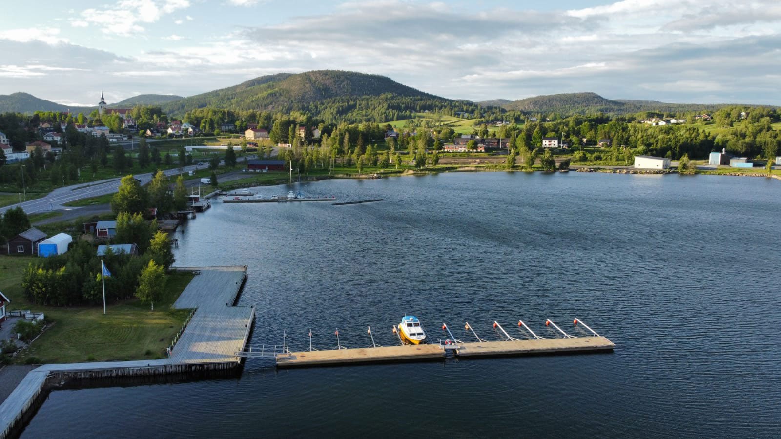
Vom Steg in Docksta spürt man fast, wie einen die Hochküste ins Landesinnere zieht. Gäste kommen mit dem Segelboot, mit Auto oder Motorrad, manchmal mit dem Bus — oder zu Fuß auf dem Höga Kustenleden. Und innerhalb eines Tages fällt fast immer derselbe Name: Skuleskogen.

Gerade bei unseren deutschen Gästen steht der Park fast immer ganz oben auf der Liste. Und ich verstehe das: Du willst einen „Wow‑Tag“, der nicht gehetzt ist, nicht improvisiert — und nicht nur aus einem Screenshot einer Wanderkarte besteht.

Darum habe ich diesen Guide geschrieben: die richtigen Eingänge, eine ikonische Runde und ein Tagesplan, der sich einfach gut anfühlt.

Für wen dieser Guide ist

Dieser Guide passt zu dir, wenn du:

  • als Paar an der Höga Kusten / High Coast mit dem Auto unterwegs bist und einen richtig guten Natur‑Tag suchst

  • gerne wanderst und eine saubere Tagesroute willst (nicht nur eine Liste von Spots)

  • mit dem Boot an der Hochküste ankommst und einen Nationalpark‑Tag von deinem „Base Camp“ aus planst

Der Fokus liegt auf Tagesgästen, die einen klaren Plan wollen — und trotzdem ein tiefes Erlebnis.


Skuleskogen in einer Minute: Was ihn so besonders macht

Der Skuleskogen Nationalpark liegt in der UNESCO‑Welterbe‑Landschaft der High Coast — bekannt für die Landhebung nach der Eiszeit, dramatische Küstengeologie und das direkte Nebeneinander von tiefem Meer und hohen Inseln.

Was du hier spürst:

  • Weite: Wald und Meer im selben Atemzug

  • Textur: roter Granit, glatte Felsplatten, Stege, Moos und Seen

  • Zeit: Geologie sichtbar — nicht im Museum versteckt

Wenn du an der Hochküste nur Zeit für einen Nationalpark‑Tag hast: Skuleskogen ist der richtige.


Die „Logik“ des Parks: Eingänge und wie du den richtigen wählst

Skuleskogen hat drei Haupteingänge: Süd, West und Nord. Den richtigen Eingang zu wählen ist schon die halbe Erfahrung.

Süd (Entré Syd)

  • Der schnellste Zugang zu den bekanntesten Highlights

  • Ideal für Erstbesucher, die die ikonische Route wollen

  • Beste Wahl, wenn du in Docksta wohnst und die Klassiker ohne Reibung erleben willst

West (Entré Väst)

  • Am zugänglichsten, wenn du aus dem Norden kommst und mit dem Bus anreist

  • Gut, wenn du tiefer in den Park willst (inkl. Option auf längere Tour / Hütten‑Übernachtung)

Nord (Entré Nord)

  • Ruhiger, „waldiger“, einfache Infrastruktur

  • Natürlich, wenn du den Höga Kustenleden (Nord–Süd) durch diese Gegend wanderst


Das Signature‑Erlebnis: Slåttdalsskrevan + Slåttdalsberget

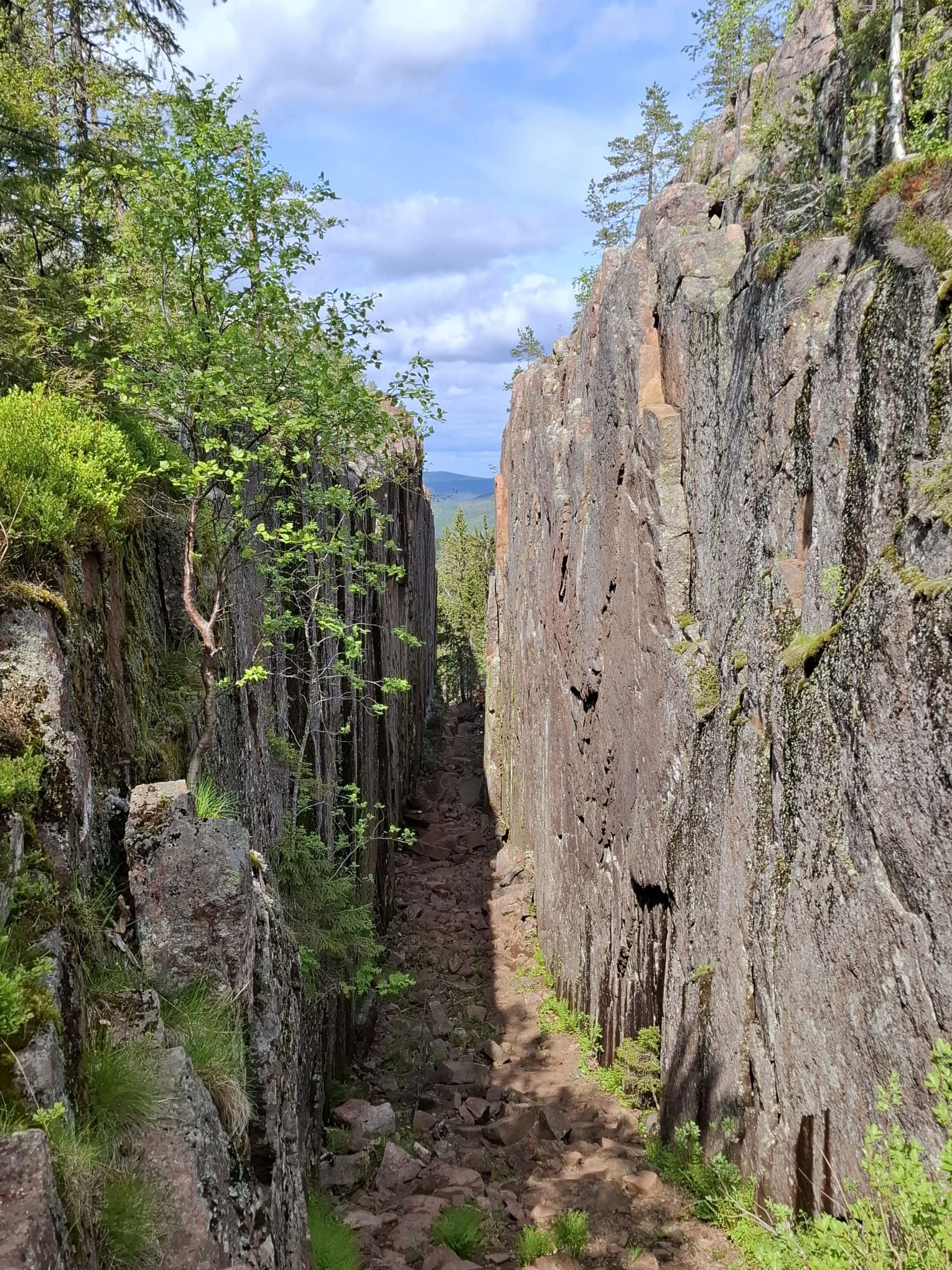
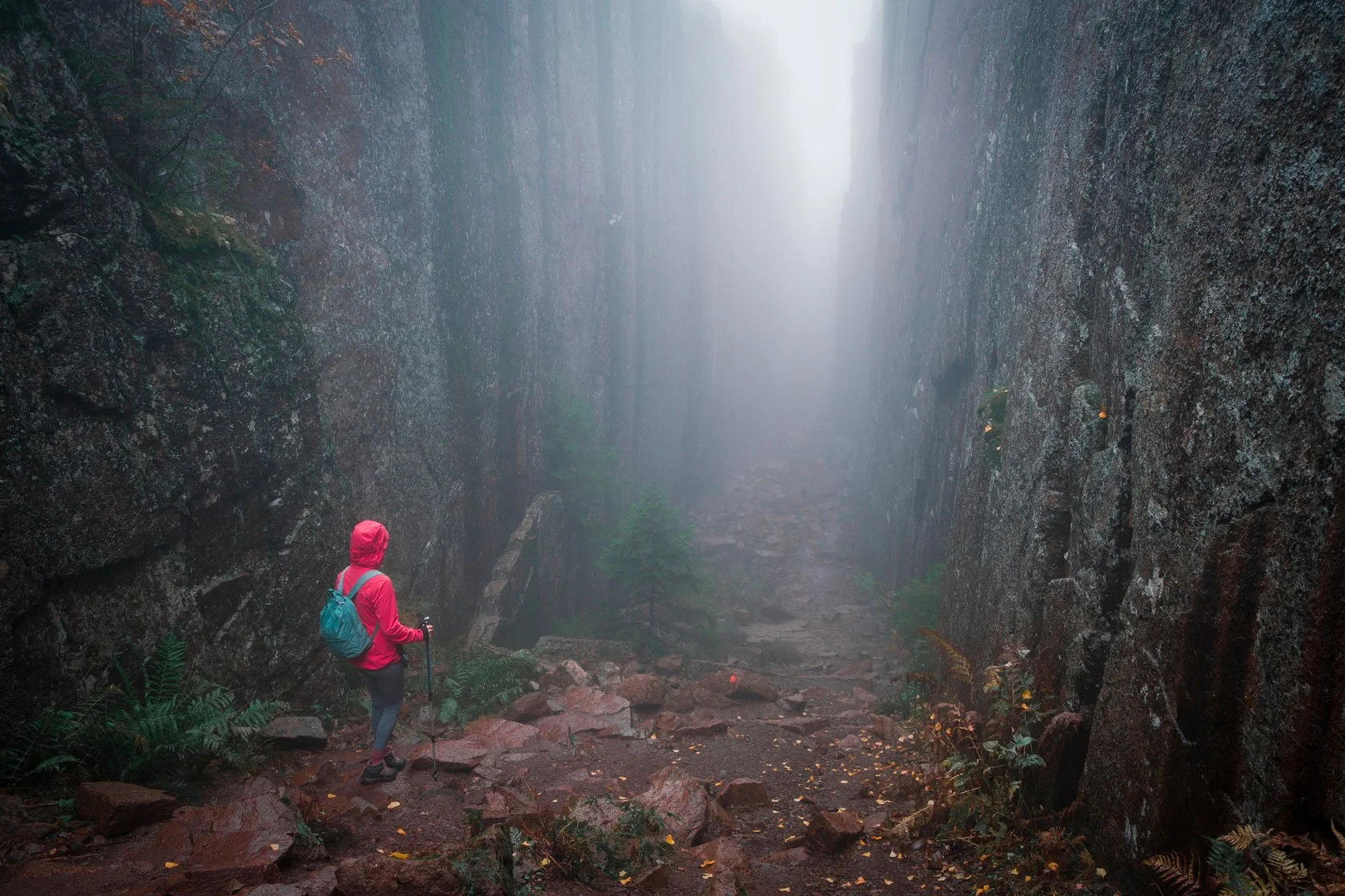
Wenn Skuleskogen nur ein „Must‑See“ wählen dürfte, wäre es die Slåttdalsskrevan — eine dramatische Felsspalte im Berg Slåttdalsberget.

Auf der offiziellen Seite der schwedischen Nationalparks wird sie als ca. 200 Meter lang und bis zu 30 Meter hoch beschrieben. Es ist einer dieser Orte, an denen man automatisch leiser spricht.

Und wenn du den kurzen Abstecher auf den flachen, felsigen Gipfel des Slåttdalsberget dranhängst, bekommst du einen der schönsten Panoramablicke über den Schärengarten und die Parklandschaft.


Empfohlene Tagesroute (die Docksta‑Havet‑Runde)

Das ist die Runde, die ich empfehle, wenn du Skuleskogen an einem Tag „richtig“ spüren willst: Küste, alter Wald, Seen, die Spalte, ein Gipfelblick — und ein ruhiges Ende.

Auf einen Blick

  • Distanz / Höhenmeter / Zeit: ca. 11,4 km, D+321 m, ca. 4–6 Stunden (mittel)

  • Start / Ziel: Entré Syd (Südeingang)

  • Stil: Küste → Wald → Seen → Spalte → Gipfel → Stege → Strand‑Finale

Schritt für Schritt

  1. Starte am Parkplatz Entré Syd.

  2. Küsten‑Warm‑up Richtung Näske bodarna: ein wunderschöner Pfad zwischen Wald und Meer.

  3. Aufstieg zu den Tärnättvattnen‑Seen (blaue Markierung). Perfekt für Pause und Lunch — und an warmen Tagen auch für einen erfrischenden Sprung ins Wasser.

  4. Der „Wow‑Kern“: durch die Slåttdalsskrevan (Nord → Süd). Nimm dir Zeit — hier geht es um Präsenz, nicht um Tempo.

  5. Optional (sehr empfohlen): kurzer Abstecher auf den Gipfel Slåttdalsberget. Kaffee schmeckt dort besser. Stille auch.

  6. Abstieg zurück durch den Wald (orange Markierung + Steg‑Abschnitte). Ein weicherer Rhythmus.

  7. Abschluss am Strand Kälsviken (Kälsviken / Kälsaviken). Wenn’s passt: ein Bad. Wenn nicht: Snack, Sonne, und dieses „wir haben’s wirklich gemacht“-Gefühl.

  8. Zurück zum Parkplatz Entré Syd — wo dein Auto steht oder dein Fahrrad abgeschlossen ist.

Toiletten (gut zu wissen)

Toiletten gibt es bei:

  • Entré Syd

  • Näske bodarna

  • Tärnättvattnen

  • Kälsviken


Warum diese Runde funktioniert

Es gibt viele Wege im Skuleskogen. Diese Runde ist ausgewogen: Sie bringt dich zu den Signature‑Orten, ohne dass der Tag zur Mission wird.


Noch unsicher bei der Planung?

Wenn du mir deine Reisedaten, dein Tempo und deine Wünsche (Aussicht / Waldstille / Bad) schickst, empfehle ich dir die passende Variante.

Und falls du lieber selbst planst: kompletter Skuleskogen‑Itinerary (🇬🇧) — Schritt für Schritt → [ https://dockstahavet.se/blog/hiking-in-skuleskogen ]


Was du zusätzlich sehen kannst (wenn du mehr Zeit hast)

Je nach Eingang und Energie werden u.a. empfohlen:

  • Tärnättholmarna (Halbinseln mit schmalen Sandverbindungen; Hütten möglich)

  • Kälsviken (Sandstrand nahe Entré Syd)

  • Nylandsruten & Långtjärnhällorna (Aussichten/Schleifen nahe Entré Väst)

  • Näske bodarna (historischer Bereich, sehr schöner Tageswalk)


Anreise: Auto, Bike + Hike, Bus — und „Base‑Camp‑Denken“

Bike + Hike (die smarte Sommer‑Option)

Hier ist der Move, der vieles leichter macht: Parke in Docksta, leihe dir ein Grab&Go‑Bike, fahre nach Skuleskogen, schließe das Rad am Eingang ab — und wandere deine Route.

Warum das zählt:

  • Parkstress reduziert: Du parkst einmal in Docksta (ruhig, organisiert), nicht am überfüllten Parkeingang.

  • Flexibel: Kein Shuttle‑Fahrplan, kein Taxi‑Timing — du bestimmst deinen Tag.

  • Die Fahrt gehört dazu: Die ca. 8–10 km entlang der Küste sind ein Warm‑up, kein Parkplatz‑Chaos.

  • Car‑light Sommer: Wenn mehr Besucher so anreisen, bleiben die Zufahrtsstraßen ruhiger — besser für alle.

Genau dafür ist Grab&Go gedacht: nicht nur „ein Fahrrad mieten“, sondern „den Tag smarter machen“.

Skuleskogen Bike‑First Day Plan (🇬🇧) → [ https://dockstahavet.se/outdoor-gear-rental-hoga-kusten/guides-stories/skuleskogen-national-park-bikefirst-day-plan-from-docksta ]

Kostenlos (Deutsch): Wenn du die Hochküste zum ersten Mal besuchst, hol dir hier meine Mini‑Guide mit praktischen Basics und lokalen Tipps → [ https://dockstahavet.se/de/entdecken-sie-die-hochkuste ]

Mit dem Auto (direkt und flexibel)

Alle drei Eingänge sind von der E4 aus ausgeschildert. Für Paare ist das die einfachste, flexibelste Variante.

Hinweis: In der Hochsaison (Juli–Anfang August) kann es an manchen Tagen zu Parkplatzdruck kommen. Wer kann, wählt Juni oder Ende August für ein ruhigeres Erlebnis.

Mit dem Bus (ohne Auto)

Laut regionaler Besucherinfo verbindet Bus 50 Härnösand / Örnsköldsvik. Man kann bei Skule Entré Väst E4 aussteigen und den letzten Abschnitt zu Fuß gehen. Bitte Fahrplan immer aktuell prüfen.

Mit dem Boot (für Segler)

Wenn du per Boot ankommst, ist die Base‑Camp‑Frage entscheidend: Wo kannst du schlafen, duschen, runterfahren — und den Parktag ruhig planen?

Genau so denken wir in Docksta Havet: sicherer Hafen‑Rhythmus, dann ein Waldtag.


Wann du gehen solltest (und wie sich die Saison anfühlt)

Skuleskogen ist im Juni nicht derselbe Park wie Ende August.

  • Frühsommer: langes Licht, frisches Grün, beliebte Wege werden voller

  • Hochsommer: Bade‑Tage möglich, aber mehr Menschen und Parkplatzdruck

  • Spätsommer/Frühherbst: ruhiger, tiefere Farben, kontemplativer


Sicherheit & Regeln (damit der Tag schön bleibt)

Skuleskogen ist freundlich — aber echte Natur.

  • Wetter kann auf Granit und Aussichtspunkten schnell kippen

  • Felsen (und besonders Wurzeln) können nach Regen rutschig sein

  • Zecken gibt es in Schweden: danach kurz checken

  • Feuerregeln respektieren

  • Leave no trace: Der Park bleibt wild, weil Besucher sich wie Gäste verhalten

Für aktuelle Regeln/Updates: vorab die offiziellen Nationalpark‑Infos checken.


Packliste (skandinavien‑tauglich, simpel)

  • Wasser (mehr als du denkst)

  • Windjacke + leichter Regenschutz

  • Gute Schuhe (Grip zählt)

  • Snacks/Lunch (mehr als du denkst) + ein Comfort‑Item (Kaffee, Schokolade, Obst)

  • Offline‑Karte (oder Download)

  • Kleines Erste‑Hilfe‑Set (Blasenpflaster sind der wahre Held, wenn die Schuhe noch nicht perfekt eingelaufen sind)

Basic tips to get ready for your day hike (🇬🇧) → [ https://dockstahavet.se/blog/explore-hoga-kusten/get-ready-your-day-hike ]


Wenn du’s easy willst: Docksta als Base Camp

Dieser Guide ist content‑first — aber wenn du hier bist, stellst du dir wahrscheinlich auch die praktische Frage:

„Wo übernachte ich, damit sich dieser Tag leicht anfühlt?“

Docksta ist eine natürliche Basis für Skuleskogen und die Hochküste.

Für Paare (Seaside‑Stays)

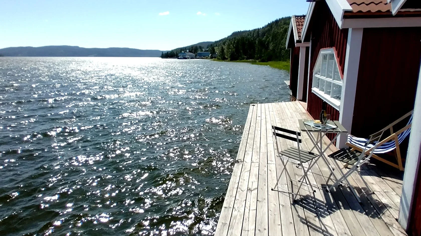
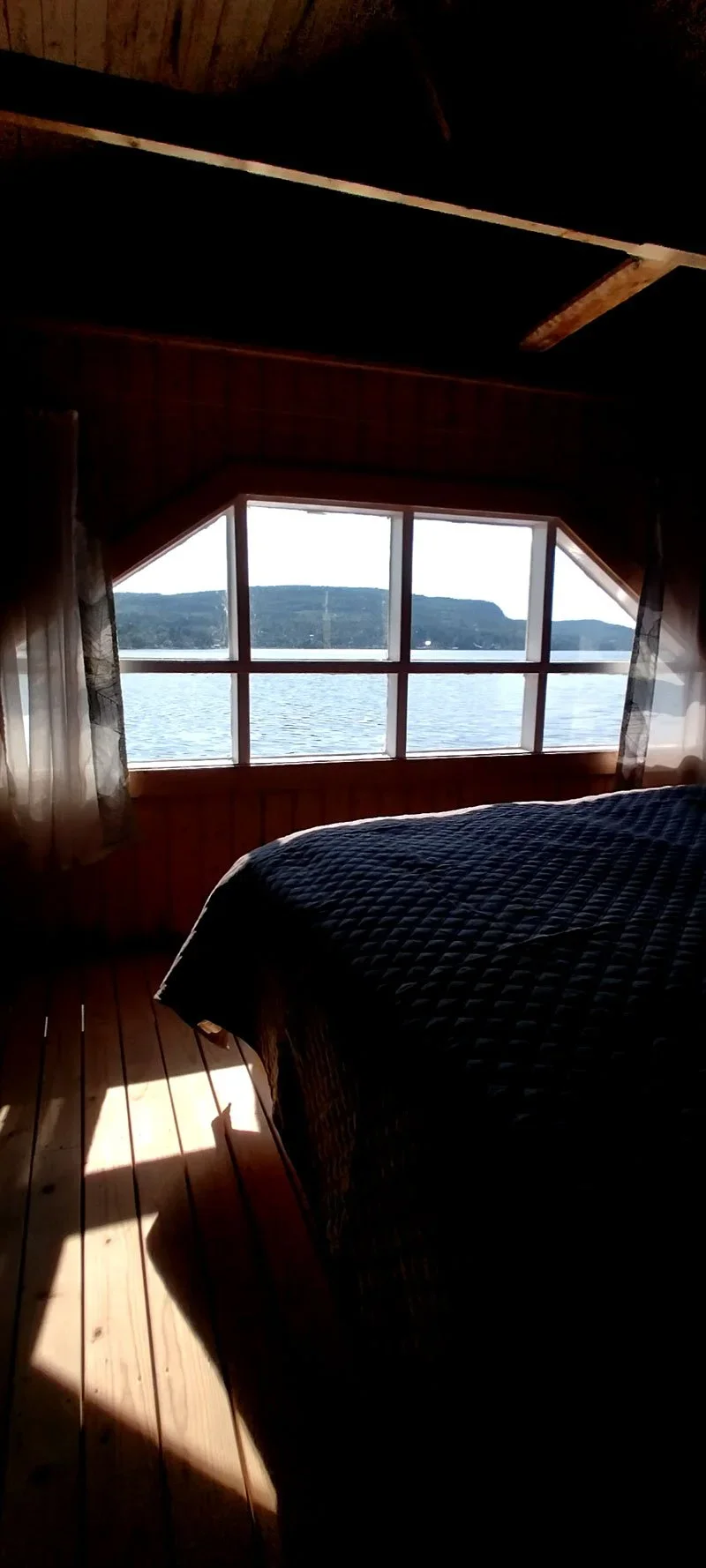
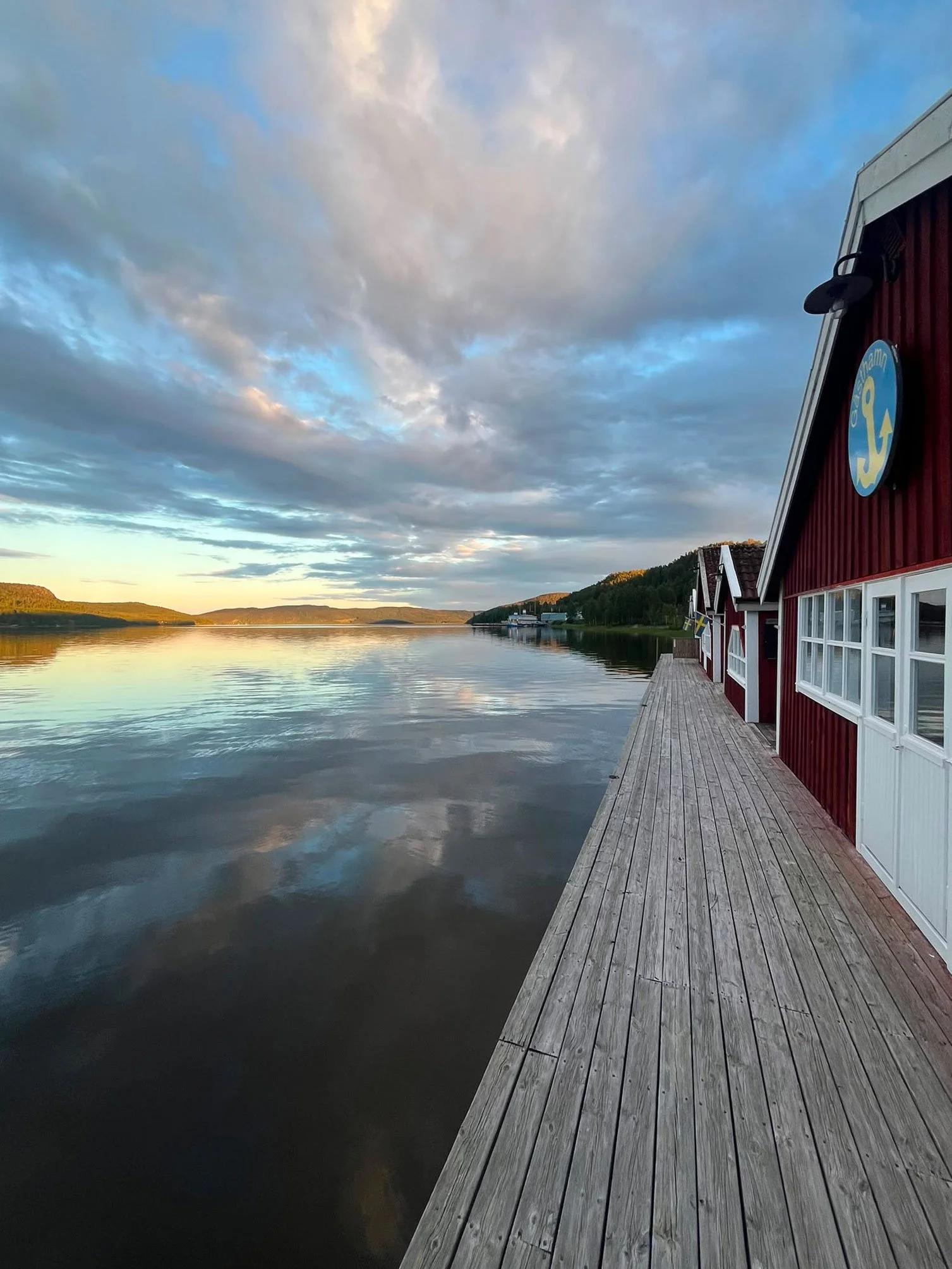
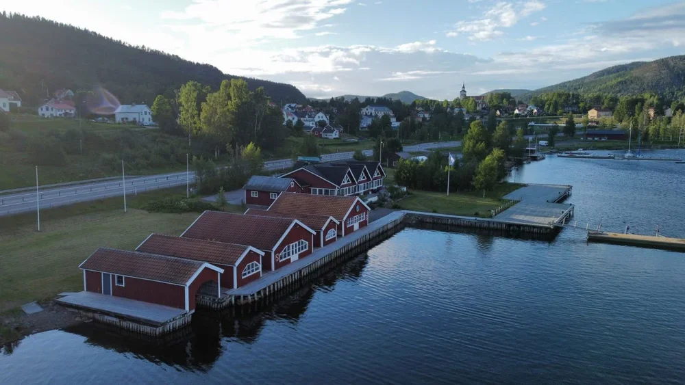
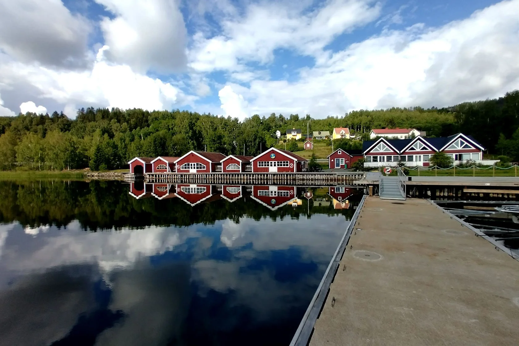
Drei verschiedene Seaside‑Stays — jede mit eigenem Charakter, alle direkt am Wasser.

Schlaf am Meer, bleib nah an allem, und nutze Docksta als dein High‑Coast‑Base‑Camp: Skuleskogen Nationalpark und der Skuleberget sind schnell erreichbar — und auch die Fähre nach Ulvön ist nicht weit.

  • Boathouse (minimalistisch, über dem Wasser)

  • Dock House (komfortabel, ruhig, perfekt für Paare)

  • Guest House (voll ausgestattet, mit starkem Meerblick)


Für Segler

Mehr als ein Liegeplatz: dein High‑Coast‑Base‑Camp zwischen Meer und Trails. Boot sicher ablegen, heiß duschen, Espresso & lokale Tipps im Sailor's Club House — und dann Skuleskogen (oder Skuleberget) entspannt erleben.

Was dich erwartet:

  • Y‑Bäume / längsseits

  • Service House (Duschen, WC, Laundry)

  • Club House (Lounge, Espresso, WiFi)

  • Fahrrad‑ & Outdoor‑Ausrüstungsverleih


Sailing Guide to Höga Kusten: Sweden's UNESCO Archipelago (🇬🇧) — (FREE web resource: no download, no registration) → [ dockstahavet.se/high-coast-sailor-mini-guide ]

Für alle, die leicht reisen wollen

Kein Gear? Kein Problem.

Wenn du „car‑light days" magst: Bike‑first ab Docksta, Rad am Eingang abschließen, dann wandern.

Grab&Go ist kein klassischer Ausrüstungsverleih — es ist ein einfacher Weg zu einem Outdoor‑Ready‑Tag. Holst du dein Setup (Bike, Daypack, Hammock oder Bundle) in wenigen Minuten ab, bekommst einen simplen „Today‑Plan" — und los geht's. Flexible Rückgabe, Zahlung per Karte


Ein letzter Hinweis (von einem lokalen Host)

Skuleskogen belohnt eine bestimmte Haltung: nicht erobern, nicht sammeln — sondern besuchen.

Wenn du willst, schreib mir kurz:

  • deine Reisedaten

  • dein Fitnesslevel

  • ob du eher Aussicht, Waldstille oder ein Bad willst

… und ich sage dir, welcher Eingang und welches Timing am besten passt.

E‑Mail: dockstahavet@gmail.com — oder WhatsApp: +46 763 136 909 (kurz & direkt).

Tommaso — Host bei Docksta Havet Base Camp. Ich lebe die Saison direkt am Wasser und helfe Gästen seit Jahren dabei, die Hochküste leicht (und nicht gehetzt) zu erleben.