A practical planning guide (with reliable links) — and a simple Base Camp option near Skuleberget
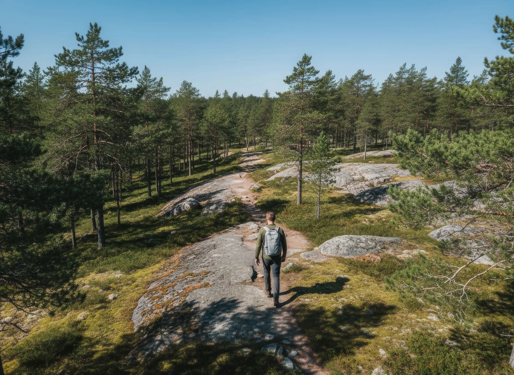
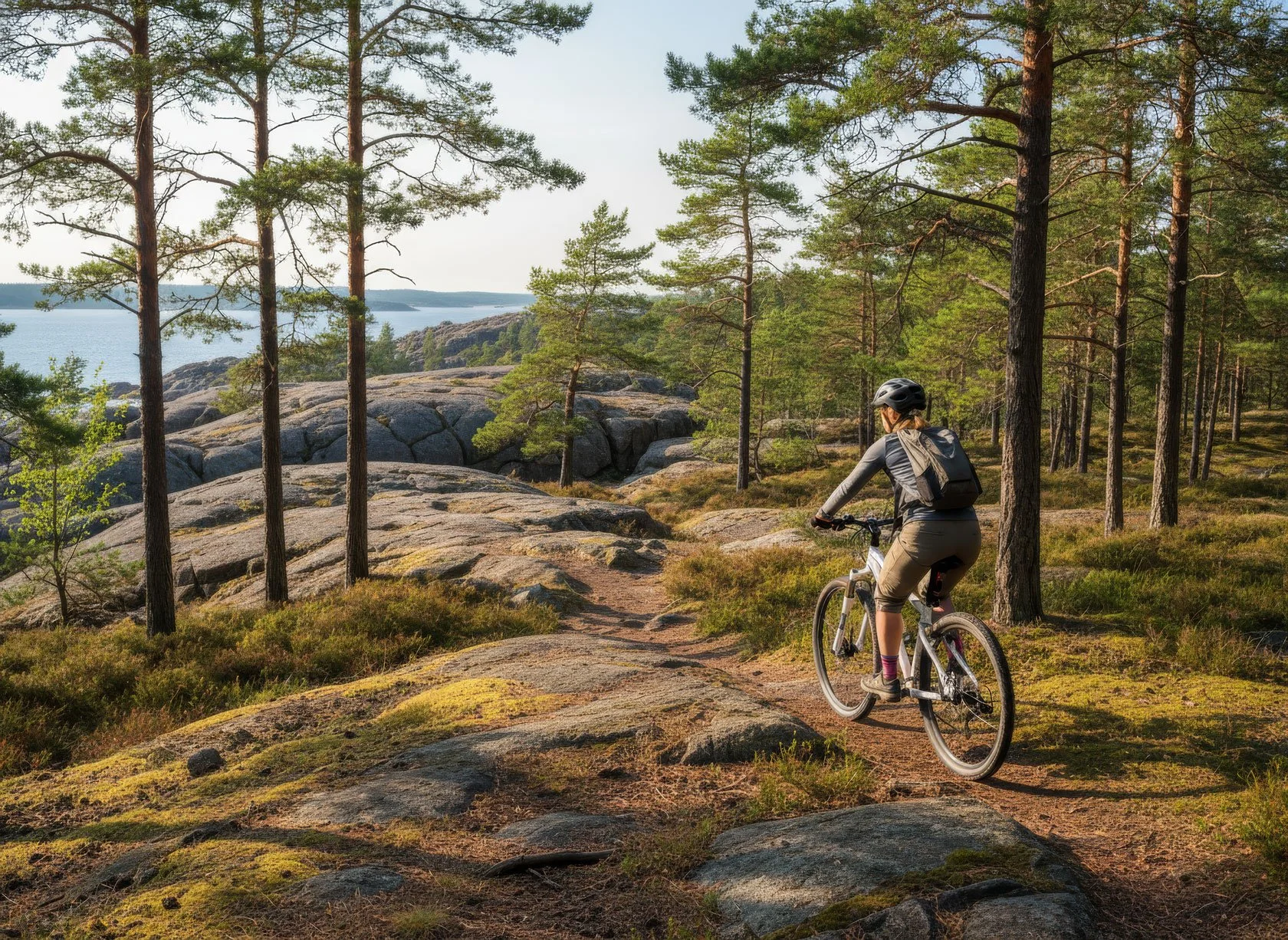
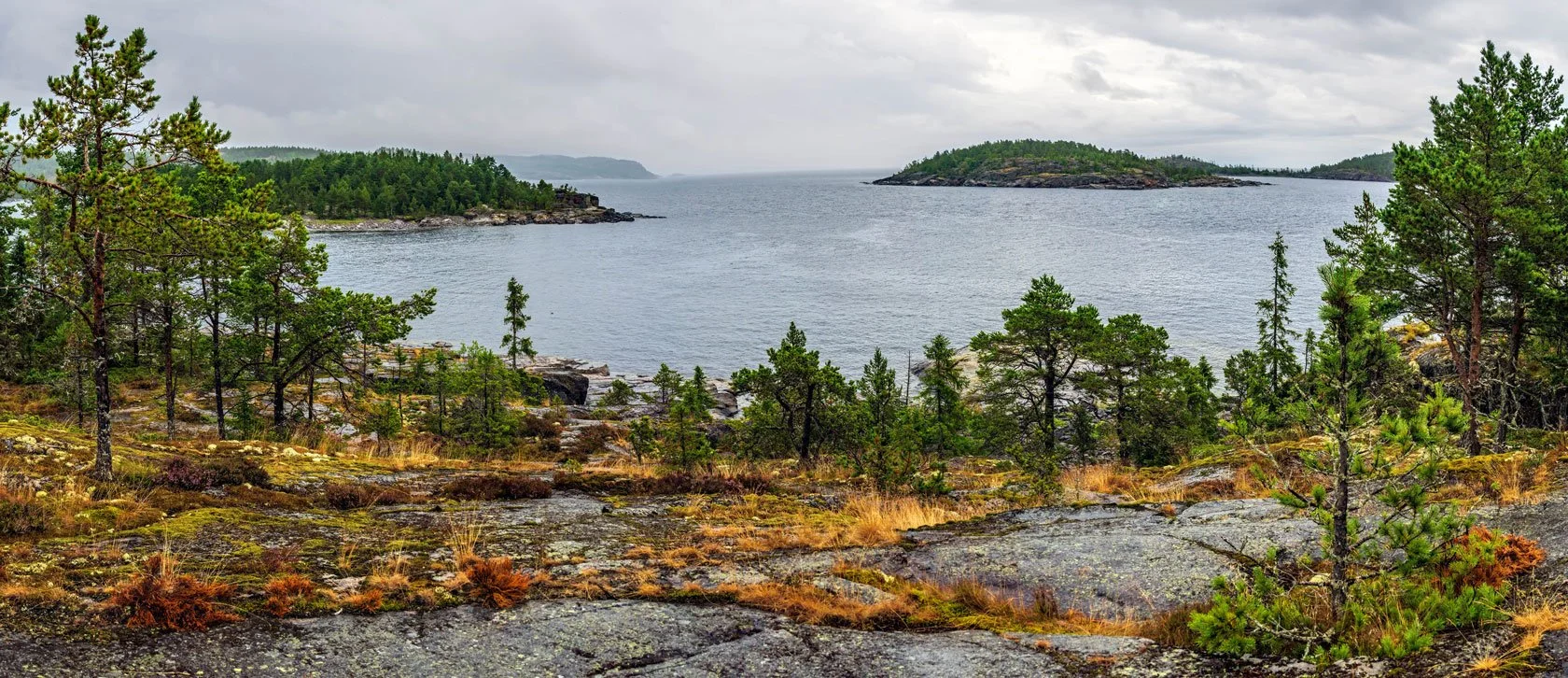
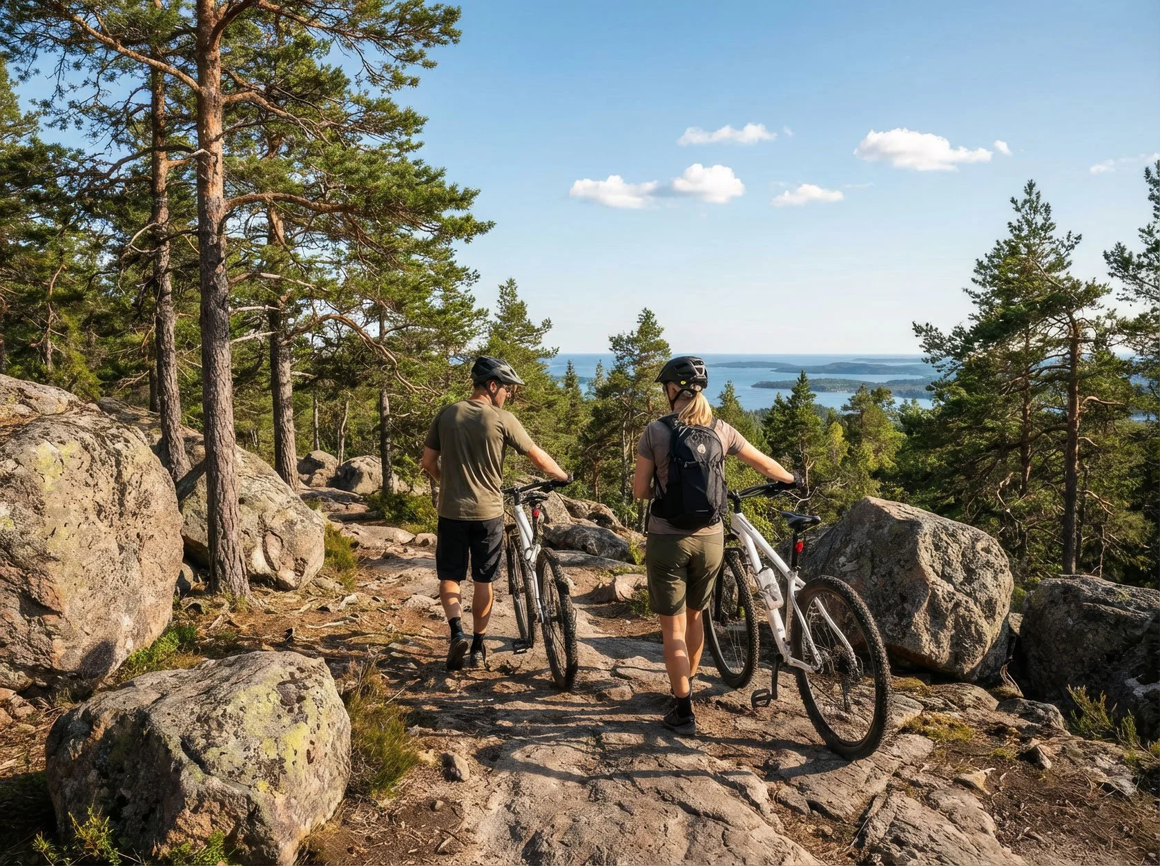
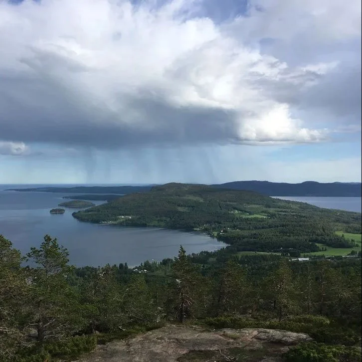
If you’re planning the Höga Kustenleden (High Coast Trail), you’ll hit this question fast: is it 135 km or 140 km? And why do different sources give different totals — plus different numbers of sections/stages?
Here’s the simple truth: the trail is real, the landscape is real, 135 km (9 sections) vs 140 km (7 stages) is often just a different way of packaging the same hike.
In this guide I’ll show you:
what the official sources actually say (with links you can verify in 10 seconds)
why the numbers don’t match
a planning method that stays stable even when the headline distance changes — daily capacity (time-on-feet + buffer), not a single perfect number
The short answer: you’ll see 135 km and 140 km — and both can be “right”
If you Google Höga Kustenleden (High Coast Trail), you’ll quickly hit a classic planning snag: different sources give different totals.
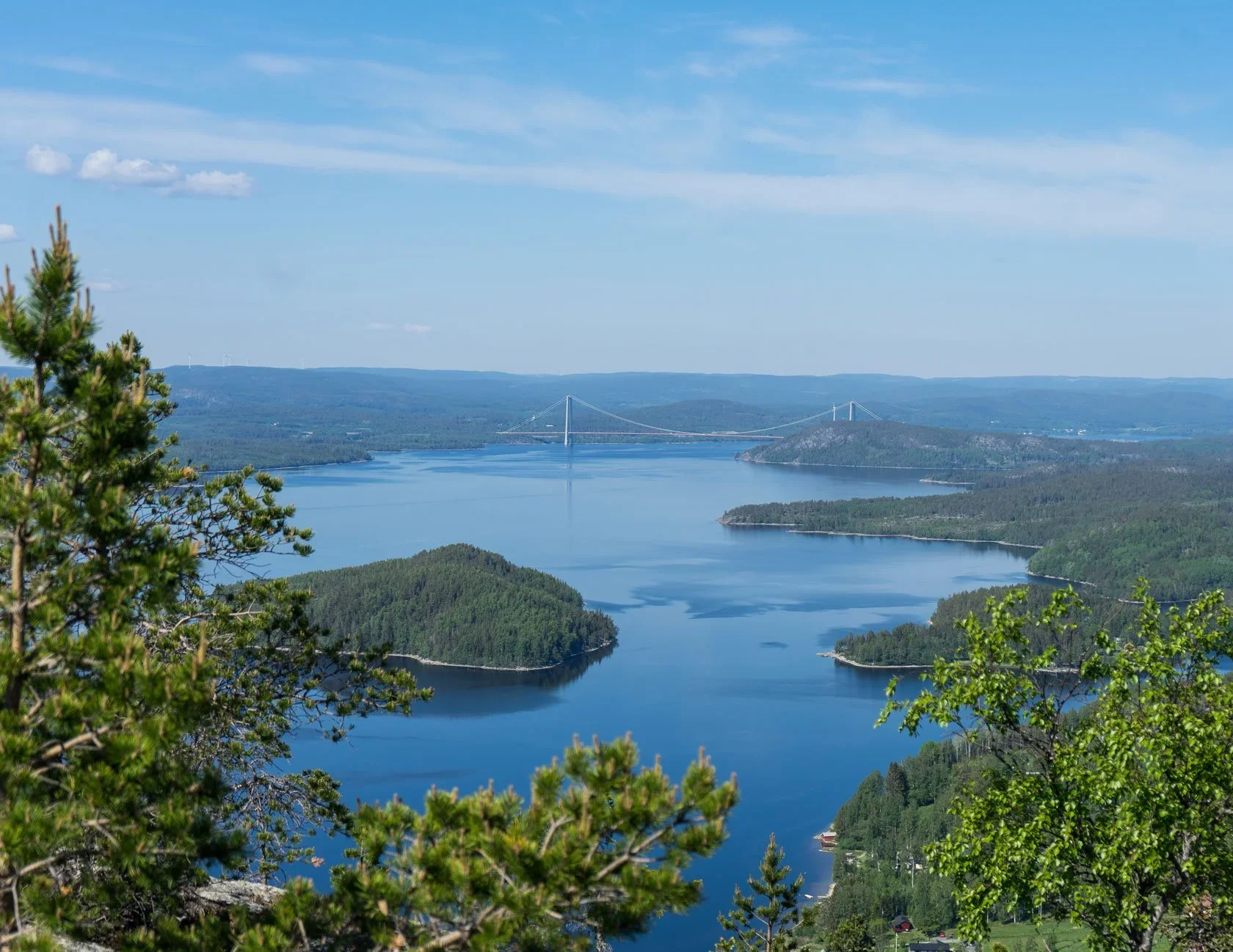
The official destination site presents the High Coast Trail as 135 km divided into 9 sections.
The Swedish Tourist Association (STF) describes the Signature Trail Höga Kusten as 140 km divided into 7 stages.
This post is not here to pick a fight with numbers. It’s here to help you plan a hike that feels good on your legs, fits your daylight and logistics, and still leaves room for the detours you’ll want to take.
What the main sources actually say (so you can verify fast)
Official destination: 135 km, 9 sections
Höga Kusten’s official trail overview states:
Total length: 135 km
Sections: 9
Estimated time: 7–9 days
It also links to individual section pages with distances — useful if you want to build your own itinerary.
Swedish Tourist Association: 140 km, 7 stages
STF’s Signature Trail page frames the same journey as:
140 km from Hornöberget to Örnsköldsvik
7 stages of varying lengths
This is a more “day-by-day” packaging, designed for hikers who want a clear stage rhythm.
Naturkartan: the planning layer (map + POIs)
Naturkartan works beautifully as a planning overlay: map view, points of interest, rest spots, and practical filters. It’s less about giving you one definitive headline number and more about helping you navigate the trail as a living system.
Why the numbers don’t match (and why it’s normal)
1) Sections vs stages: different ways to slice the same trail
A “section” is often a geographic segment. A “stage” is often a human day: where you can realistically end, sleep, resupply, and start again.
So when you see 9 sections vs 7 stages, you’re not necessarily seeing a contradiction — you’re seeing two different planning lenses.
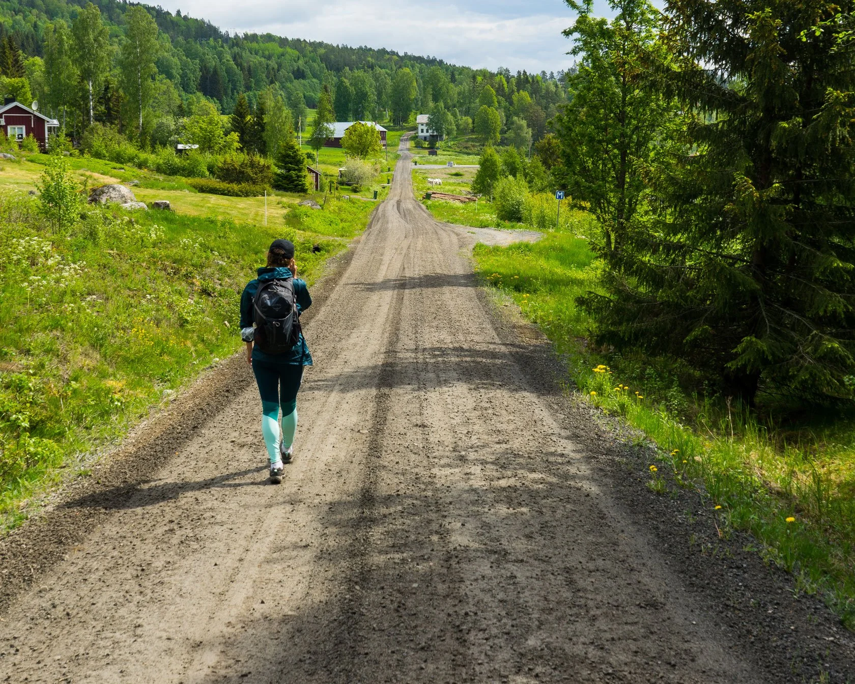
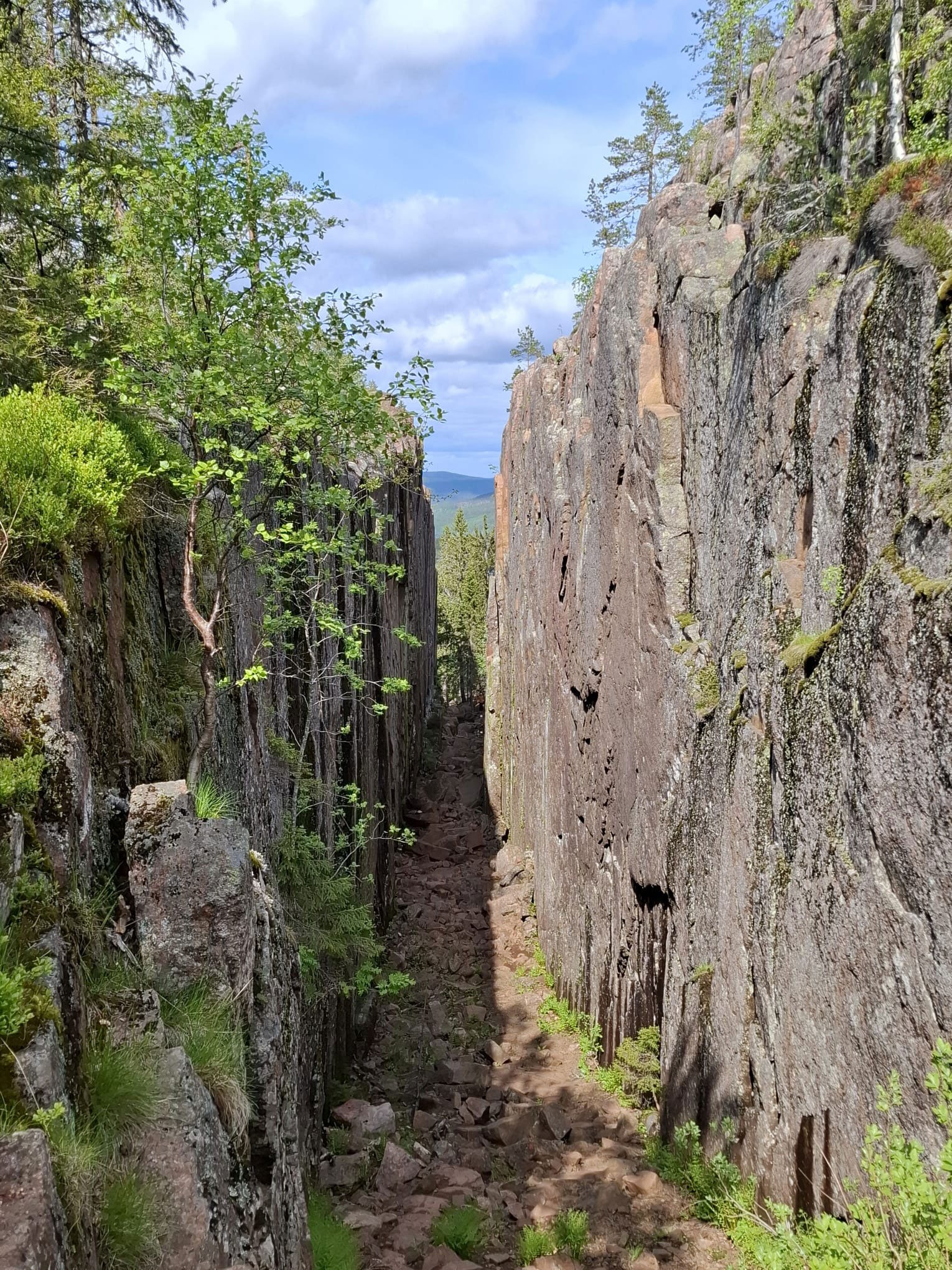
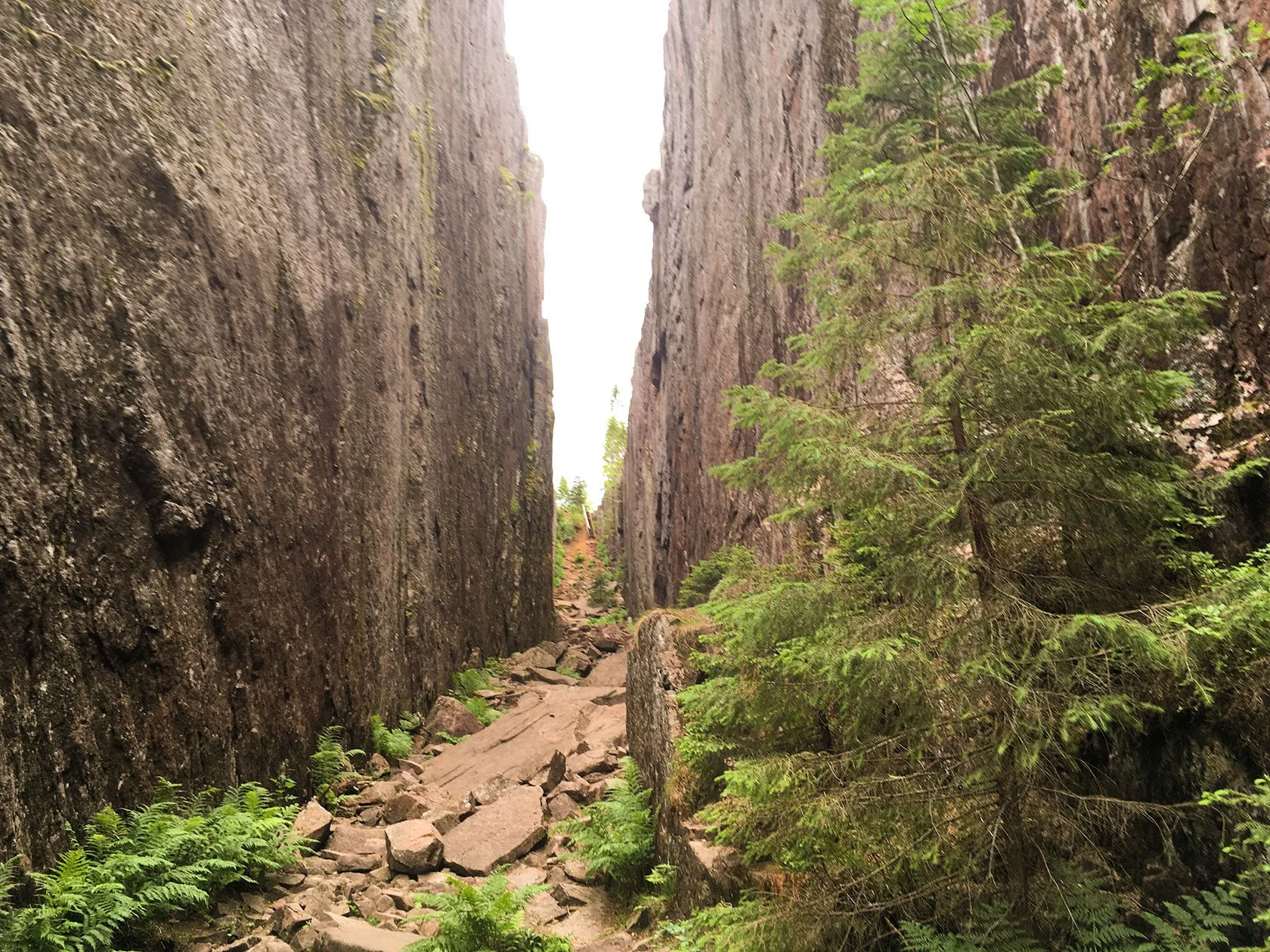
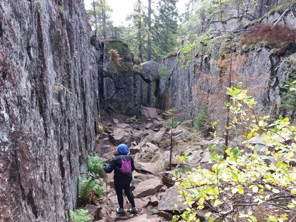
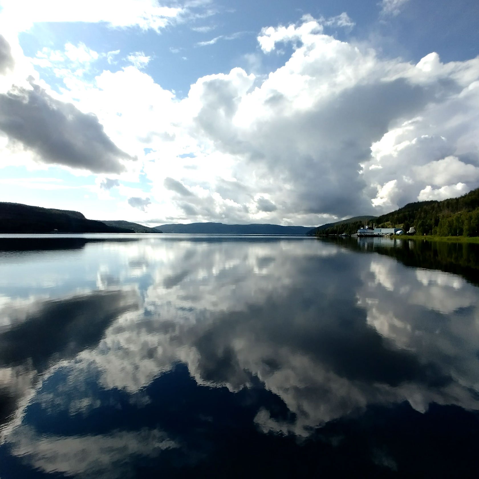
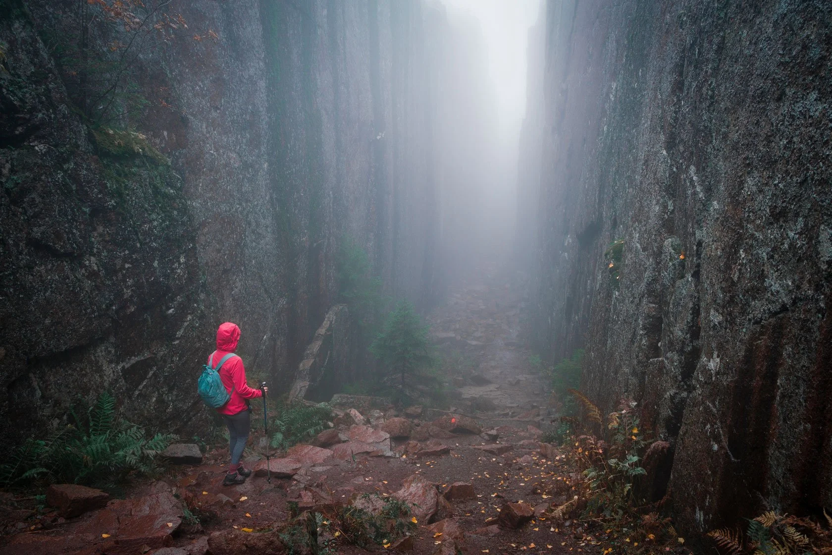
2) Detours that change your real distance (the ones people actually do)
On Höga Kustenleden, the “real” distance you walk is often:
the official line plus viewpoint detours,
plus small reroutes,
plus the extra steps you take for food, water, swimming coves, and photo stops.
In other words: your hike is not a ruler measurement. It’s a day outside.
3) Updates and mapping platforms catching up at different speeds
Trails evolve. Signage improves. Access points change. Some websites update immediately; others update later; apps may use older GPX traces.
That’s why the best strategy is not to obsess over a single number — but to plan with a method that stays stable even when the headline distance shifts.
A collector of reliable links (start here)
Official trail overview + section pages
High Coast Trail overview (135 km / 9 sections): https://www.hogakusten.com/en/highcoasttrail
STF Signature Trail page (140 km / 7 stages)
Signature trail Höga Kusten: https://www.swedishtouristassociation.com/trails/signature-trail-high-coast/
Naturkartan planning layer
Höga Kustenleden map/guide: https://www.naturkartan.se/sv/hogakustenleden
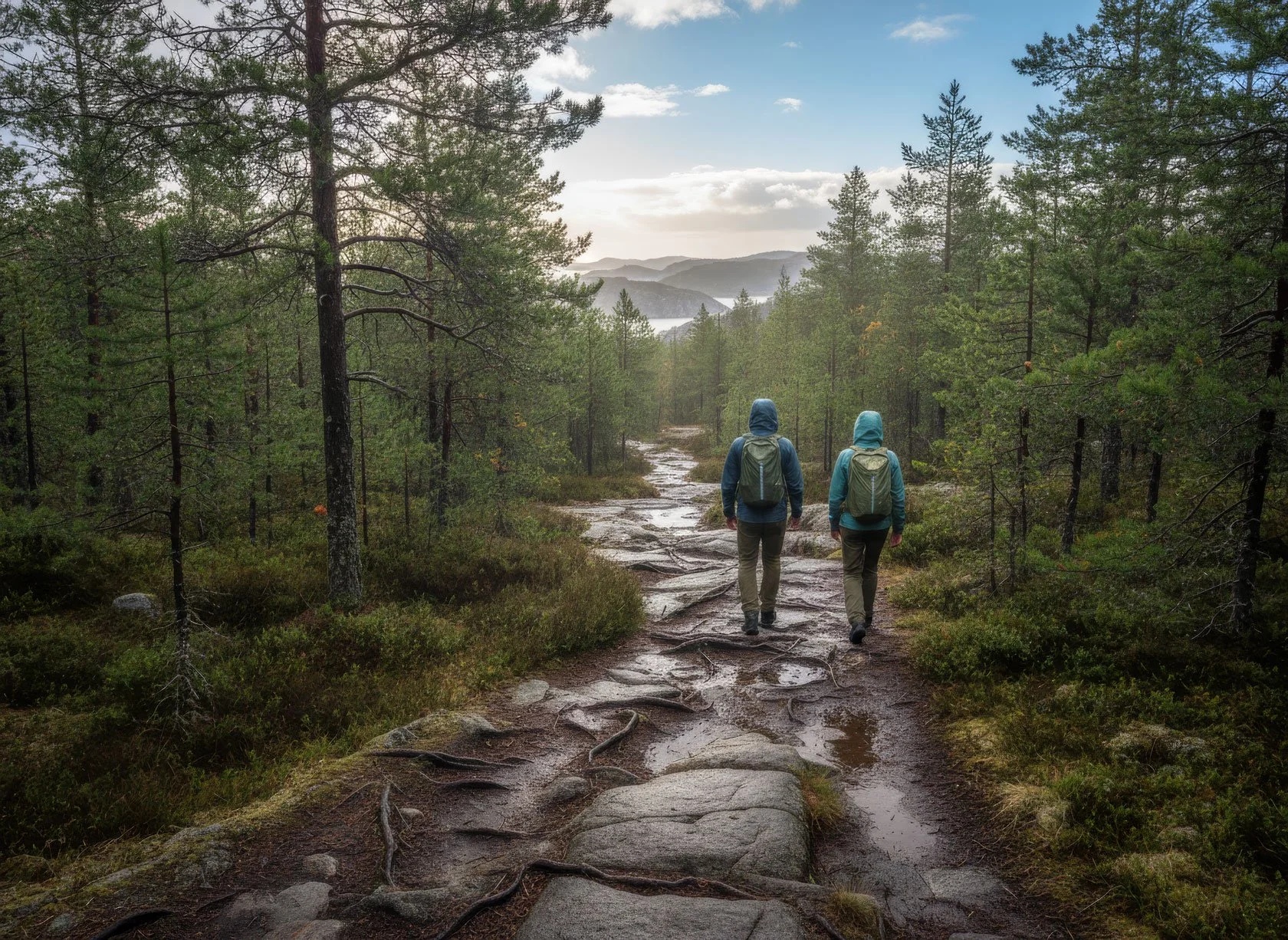
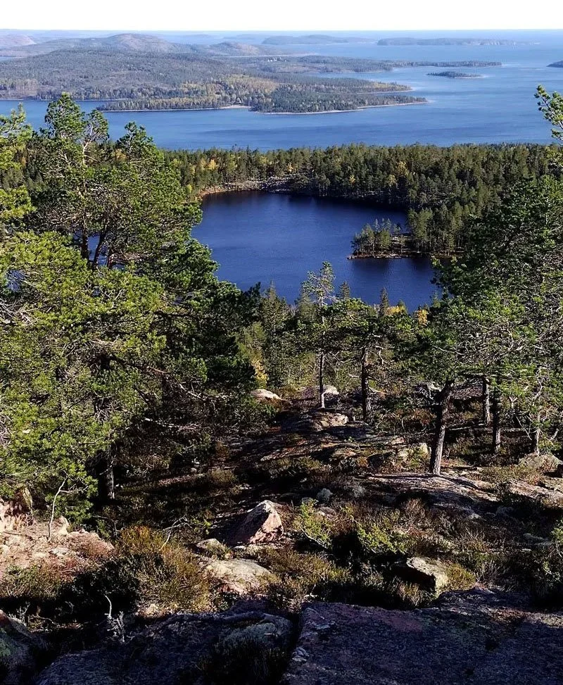
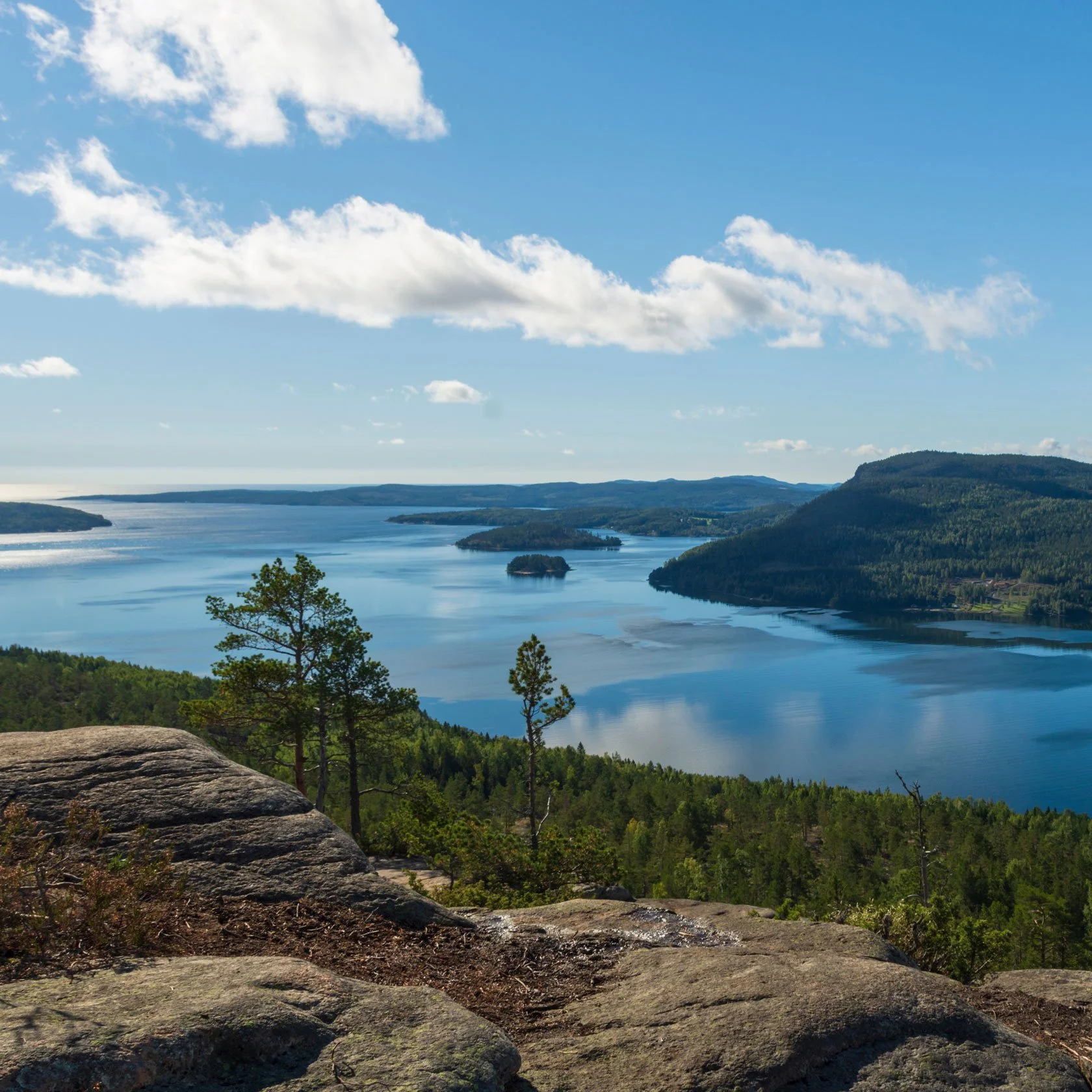
What matters more than total kilometres
Time-on-feet beats kilometres
Two days can have the same distance and feel completely different. What changes the effort is:
elevation gain/loss,
technical terrain,
how many “stop-and-look” moments the landscape invites.
A practical planning question is: How many hours do you want to be moving today — and how much buffer do you want for being human?
Logistics decide your pace: water, daylight, transport
Your daily rhythm is shaped by:
where you can refill water,
where you can buy food (or not),
how much daylight you have (especially outside midsummer),
how you’ll connect to buses/trailheads.
Plan without a single number: the “day capacity” method
Step 1: Choose a daily time budget (not a km target)
Pick a comfortable moving window (example ranges):
4–6 hours/day: relaxed pace, more time for detours and swims
6–8 hours/day: classic long-hike day
8–10 hours/day: strong days, less margin for weather and lingering
Step 2: Add a buffer (seriously)
Add a buffer for:
weather,
wet rock,
breaks,
photos,
detours you’ll regret skipping.
A simple rule: plan 20–30% more time than your “perfect conditions” estimate.
Step 3: Build your route using official section/stage pages
Use the official section breakdown (or STF stages) to assemble days that match your capacity.
Step 4: Lock in maps + transport links before you lock in ambition
Before you commit to a “7-day” or “9-day” story, make sure you’ve checked:
section access points,
bus stops and timetables,
where you’ll sleep — under a roof, in a tent, or a mix.
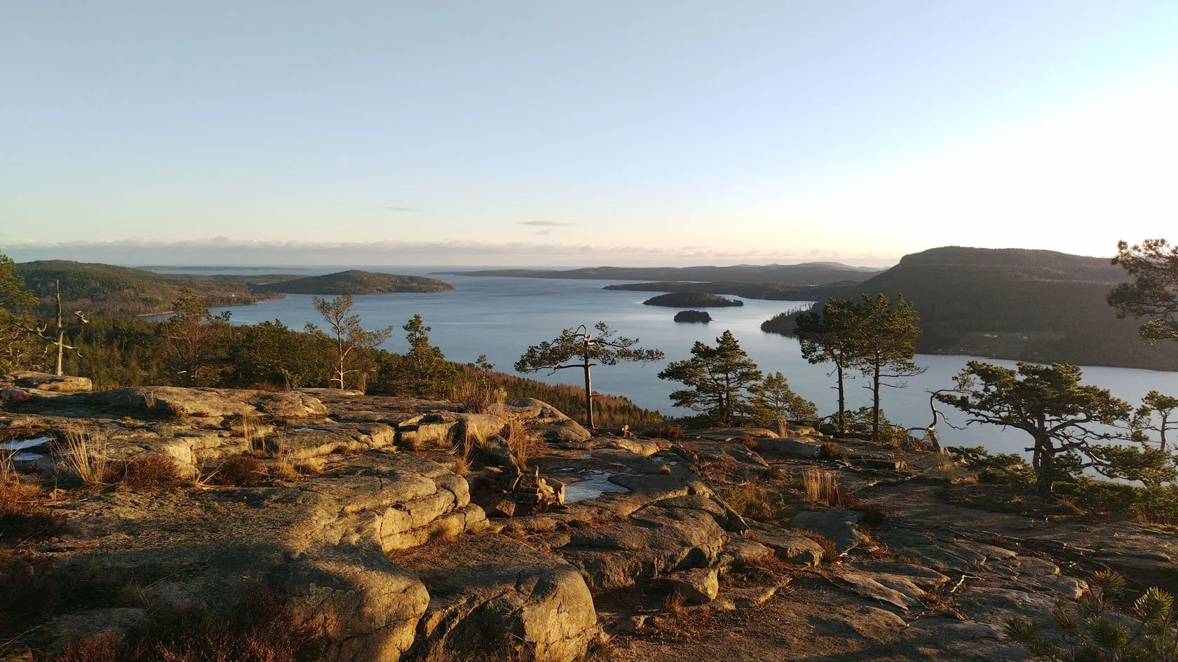
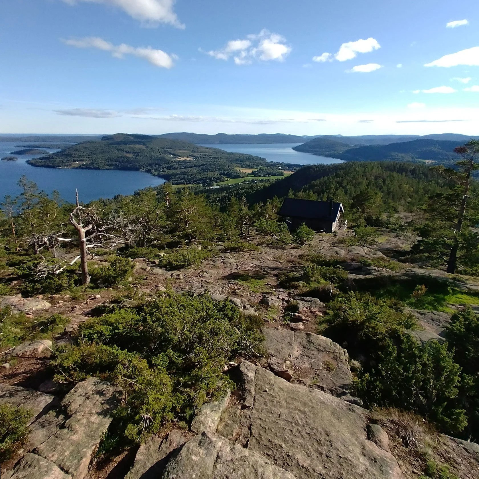
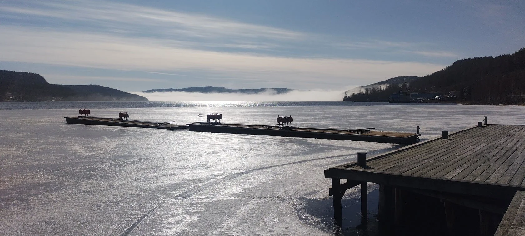
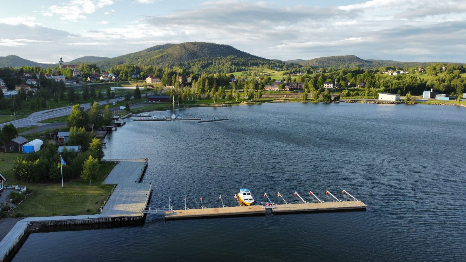
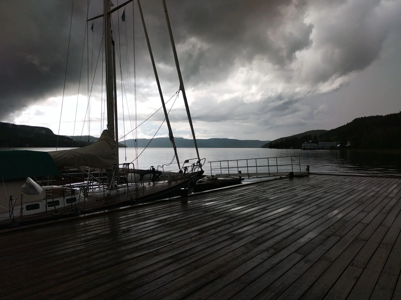
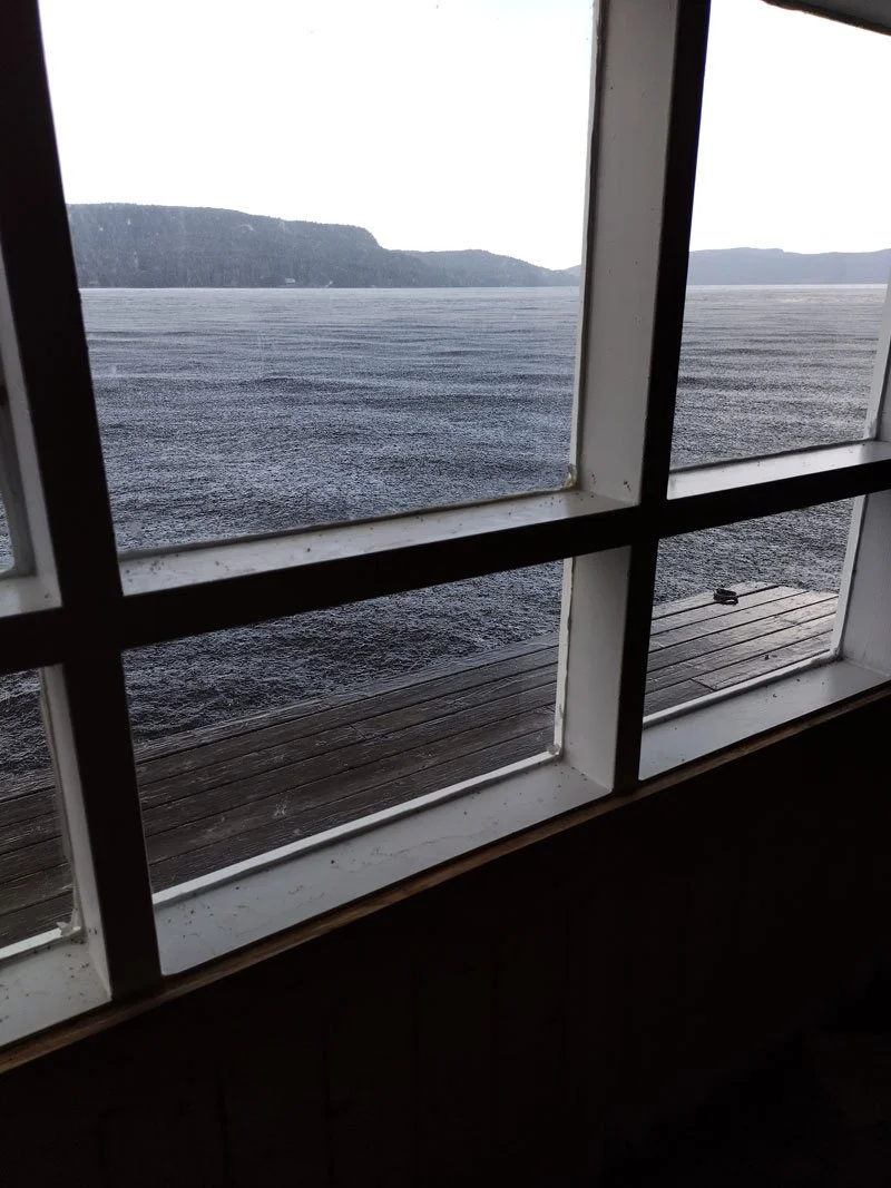
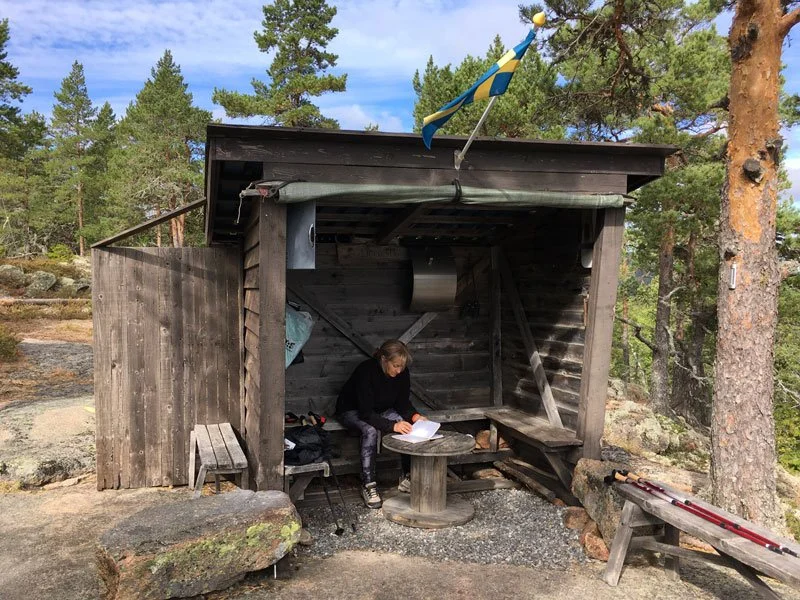
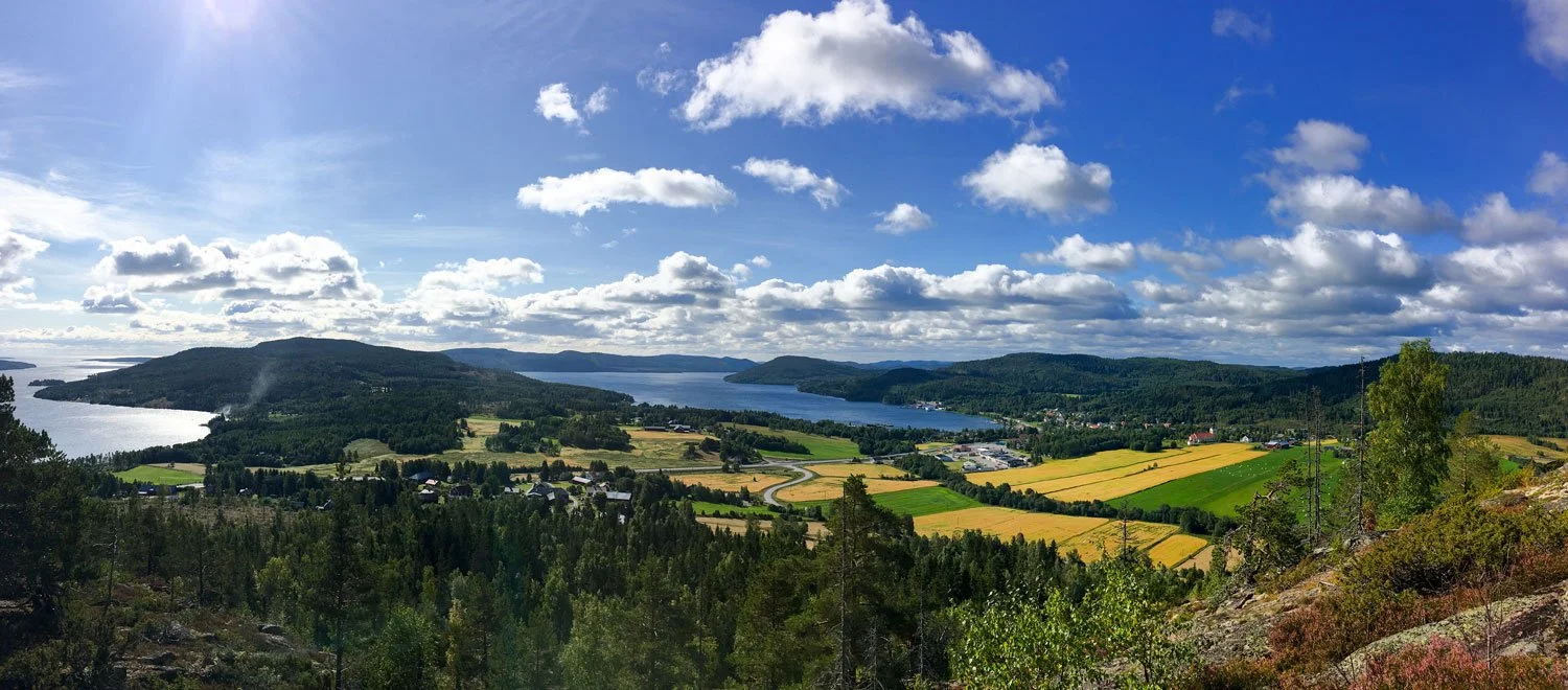
Where to stay for the Höga Kustenleden: Docksta as a simple Base Camp (near Skuleberget)
Most official trail pages list hotels, hostels, cabins, and designated camping spots. That’s great if you’re following the trail in a classic “sleep exactly where the stage ends” rhythm.
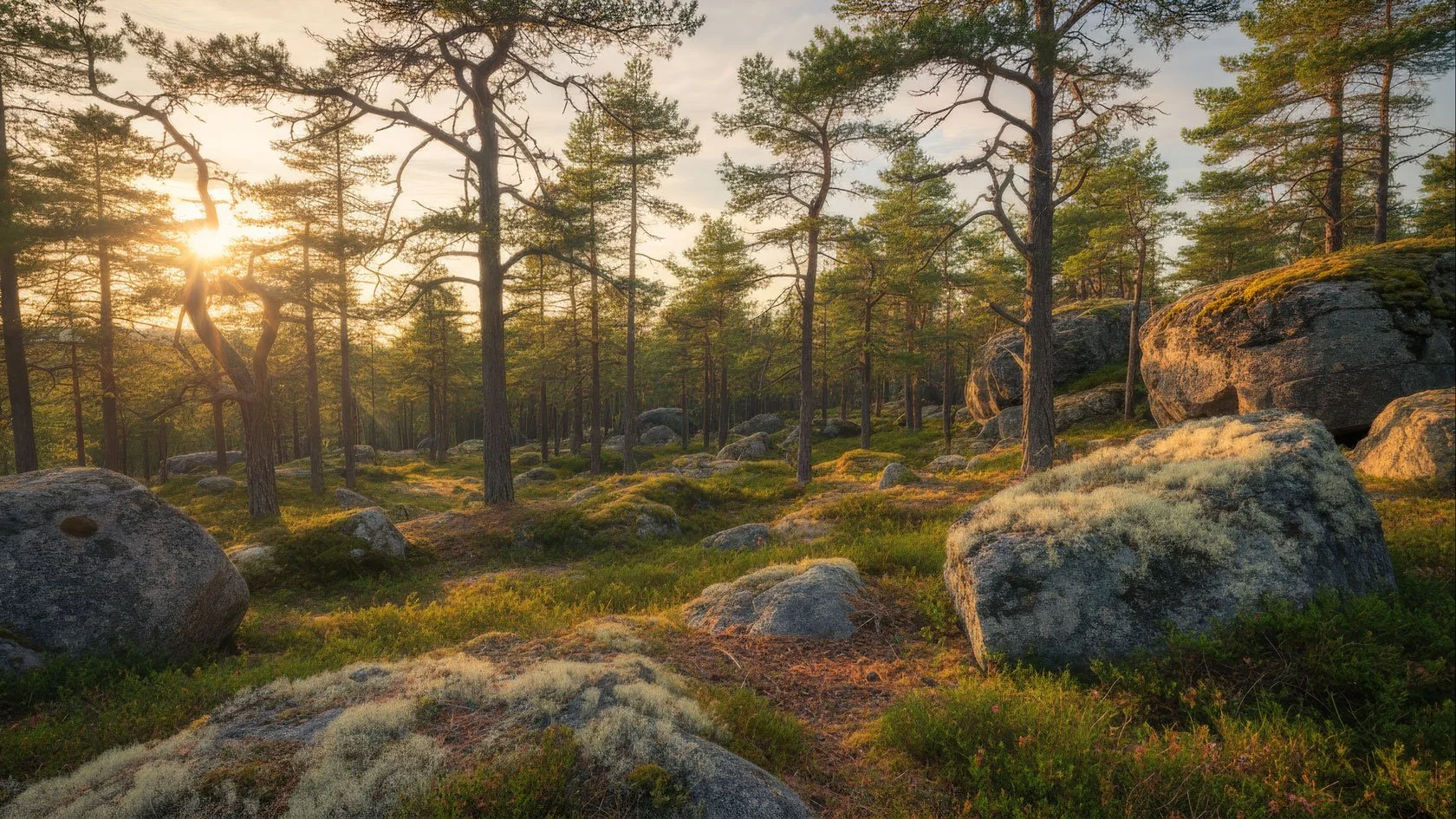
But if you’re planning the Skuleberget / Skuleskogen heart of the trail, there’s another approach that often makes the whole itinerary easier:
Choose a small Base Camp close to the trail, and build your days from there — with one quiet recovery night that gives you margin.
It’s especially useful if you’re hiking the trail in sections, building a 2–4 day itinerary, or simply want one night that resets your body before/after Skuleberget.
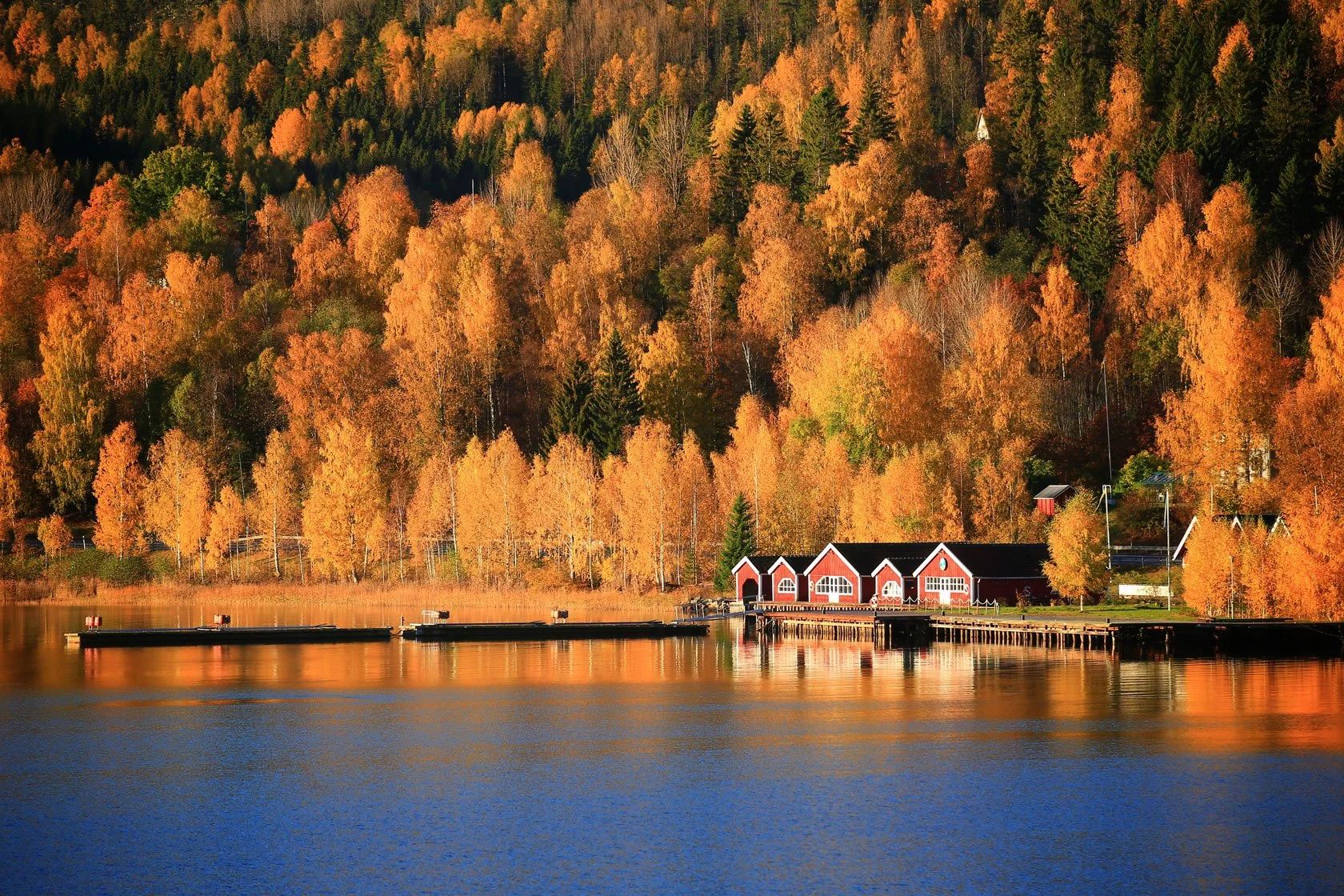
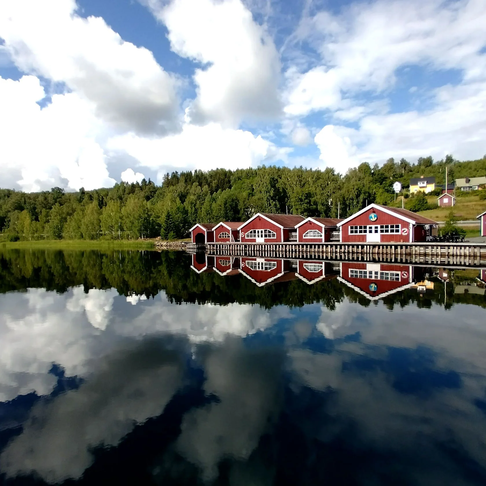
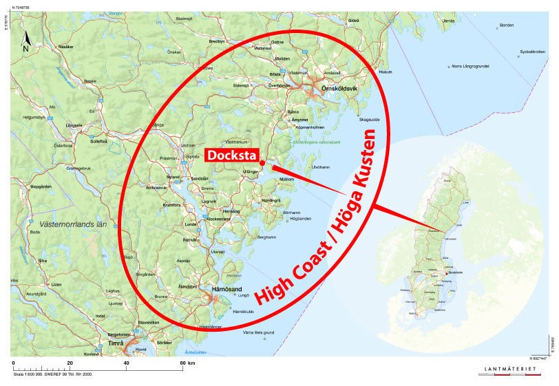
Docksta is one of the most practical places for that, because it sits right by the E4 and close to Skuleberget — and it connects well to transport, services, and short day routes.
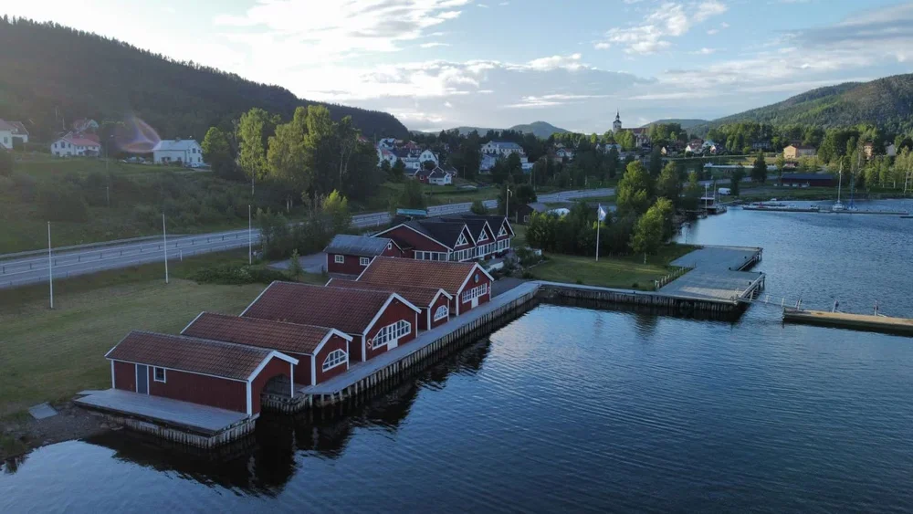
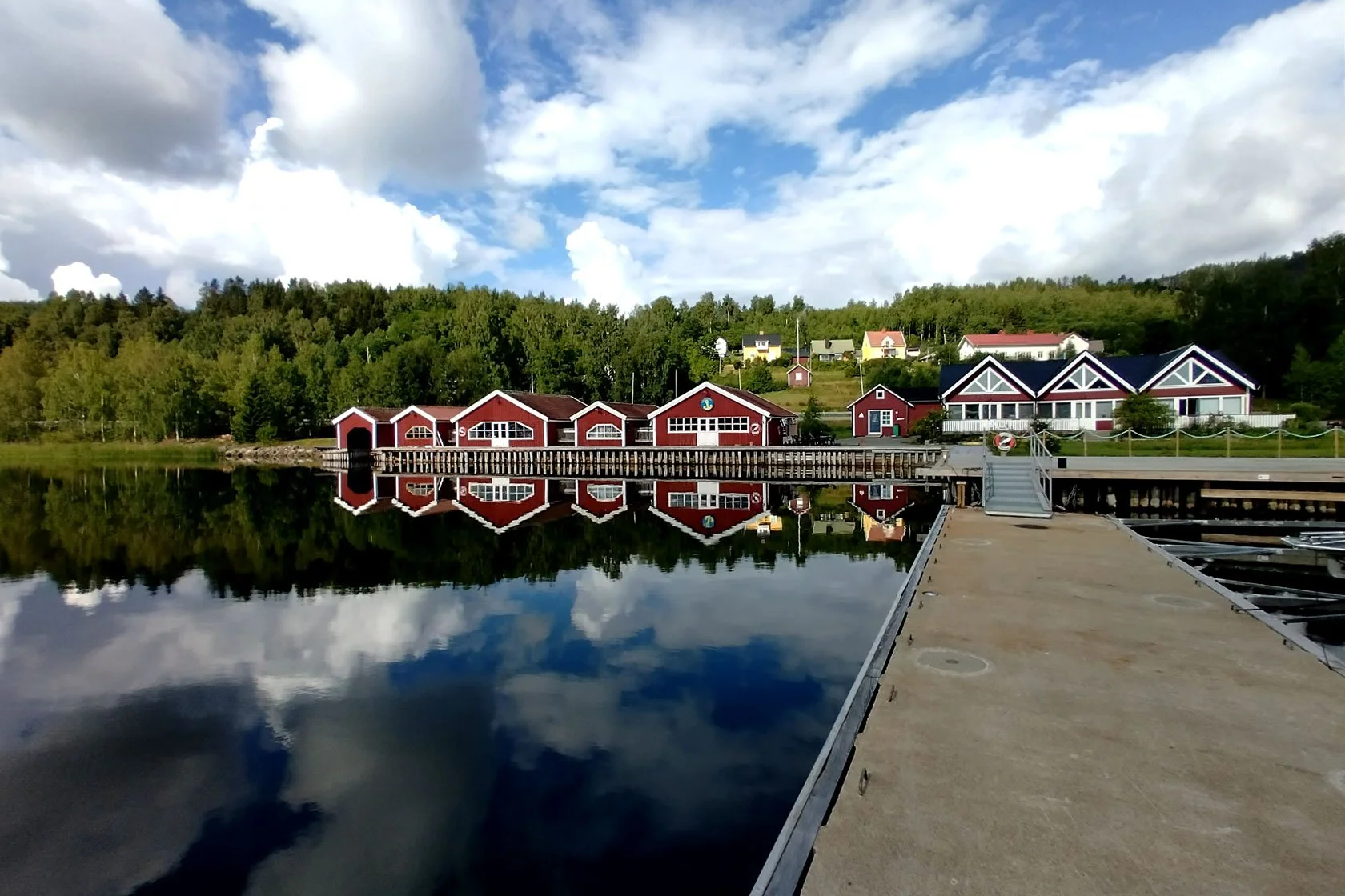
Docksta Havet Base Camp is a small marina and waterfront stay in Docksta. Even if you’re not a sailor, it works well when you want:
A recovery night that actually restores you (shower, sleep, calm water, no rush)
A buffer for weather and legs (so your plan doesn’t collapse if conditions change)
Simple logistics (easy access in/out, and a good “reset point” if you’re hiking the trail in parts)
Local guidance (we help you choose the next day based on weather, daylight, and your real energy — not just a headline number)
If you’re building your own 2–4 day version of Höga Kustenleden, Docksta is often the point where the plan becomes simpler.
Want help planning the Skuleberget / Skuleskogen days? Send us a message — we’ll suggest a realistic next step from where you are.


Message me (WhatsApp +46.763136909) for stage logic near Skuleberget
Suggested “read next” resources from our Docksta Havet blog

If you want planning that goes beyond the headline distance, these posts help you build a real itinerary around the Skuleberget / Skuleskogen heart of the trail:
Start Here: High Coast Day Trips from Docksta (our hub post for building days from a base camp)
Skuleskogen National Park day hike itinerary (logistics + loop ideas)
🇬🇧 English: https://dockstahavet.se/blog/skuleskogen-national-park-day-hike-itinerary
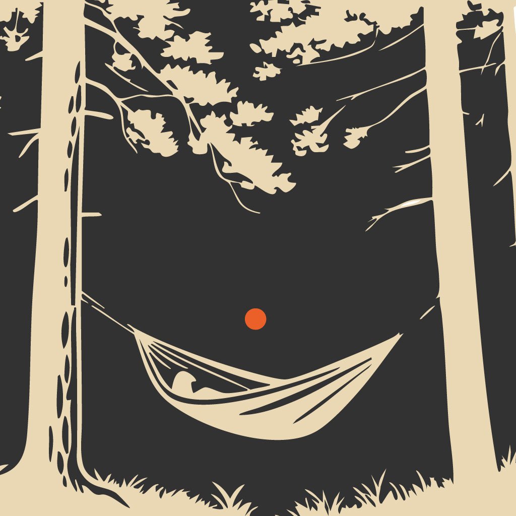
🇩🇪 Deutsch: https://dockstahavet.se/blog/de/skuleskogen-nationalpark-hochkuste-tagestourForest Pause in the High Coast (Skogspaus-style recovery day: the “why” of slowing down)
https://dockstahavet.se/blog-index/forest-pause-experience-hoga-kusten
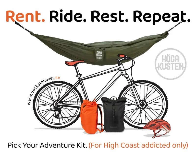
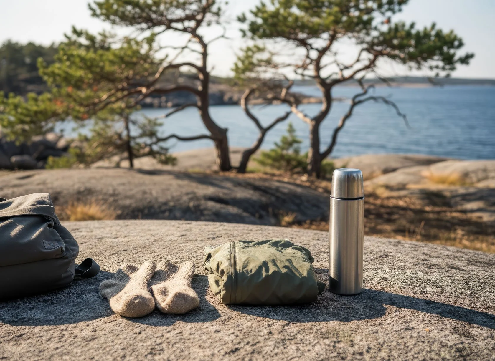
Grab&Go / Outdoor Ready rental posts (for hikers who want to travel lighter)
Final note: plan for the trail you’ll actually walk
If your plan is based on one perfect number, it will break the first time it rains, the first time you stop for a swim, or the first time you take a detour to a viewpoint.
Plan by day capacity. Keep a buffer. Use official links. And give yourself at least one night where the only goal is to recover well.
If you’re passing Skuleberget and want a simple waterfront stop in Docksta, send us a message — we’ll help you choose the next day like a local.
And if the forecast turns: here are real rainy-day options in Höga Kusten >
🇸🇪 Svenska:
Höga Kustenleden anges ofta som 135 km (9 sektioner) eller 140 km (7 etapper) — båda kan stämma. Planera efter daglig kapacitet (tid på fötterna + marginal), inte efter en enda “perfekt” siffra.
Nära Skuleberget kan en lugn bas i Docksta (vattennära boende + enkel logistik) göra planeringen enklare.
🇫🇮 Suomi:
Höga Kustenledenin pituus näkyy usein kahtena lukuna: 135 km (9 osuutta) tai 140 km (7 etappia) — molemmat voivat olla “oikein”. Suunnittele päiväkapasiteetin mukaan (aika liikkeessä + varamarginaali), ei yhden tarkan kilometriluvun varaan.
Skulebergetin alueella rauhallinen tukikohta Dockstassa (meren äärellä + helppo logistiikka) voi helpottaa reitin rytmittämistä.
🇩🇪 Deutsch:
Zur Höga Kustenleden (High Coast Trail) findet man oft 135 km (9 Abschnitte) oder 140 km (7 Etappen) — beides kann stimmen. Plane nach Tageskapazität (Zeit auf den Beinen + Puffer), nicht nach einer einzigen “perfekten” Zahl.
Rund um Skuleberget kann ein ruhiges Base Camp in Docksta (Wasserlage + einfache Logistik) die Planung deutlich entspannen.

Tommaso De Rosa
See my host profile and message me on Airbnb
After hours on the trail, a good stopover isn’t “doing more” — it’s recovering well. If you’re walking the Höga Kustenleden and want a calm base near Docksta, I’ll help you shape a simple next step: Skuleberget, Skuleskogen, a swim, a quiet evening, and a realistic plan for tomorrow.
CONTACT ME by email or WhatsApp at +46.763136909 with your dates and your pace — I’ll keep it simple and real.
More hiking resources
Here are all my posts for hikers and walkers in the High Coast: