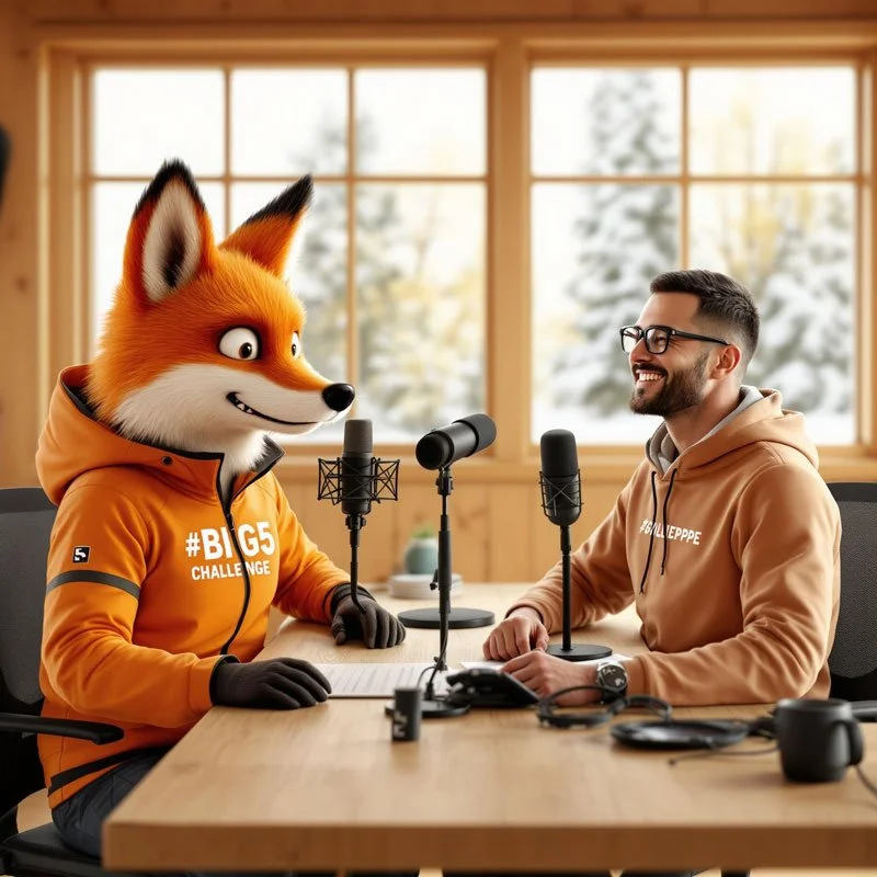
Flow State on Skuleberget: The Secret of the Eagle and Elk Trails

A Forest Guest's Guide to Trail Running Consciousness along two of my favorite segments of Skuleberget Mount.
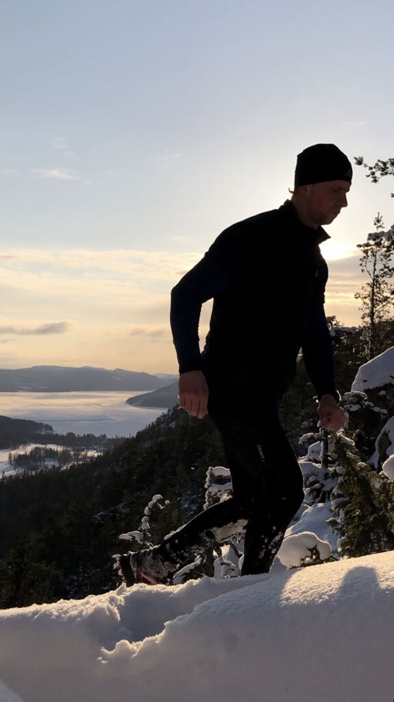
The Mountain speaks first

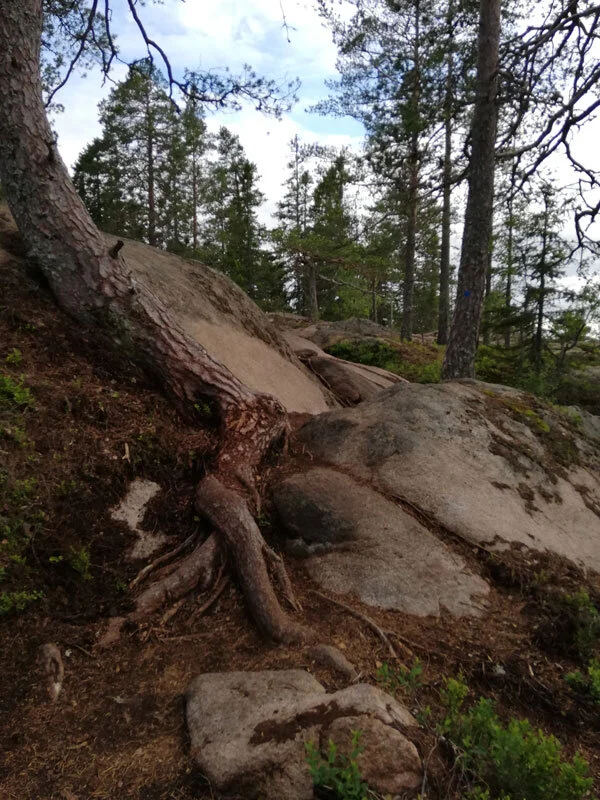
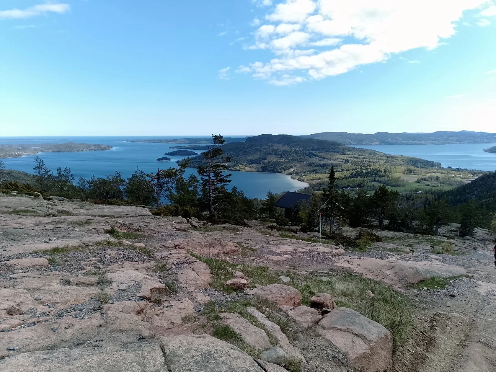
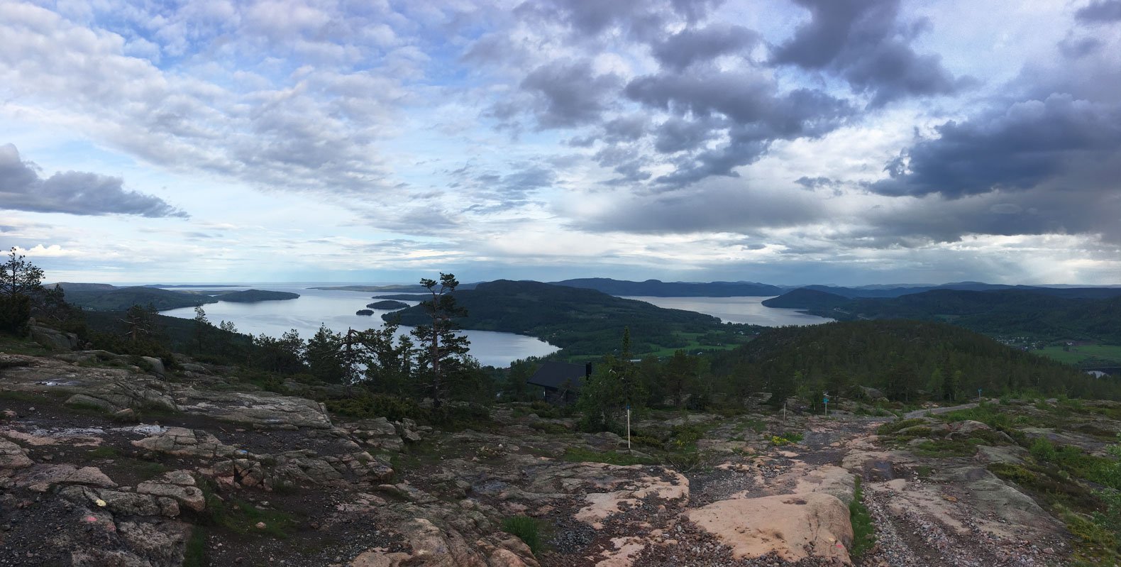
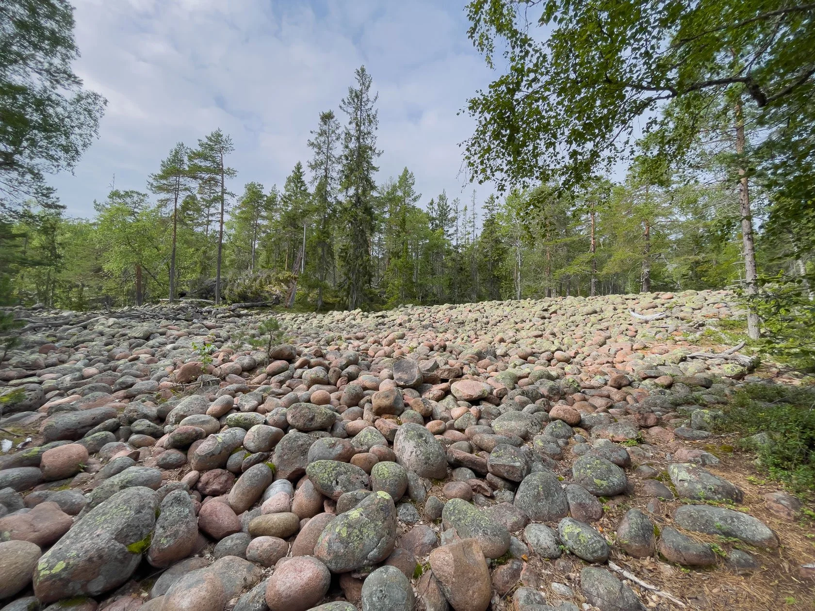
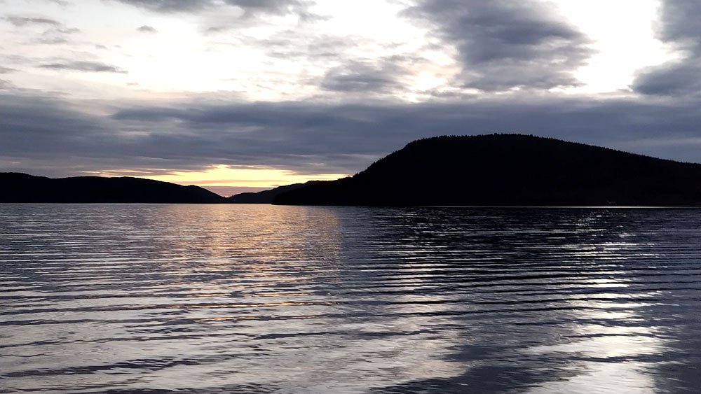
"Before my feet touch the trail, Skuleberget has already been running for millions of years and started emerging from the ice sheet around 10,000 years ago. These ancient rocks of the High Coast—formed during the Svecokarelian orogeny, pushed and folded by tectonic forces—understand movement in a way no GPS ever could.
Standing at 295 meters above sea level, this mountain isn't just geography. It's a living record of geological flow, where stone rivers and glacial movements have carved narratives far more complex than any trail segment. When I run here, I'm not conquering terrain. I'm joining a conversation that began long before I was born."
Tommaso
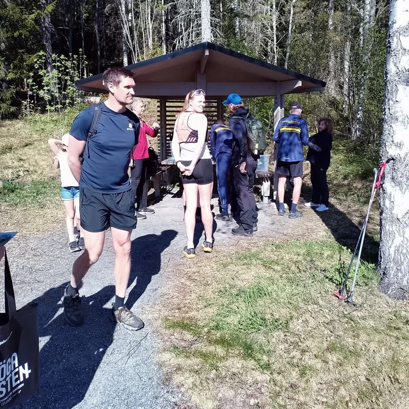
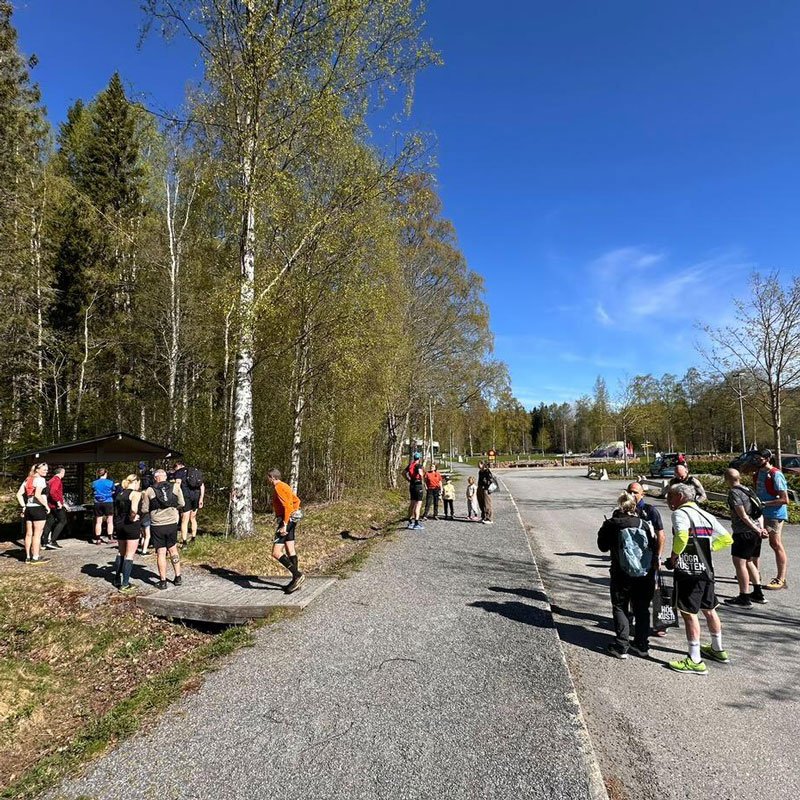
The choice at the base

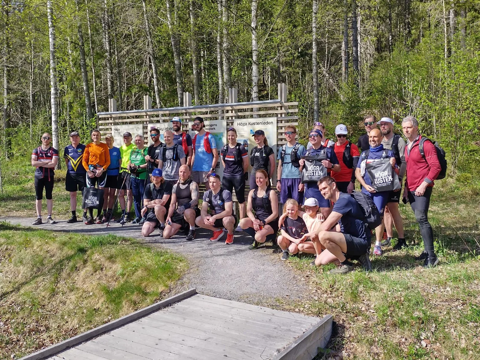
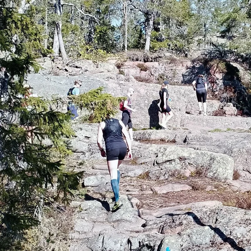
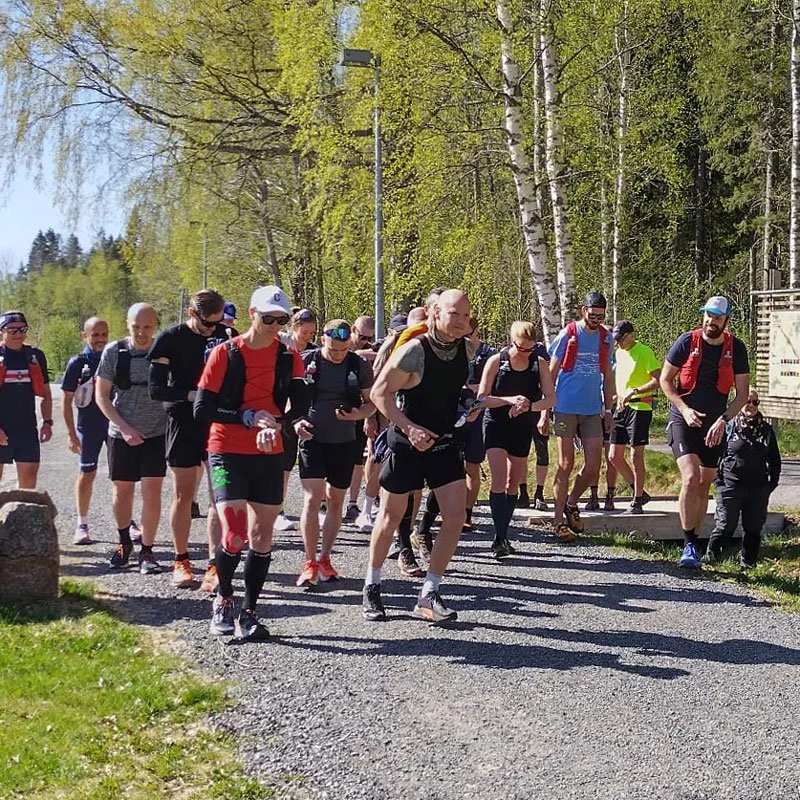
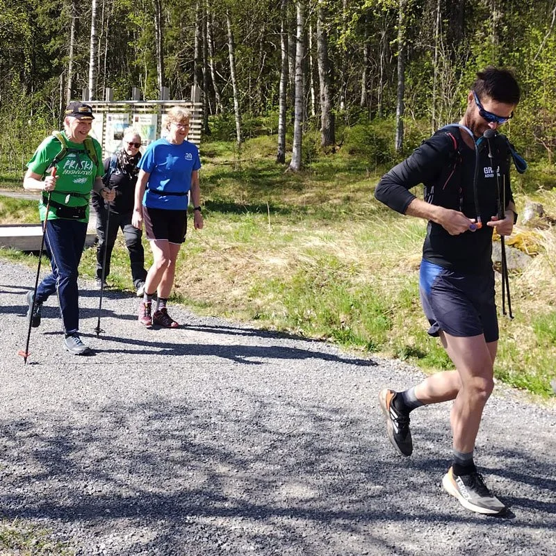
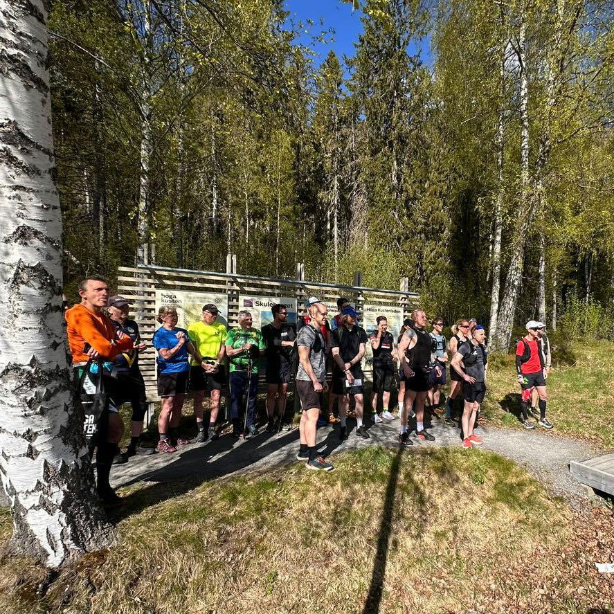
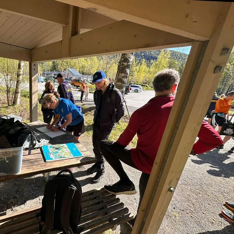
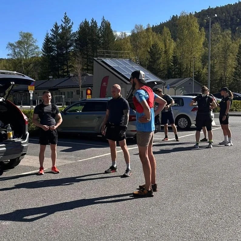
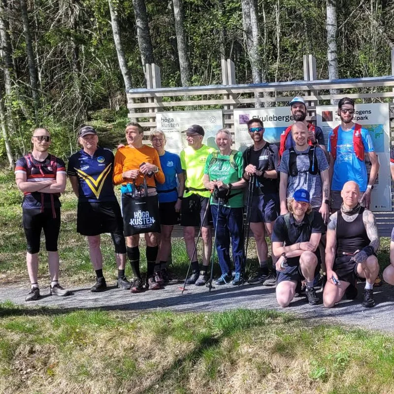
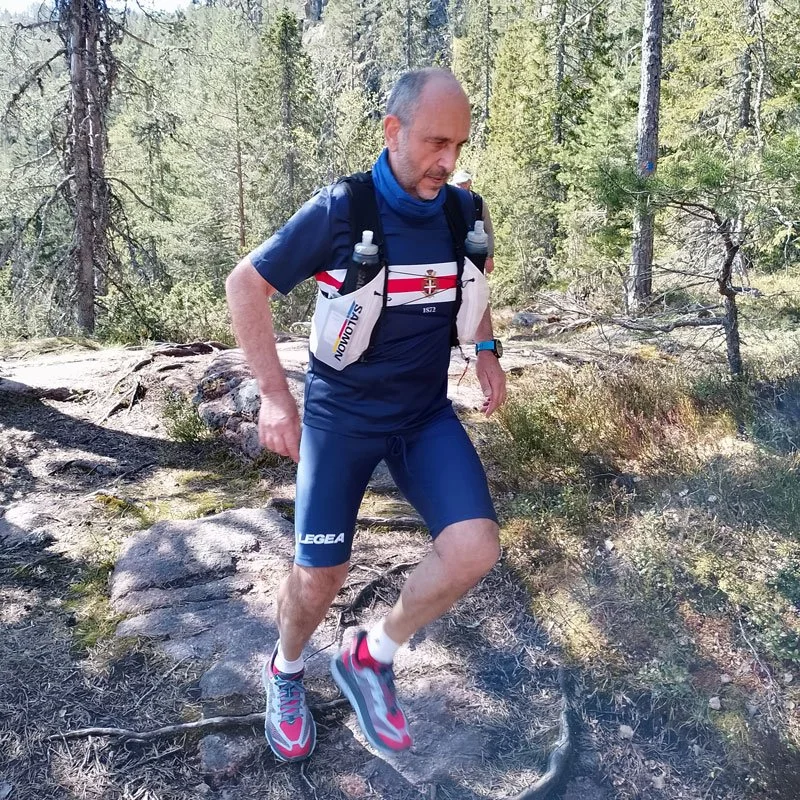
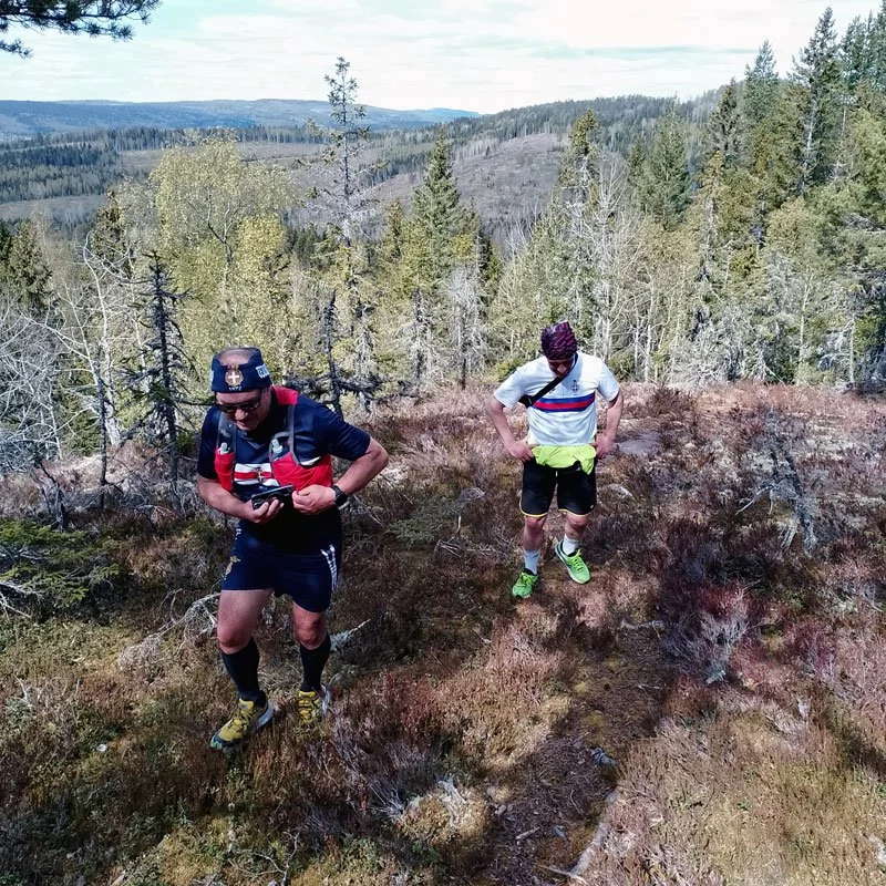
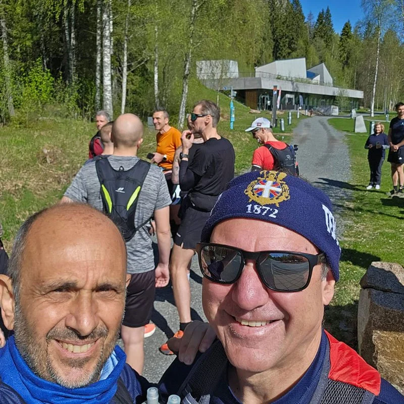
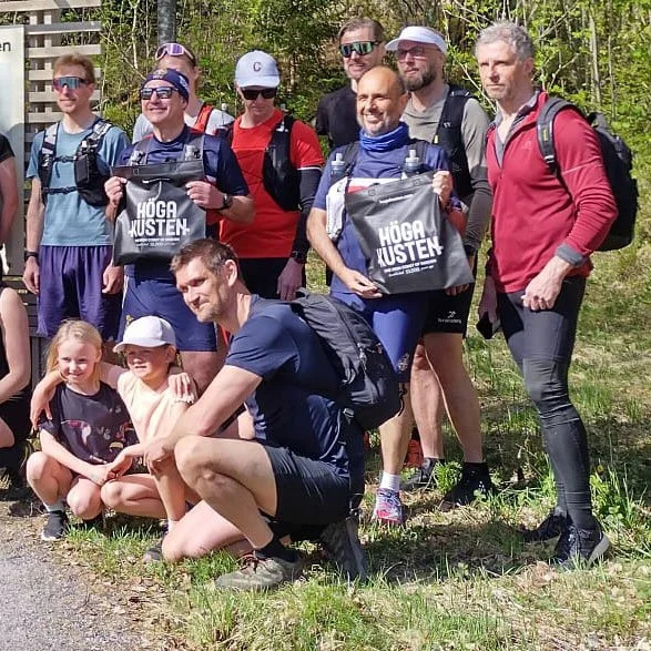
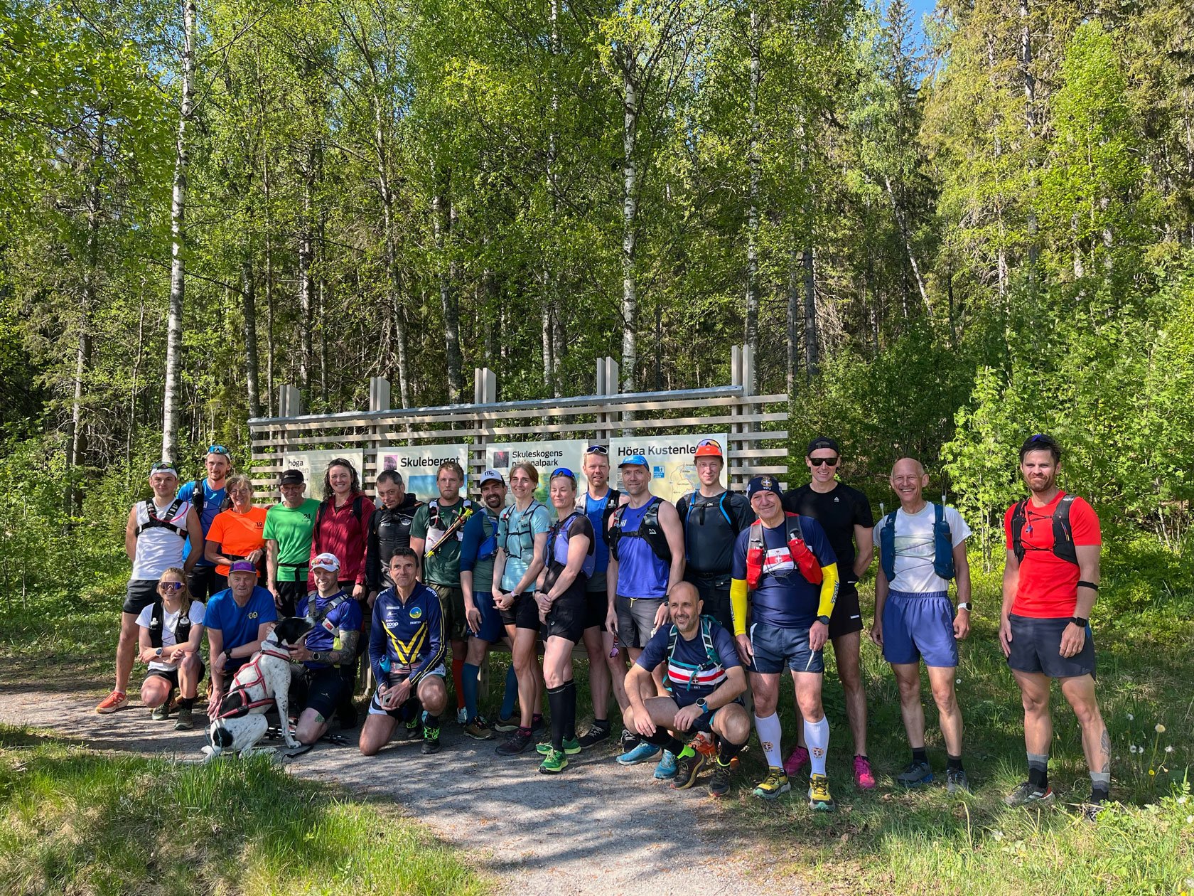
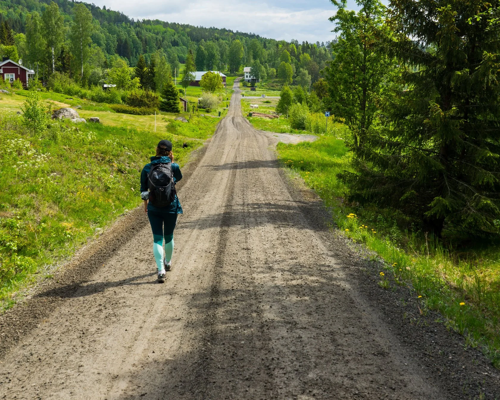
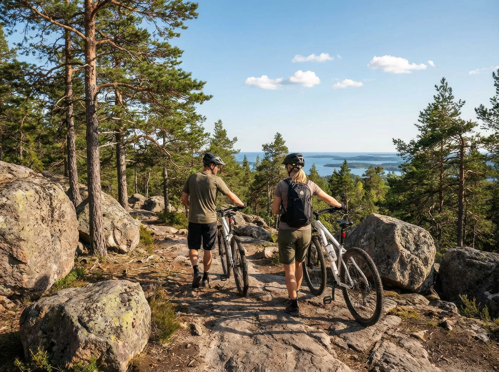
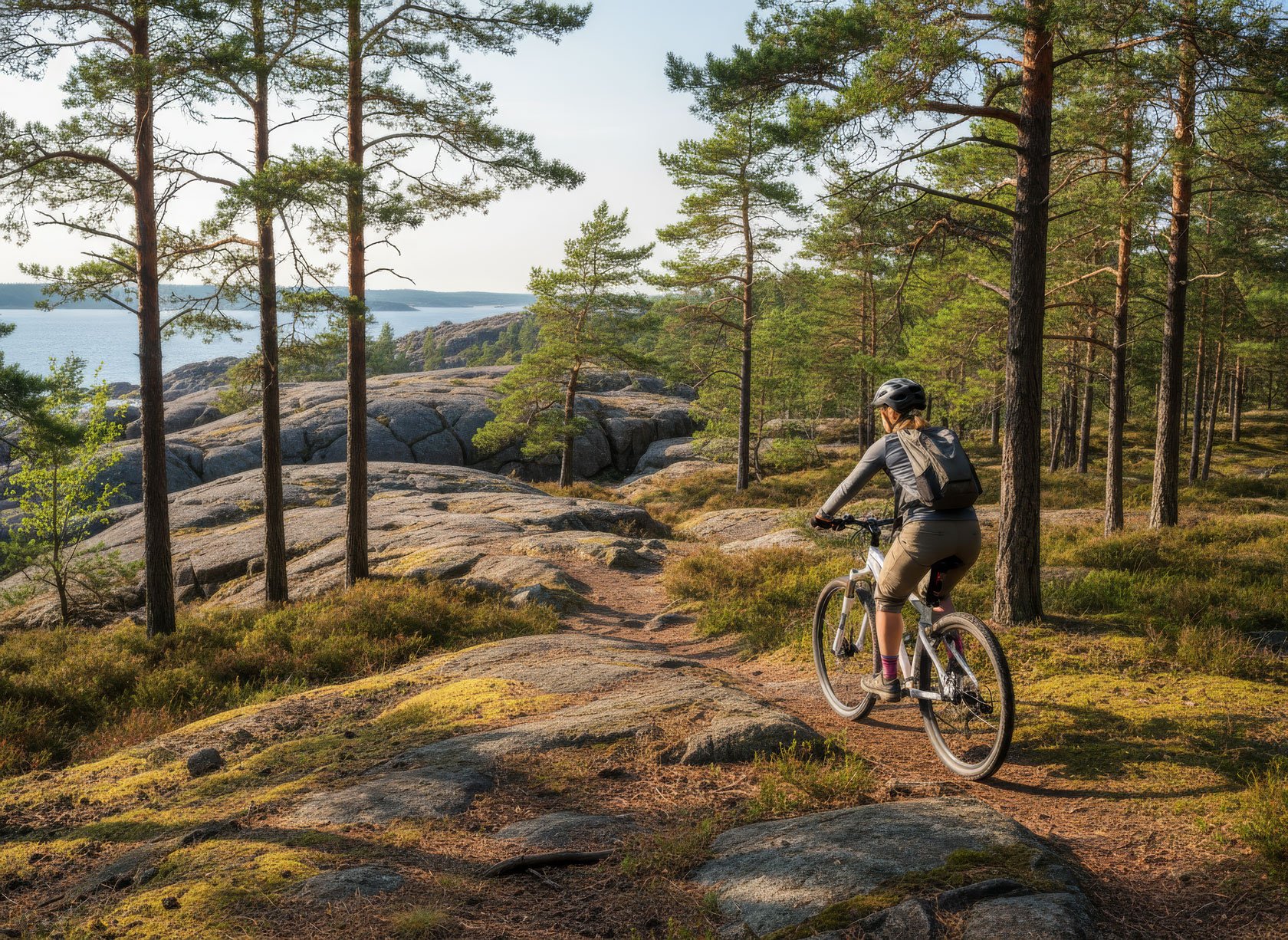
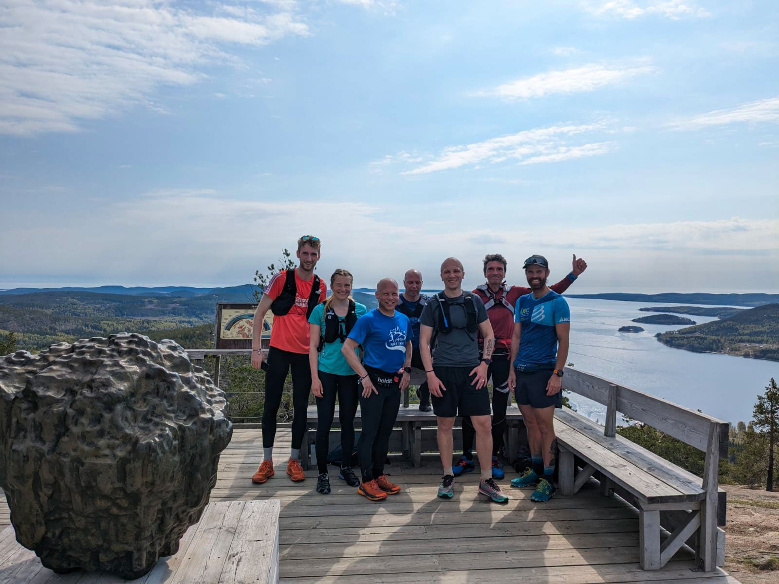
I stand at the base of Skuleberget on a May morning, my legs already humming with anticipation. Around me, other High Coast Runners gather—all grinning, all of us here for the same reason: to run 25 kilometers, climb 1,500 meters of elevation for the #BIG5 Challenge, and discover something about ourselves on this ancient mountain.
But here's what most people don't understand about Skuleberget: it's not about the summit. It's about the choice.
Every serious runner who arrives at Skuleberget faces the same decision: which path will unlock your deepest flow state today?
Approaching the base of the mountain, this isn't a question about difficulty or distance. It's about consciousness itself.
The Mountain speaks in two languages

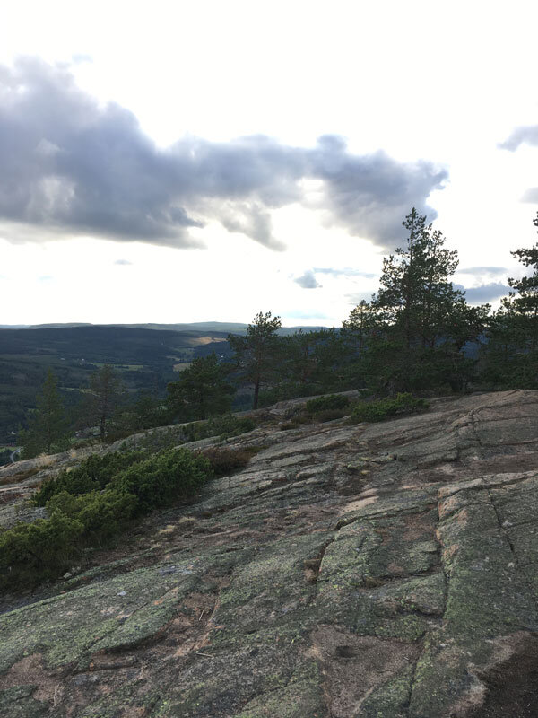
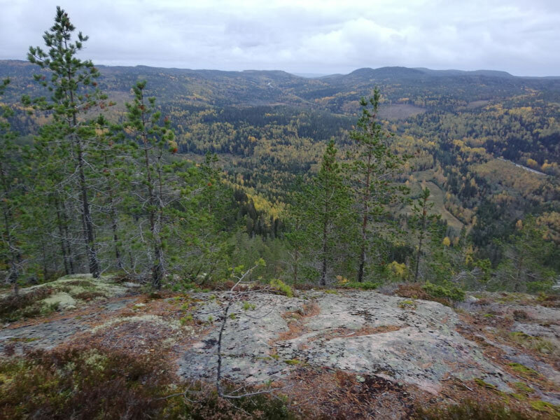
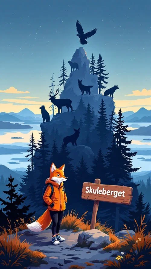
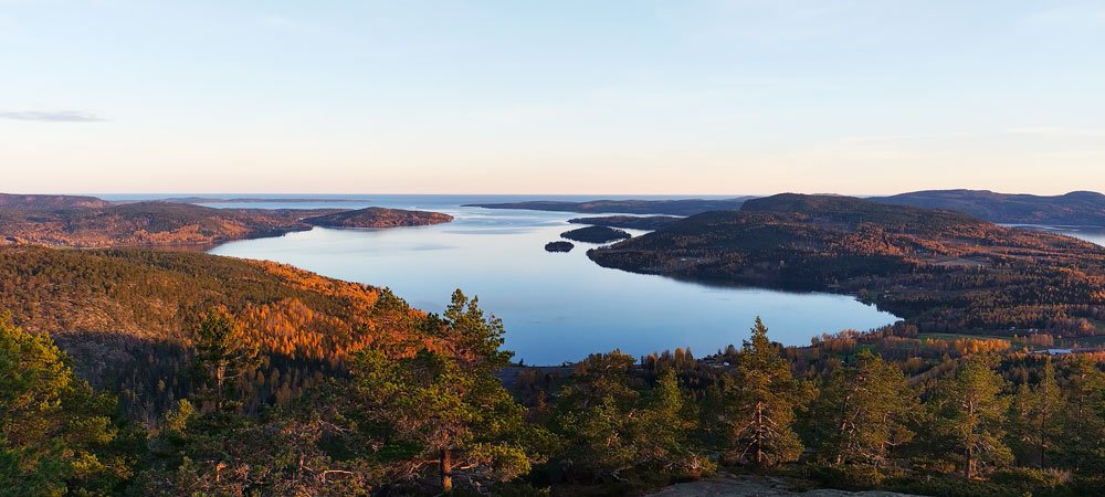
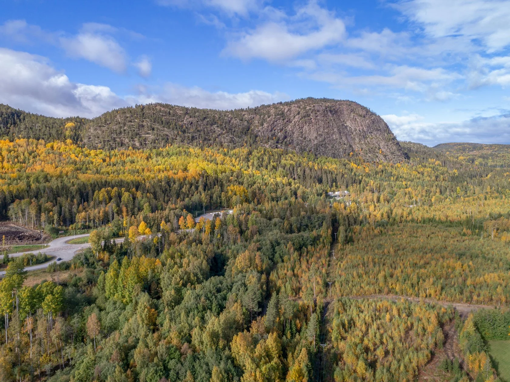
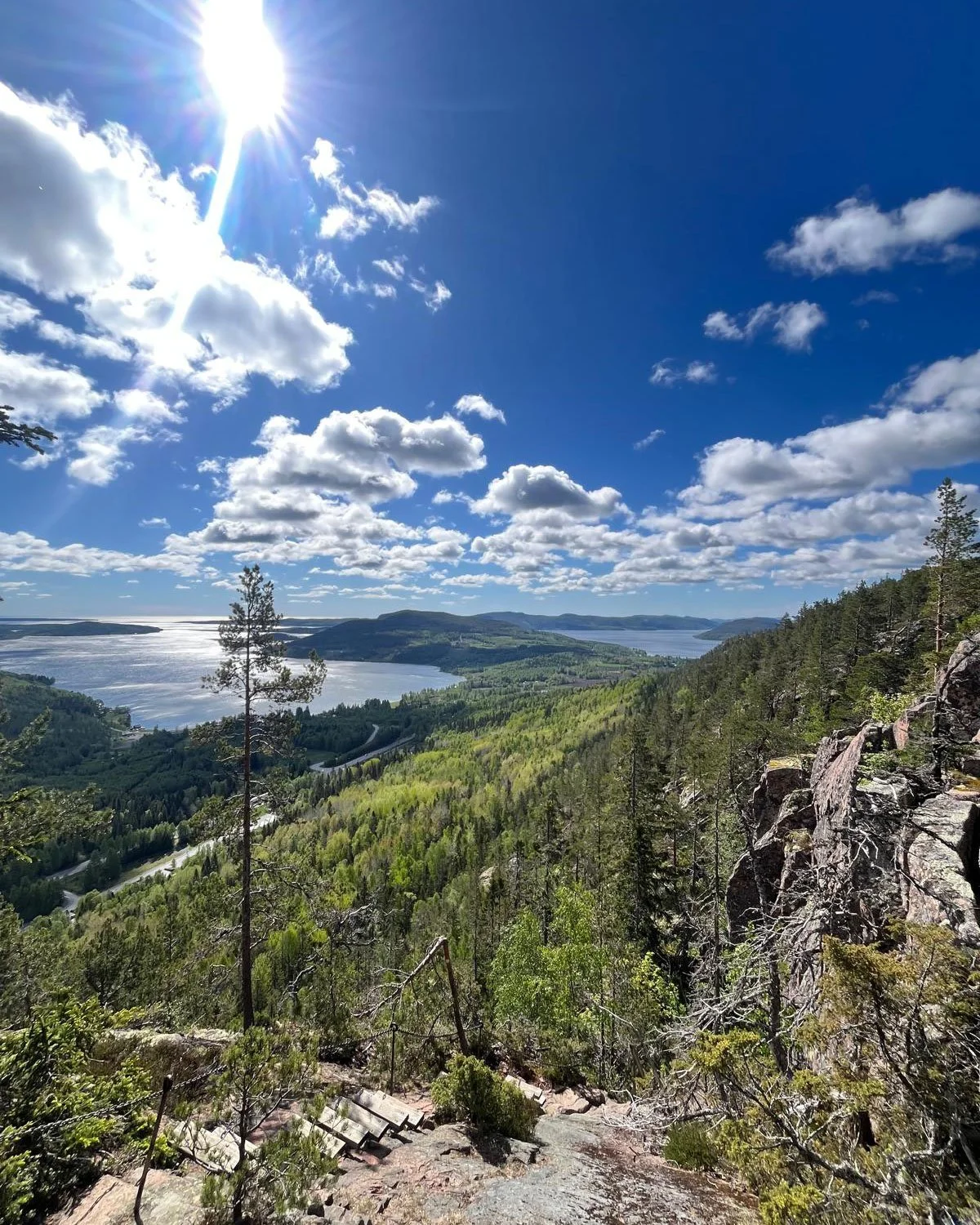
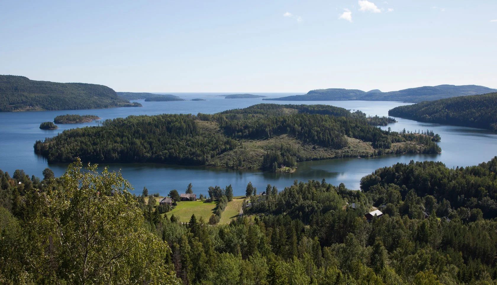
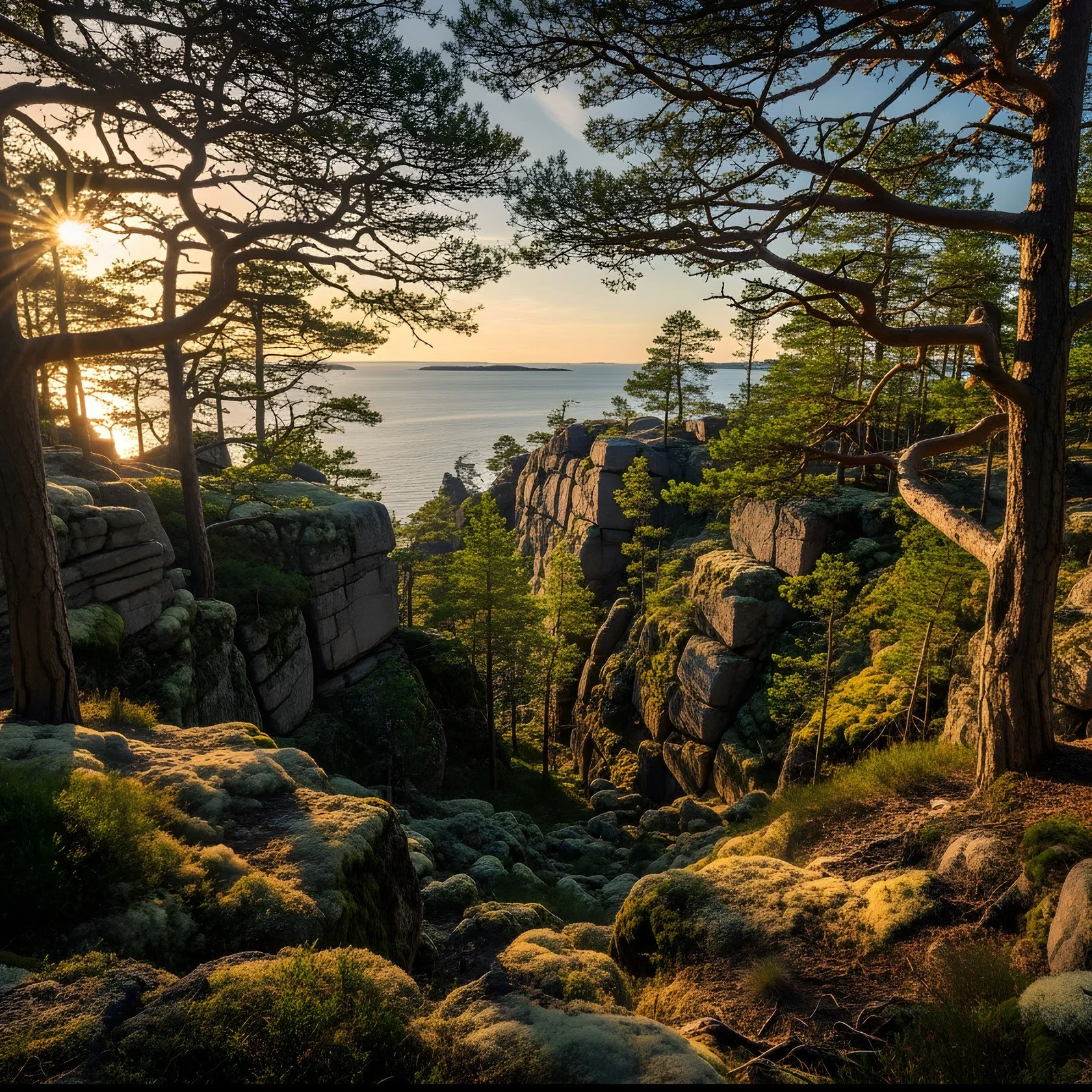
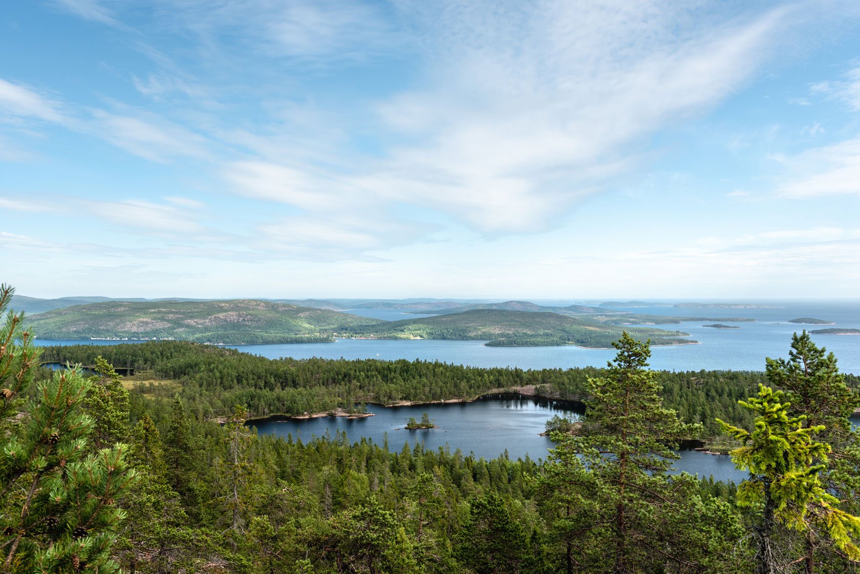
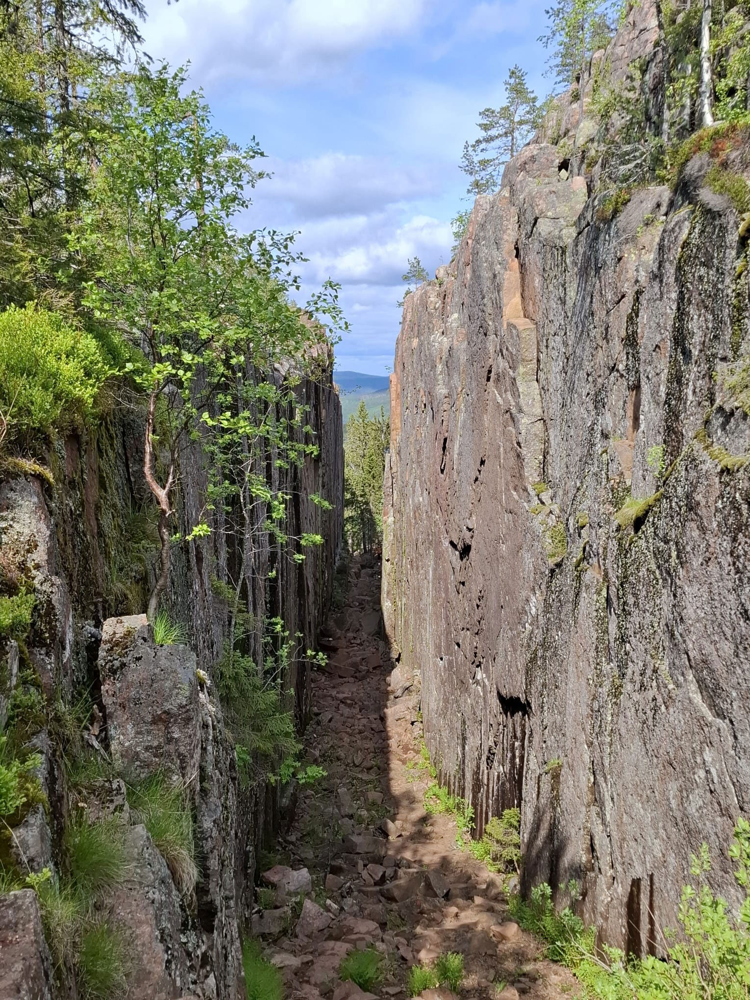
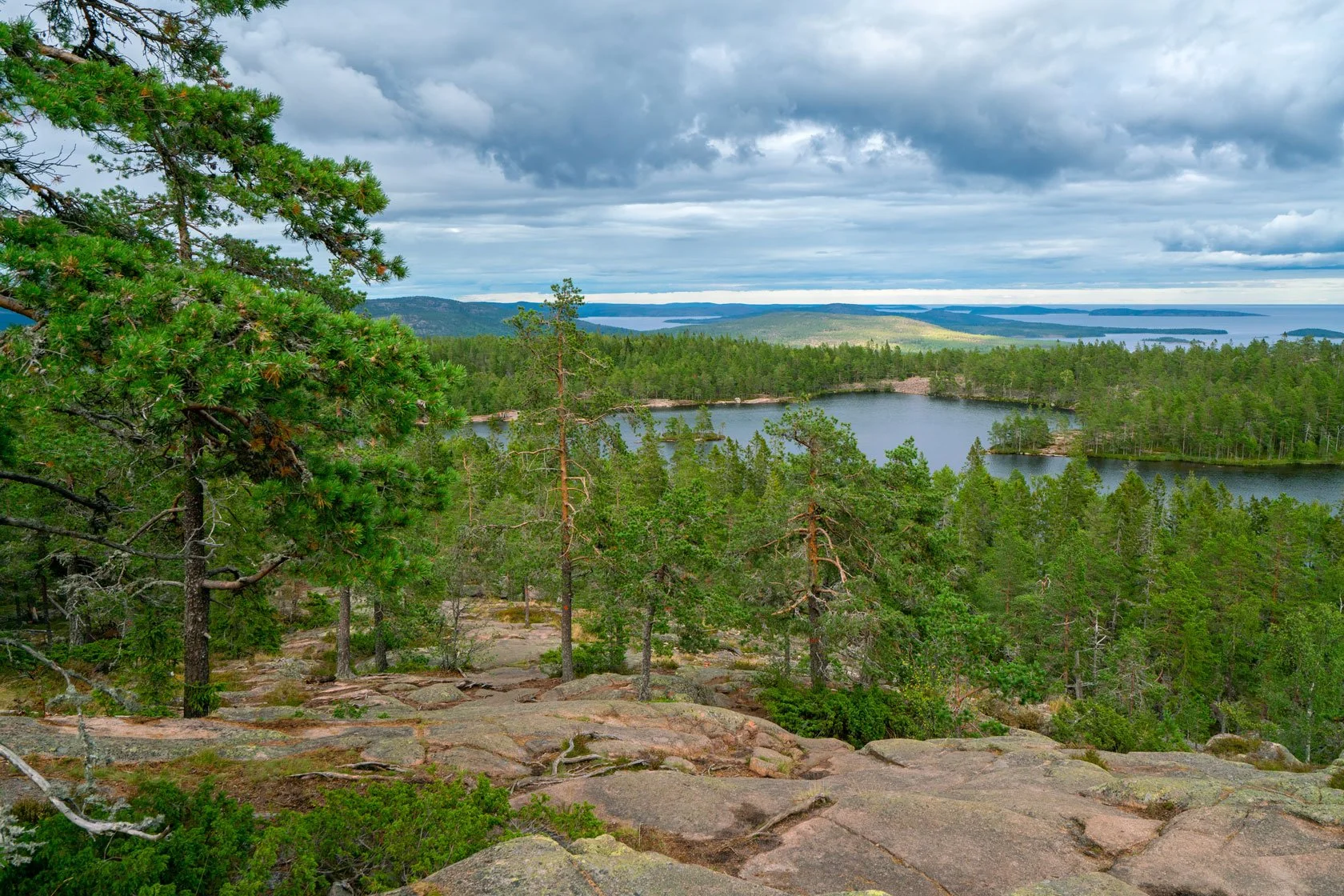
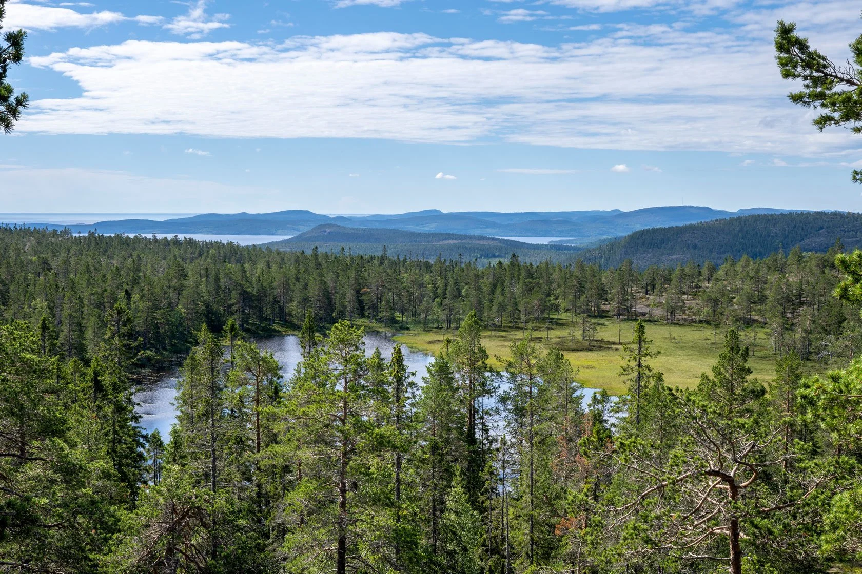
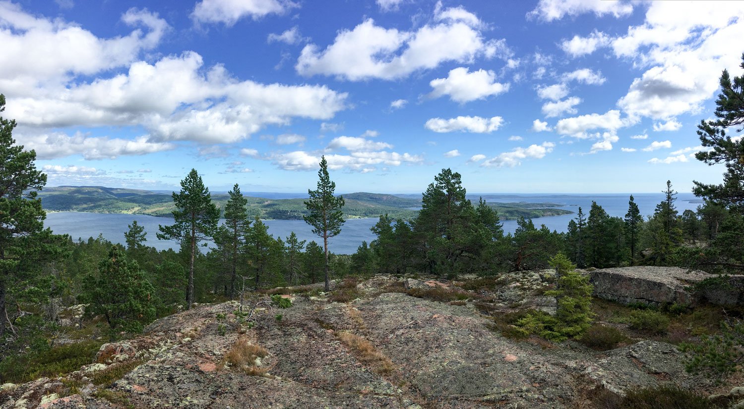
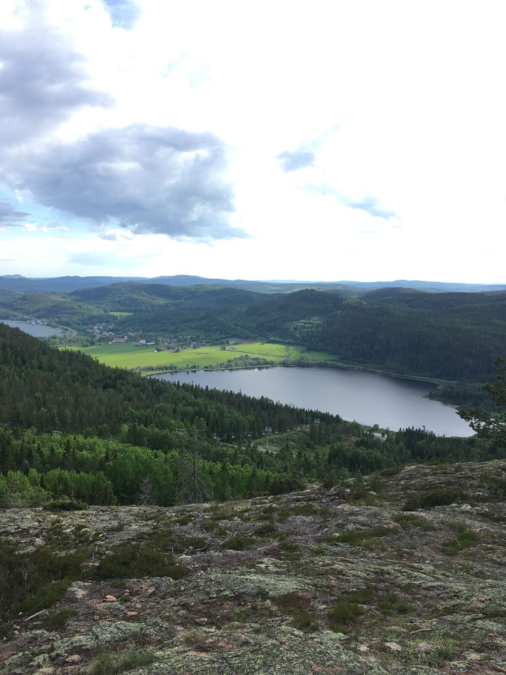
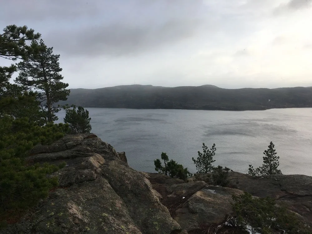
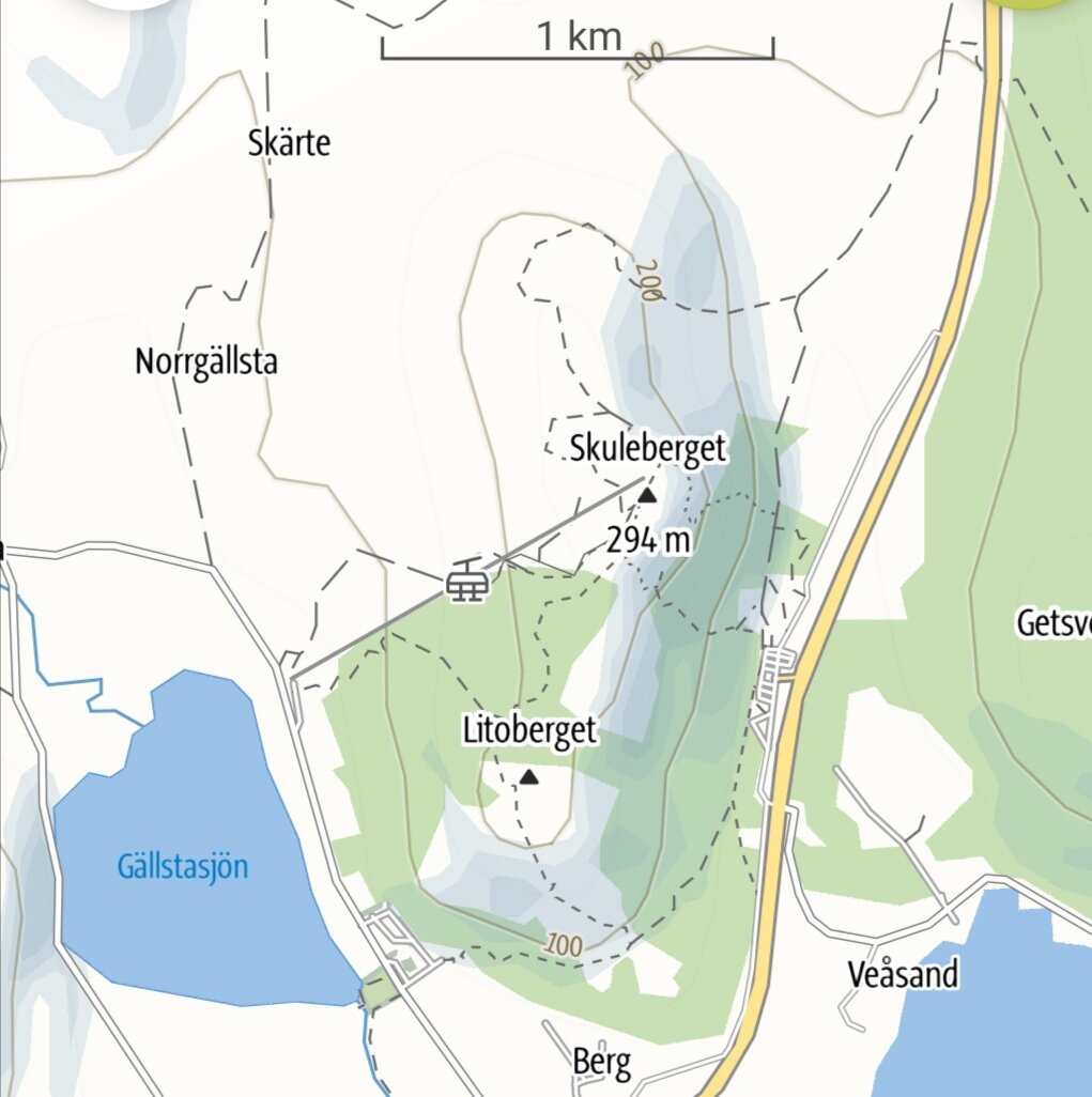
Skuleberget is one of the most iconic spots of this Swedish UNESCO World Heritage site. It's a mountain that has stood here for 900 million years, watching the ice ages come and go, witnessing the slow dance of geological time. And it speaks to runners in two distinct voices.
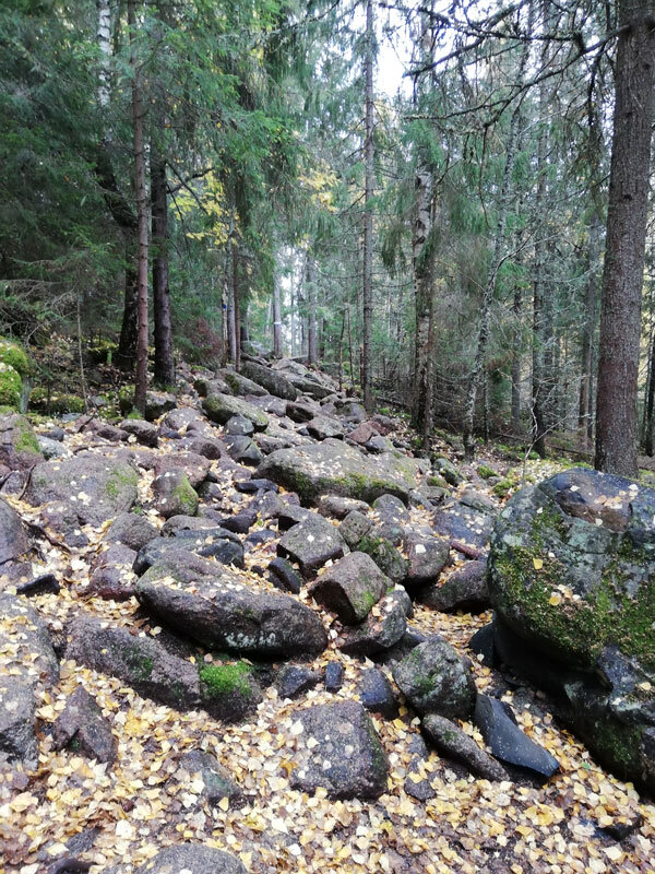
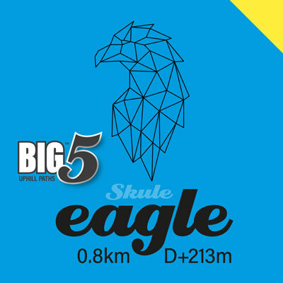
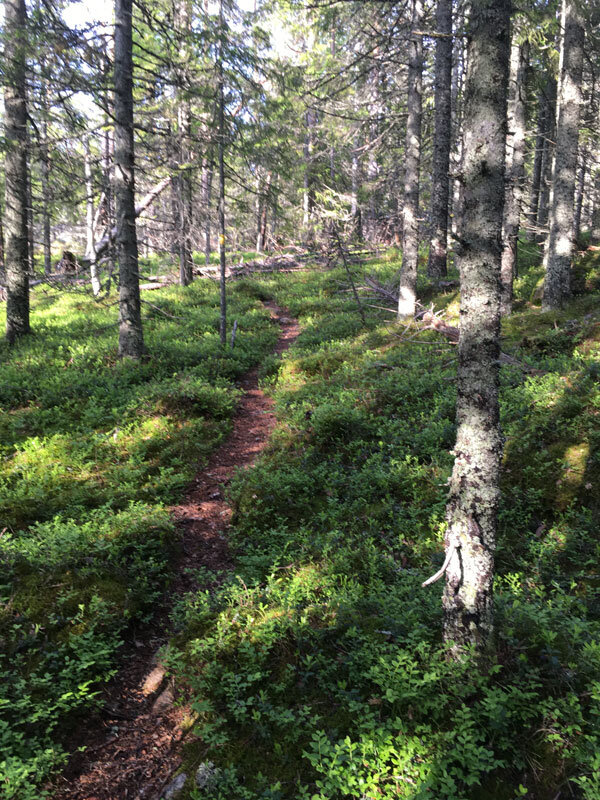
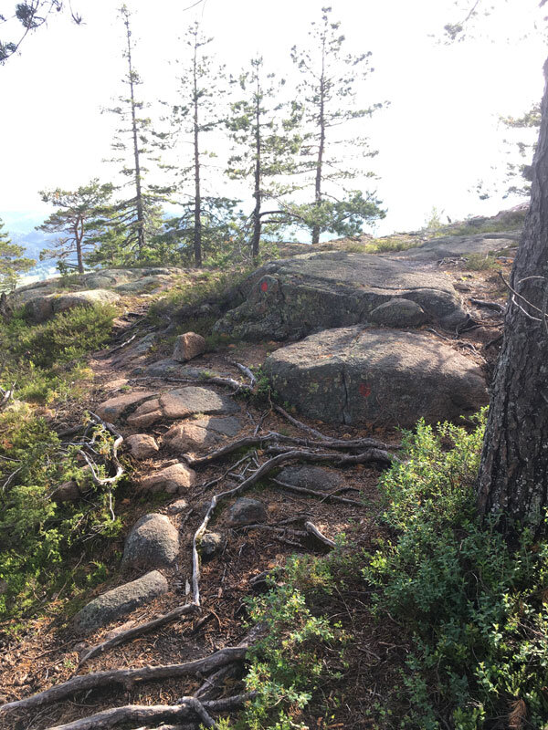
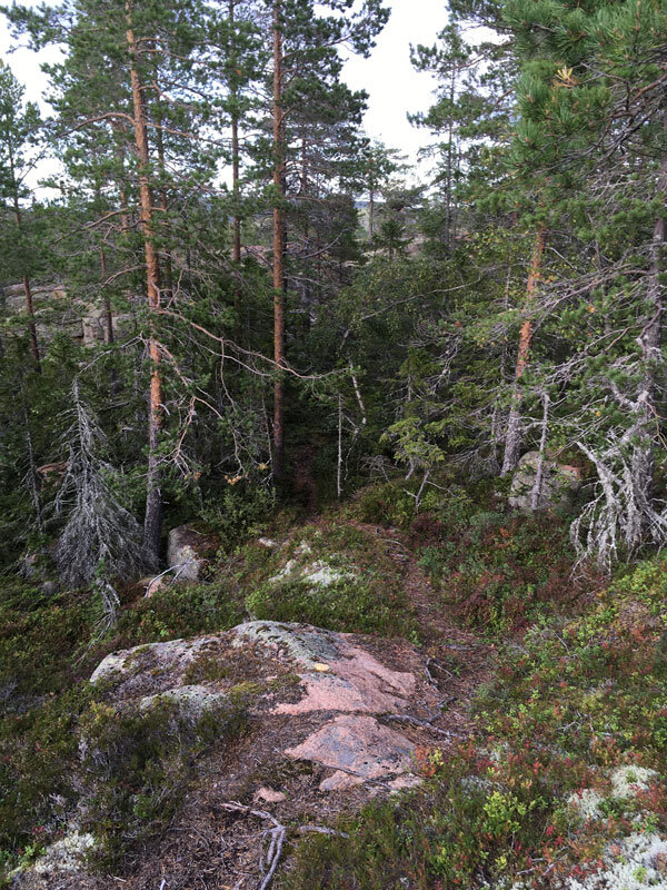
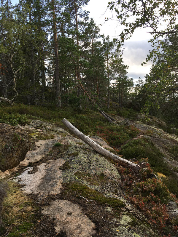
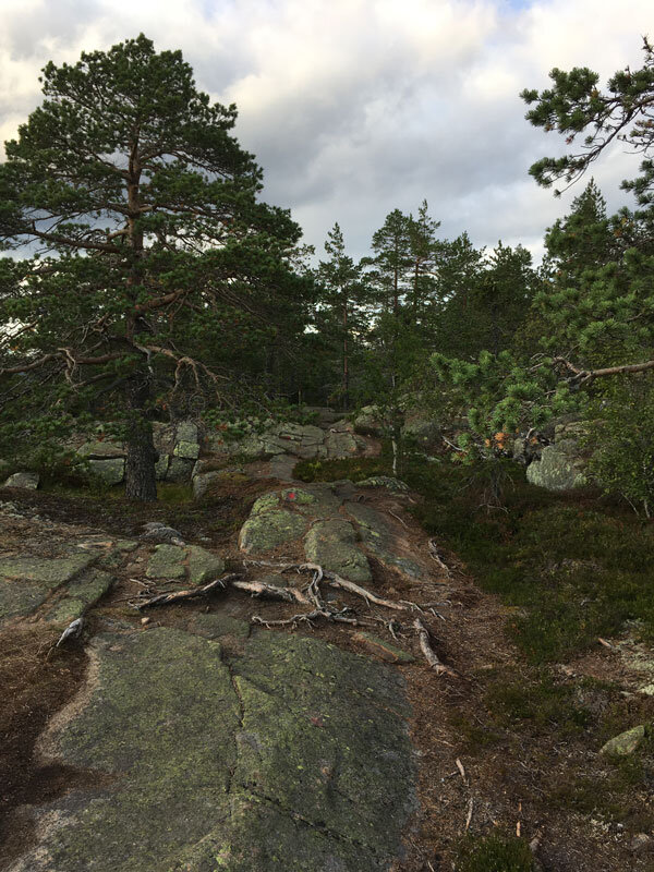
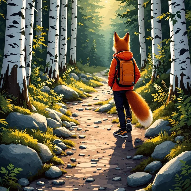
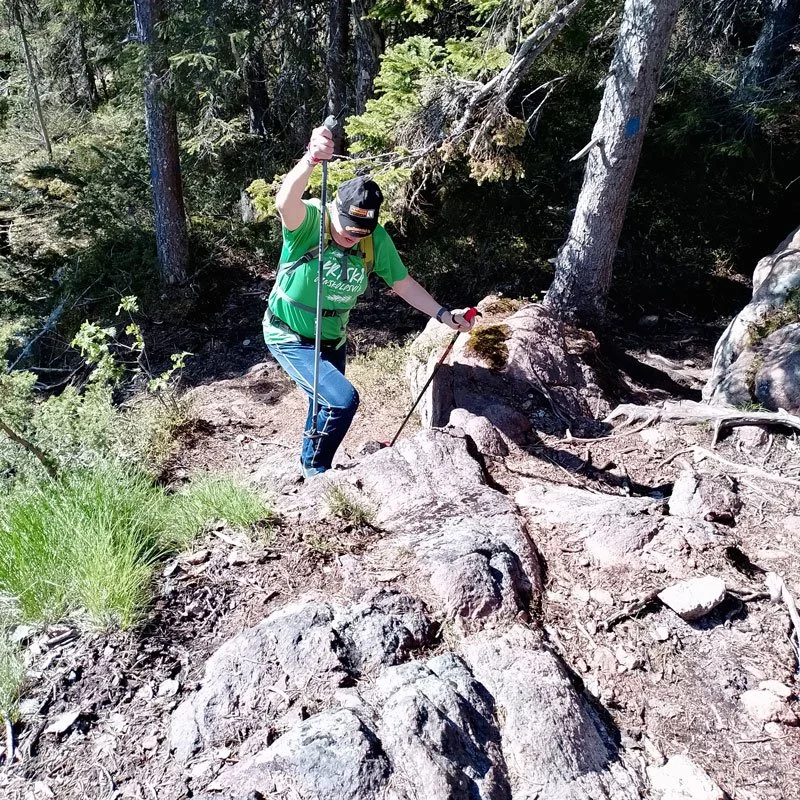
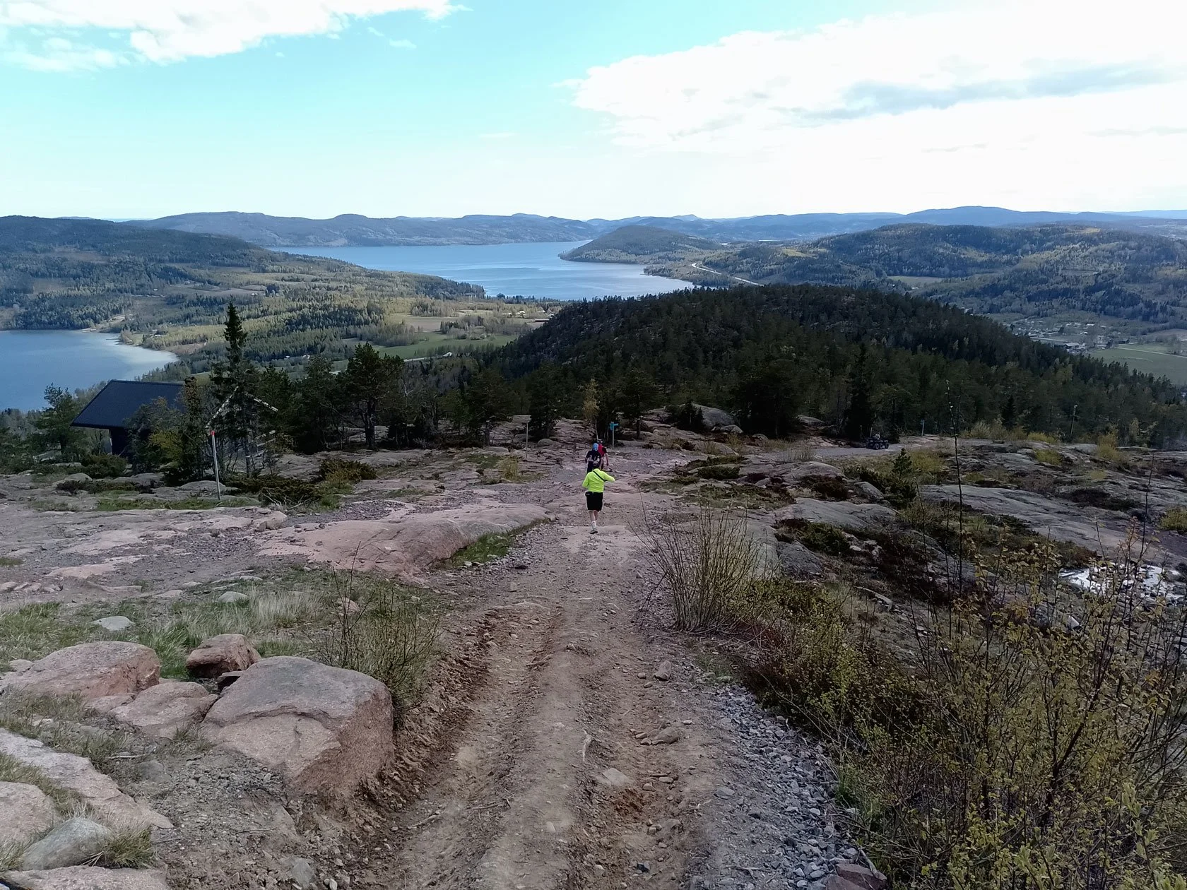
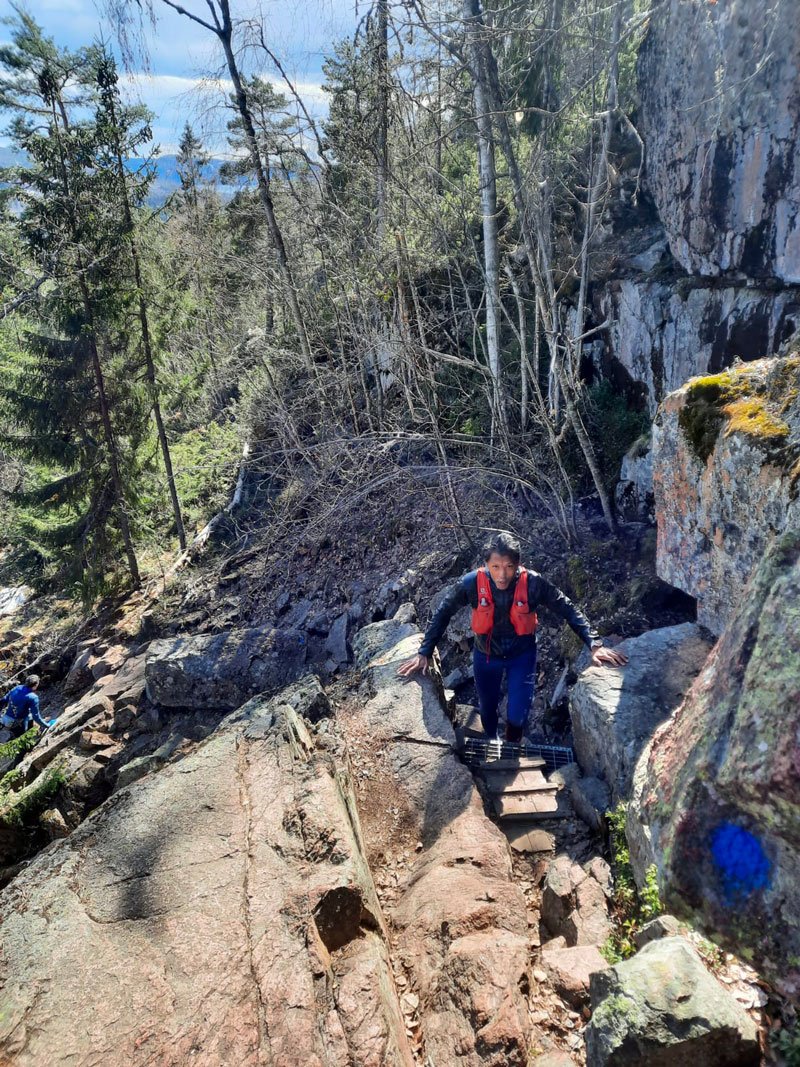
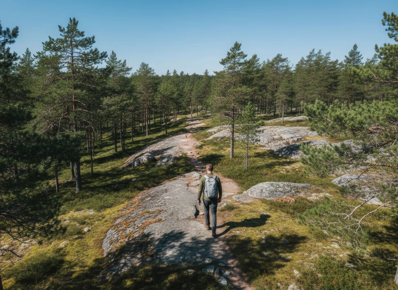
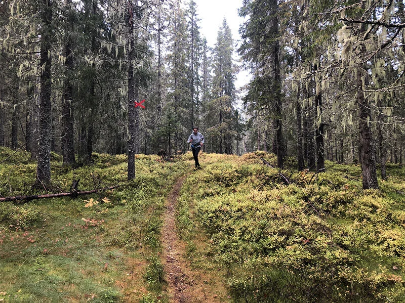
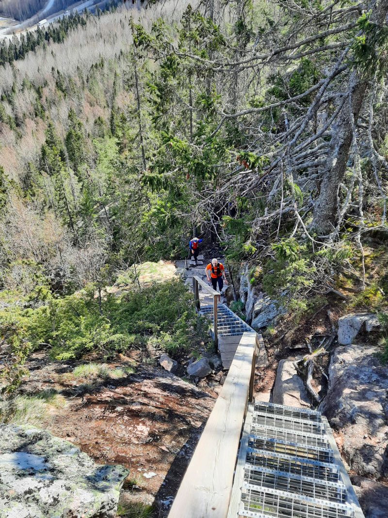
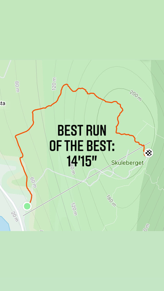
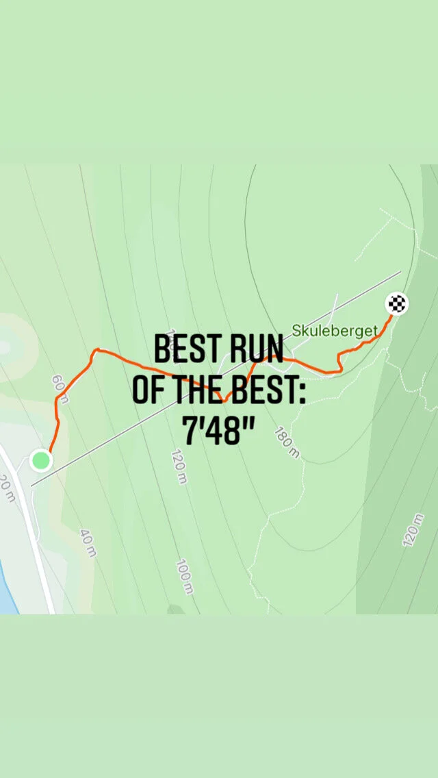
The first voice comes from the Eagle Trail—the direct route. Steep, relentless, demanding. It climbs 300 meters in less than a kilometer. Your heart pounds. Your quads scream. But there's something pure about it: the clarity of effort, the simplicity of suffering and transcendence. This is the path of intensity, of pushing through, of the traditional flow state we've all been taught to chase.
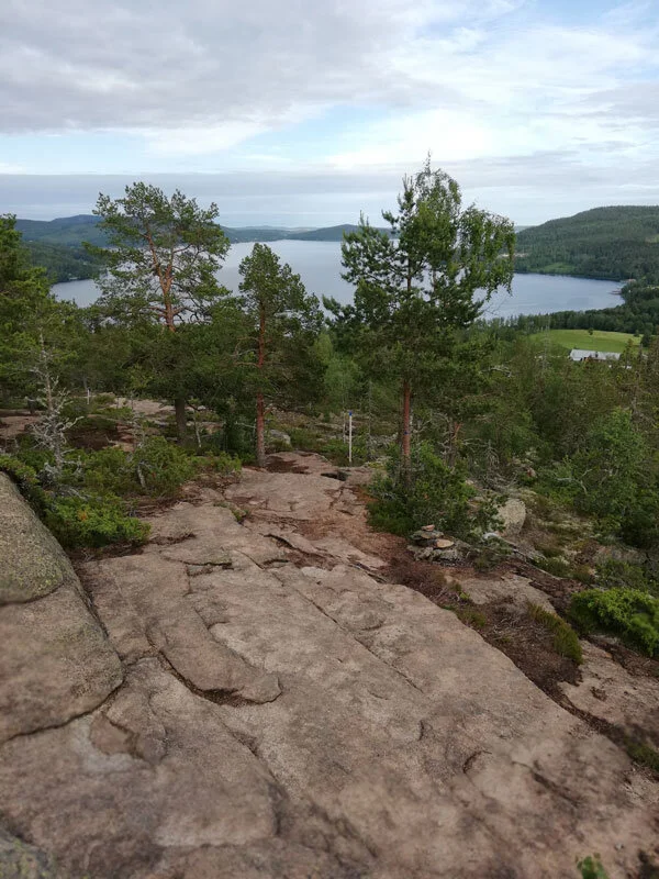
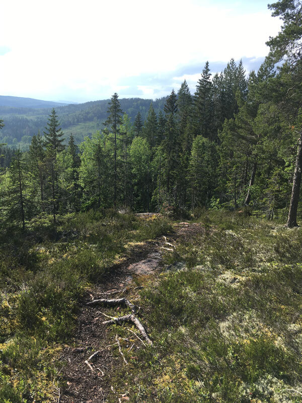
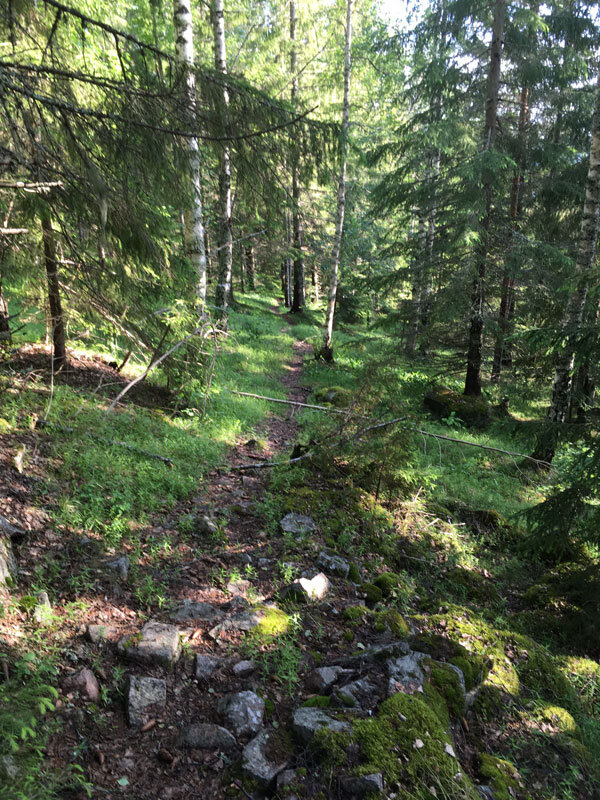
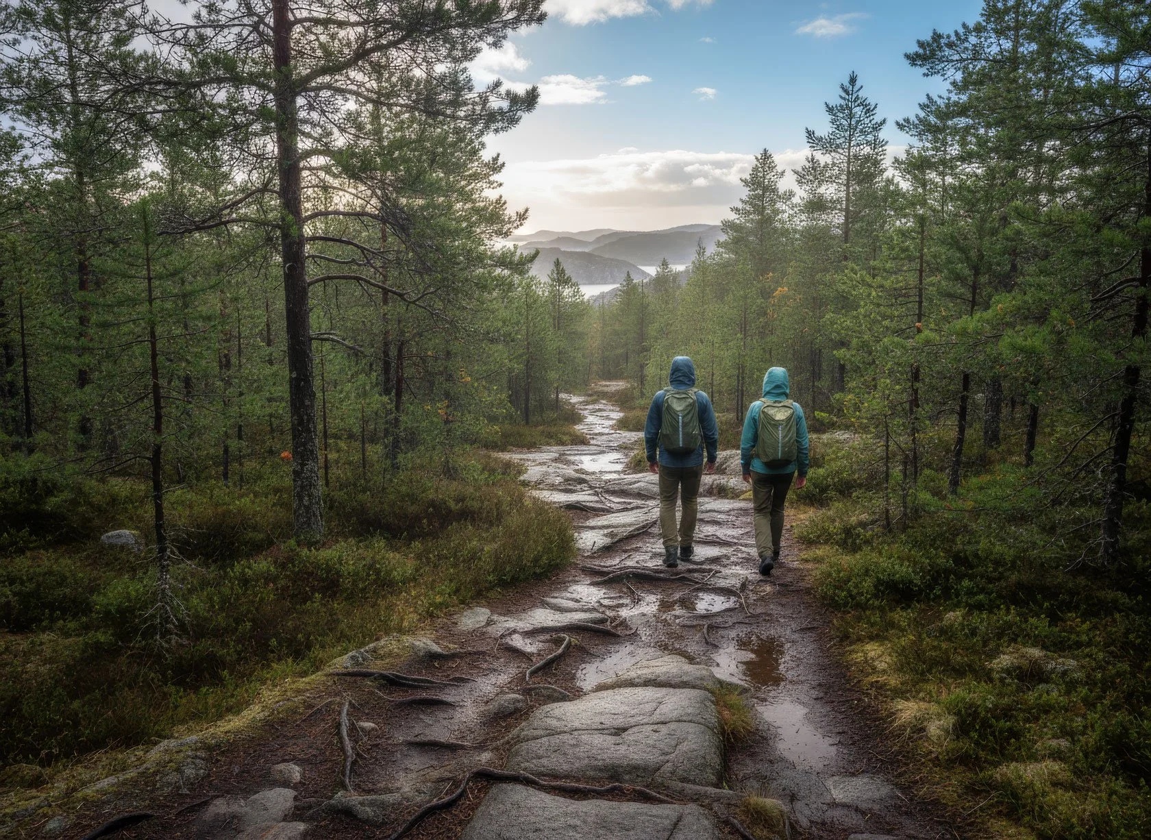
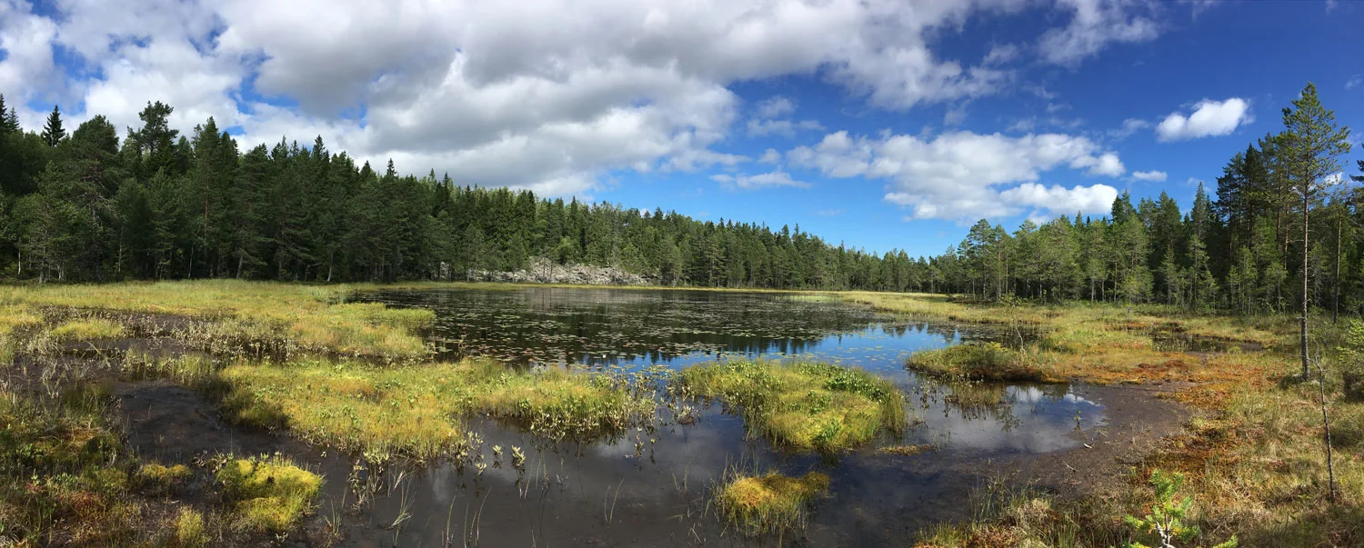
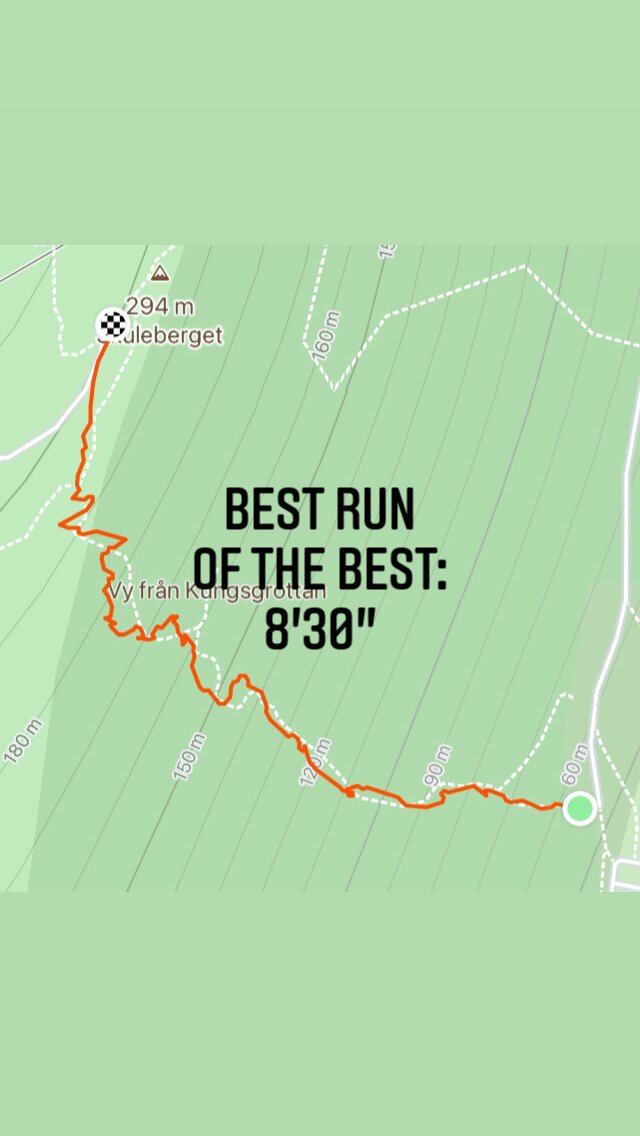
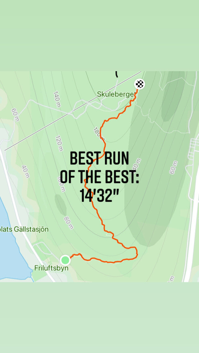
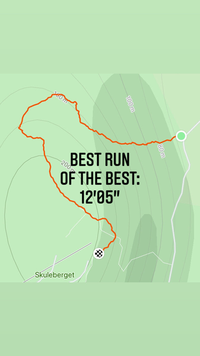
The second voice is the Elk Trail—the lonely long way around. It winds through forests, follows ridgelines, descends into valleys. The elevation gain is spread across the entire route. It's "gentler" on paper, but it demands something different: patience, presence, the ability to sustain effort without drama. This is the ecological flow—the kind that doesn't exhaust you, but deepens you.
Most runners choose one or like the other. But the real secret of Skuleberget is this: both are right. Both teach you something different about consciousness.
The Eagle and the Elk: A tale of two flows

The Marked Path: Performance as Destination
The Eagle Trail seduces with its promise of control. Clear markers. Defined objectives. Predictable challenges. Your GPS tracks every meter. Your watch monitors every heartbeat. The trail is mapped, measured, and manageable.
Neurologically, this represents a high-cognitive load environment. Your prefrontal cortex remains hyperactive, constantly processing performance metrics, route complexity, and competitive benchmarks.
You're thinking about the run instead of being the run.
The Occupier's Rhythm:
Imposed human pace
External validation through metrics
Performance as the primary metric
Landscape as static backdrop
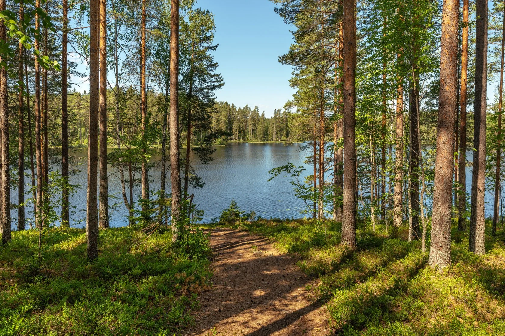
The Wild Invitation: Presence as Destination

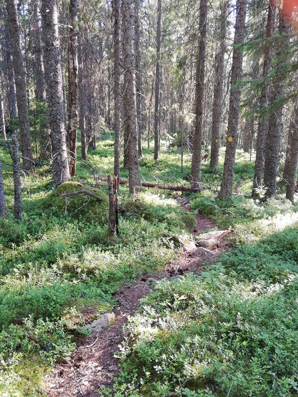
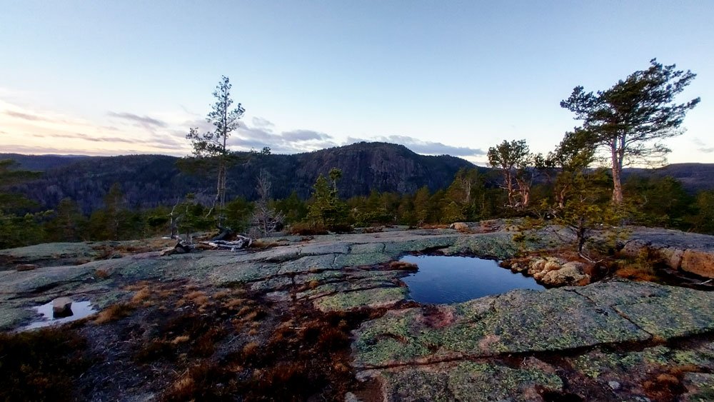
The Elk Trail doesn't appear on most maps. No needle markers guide your way. No crowds validate your effort. Just you, ancient pines, and terrain that demands your complete presence.
When you enter this trail, something profound happens to your nervous system. Your default mode network recalibrates. Your prefrontal cortex downregulates. Interoceptive awareness amplifies. Ecological consciousness emerges.
Your foot doesn't just land; it listens. Your breath doesn't power movement; it synchronizes with the mountain's respiratory rhythm.
You're no longer running on the mountain—you're running with it.
What I've learned running these trails

I don't remember how many times I've run these two segments. Not because I'm chasing a personal record or a Strava crown. But because each run reveals something new about what it means to be present.
On the Eagle path, I learned that flow isn't about speed. It's about surrender to the mountain's pace.
On the Elk path, I discovered that the best runs happen when I stop trying to "run well" and start listening to what my body wants to do.

The Skogspaus G.U.E.S.T. principles in motion on two opposite faces of the mountain
G - GENTLE
🦅 segment: Social gentleness
🫎 segment: Ecological gentleness
U - UNDERSTANDING
🦅 segment: Human systems
🫎 segment: Natural ecosystems
E - EMPATHETIC
🦅 segment: Runner empathy
🫎 segment: Landscape empathy
S - SUSTAINABLE
🦅 segment: Social sustainability
🫎 segment: Ecological sustainability
T - TRANSFORMATIVE
🦅 segment: Performance transformation
🫎 segment: Consciousness transformation
The Flow State Revolution
Traditional Flow:
Overcome resistance
Individual achievement
External metrics
Competitive mindset
Forest Guest Flow:
Dance with resistance
Ecological participation
Internal resonance
Collaborative mindset
Neurological Evidence
Emerging research in ecological neuroscience suggests that:
Flow states are not just psychological
They're complex neurobiological conversations
Environment actively participates in consciousness modulation
Your next run: An invitation
Tomorrow, when you lace up your trail shoes, you'll face a choice:
Will you run the trail, or will you let the trail run through you?
The Eagle and the Elk are waiting. Both have lessons about:
Performance 👉 vs. Presence
Achievement 👉 vs. Awareness
Occupation 👉 vs. Conversation
When the mountain becomes a mirror

Every year, in late May, something happens here which almost amazes and excites me every time.
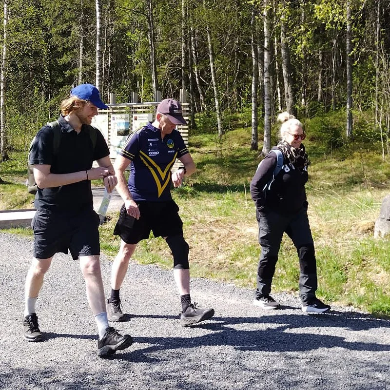
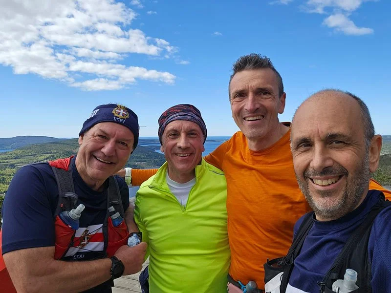
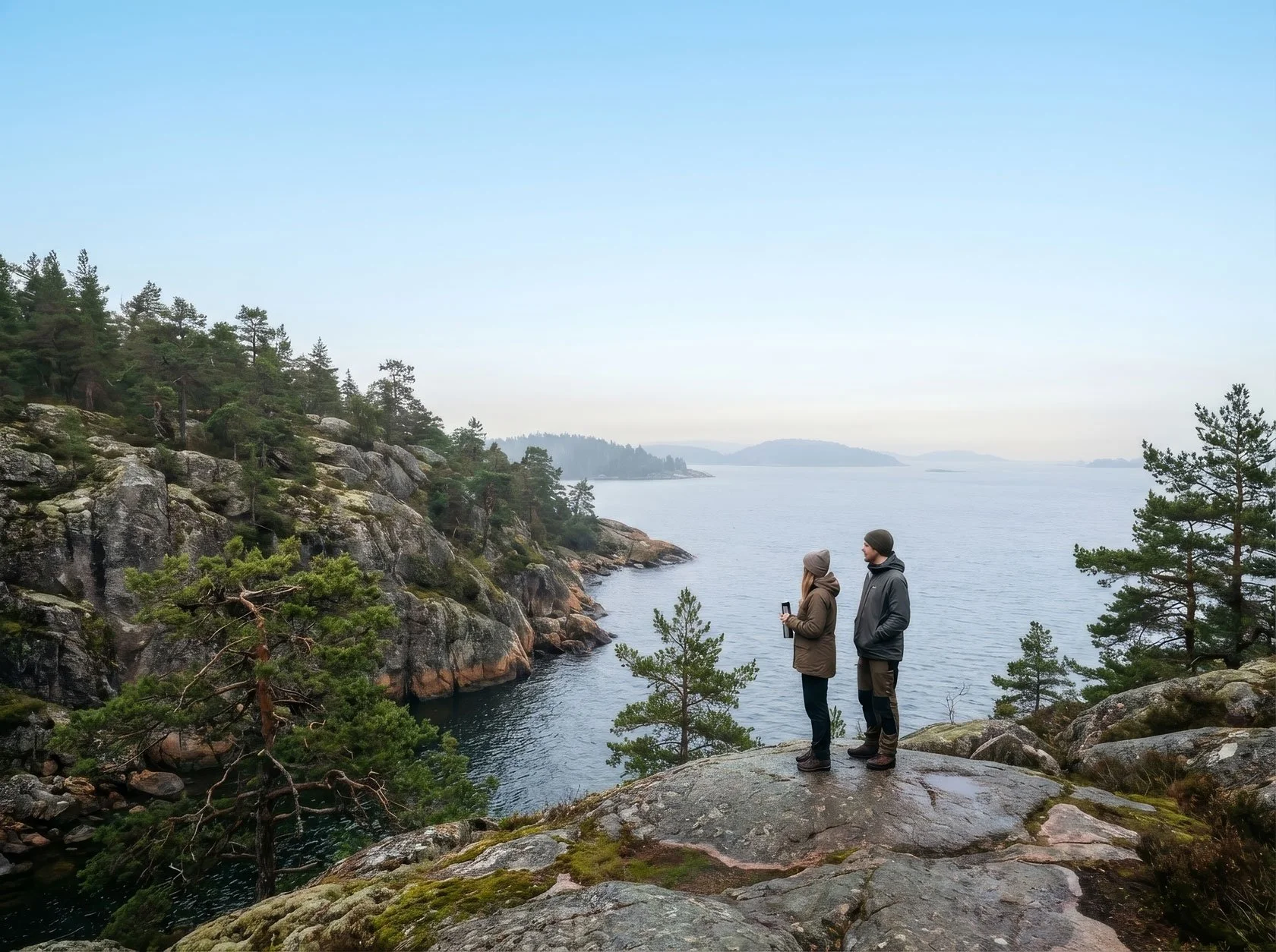
Runners arrive—some alone, some with friends, some who've never met before. They come from Finland, Germany, Italy, all over—drawn by word that Skuleberget teaches something you can't learn racing or training elsewhere.
They come because they want to know what it feels like to run with the mountain, not against it.
And when they stand at the base—at that same choice point where I stand every time—something shifts. Segments like the Eagle and the Elk aren't just trails anymore. They're mirrors. Each runner sees themselves in the mountain's two voices.
Some discover they need the clarity of the steep path. Others find their truth in the patient, winding way. Most learn that both kind of paths are sacred.
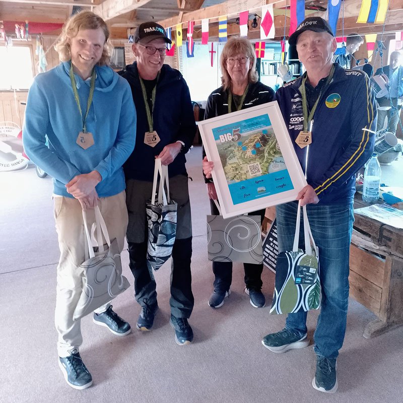
This is the story behind the #BIG5 Challenge. If you want to understand the full journey—from its origins to the traditions that make it unique— read: The Skuleberget #BIG5 Challenge: Where Trail Running Meets Nordic Soul.
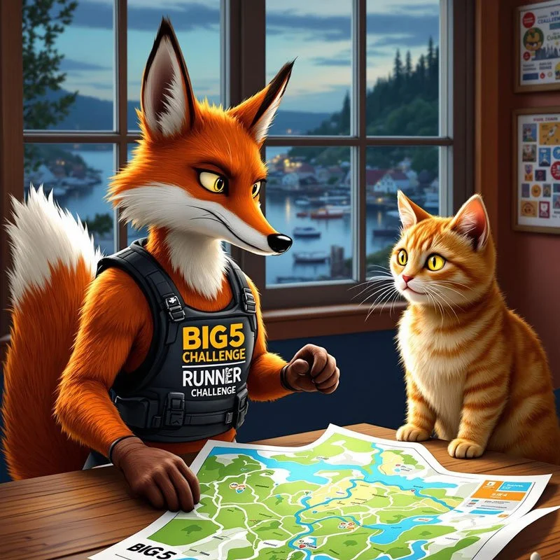
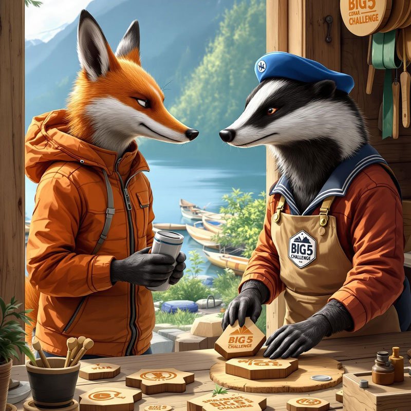
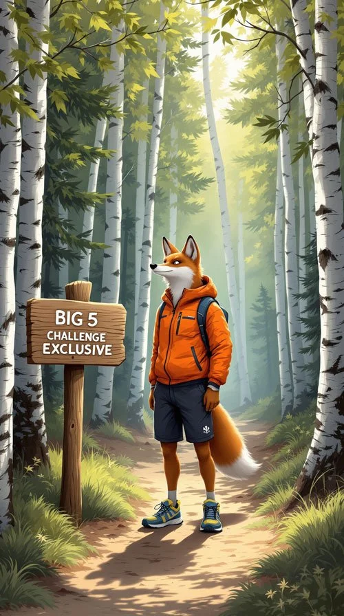
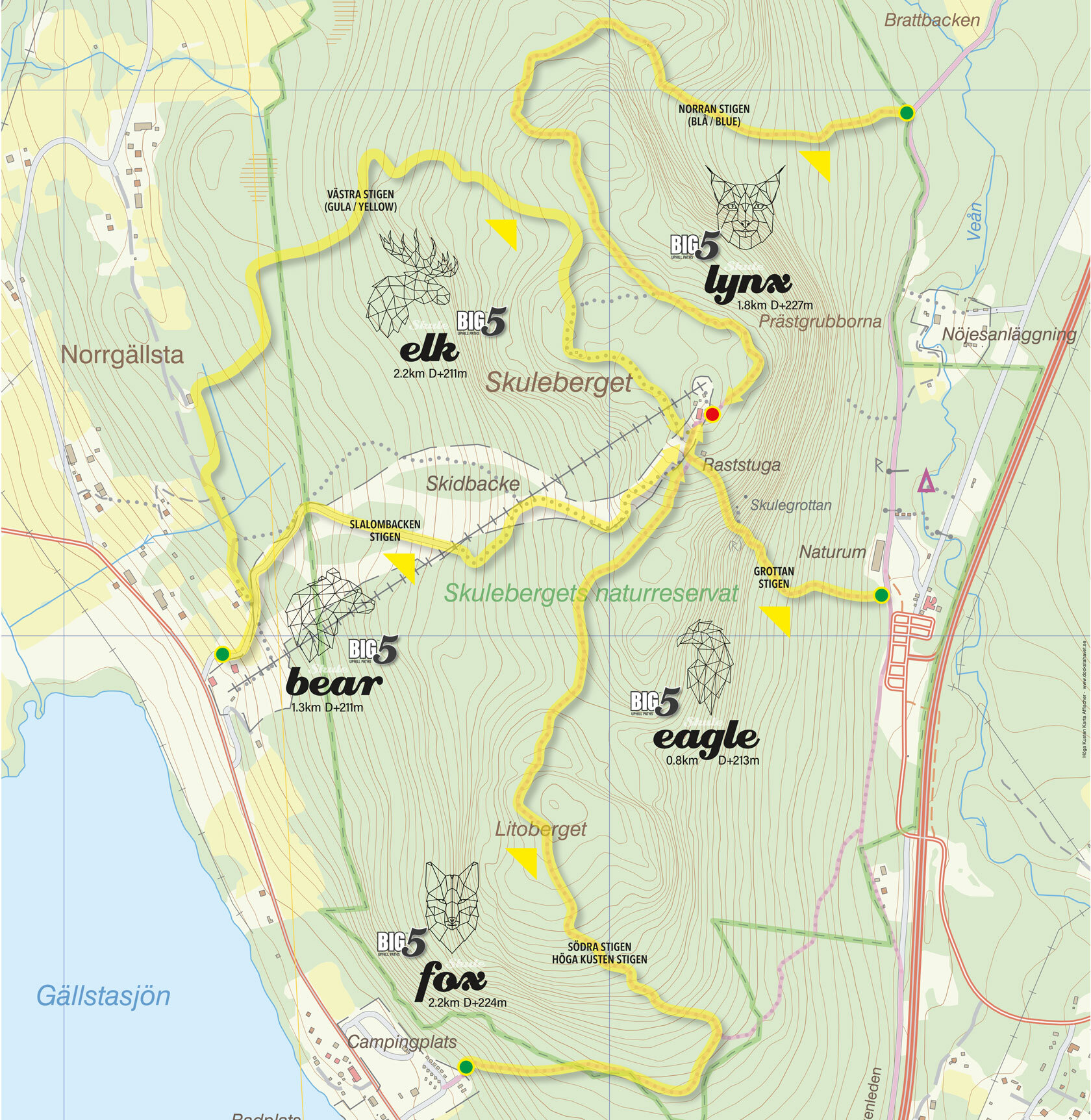
The #BIG5 Challenge: Five paths, one mountain


This is why we created the #BIG5 Challenge.
Not as a race. Not as a competition. But as an invitation to meet yourself on the same mountain where thousands of runners have already found something they didn't know they were looking for.
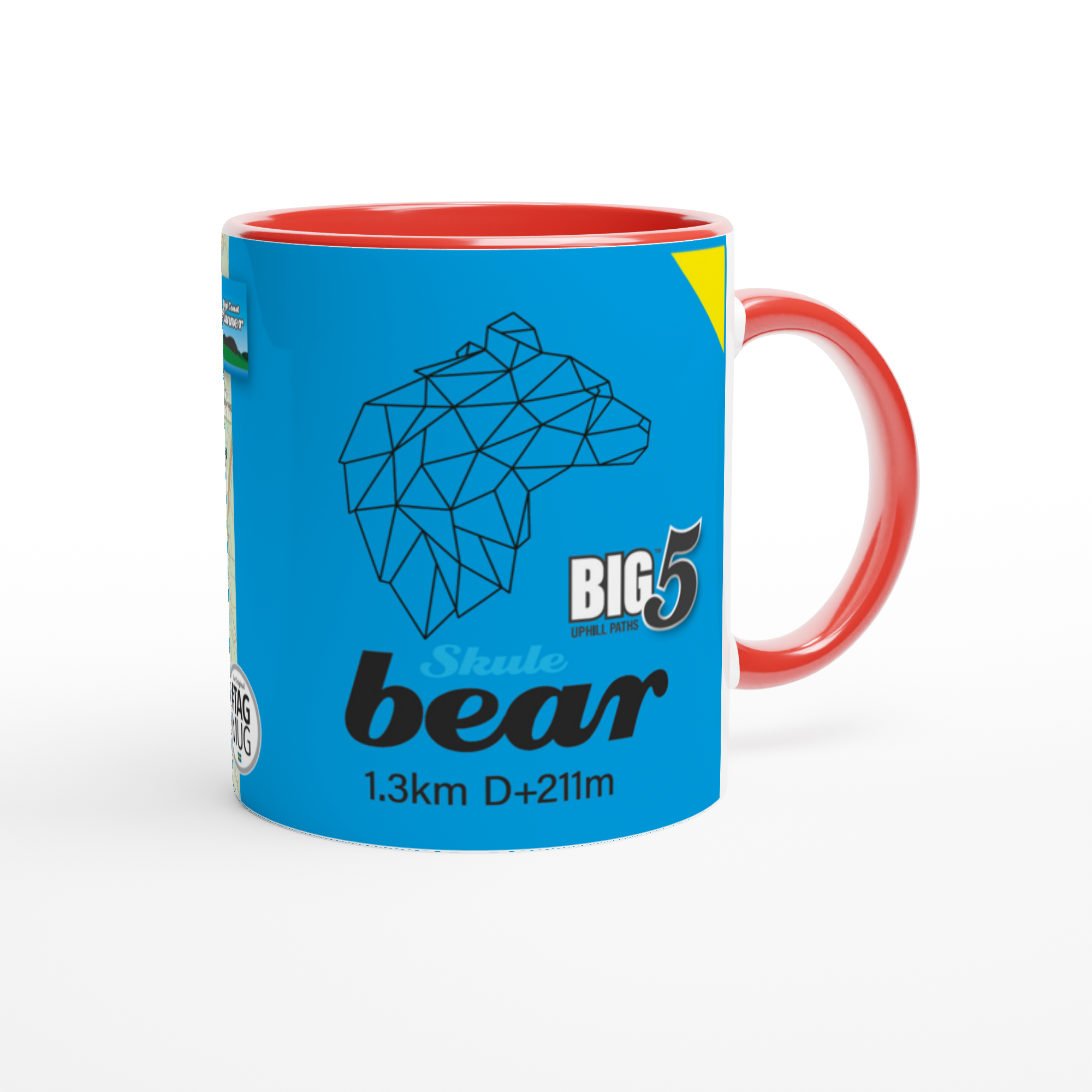
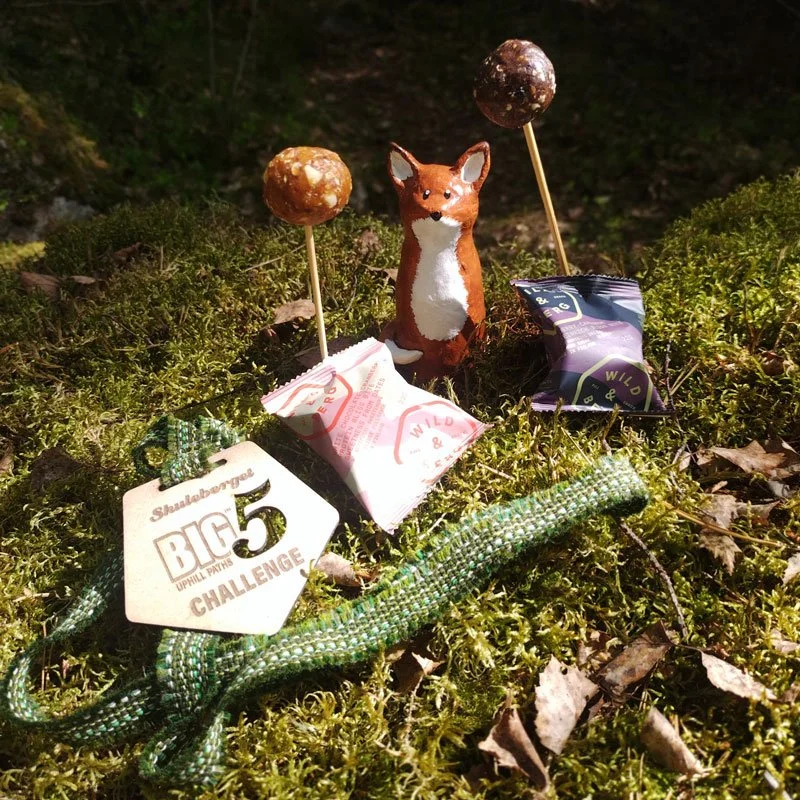
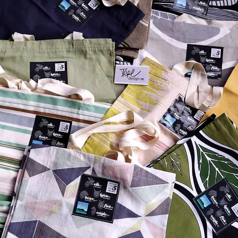
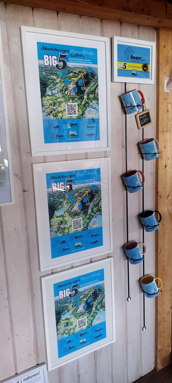
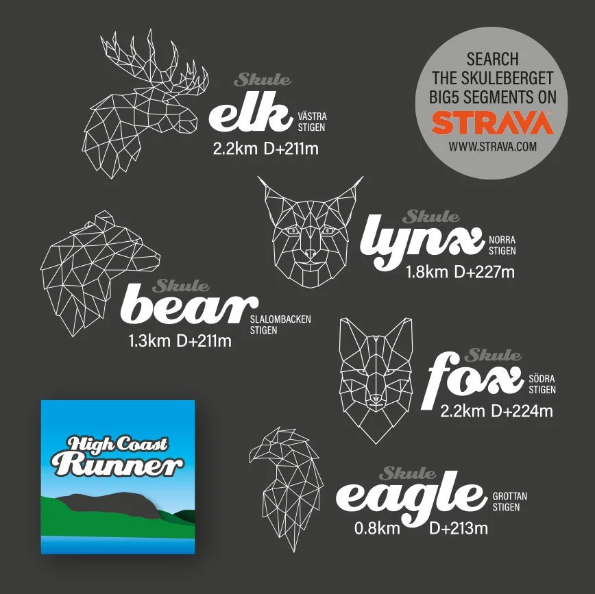
Five animal paths. Five different states of consciousness:
LYNX – The hunter's awareness. Acute, focused, predatory presence.
ELK – The wanderer's rhythm. Steady, sustainable, connected to the herd.
BEAR – The grounded power. Strength meeting earth, rooted and real.
EAGLE – The expansive view. Perspective from altitude, seeing the whole landscape.
FOX – The intelligent adaptation. Cunning, responsive, dancing with terrain.
Each teaches something different. Each reveals a different part of you.
Know all the #BIG5 segments— read: Trail running in the High Coast: The #BIG5 Paths of the Skuleberget Mount
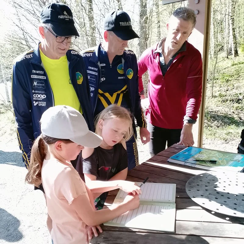
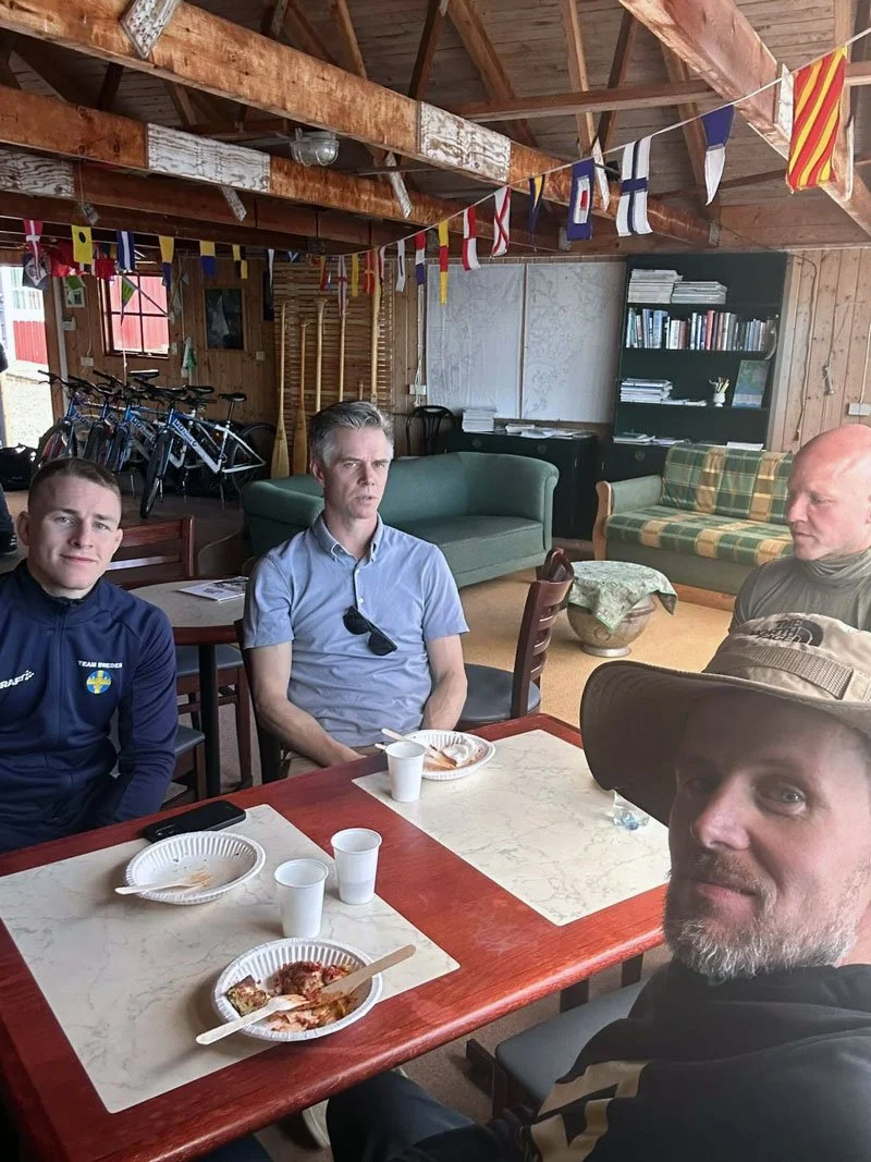
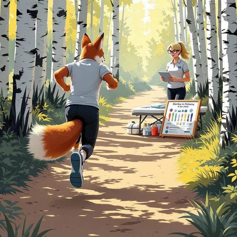
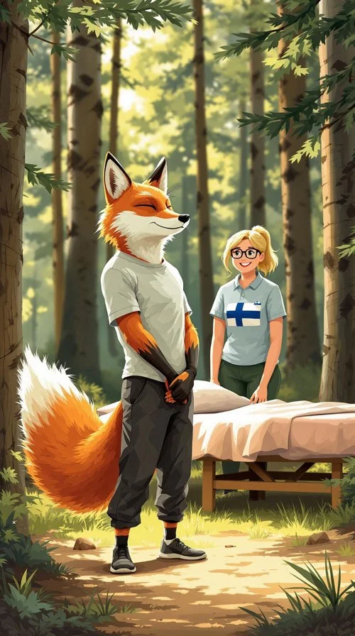
After the run: The real gathering
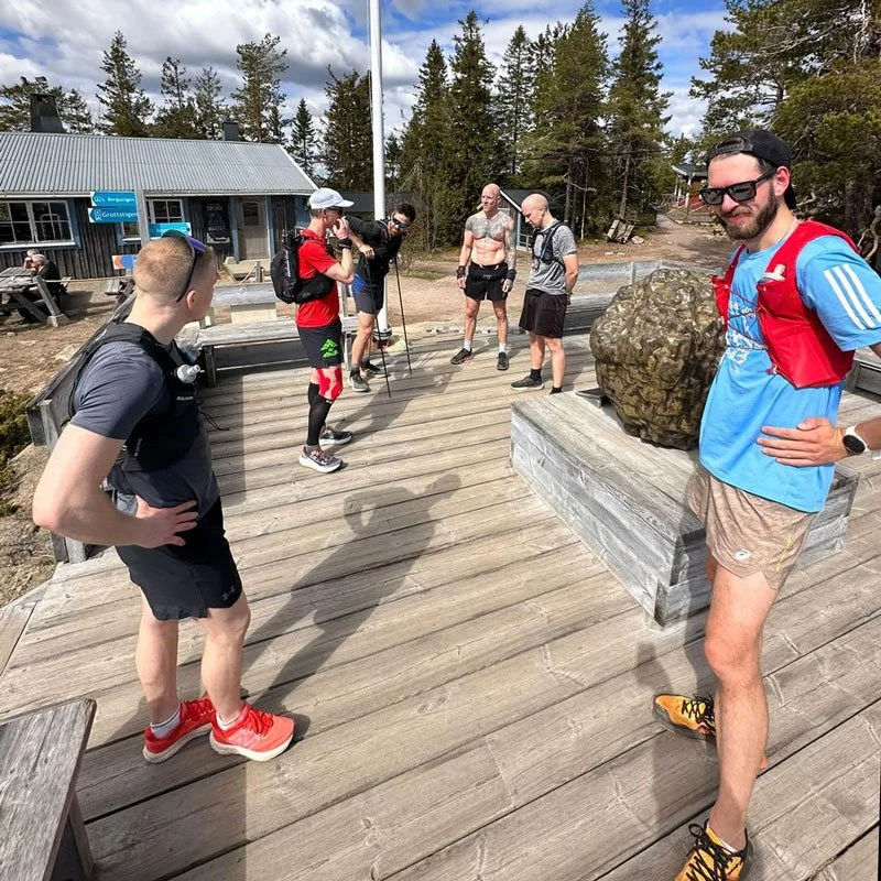
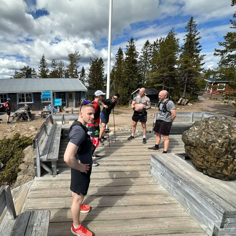
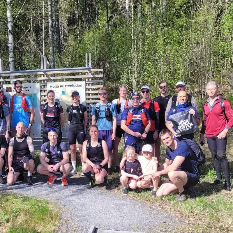
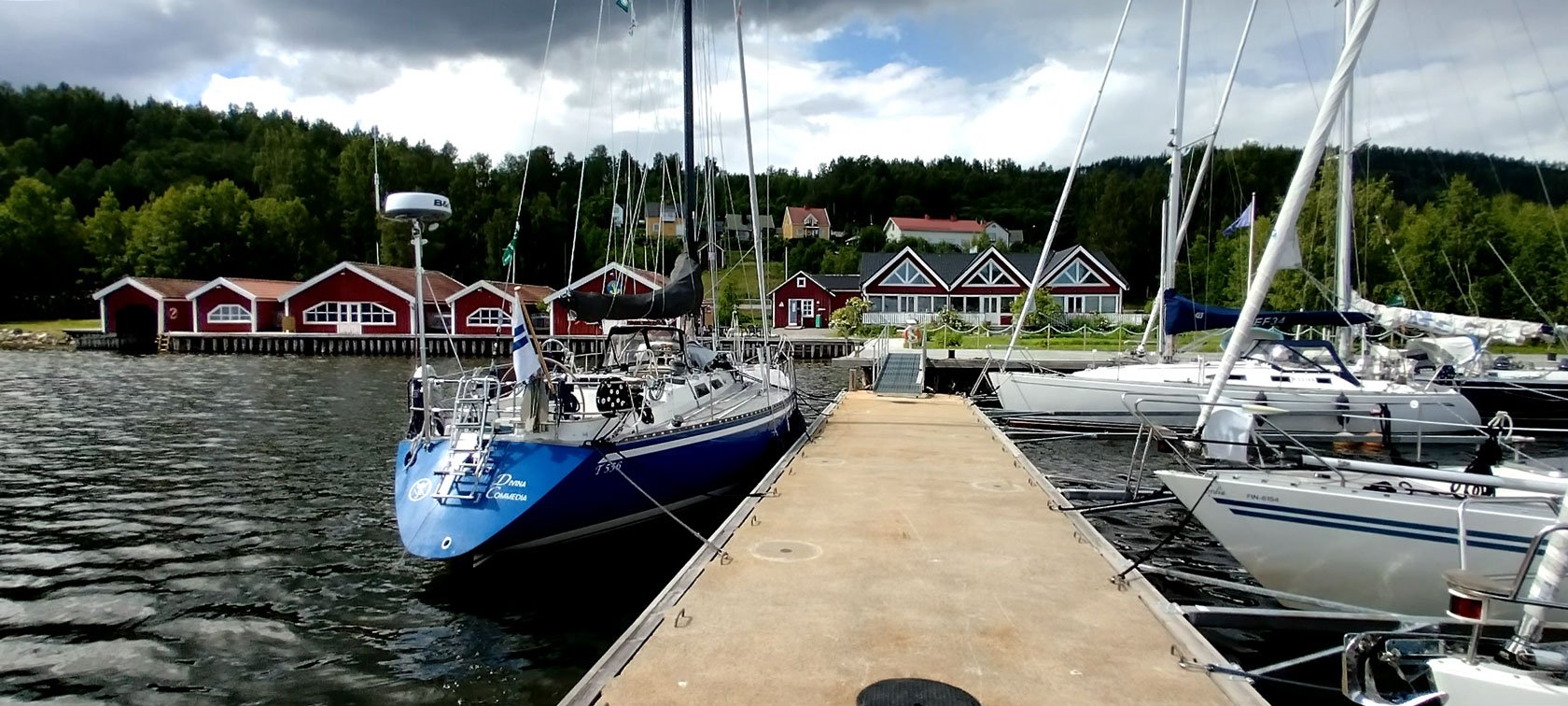
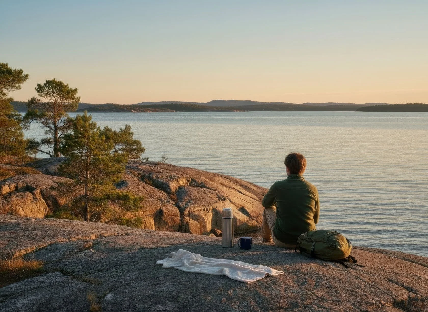
Here's what I've learned: the challenge at Skuleberget doesn't end at the finish.
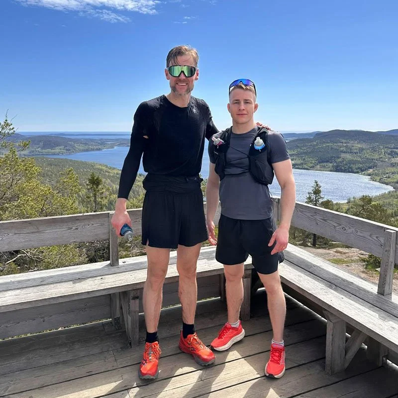
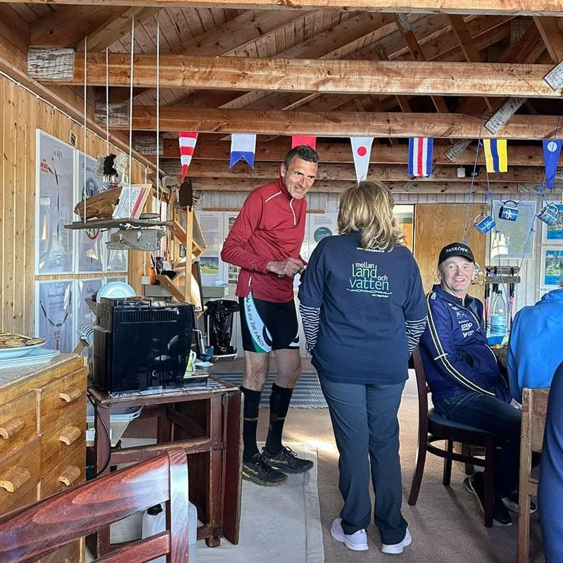
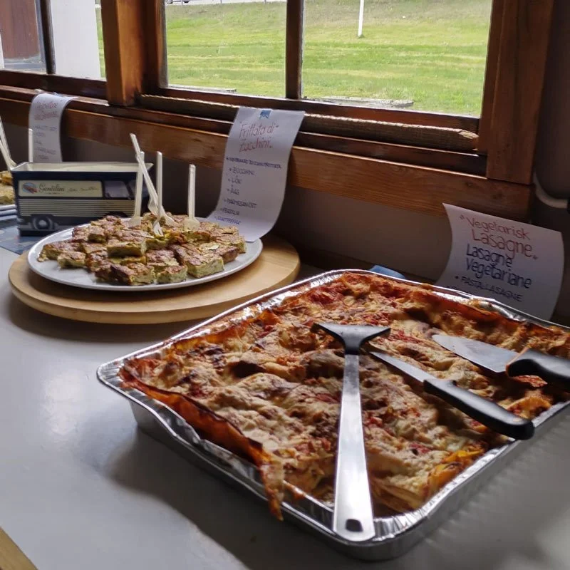
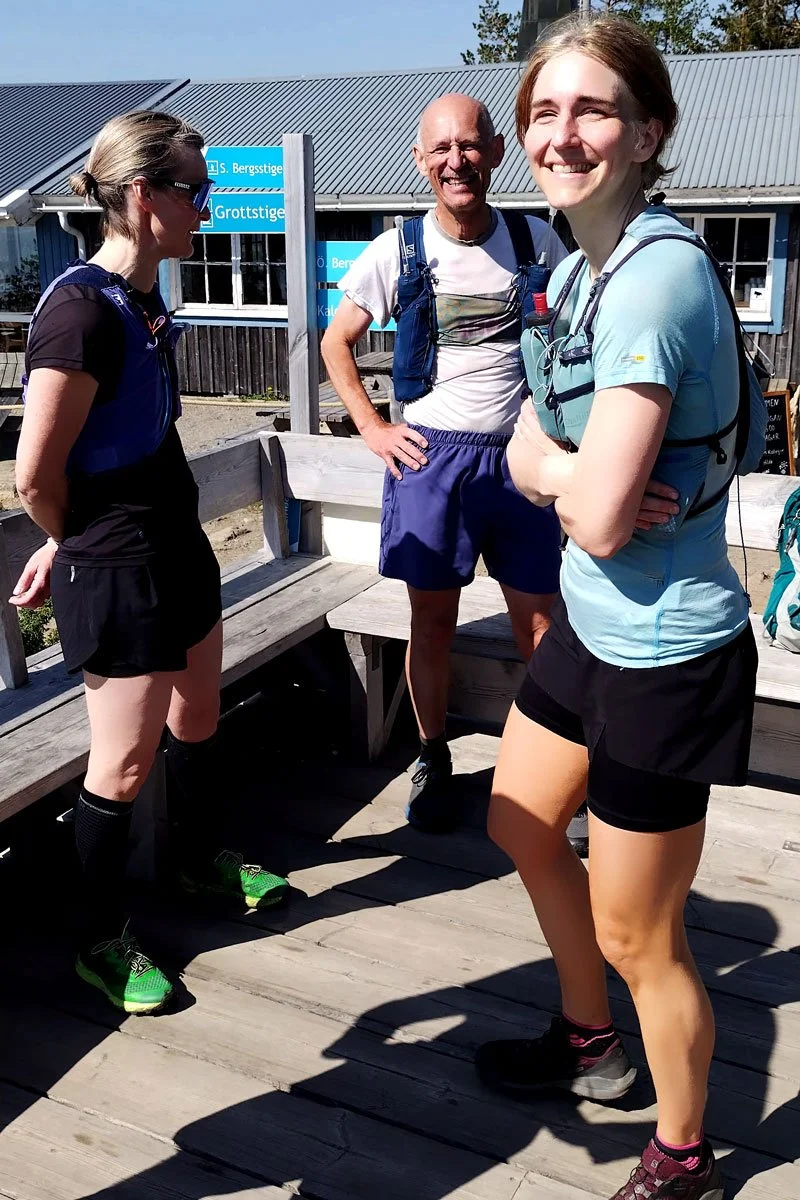
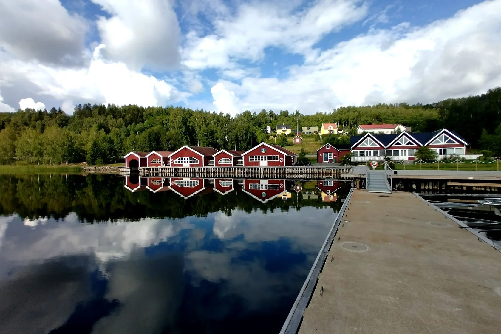
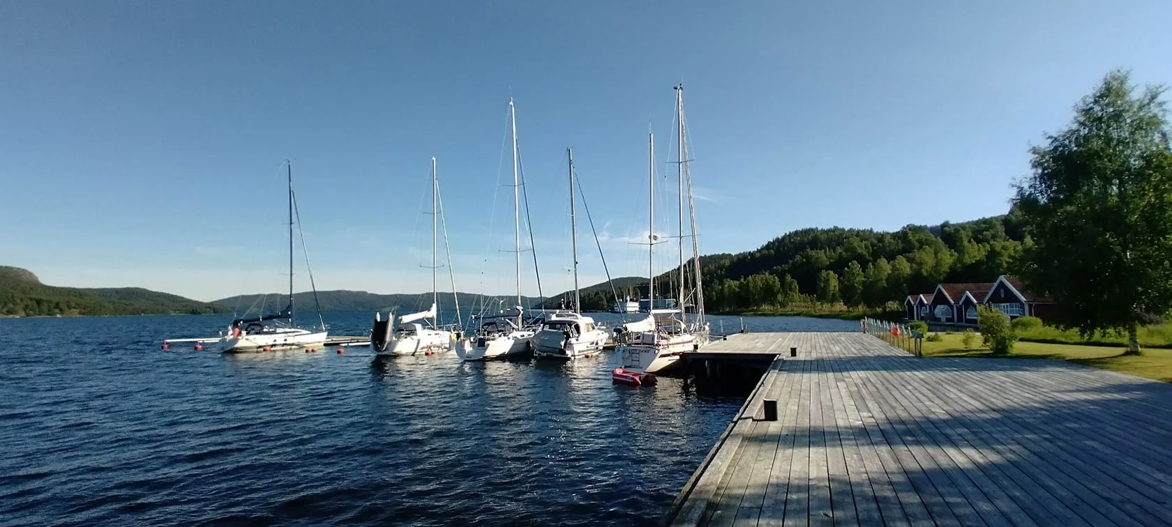
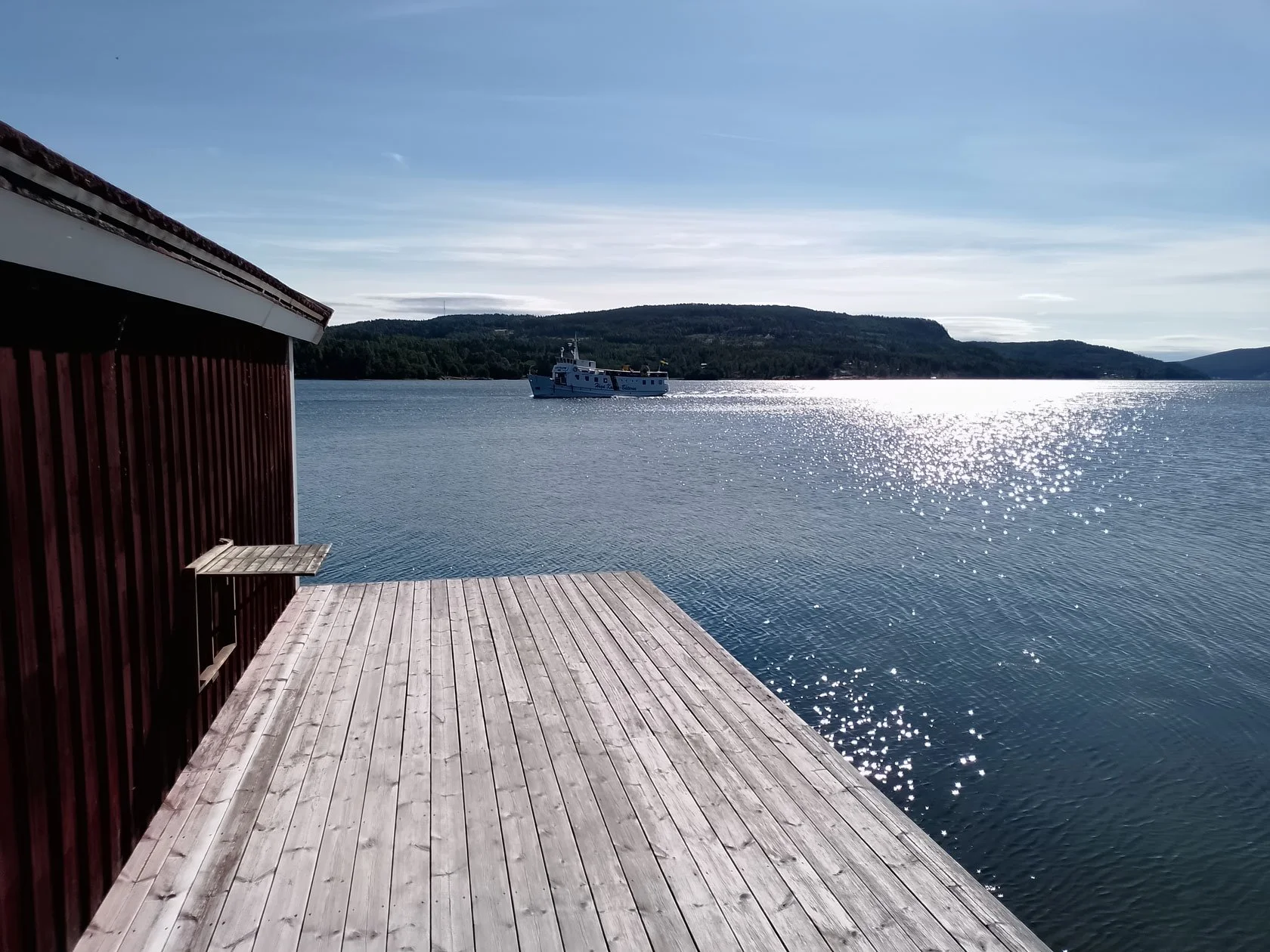
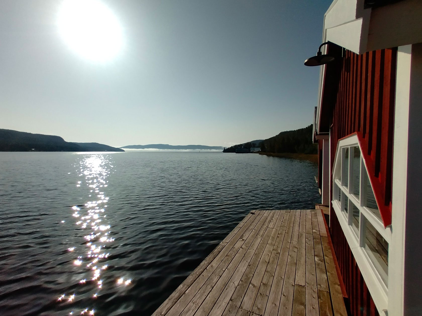
It ends when we gather at the marina clubhouse—sweaty, tired, alive. When we share stories over espresso and snacks. When we sit by the sea and remember why we run. When a stranger from Finland becomes a friend because you both discovered something true about yourselves on the same mountain.
This is where you discover that the real magic doesn’t happen on the summit only. In the #HighCoastRunner community. In the collective understanding that we're all here for the same reason: to let the mountain teach us something about presence, flow, and what it means to be fully alive on a trail.
Your invitation
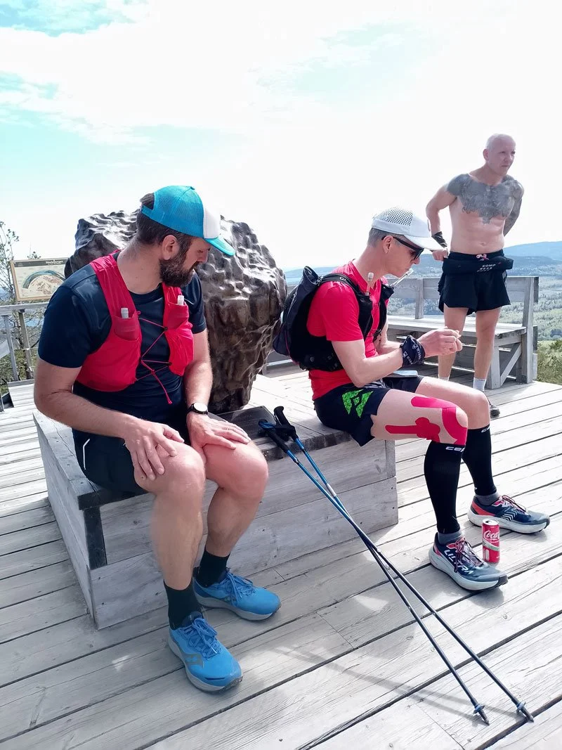
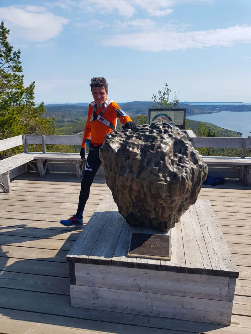
The 6th #BIG5 Challenge is May 30th, 2026: Five uphill segments on Skuleberget, run together. No timing. No podium. No entry fee. But make no mistake: this is a serious mountain day.
It’s recommended for trail runners with a solid training base—people who respect steep terrain, long effort, and changing conditions. Distance and elevation don’t tell the whole story here. The mountain does.
If you feel called, you’re welcome.
Bring a minimal backpack and a light soul. The rest will follow.
We may keep this edition small (around 50 runners) to protect the spirit – we keep it intimate so everyone gets the care, the community, and the real experience.
Ready?
Join the High Coast Runner Club on Strava
Pls. confirm your spot at the 2026 edition of the #BIG5 Challenge: tominthehighcoast@gmail.com | +46 76 3136909
See you on the trails.
Tommaso :)
The Mountain doesn't end at the finish of your path
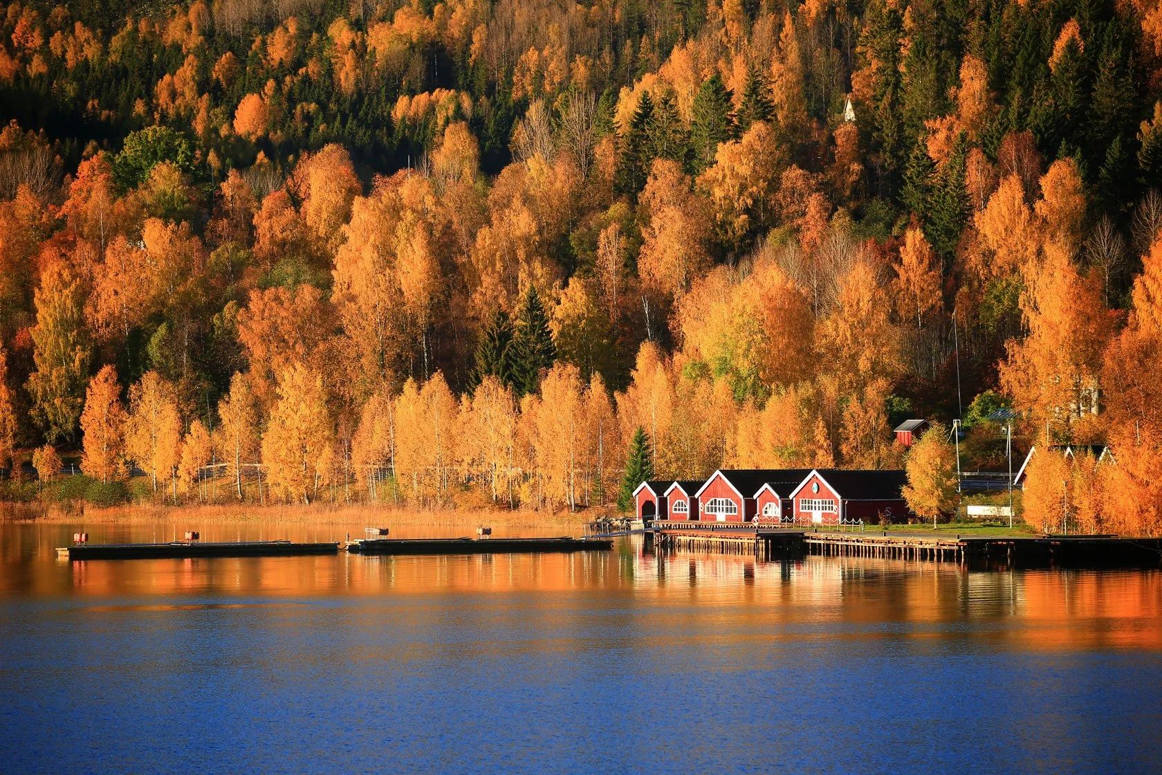
Skuleberget is one of those places that doesn't care about your plans. You can come here for a technical trail running session, a panoramic hike with a friend, a quiet solo climb when life feels loud—or a hard session on steep ground when you need to remember what you're made of. Either way, the mountain gives you the same kind of honesty: clear air, simple effort, and that calm tiredness that feels like truth.
And if you return often enough, you start to understand something else too: we don't come here only to "train". We come here to meet ourselves—again and again—on the same trail.

Tommaso De Rosa
Co-creator, Skuleberget #BIG5 Challenge
For any inquiries about the challenge, feel free to contact me:
Tommaso De Rosa
+46 (0)76.3136909
or +39.335.1309207 (WhatsApp too)
dockstahavet@gmail.com
P.S. - I'm also the author of SKOGSPAUS: The Forest Guest Bible, a 10-lesson guide to Forest Guest Consciousness. Read it below with 50% OFF.
Want to go deeper into Forest Guest Consciousness?
Entering the forest is more than just a run. Most of our running sessions begin with urgency: lacing shoes, checking watches, setting goals. We treat forests as backdrops for our performance, landscapes to cross rather than conversations to enter. SKOGSPAUS Forest Guest Consciousness and P.A.U.S.E. methodology offer a different approach: your first steps into the forest become a dialogue, bringing mindfulness and flow to every outdoor session, even an intense trail run. SKOGSPAUS isn't a training method. It's a way of being in the forest.
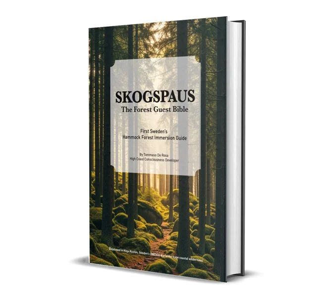
My e-book—a 10-lesson guide to presence, flow, and ecological awareness—shows you how to transform every trail into a conversation with the mountain.


![Trysunda Maps Collection [Höga Kusten Outdoors Poster]](https://images.squarespace-cdn.com/content/v1/594e2defd482e9221abc3588/1619000038678-ACXEE2CJXOVREO9YKS6T/Trysunda-island-map-posters-collection-high-coast-world-heritage.jpg)
![Ångermanälven Maps Collection [Höga Kusten Outdoors Poster]](https://images.squarespace-cdn.com/content/v1/594e2defd482e9221abc3588/1618926566063-NFP6XEPAFDVRFL6M6CR8/angermanalven-kramfors-map-posters-collection-high-coast-world-heritage.jpg)
!["The heart of the High Coast" Maps Collection [Höga Kusten Outdoors Poster]](https://images.squarespace-cdn.com/content/v1/594e2defd482e9221abc3588/1618760291341-OXUS2LPJQ8B9G9LKEHHL/exploring-hoga-kusten-map-posters-collection-high-coast-world-heritage.jpg)
![Rotsidan Maps Collection [Höga Kusten Outdoors Poster]](https://images.squarespace-cdn.com/content/v1/594e2defd482e9221abc3588/1617882840671-LIUI5UZYALE79PWXLFAR/Rotsidan-map-posters-collection-high-coast-world-heritage.jpg)
![Smitingen Maps Collection [Höga Kusten Outdoors Poster]](https://images.squarespace-cdn.com/content/v1/594e2defd482e9221abc3588/1617878495003-LTSZ40TVV3XL9IT1FE8J/Smitingen-map-posters-collection-high-coast-world-heritage.jpg)
![Mjältön Maps Collection [Höga Kusten Outdoors Poster]](https://images.squarespace-cdn.com/content/v1/594e2defd482e9221abc3588/1618156285805-T7Q098BFB1ZYDA75POHQ/mjalton-map-posters-collection-high-coast-world-heritage.jpg)
![Skuleskogen Maps Collection [Höga Kusten Outdoors Poster]](https://images.squarespace-cdn.com/content/v1/594e2defd482e9221abc3588/1617709241251-S2GDNW3DEYFORE6IJP46/Skuleskogen-National-Park-map-posters-collection-high-coast-world-heritage.jpg)
![Docksta Maps Collection [Höga Kusten Outdoors Poster]](https://images.squarespace-cdn.com/content/v1/594e2defd482e9221abc3588/1617618188542-WP99ZYPW3DYO8JSSUTIR/Docksta-map-posters-collection-high-coast-world-heritage.jpg)
![Norrfällsviken Maps Collection [Höga Kusten Outdoors Poster]](https://images.squarespace-cdn.com/content/v1/594e2defd482e9221abc3588/1617617579701-COP2O97IRKQKXURZZ9CQ/Norrfalsviken-map-posters-collection-high-coast-world-heritage.jpg)
![Skuleberget Maps Collection [Höga Kusten Outdoors Poster]](https://images.squarespace-cdn.com/content/v1/594e2defd482e9221abc3588/1617617184033-4VHGON7P7J3HZAFCRQVL/Skuleberget-map-posters-collection-high-coast-world-heritage.jpg)
![Salsåker Maps Collection [Höga Kusten Outdoors Poster]](https://images.squarespace-cdn.com/content/v1/594e2defd482e9221abc3588/1617618890348-E2V5C7DC7HDD5UW5F1IV/Salsaker-map-posters-collection-high-coast-world-heritage.jpg)
![High Coast Archipelago Maps Collection [Höga Kusten Outdoors Poster]](https://images.squarespace-cdn.com/content/v1/594e2defd482e9221abc3588/1617620054811-SDKPR1L8R8Z73U5BXOY2/ulvon-trysunda-mjalton-map-posters-collection-high-coast-world-heritage.jpg)
![Bönhamn Maps Collection [Höga Kusten Outdoors Poster]](https://images.squarespace-cdn.com/content/v1/594e2defd482e9221abc3588/1617716277469-4KJ7QPJPMJH2AWM17PTX/bonhamn-hogbonden-map-posters-collection-high-coast-world-heritage.jpg)
![Running Race Maps Collection [Höga Kusten Outdoors Poster]](https://images.squarespace-cdn.com/content/v1/594e2defd482e9221abc3588/1617789240229-MLD2NOZBFNHOJE0FI32R/hoga-kusten-marathon-race-map-posters-collection-high-coast-running.jpg)