


“Midsommar in the High Coast: the day has a third time”
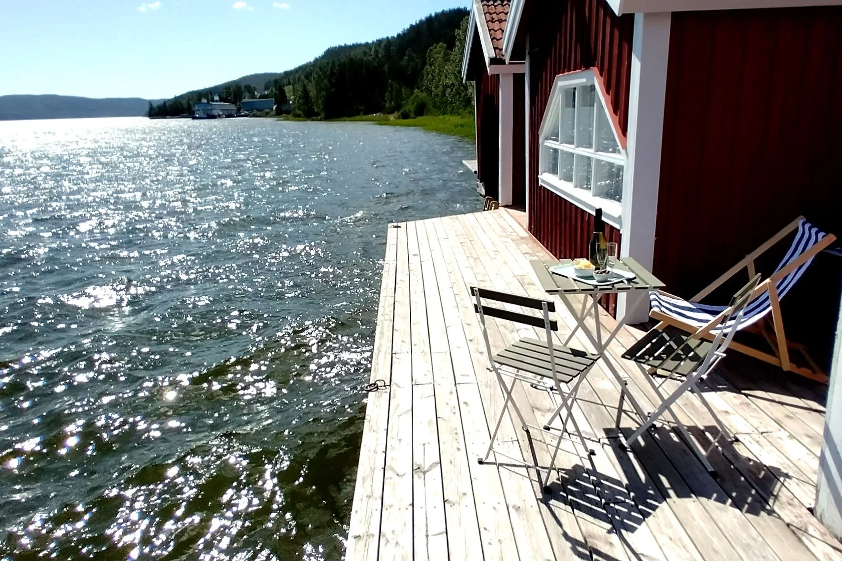
And from the piers, it’s magic.
Slow mornings by the sea, then evening hikes in light that refuses to leave. A simple 3-night plan for Skuleberget evenings, a Skuleskogen day hike, and a low-friction Day 3.
Not the Arctic — but still that midnight light feeling. In late June, Höga Kusten has its own kind of Nordic magic.
☀️
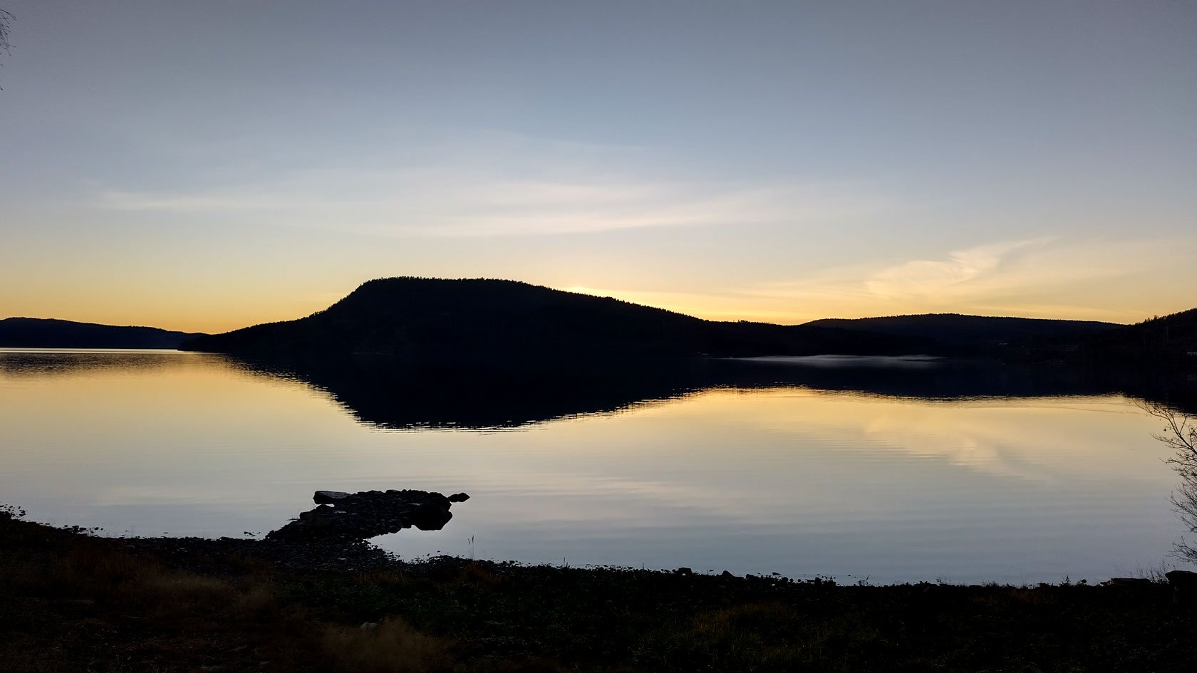
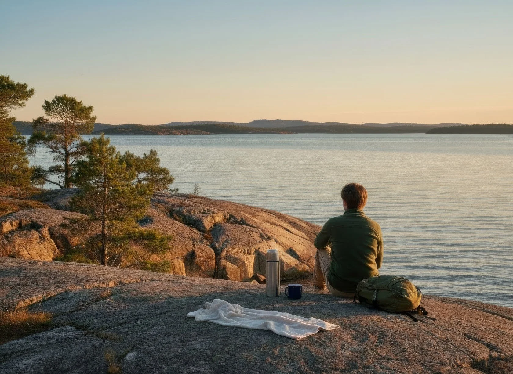
It was close to midnight when I noticed it again.
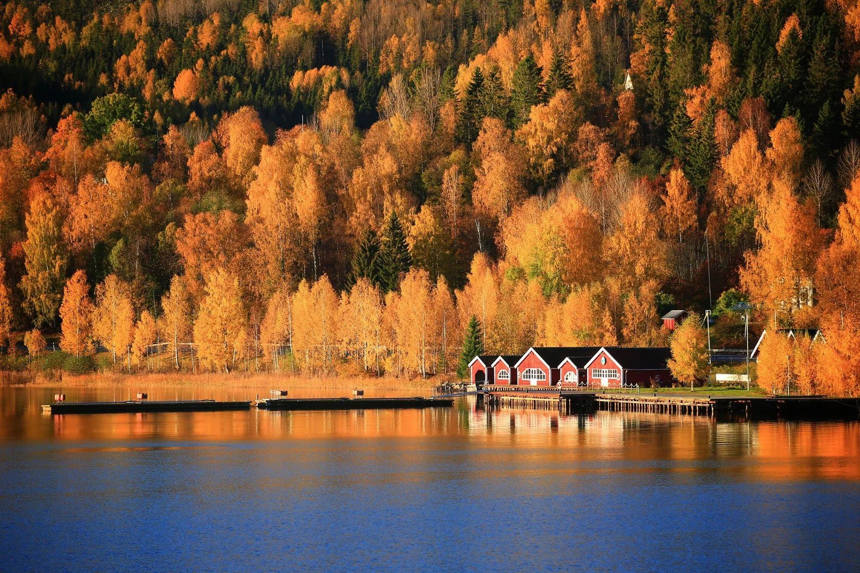
The water in the marina was almost still. The sky had turned that soft High Coast pink — not a sunset, not a sunrise — more like a long, quiet glow that refuses to leave.

And the funny part? Even our Swedish guests are stunned.
I’ve seen it so many times: someone arrives a bit tired from the drive, says “we’ll just take it easy tonight”… and then ends up on the pier at 23:30 with a warm drink in hand, looking around like the day forgot to end.
Because yes — Stockholm has bright summer evenings. But up here in the High Coast (Höga Kusten), the light in late June feels different. It feels like the day never really ends. The colours stay. The calm stays. And the dark — the real dark — simply doesn’t show up.

If you’re planning a long Midsommar weekend, this is the secret advantage of coming north: you don’t have to race the clock.
At a glance
Best time window: mid-June to early July (Midsommar is peak magic)
Best base: a place where you can arrive late, sleep by the water, and still have a real evening adventure
Best length: 3 nights (enough for one iconic hike, one immersive national park day, and one flexible “choose your mode” day)

Is this the “midnight sun”?
Let’s keep it simple.
In the High Coast you may not get the classic Arctic image of a blazing sun sitting above the horizon at 00:00 every night.
But in late June you do get something that matters even more for travellers:
Very little darkness
Long twilight that stays bright and colourful
A full extra life after dinner
And here’s the key detail: around Midsommar, the day has a third time.
In many places, evening is “rest and recovery”. And honestly, here there is no nightlife — no late bars, no busy streets, not even many places open. So the evening becomes something else: the perfect time window for nature.
It means you can:
arrive in the late afternoon after a long drive,
check in,
breathe,
spend the morning slow by the sea,
and still go out for a real hike in the late afternoon or evening — with light that feels almost unreal.


Not the Arctic — and that’s the point
The Arctic, Lapland, Nordkapp… those are unique destinations. No question.
But here’s what surprises people: you don’t need to go that far north to experience “midnight light”.
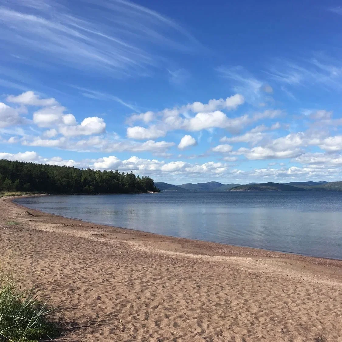
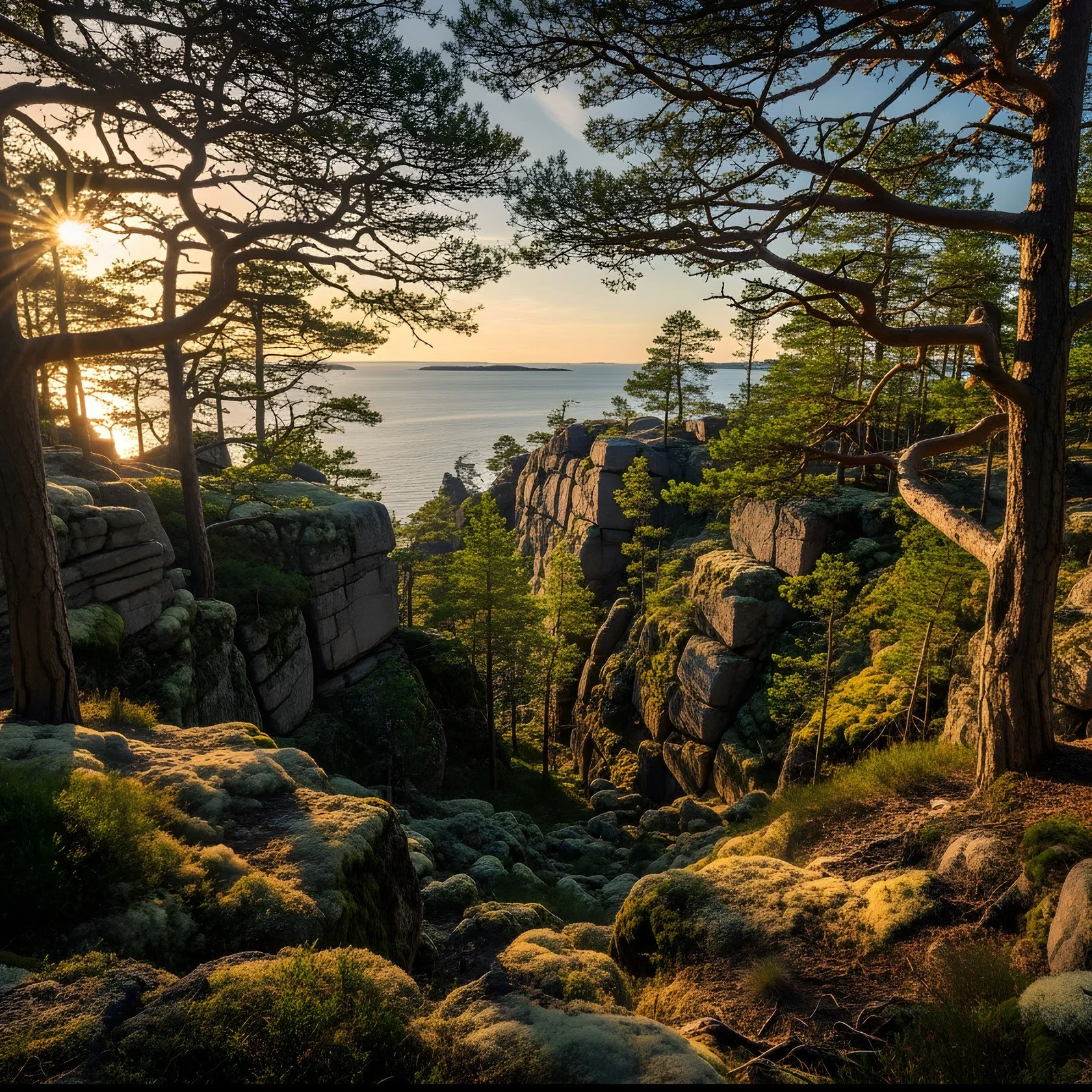
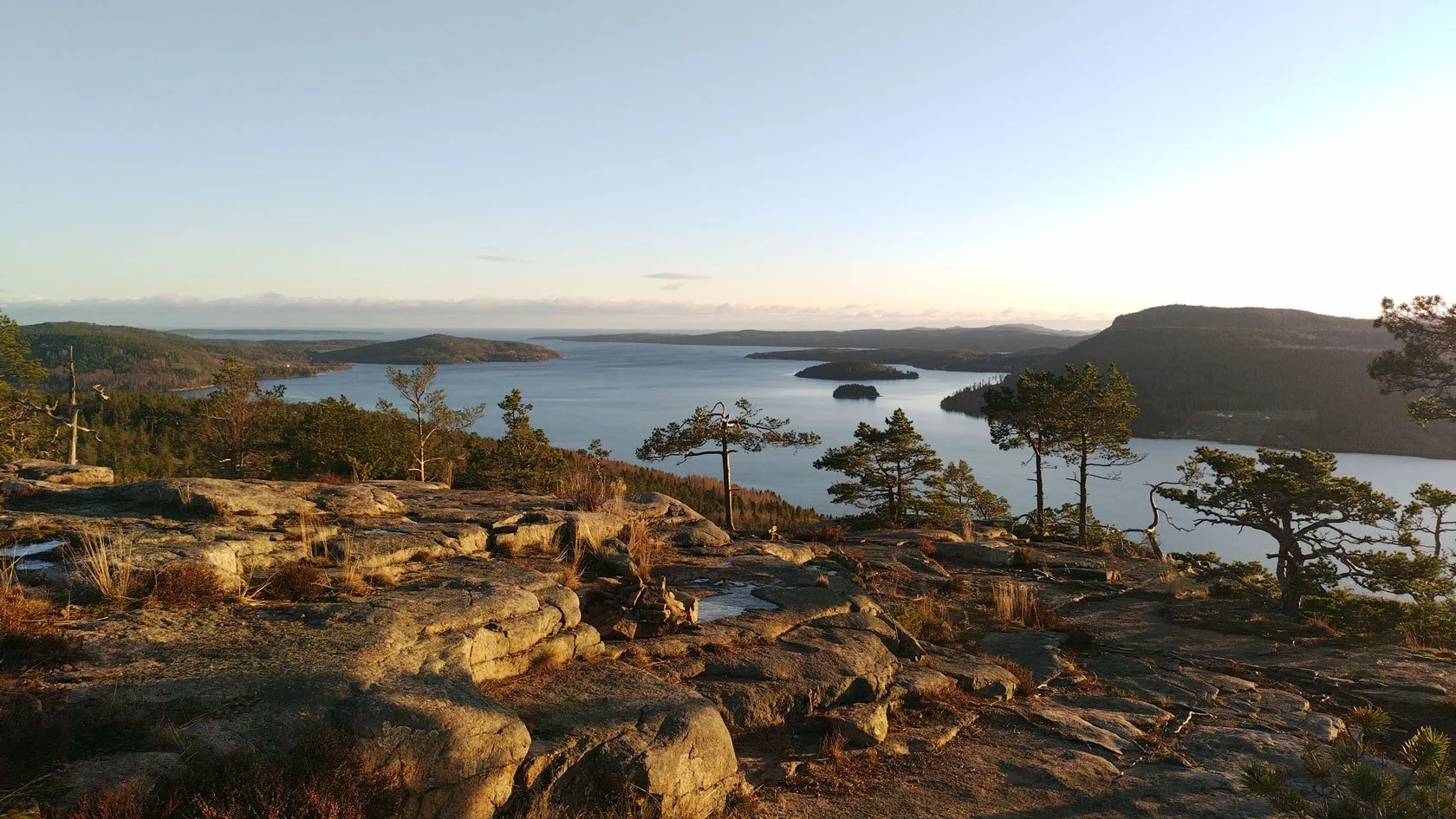
In the High Coast the sun may dip just below the horizon — but the light still floods the landscape in an incredible way. And it happens in a place that is a destination in its own right: steep coastline, granite, ancient forest, sea air, and that calm “base camp” rhythm.
So it’s not a competition with the far north. It’s simply a different kind of Nordic magic — and for many travellers, more immersive because the mountains and the sea are right there, close, and easy to reach.
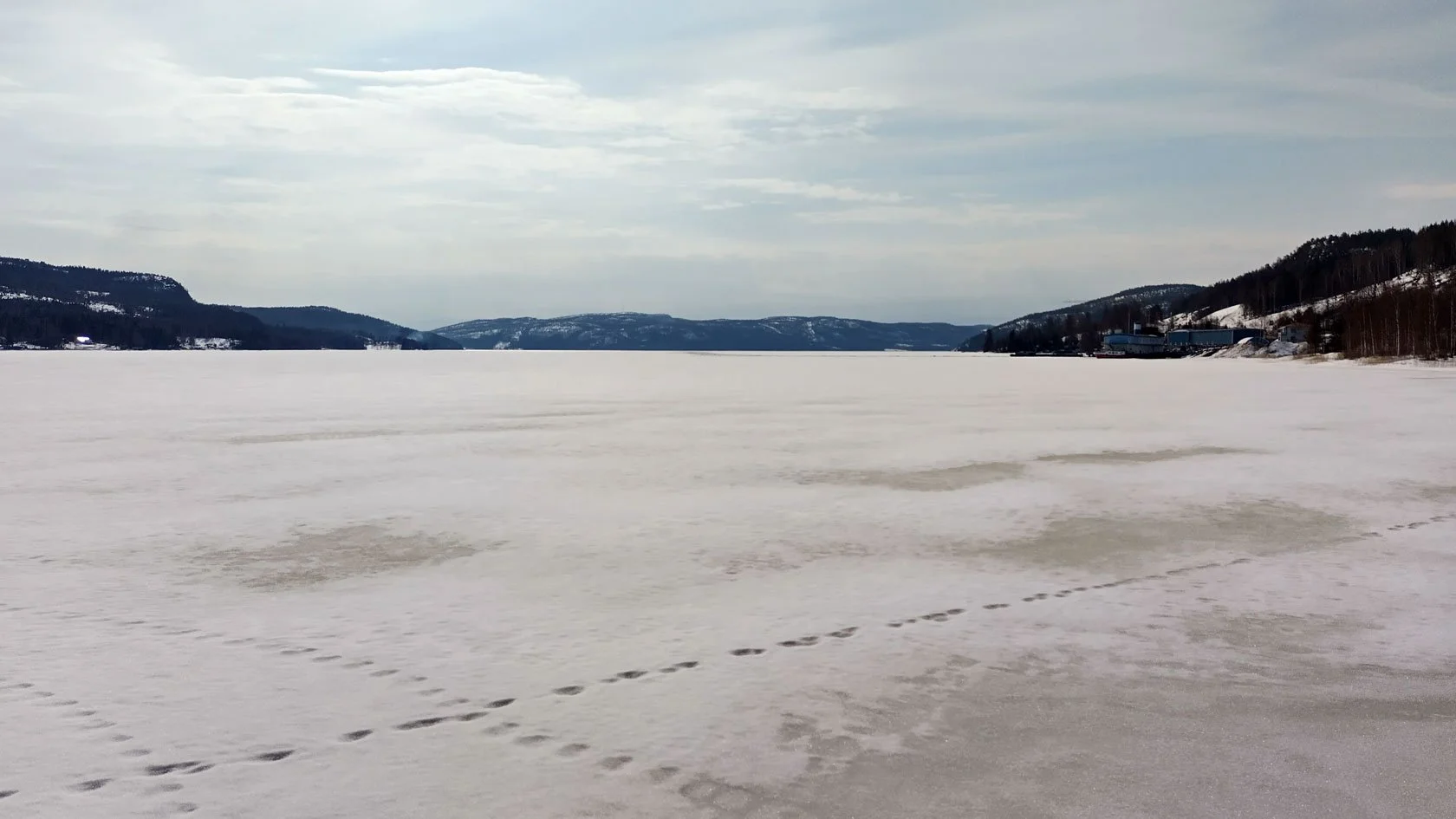
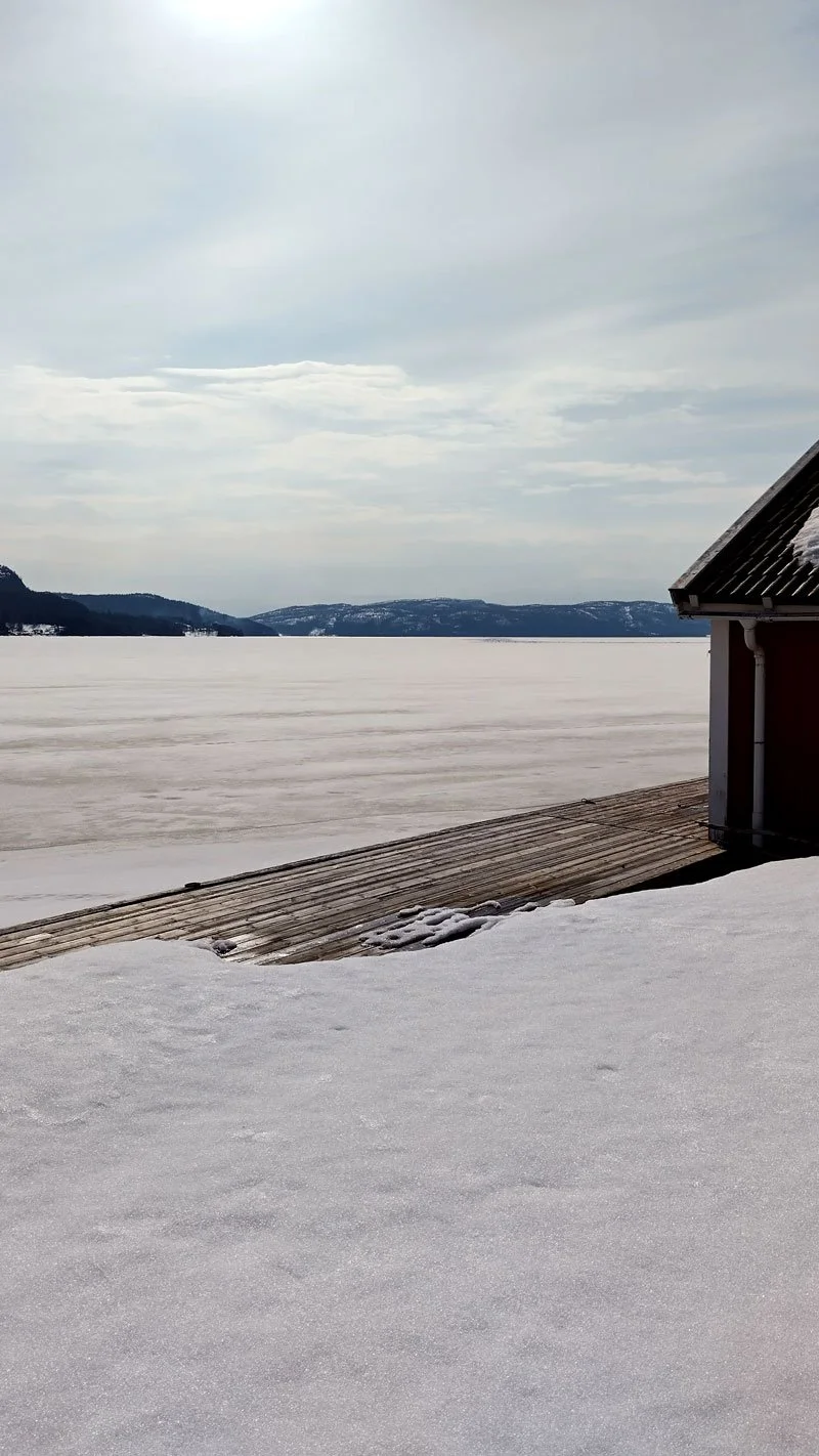
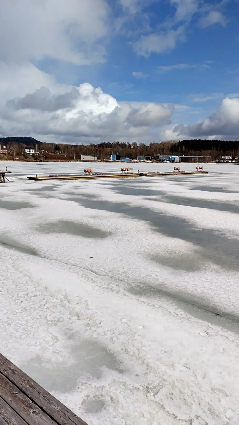
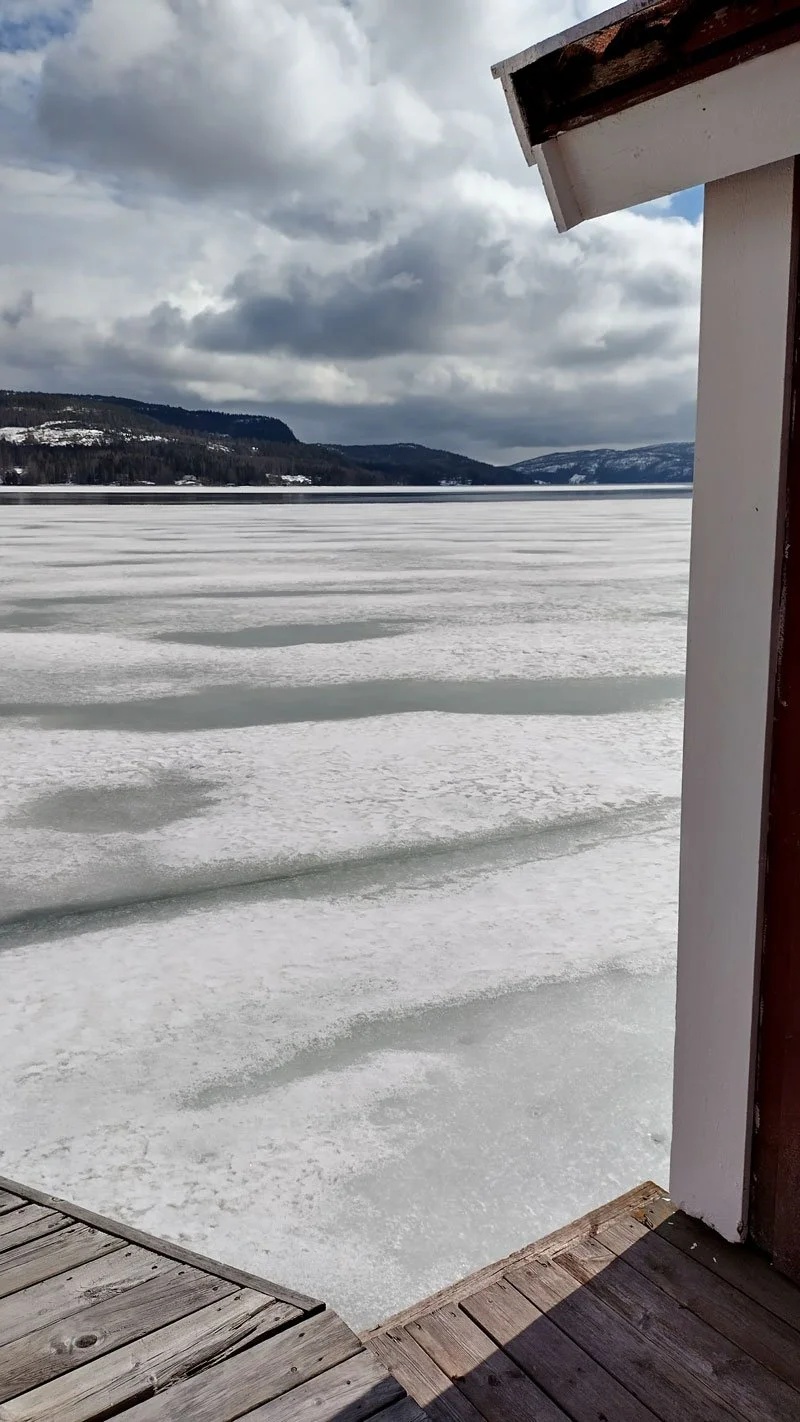
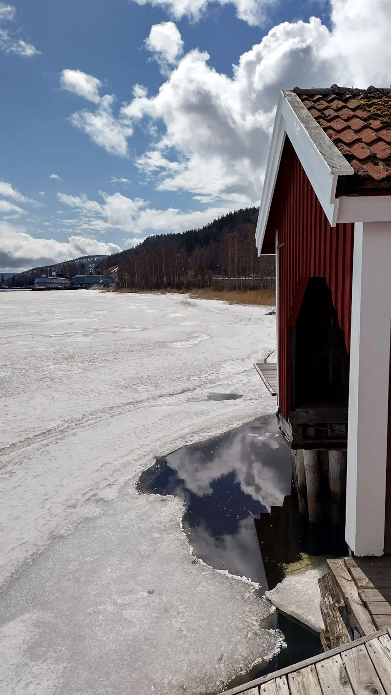
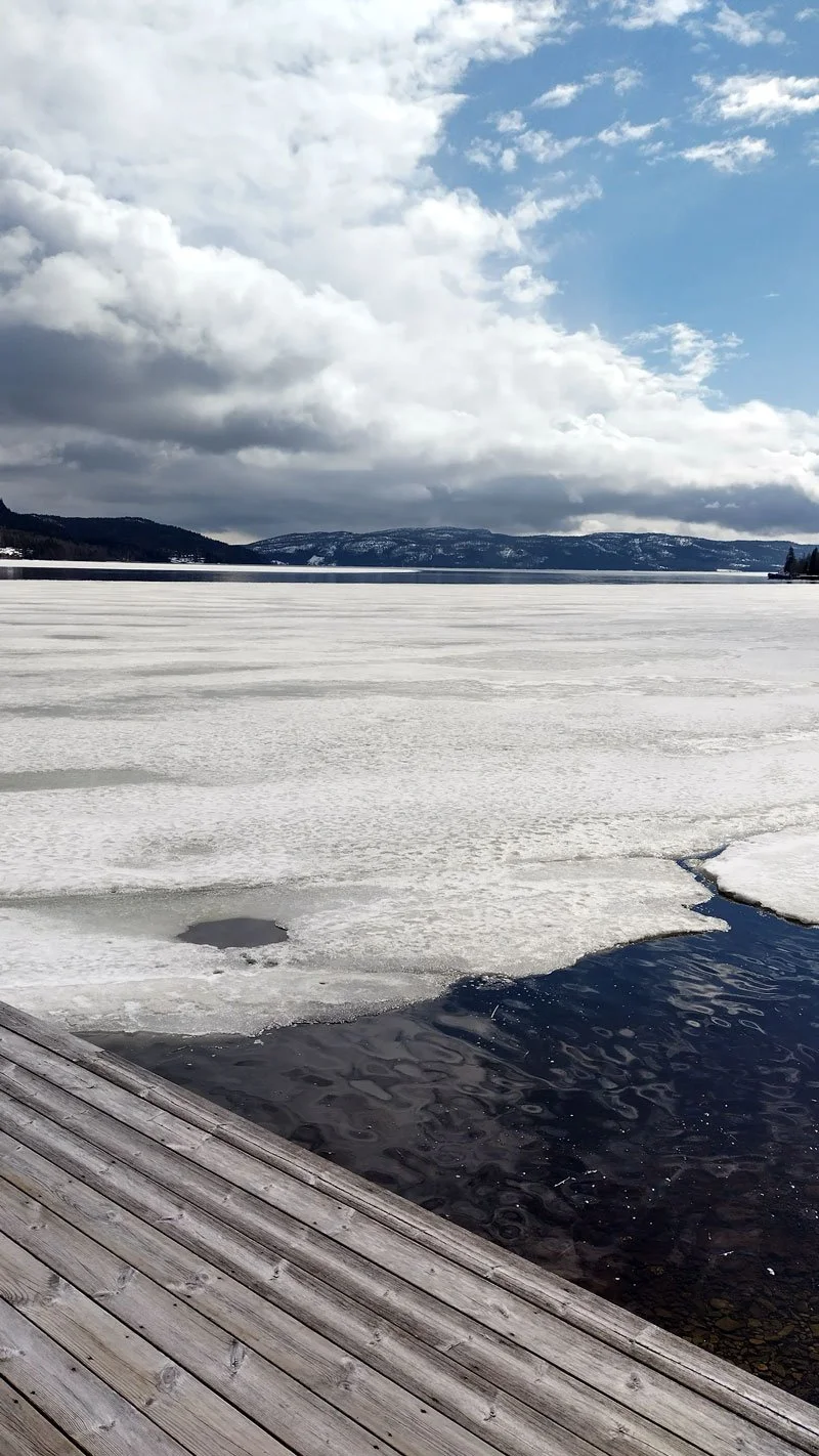
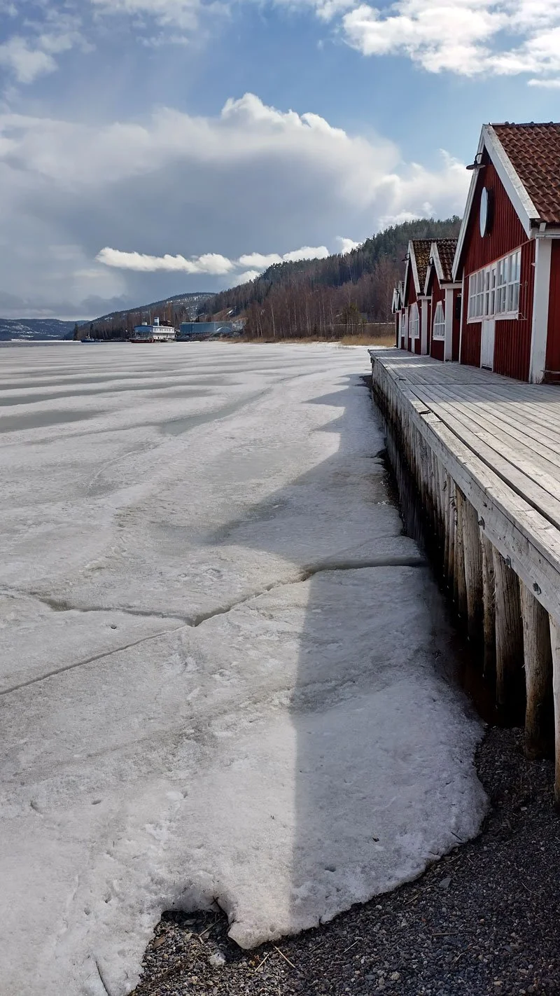
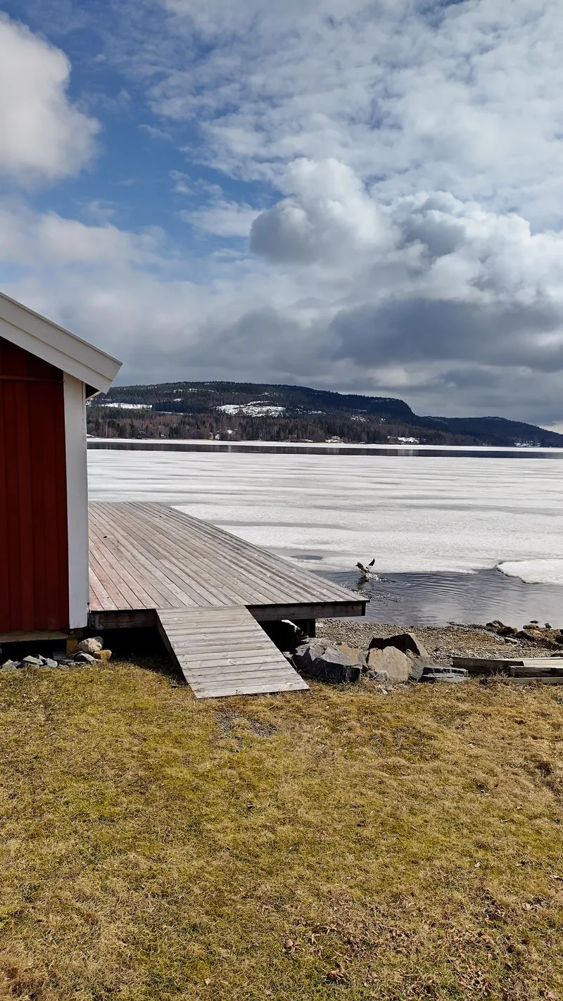
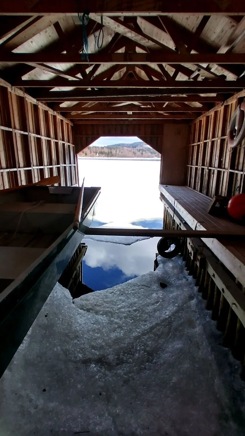
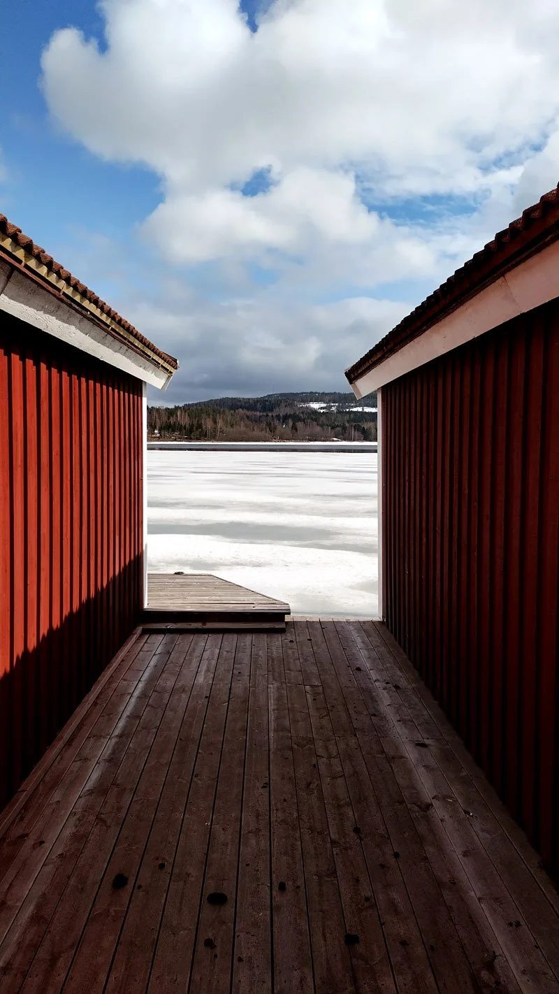
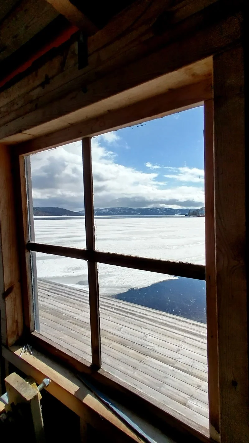
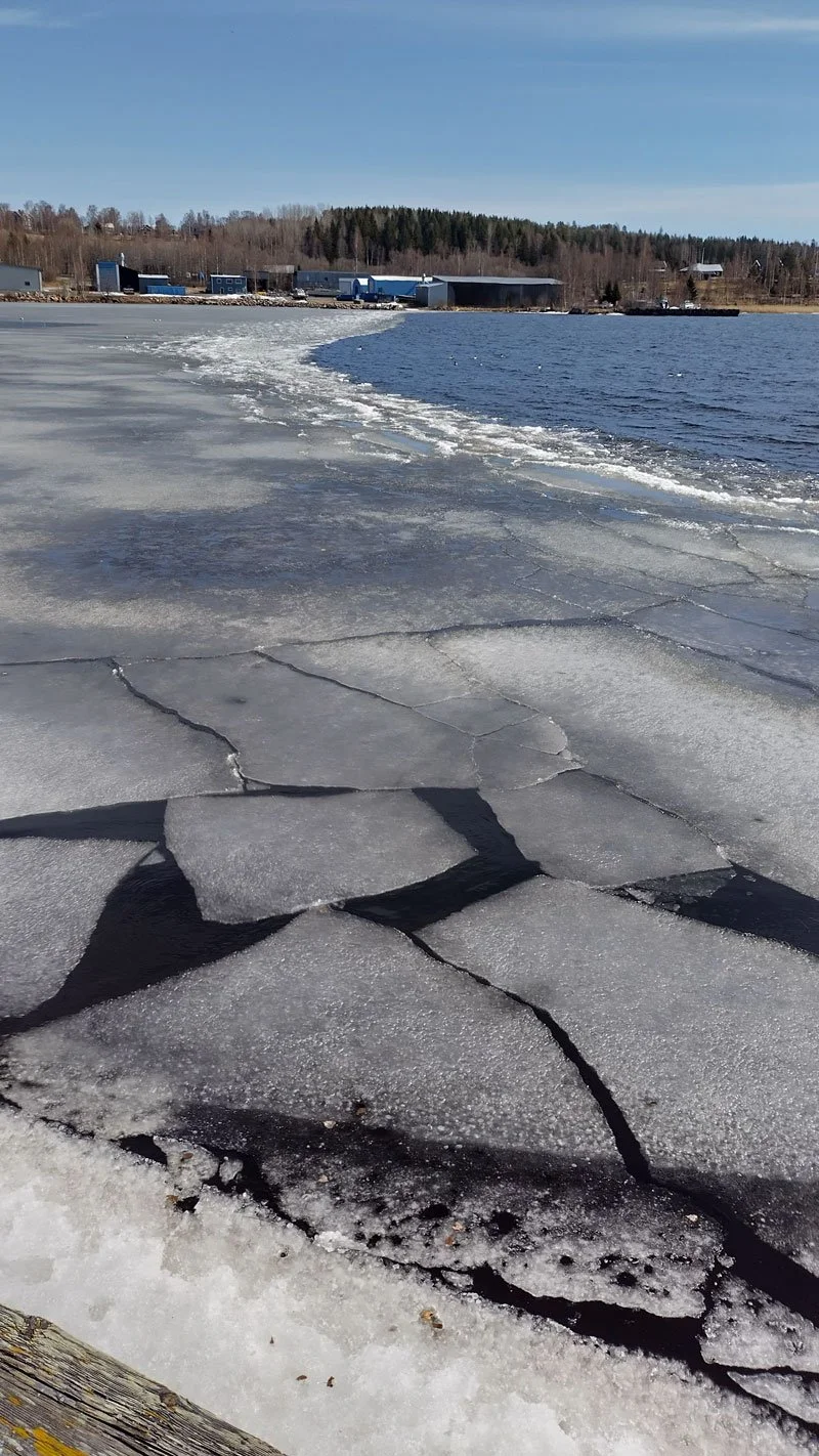
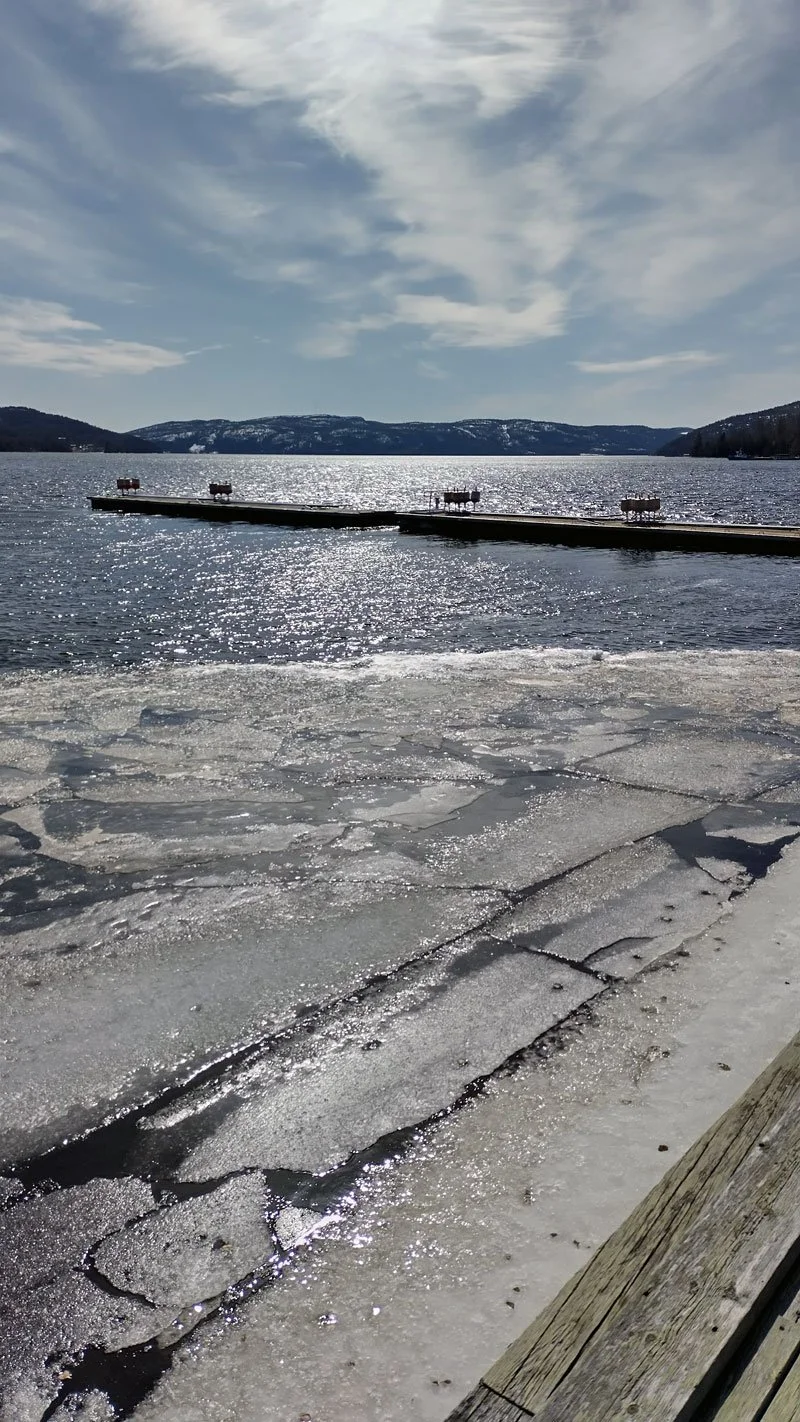
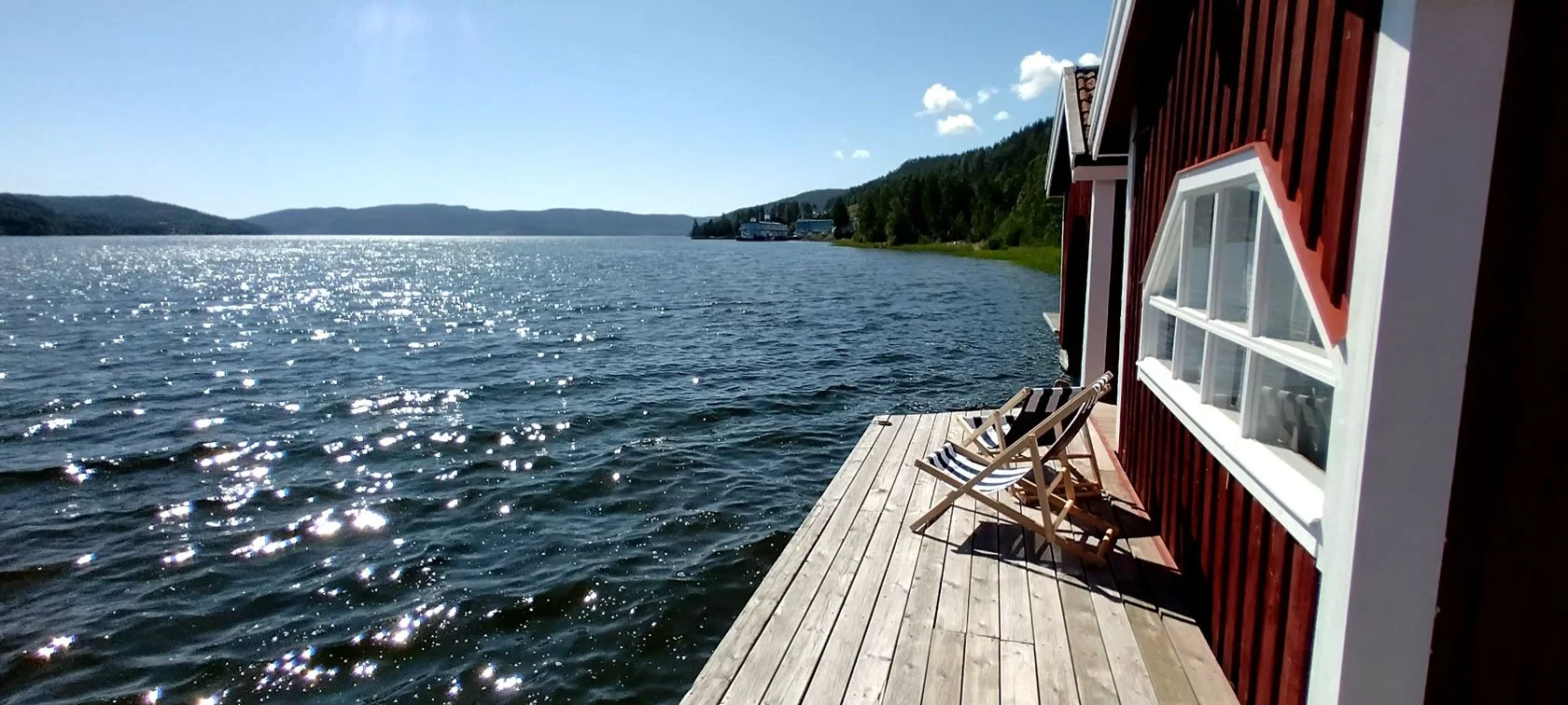
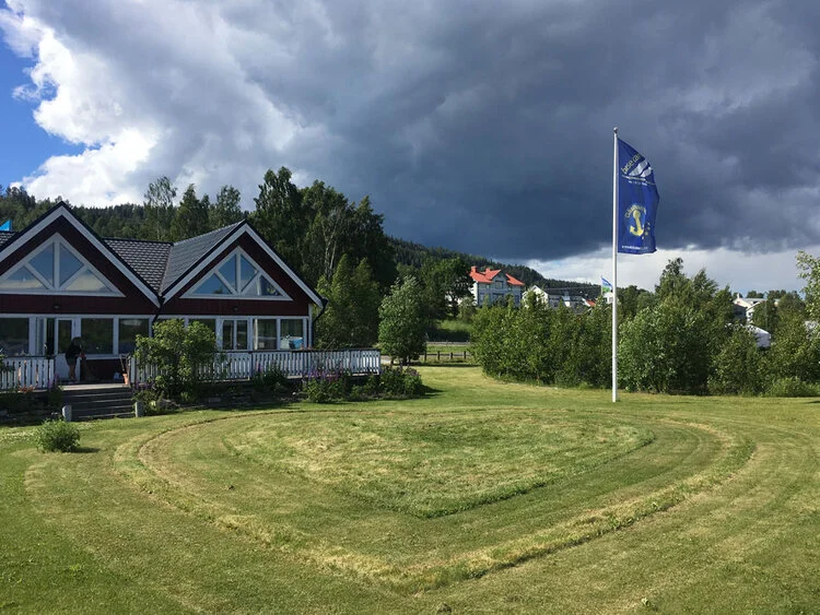
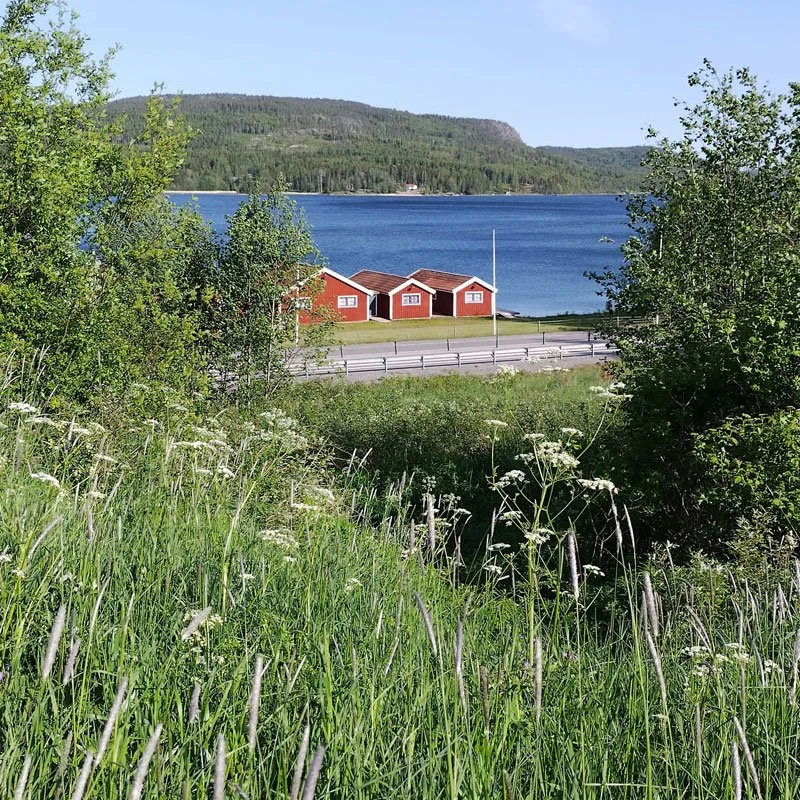
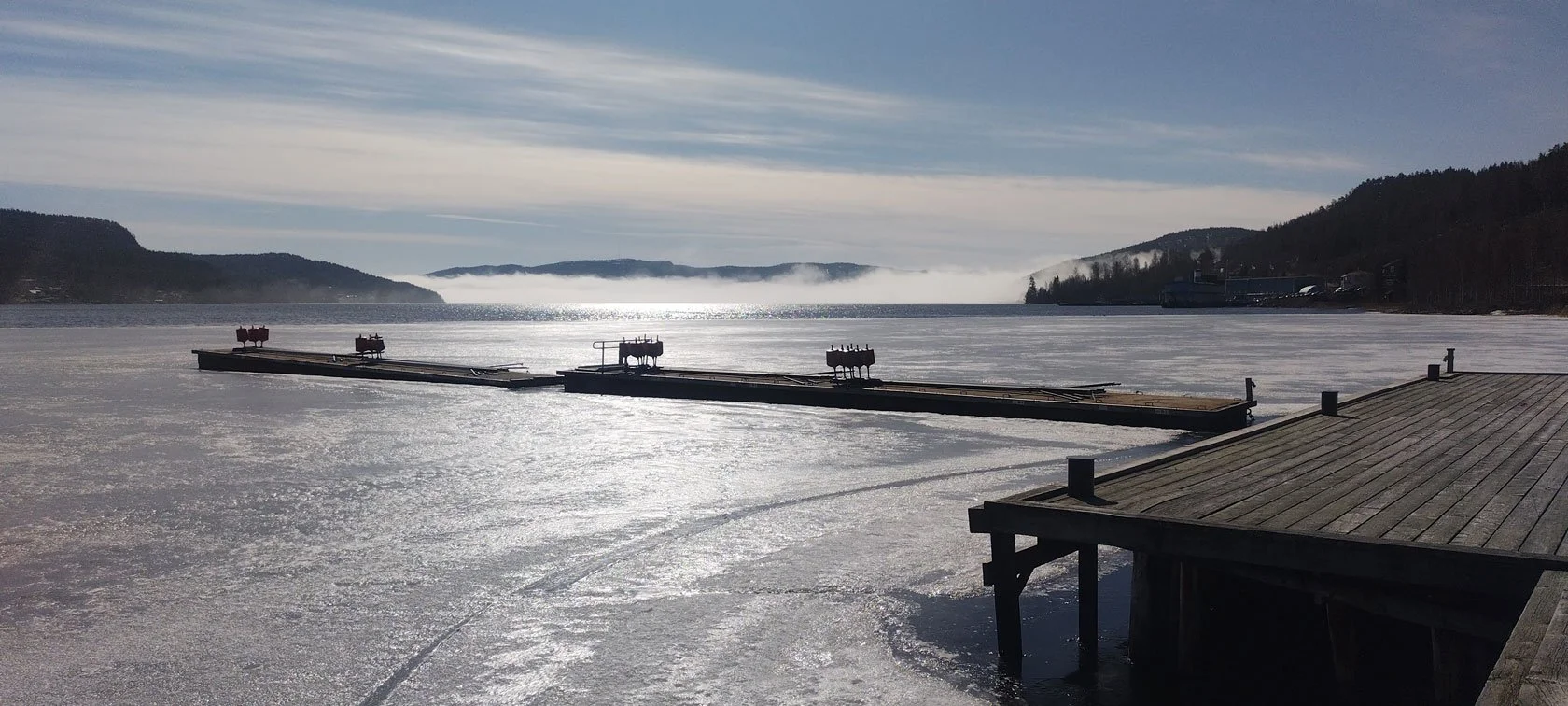
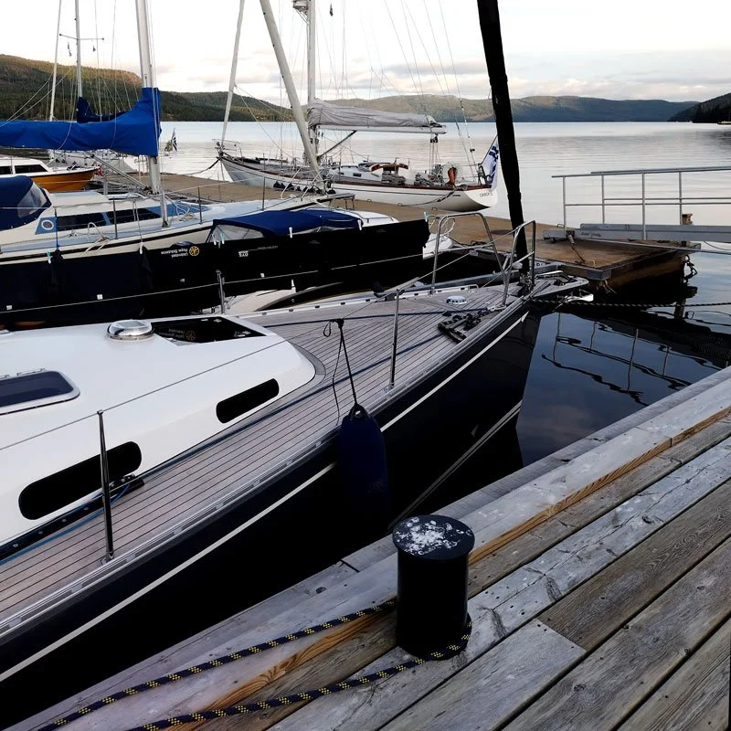
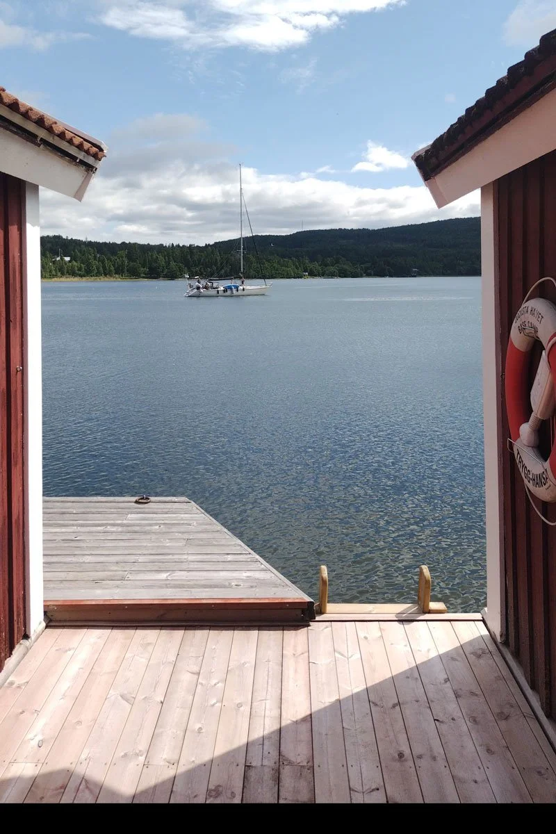
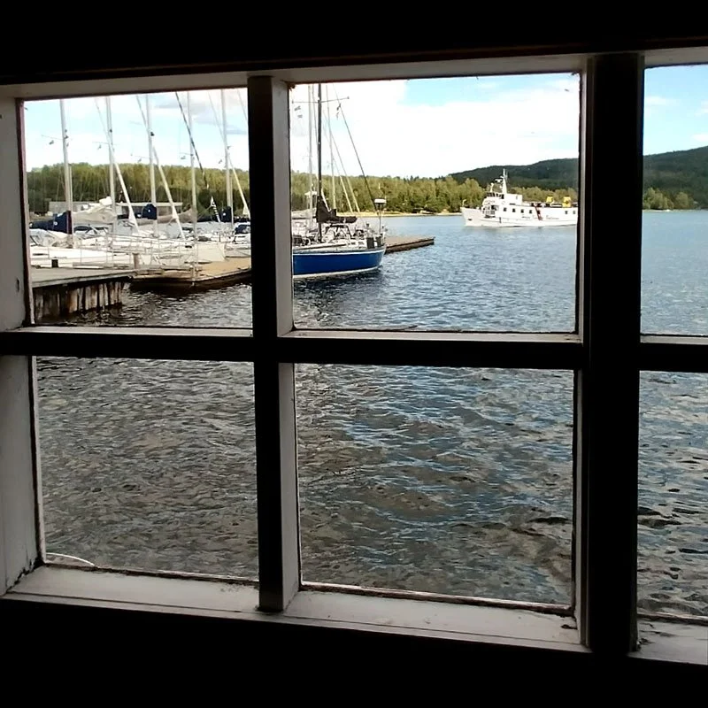
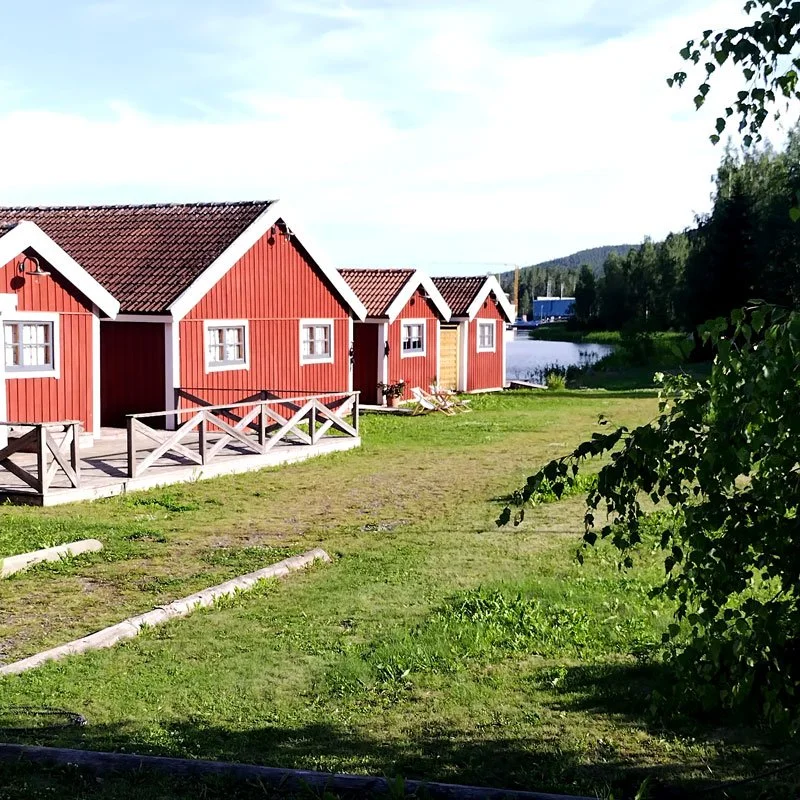
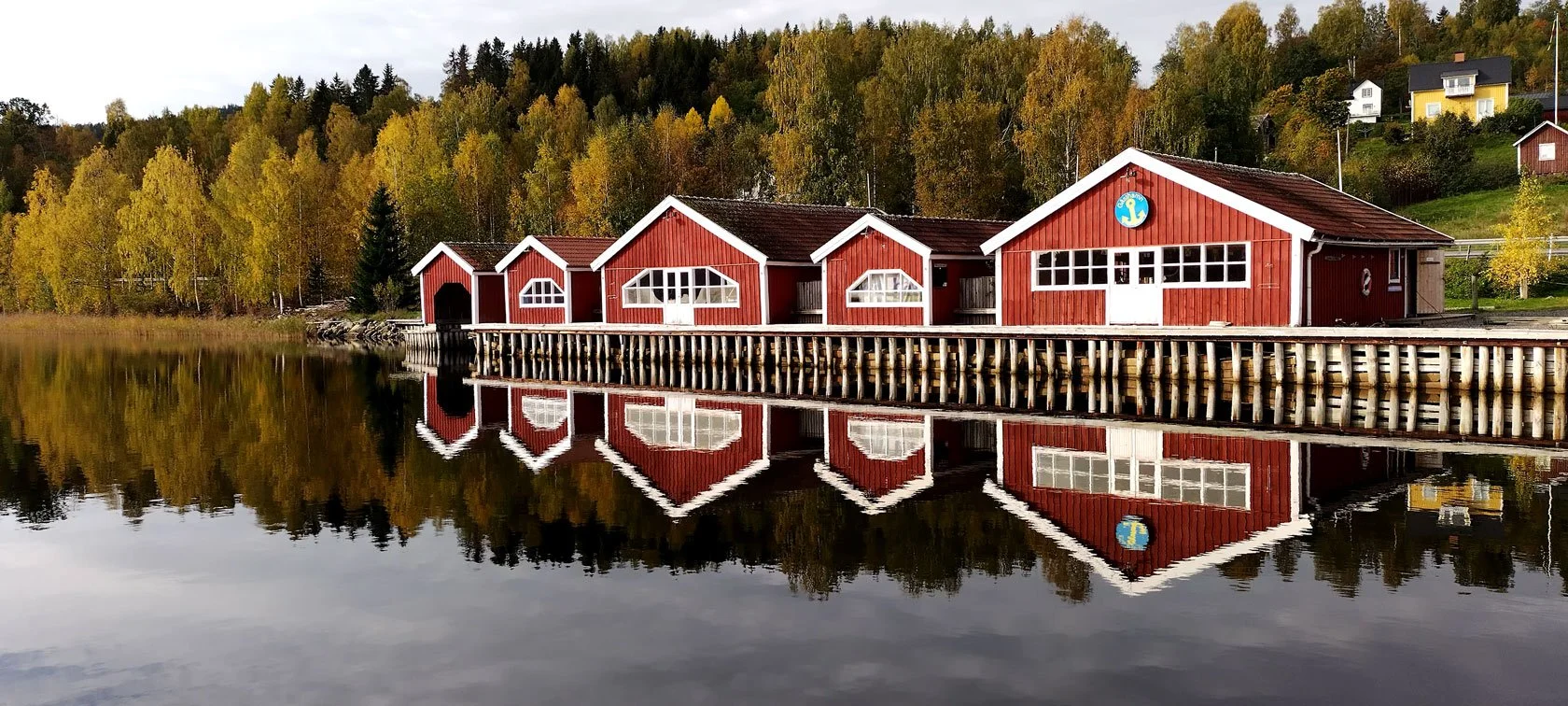
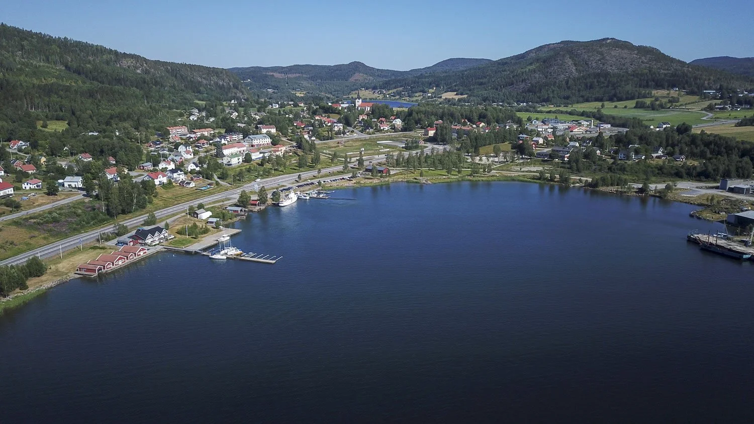
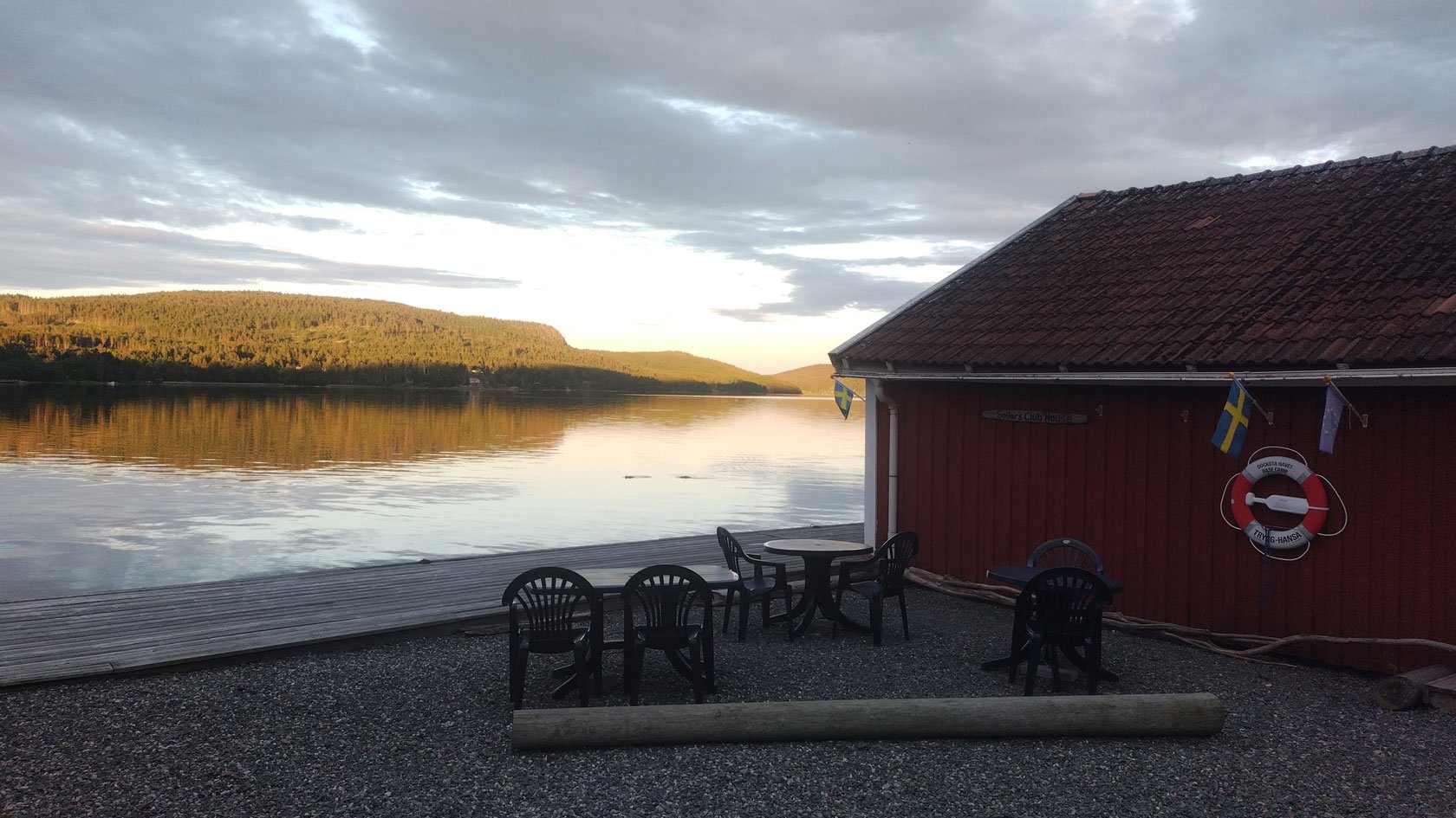
Why the marina becomes a midnight-light viewpoint


There are places where you sleep.
And there are places where you watch the day change.
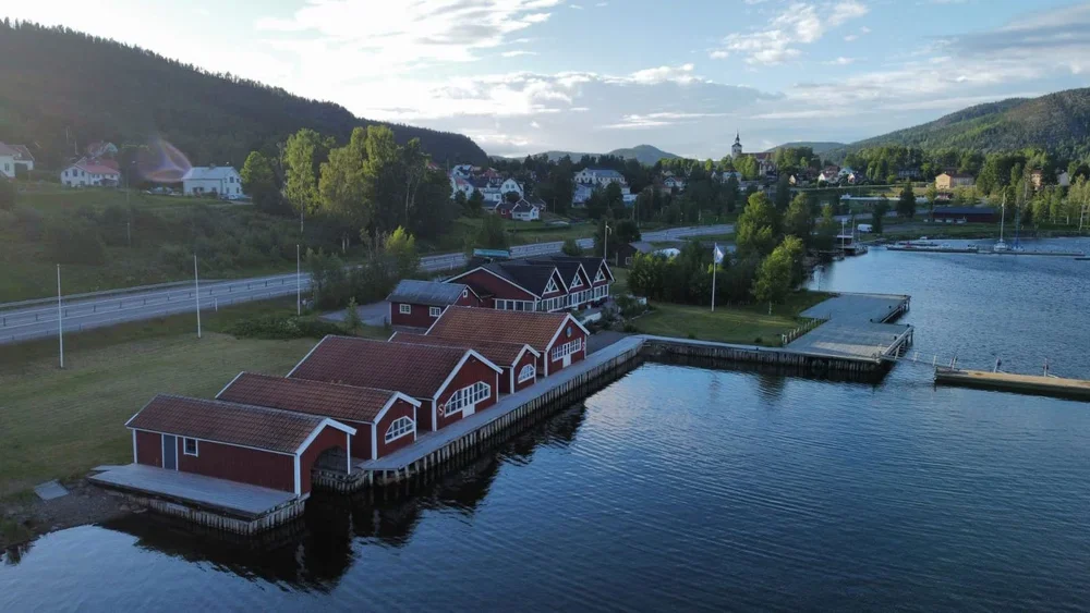
In late June, our piers in Docksta become a small viewing platform for the High Coast’s best show:
Water reflections amplify the colour
The horizon stays open, so the light spreads
The whole harbour quiets down — and the landscape feels almost staged
This is one of those experiences that doesn’t look like a “big attraction” on Google. But it becomes one of the memories people keep.
One small scene I love: guests who were “definitely going to bed early” end up whispering on the dock like they’re in a cathedral — because the light is still there, and the whole harbour feels like it’s holding its breath.

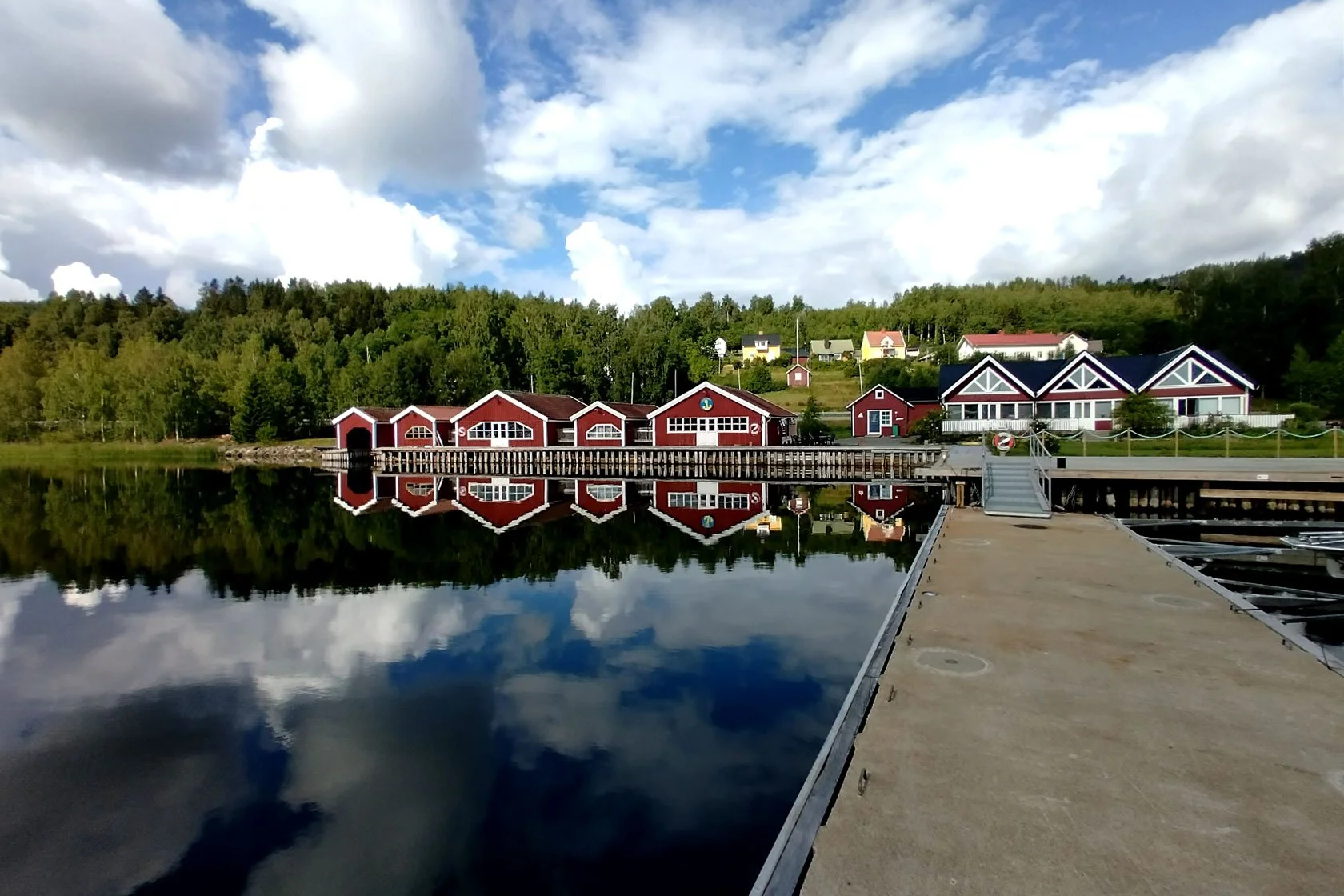
The Base Camp idea (and why it matters at Midsommar)
A lot of visitors come to Höga Kusten with the same wish:
“We want one proper High Coast experience — but we don’t want to turn it into a logistics project.”
That’s exactly what a base camp is for.
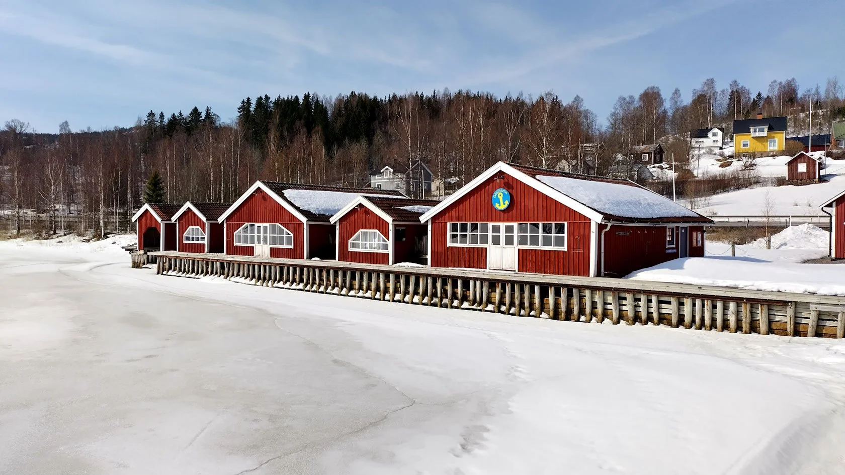
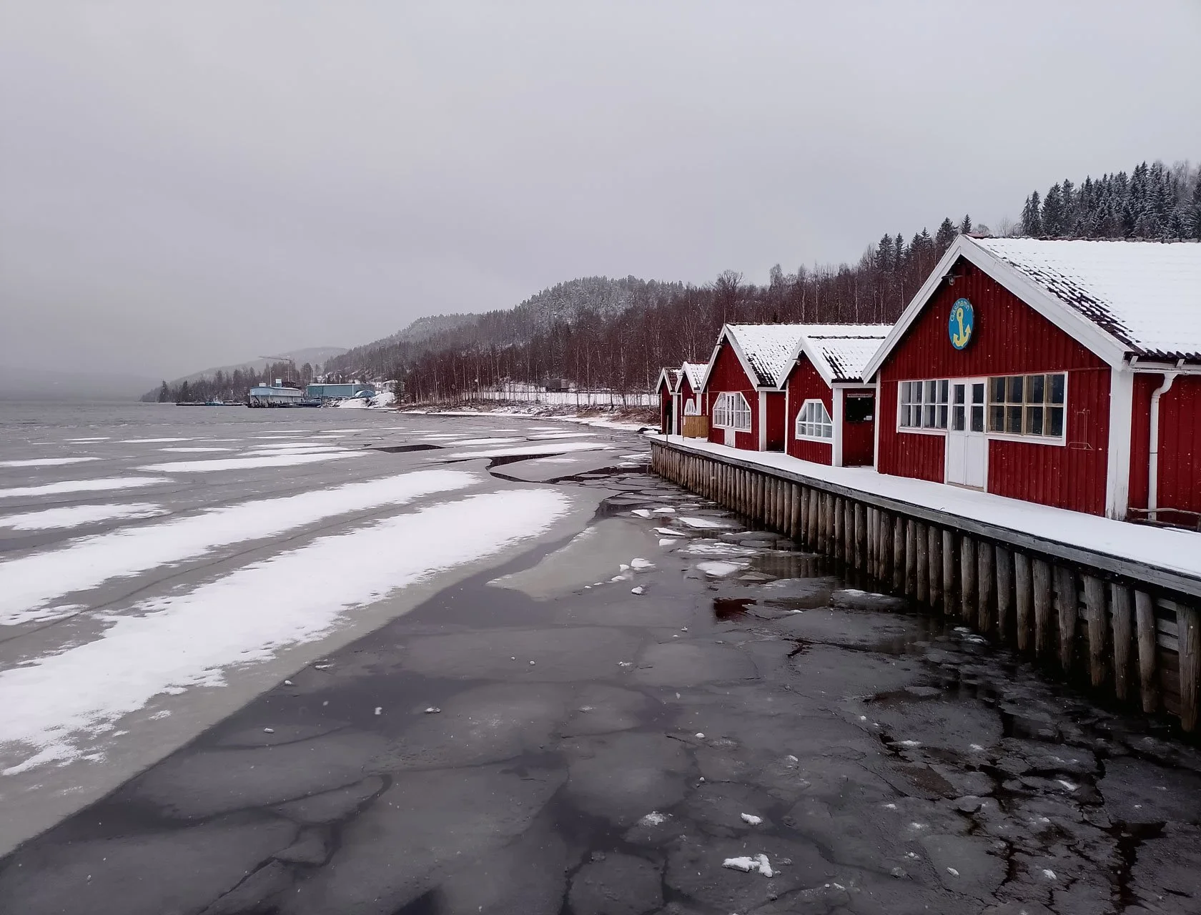
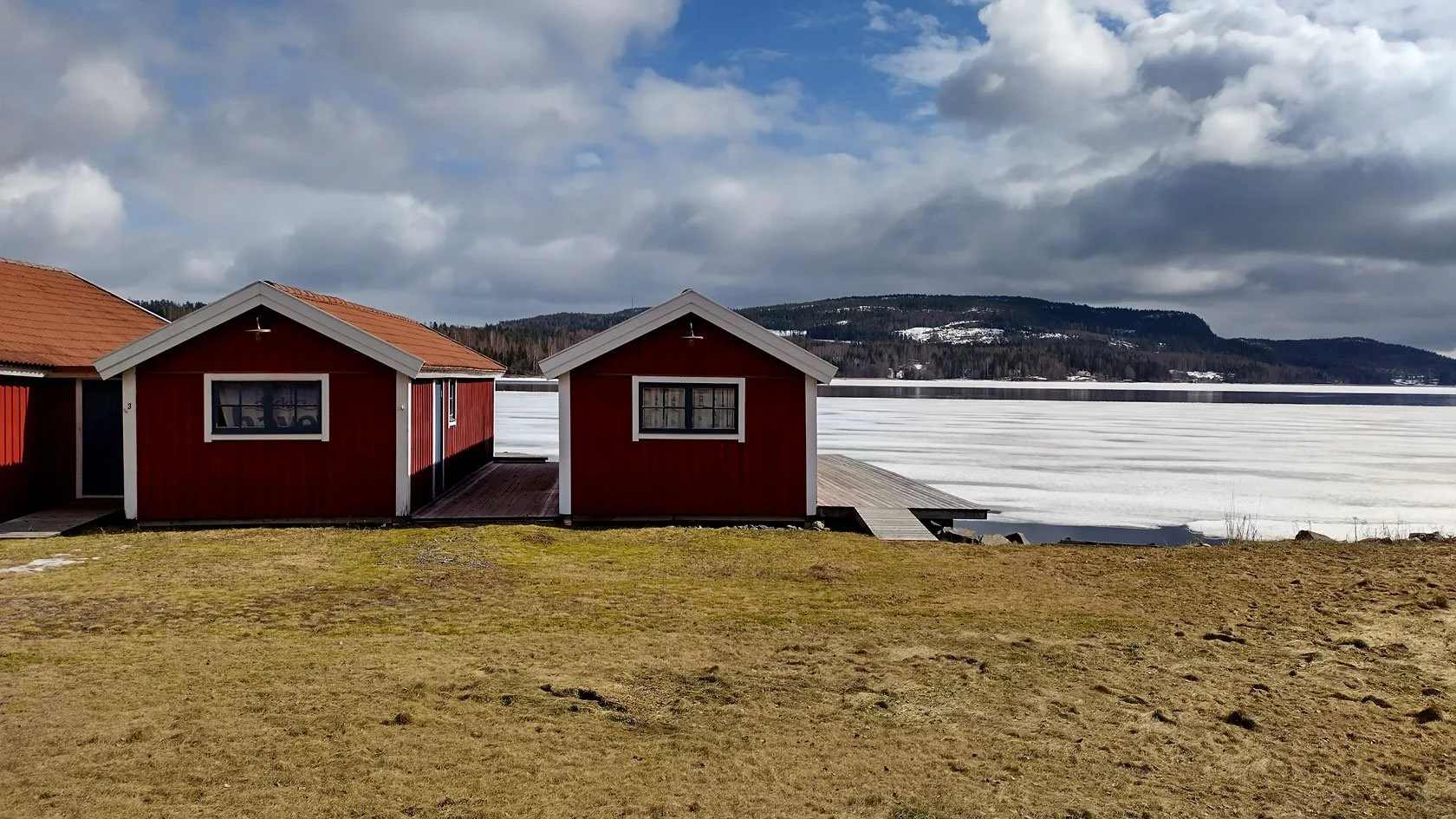
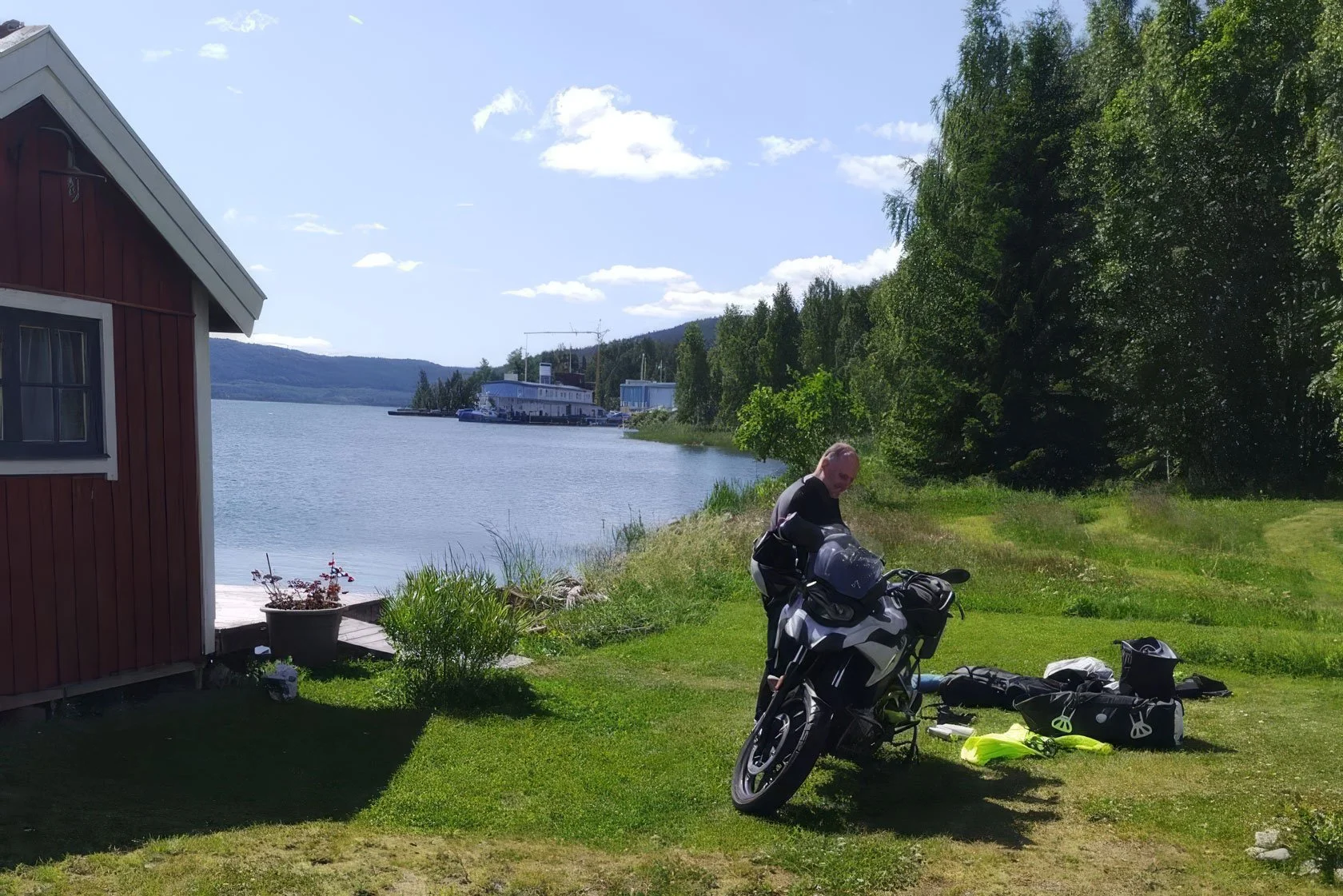
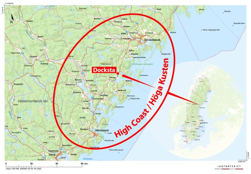
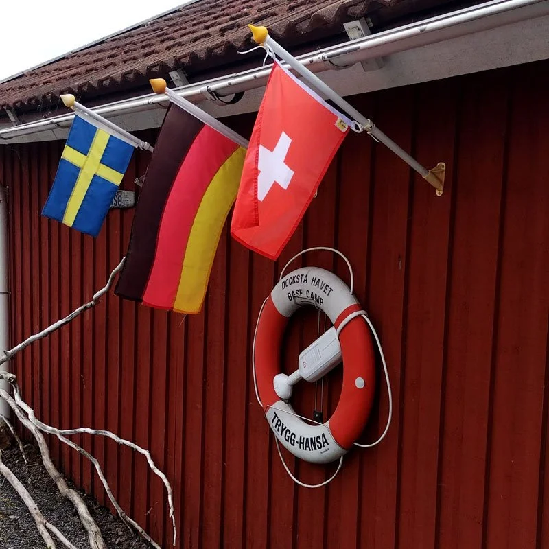
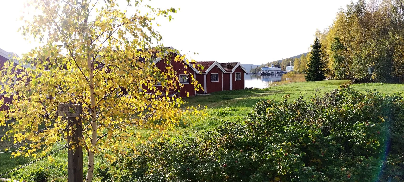
Docksta Havet Base Camp is a small marina + waterfront stays where you can explore both sea and mountain with less friction:
Local guidance (routes, shortcuts, weather-based choices)
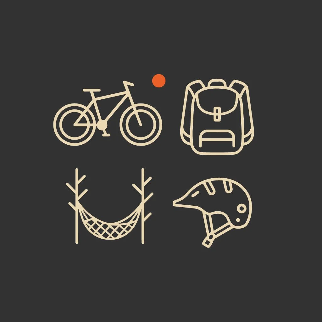
Grab&Go rentals (bike + simple kits)
A calm pier life that makes the long light feel like part of your holiday
If you like planning with a little help, you’ll love our free local resources too: Holiday in High Coast Sweden: free local guides in 5 languages
If you’re new to Swedish outdoor culture, this quick “Scan It” guide helps a lot: Friluftsliv in plain words (High Coast)
A simple 3-night Midsommar plan (Docksta Base Camp)
This is the plan I keep recommending to guests who arrive around Midsommar. Not because it’s the only way. But because it’s balanced: one anchor per day, one blank space, and the light doing half the work.
Night 1 (arrival day): check in, then go out after 18:00
You arrive in the late afternoon. You drop your bags. Maybe you take a shower. Maybe you drink an espresso anyway.
And then you do something that feels almost illegal if you come from the south: you go for a real hike after dinner.
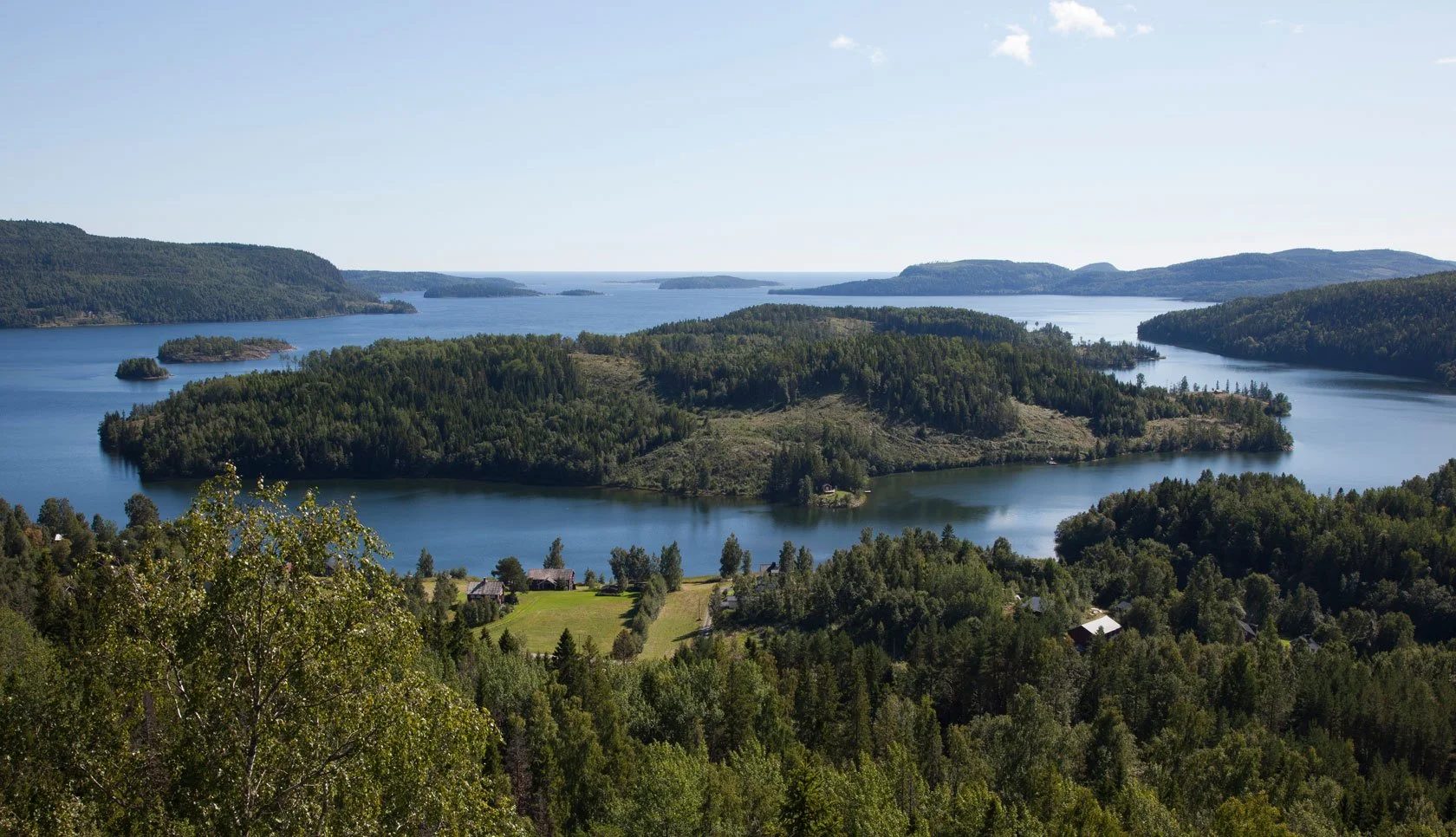
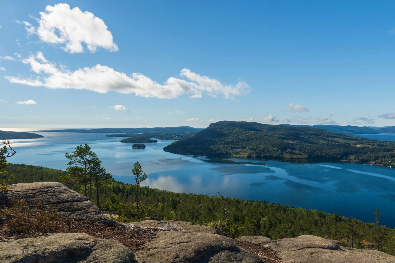
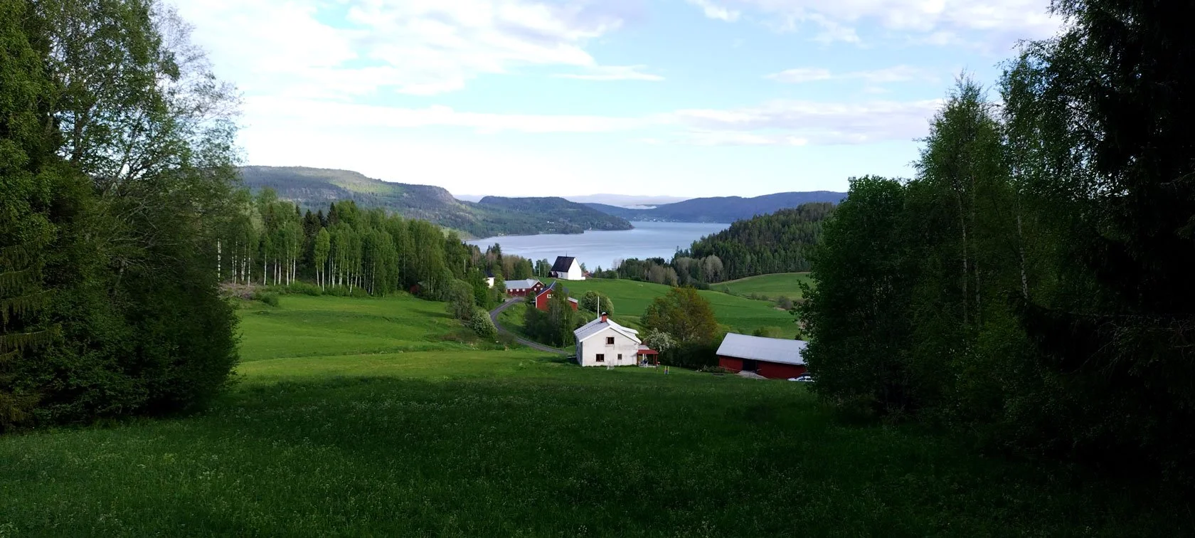
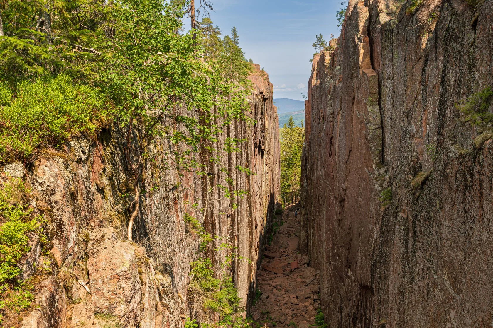
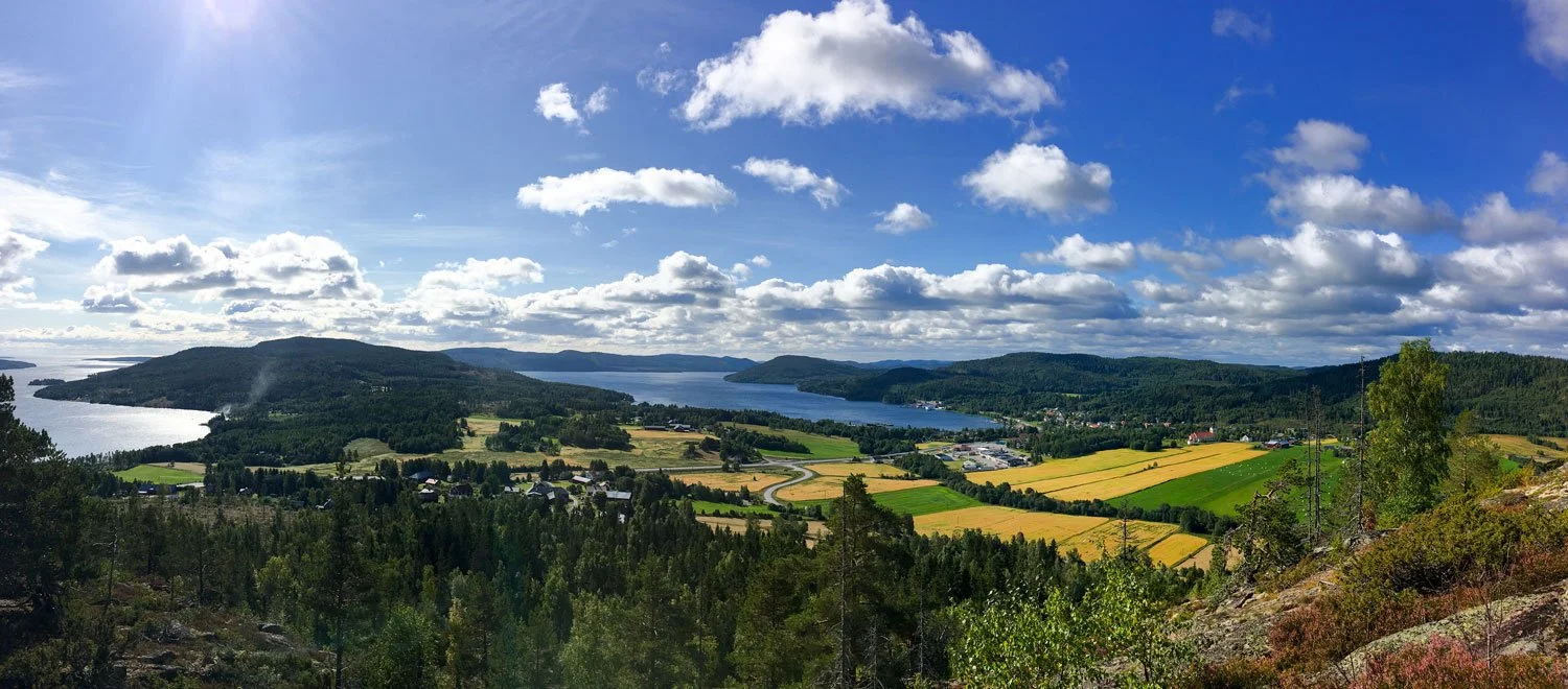
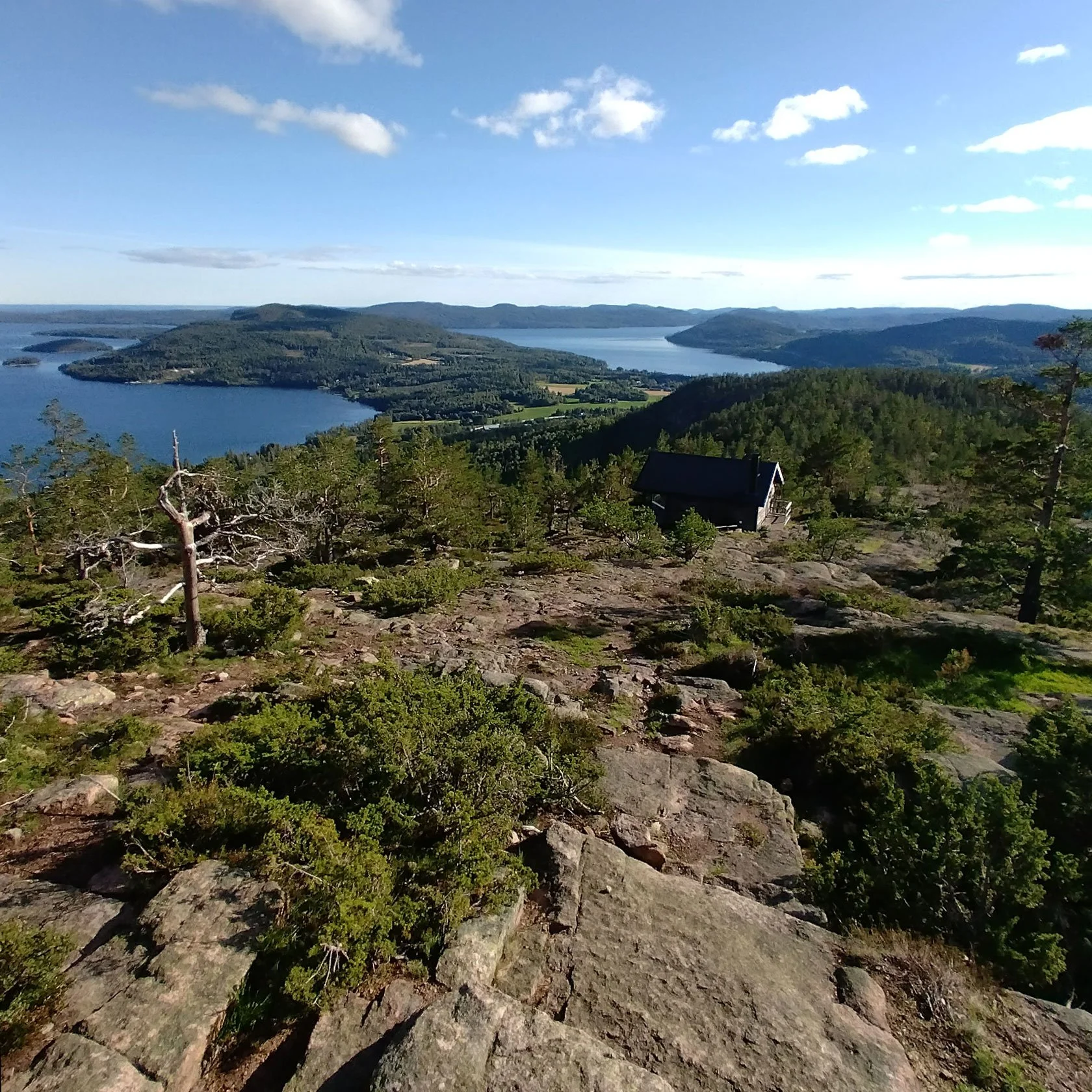
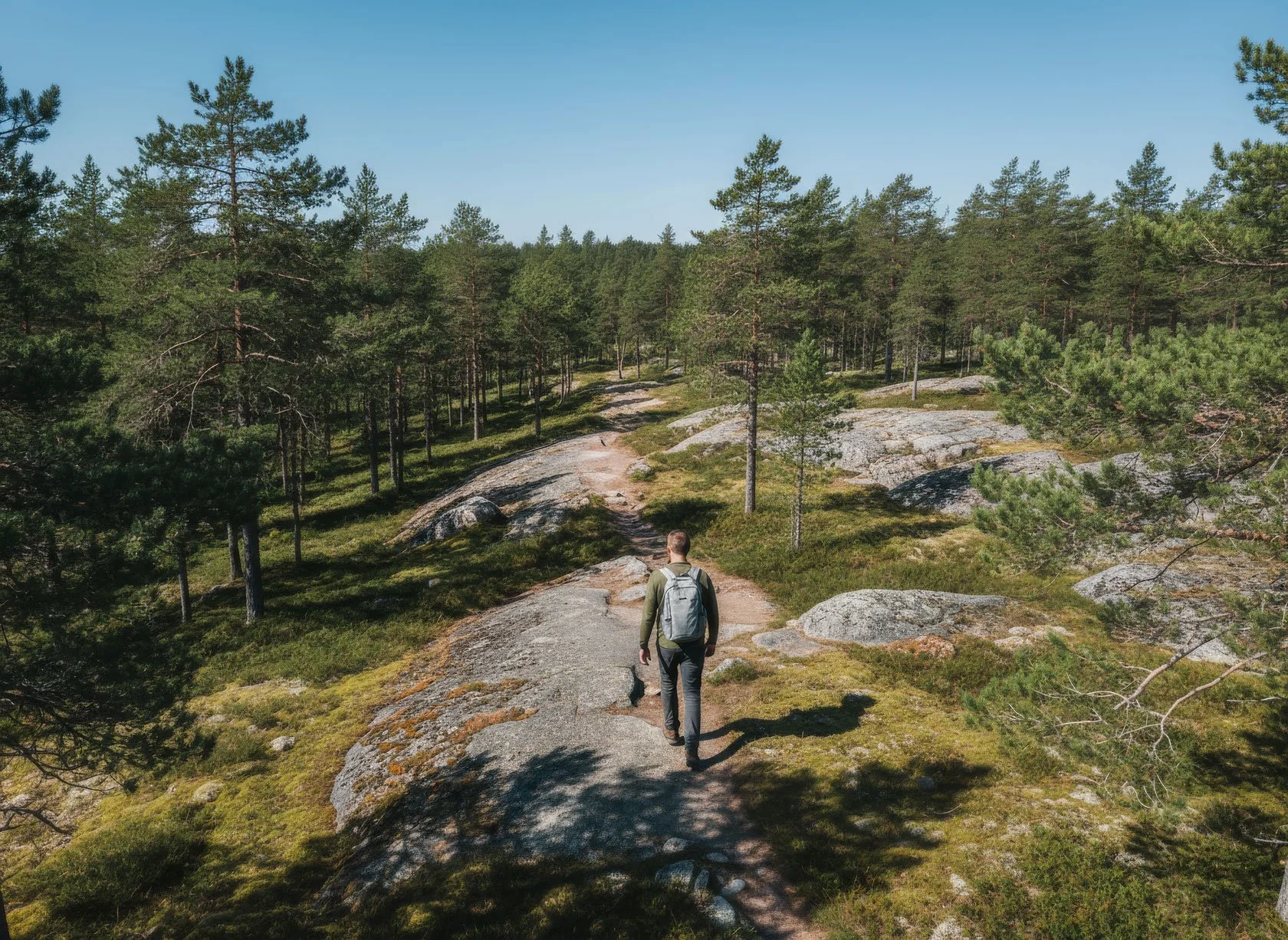
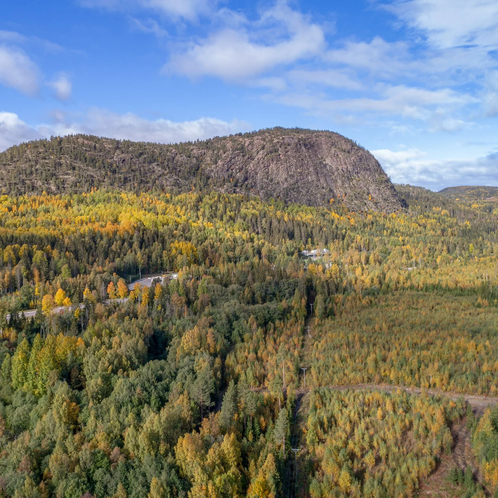
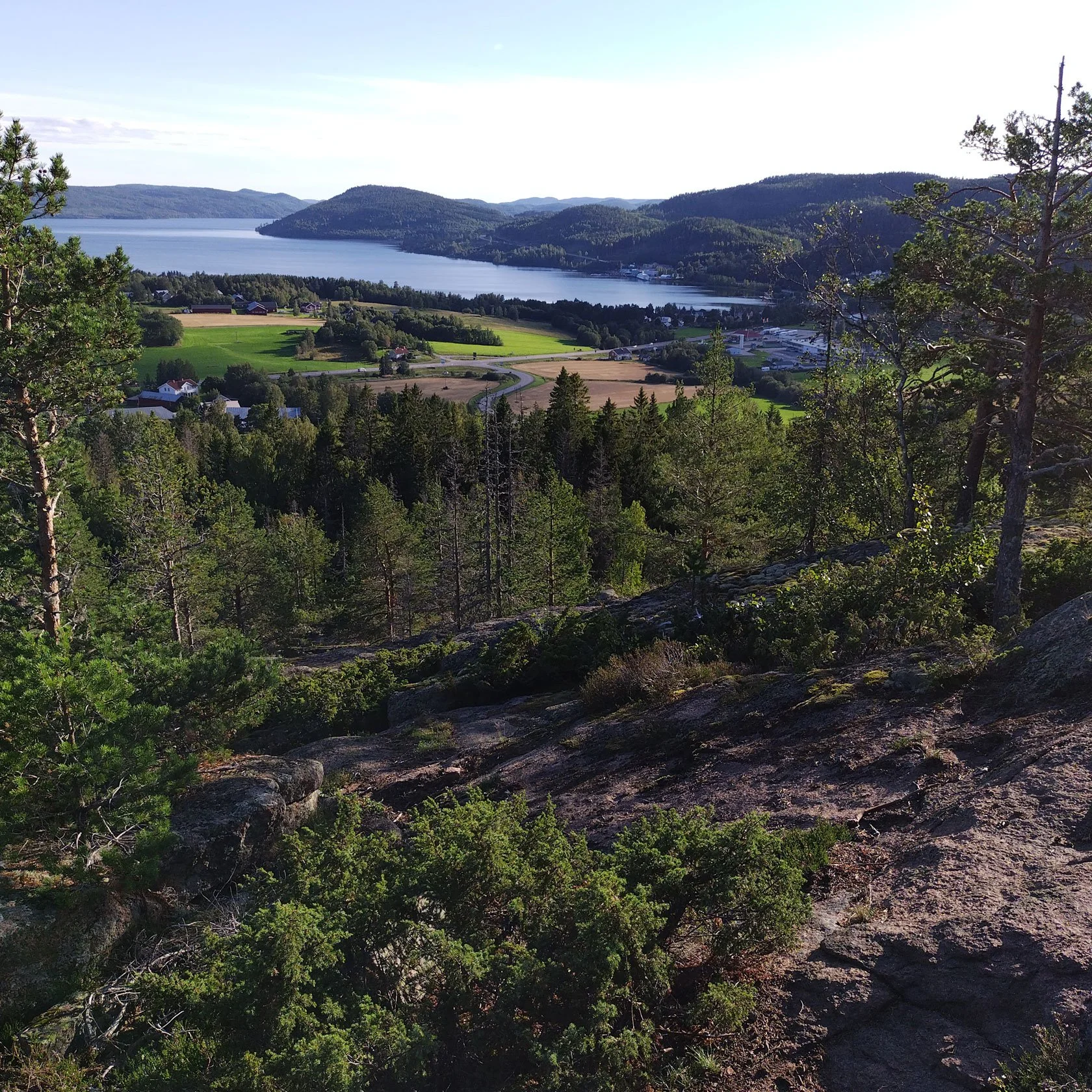
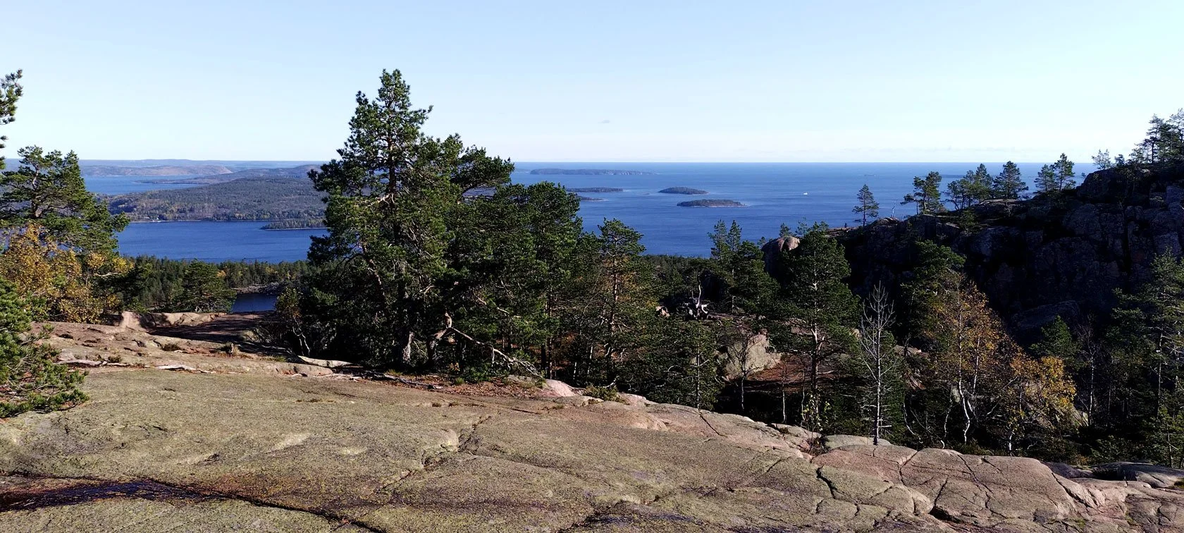
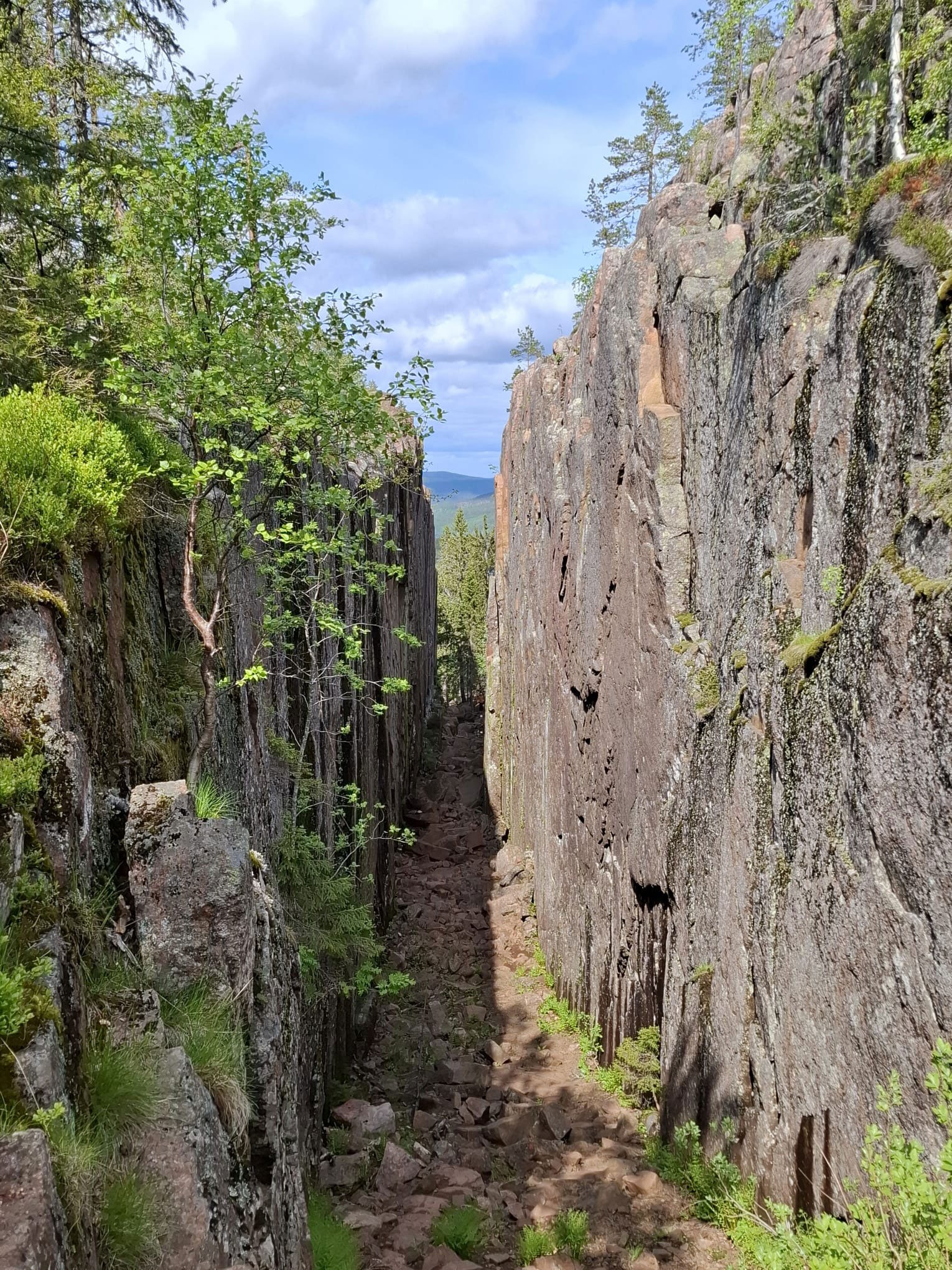
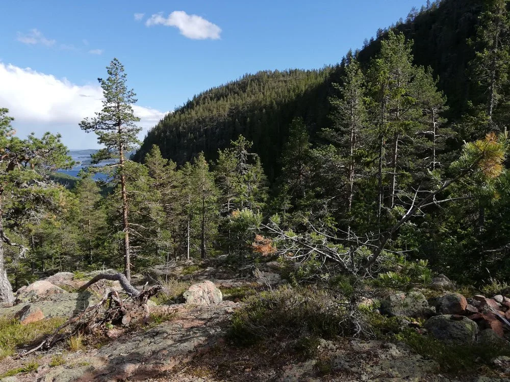
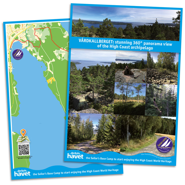
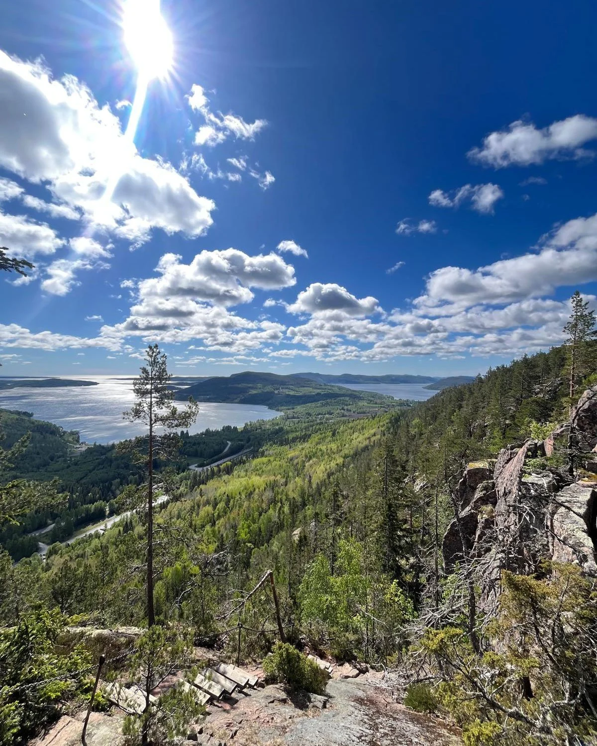
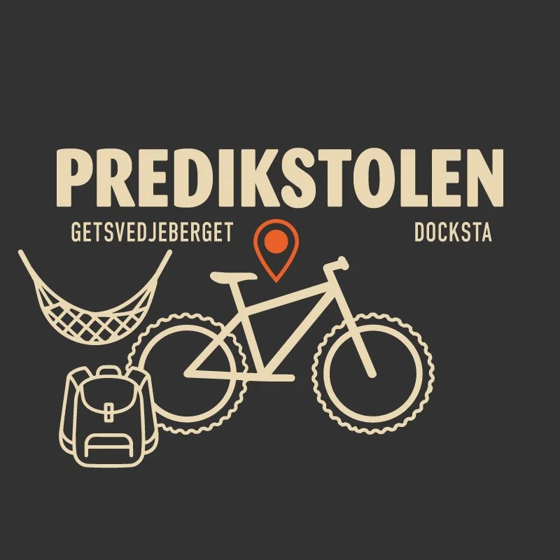
Skuleberget is the obvious choice for this first evening. It’s close, flexible, and it gives you that “High Coast wow” without needing a full day.


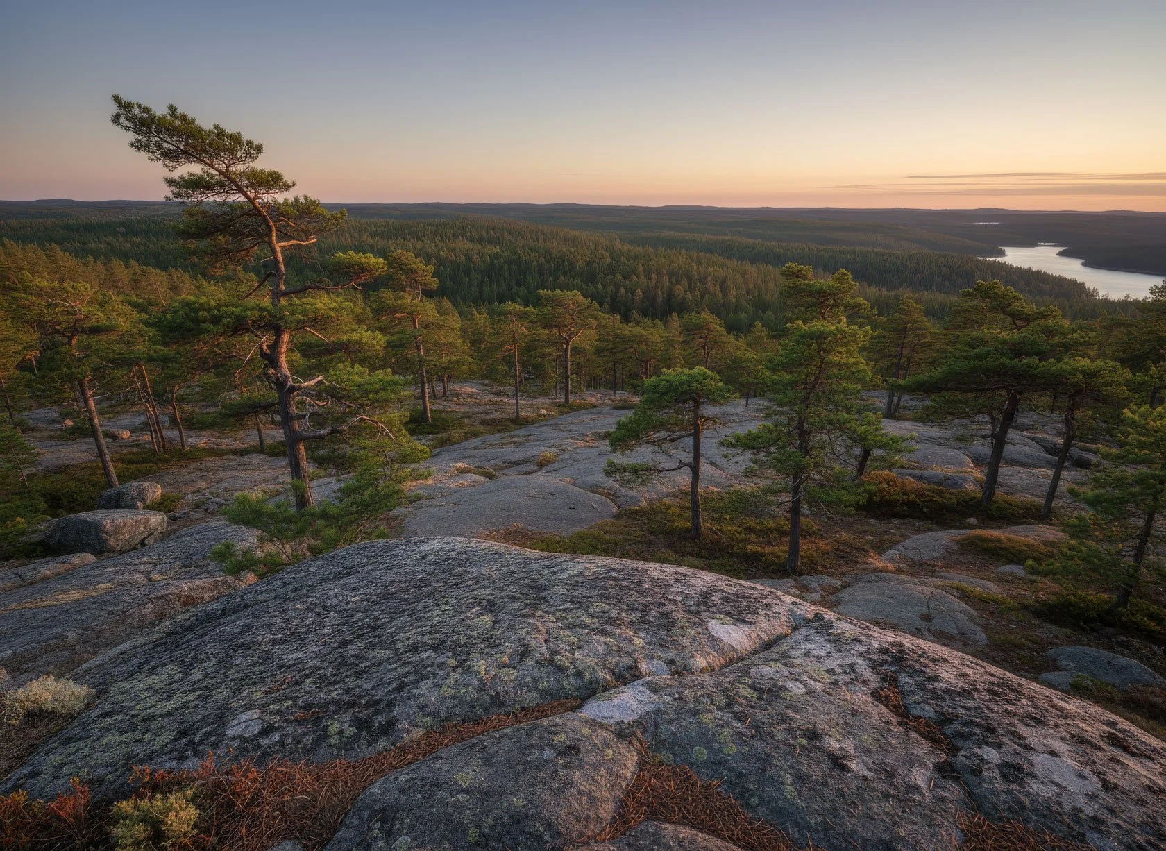
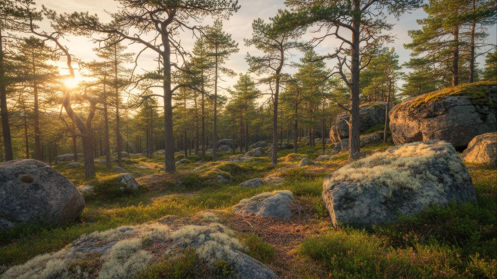
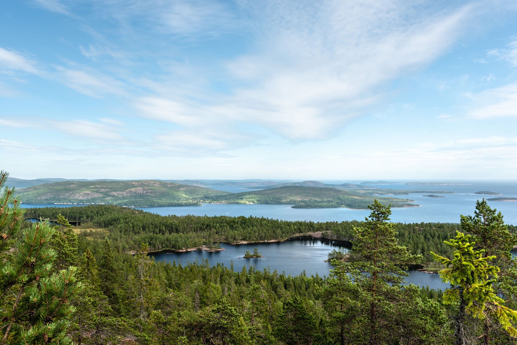
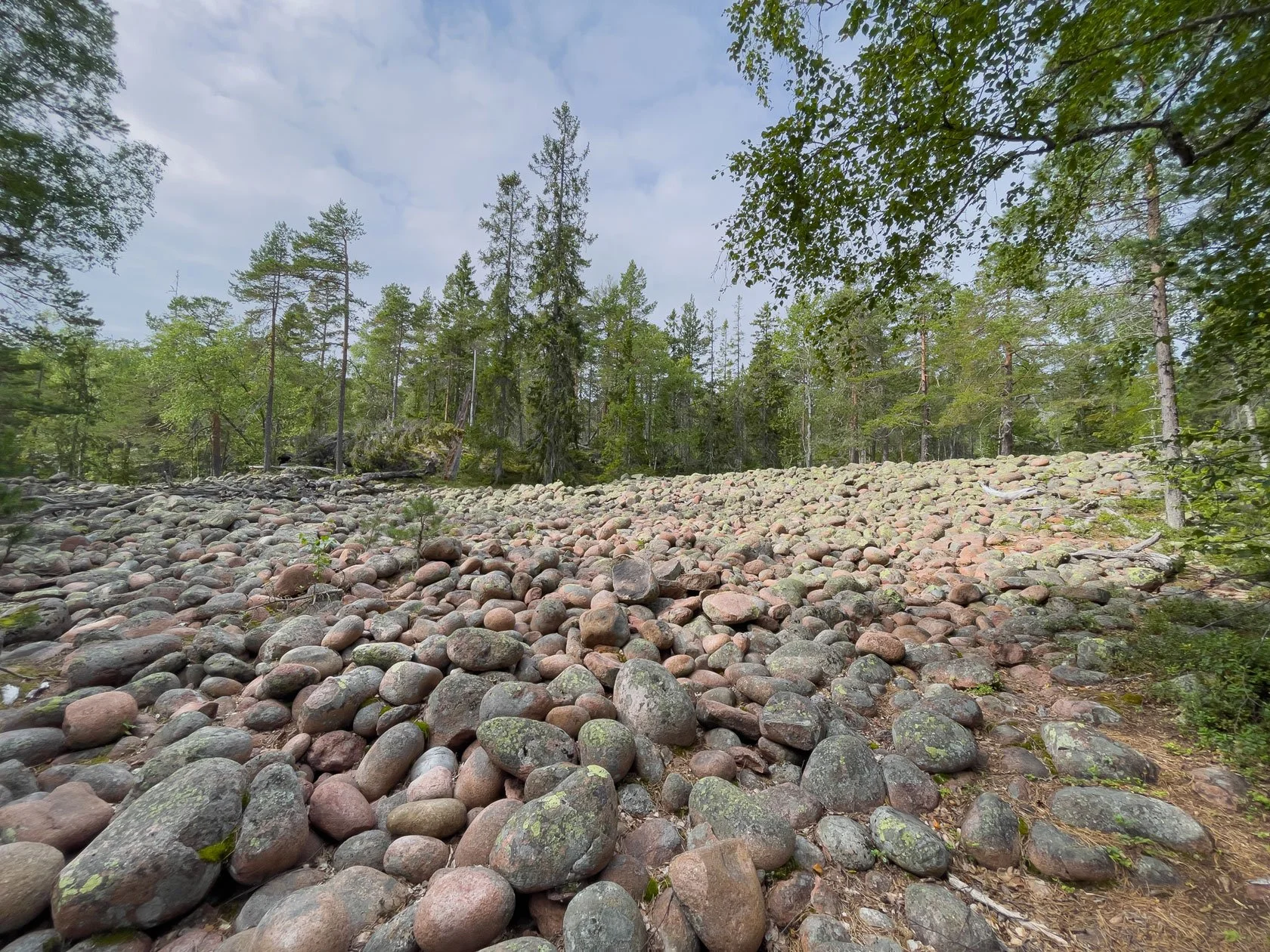
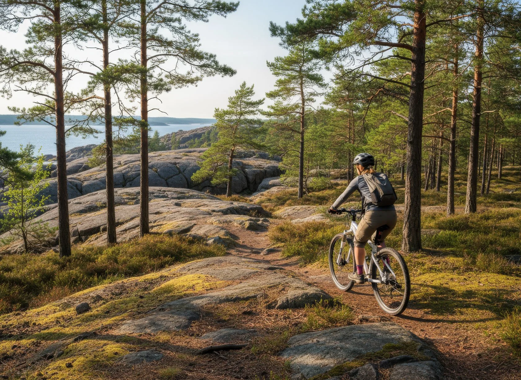
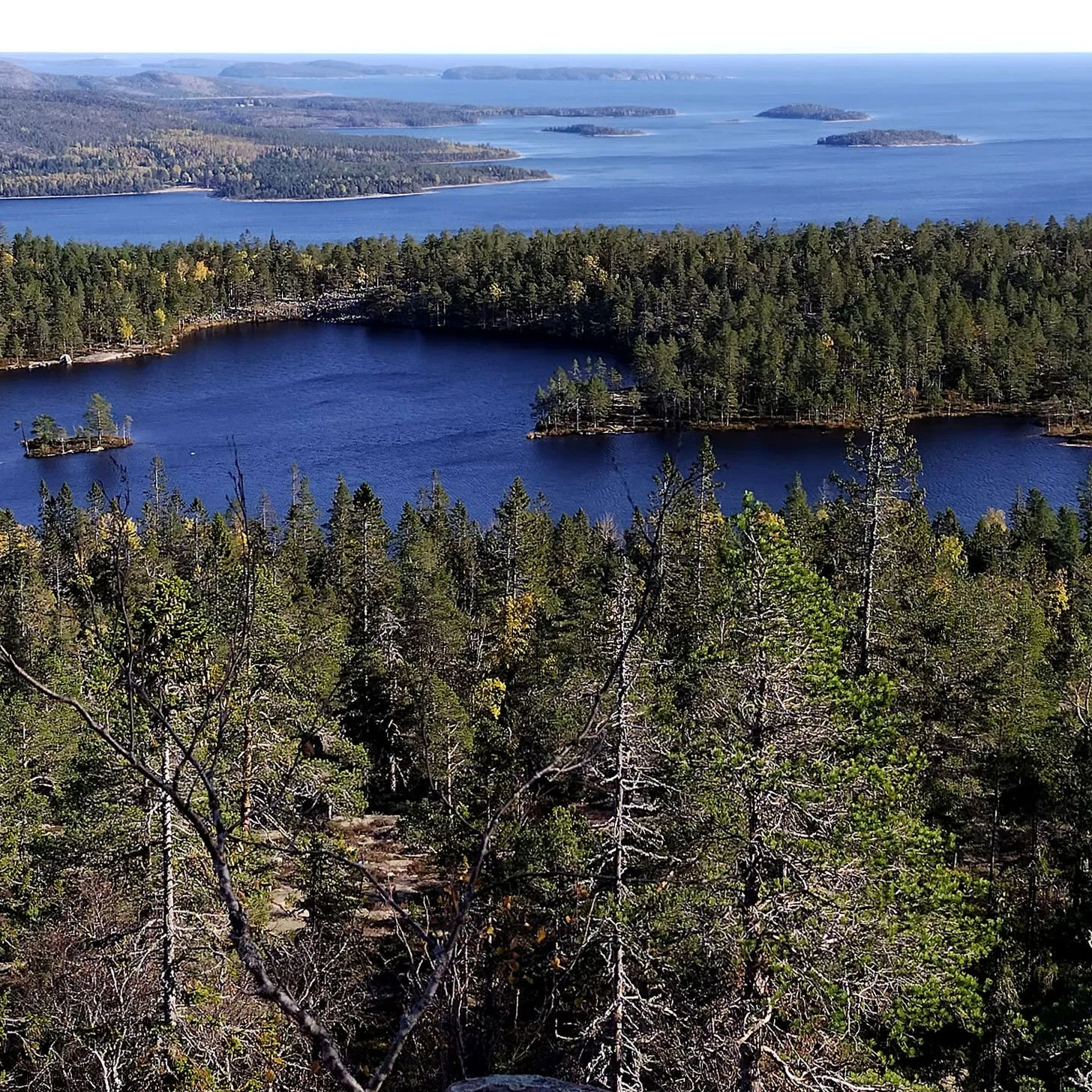
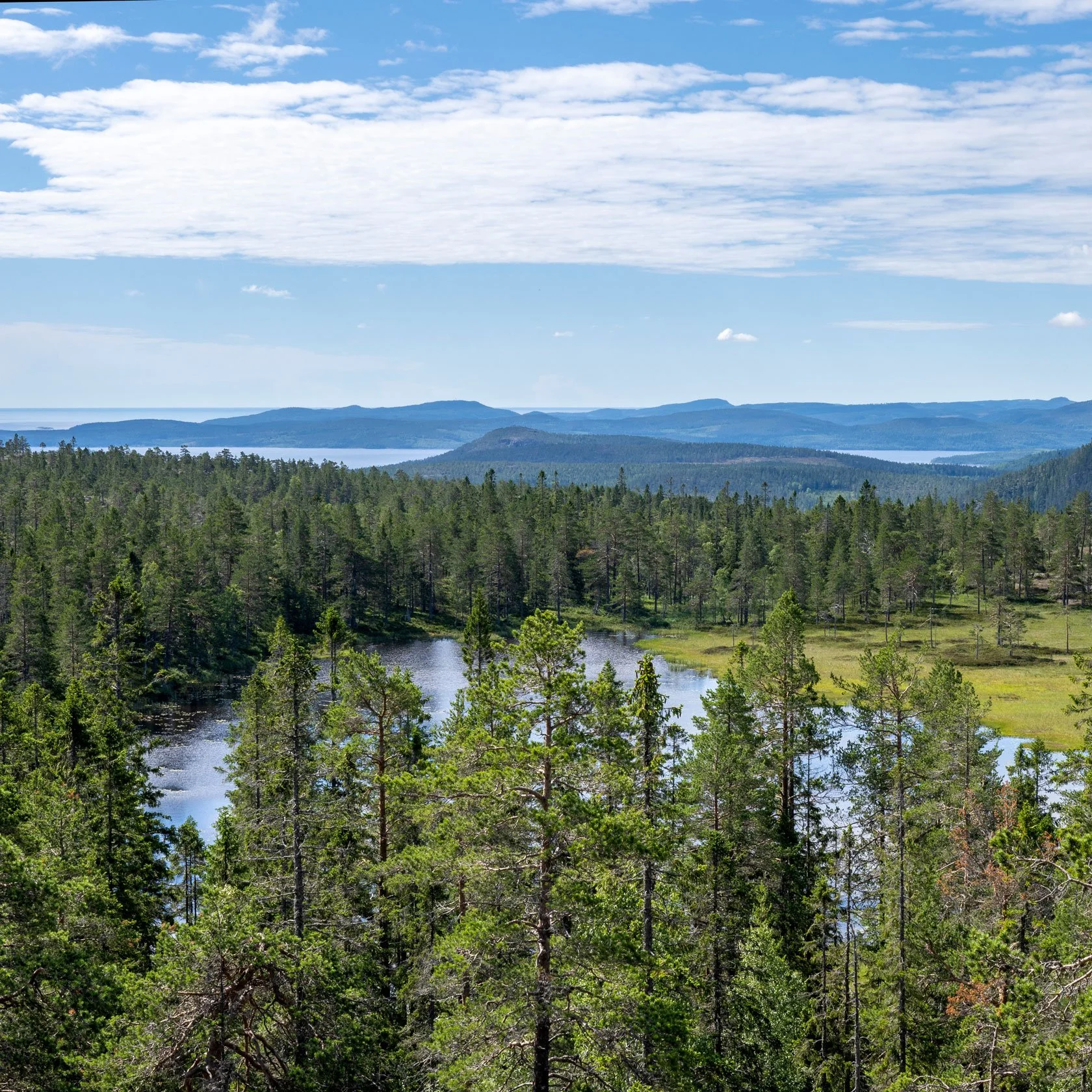
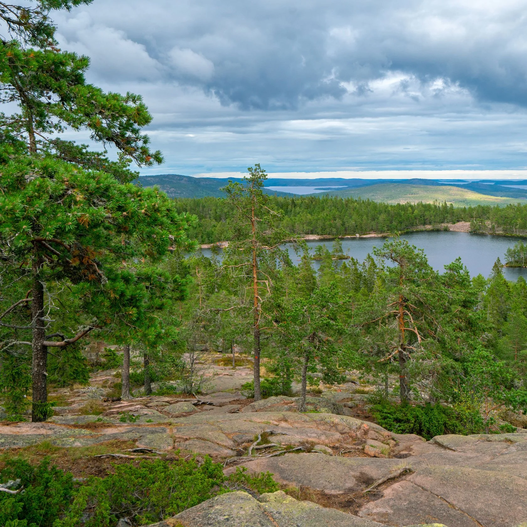
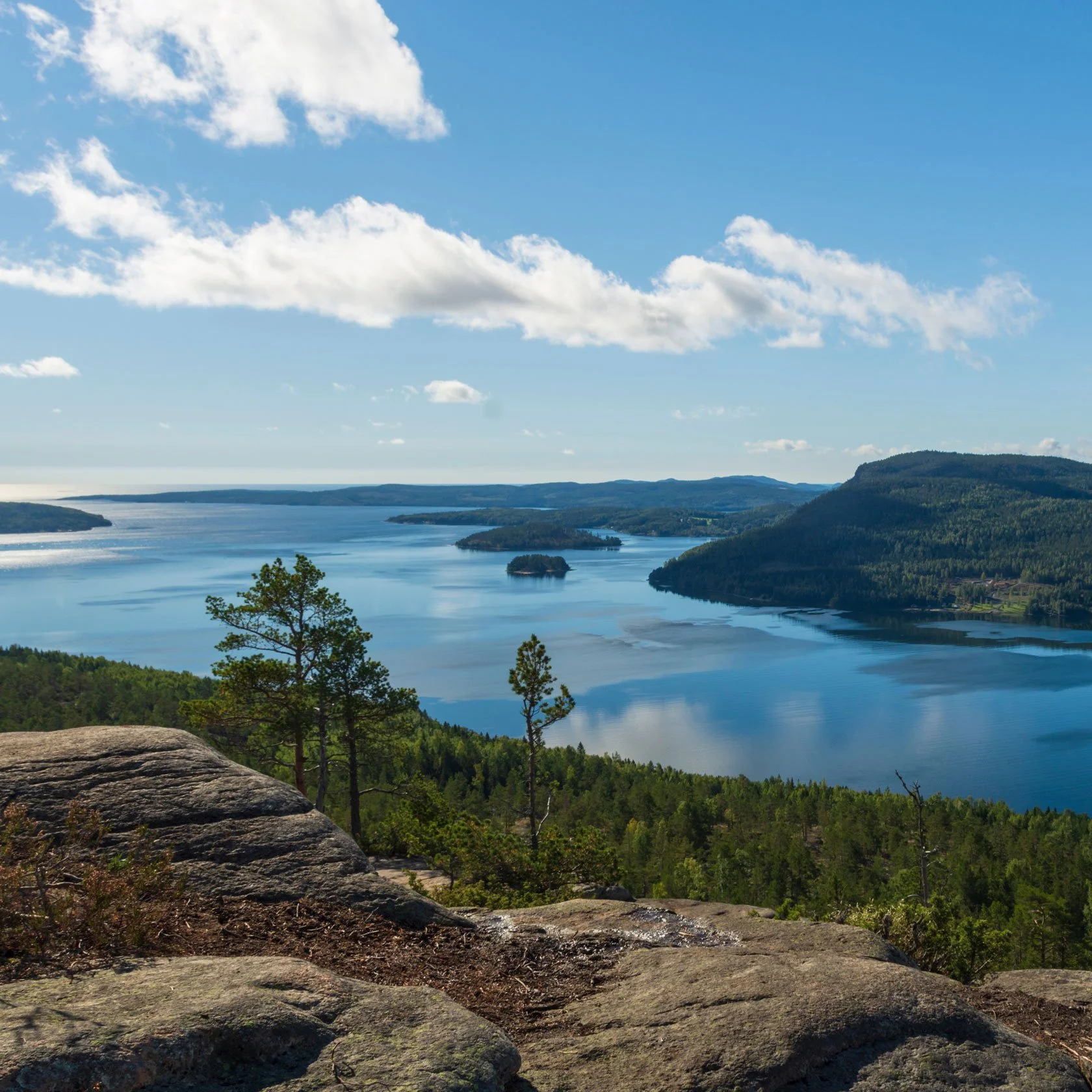
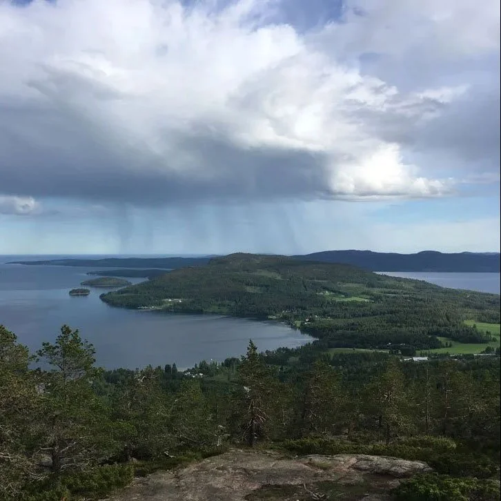
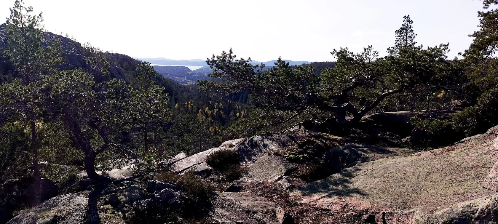
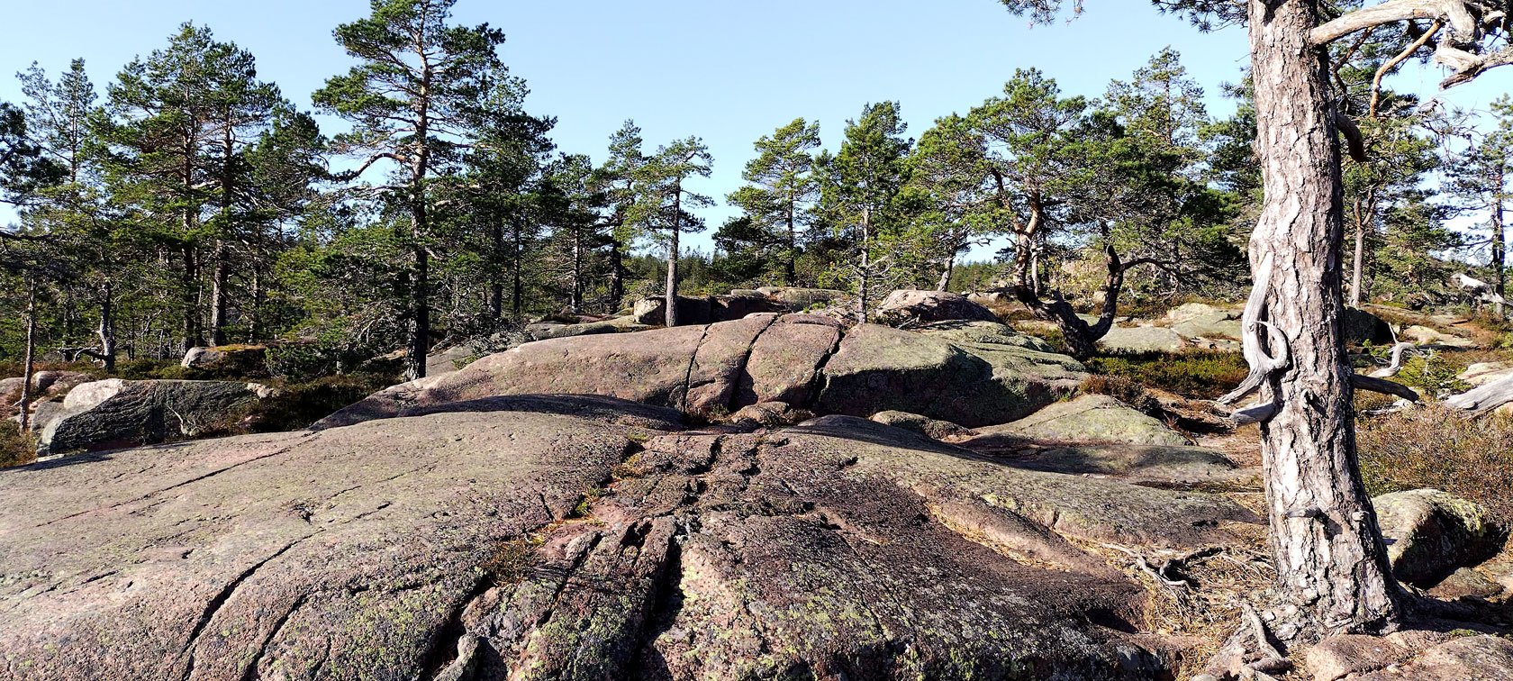
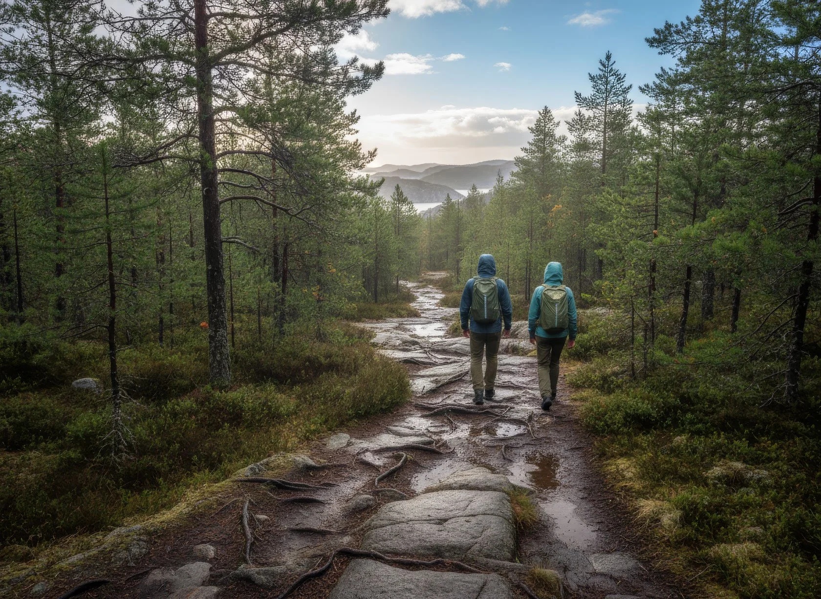
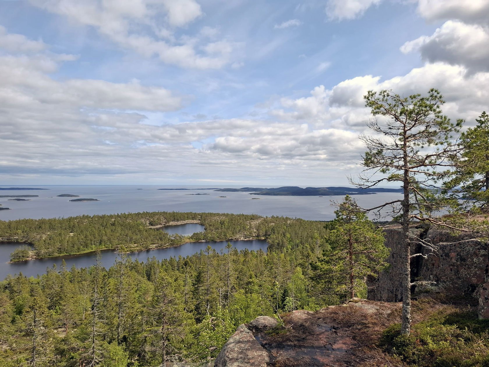
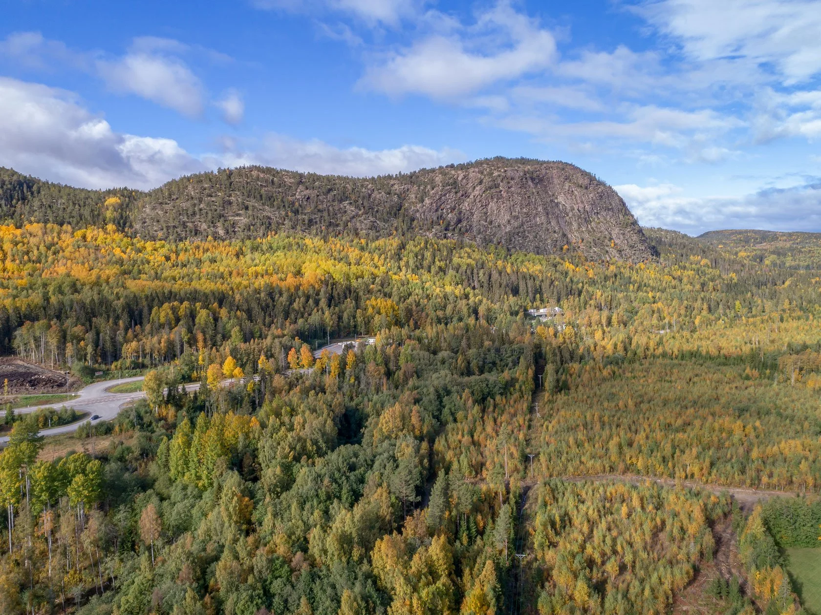
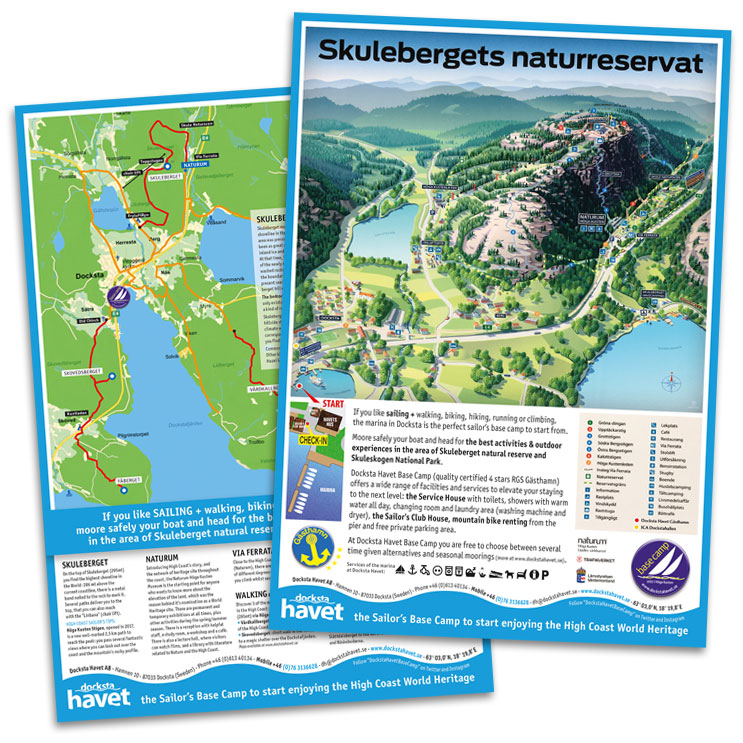
Day 2: Skuleskogen National Park (a full day that doesn’t need a dawn start)
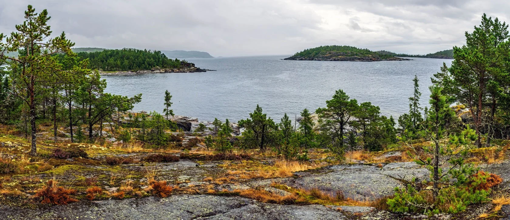
Skuleskogen is where the High Coast turns wild and quiet. Ancient forest. Granite. Bays.
And in June, the long light changes the whole rhythm: You don’t need to start at 06:00 to have a full day.
If you want a ready-made route, here’s my detailed post: Hiking in Skuleskogen National Park during enchanted summer nights

Day 3: change the rhythm (not a stop)
After an arrival evening + Skuleberget, and a full day in Skuleskogen, most people don’t need “more intensity”. They need a different tempo.
This is the day where you keep moving — just without the pressure.

Start with a simple ritual (if the weather allows):
The sun rises very early on our east-facing piers. A coffee and breakfast by the water can be the most “High Coast” moment of the whole trip.
Then pick one of these low-friction options:

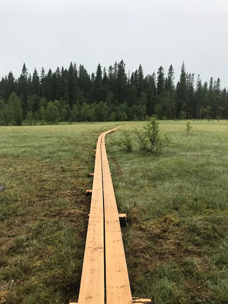
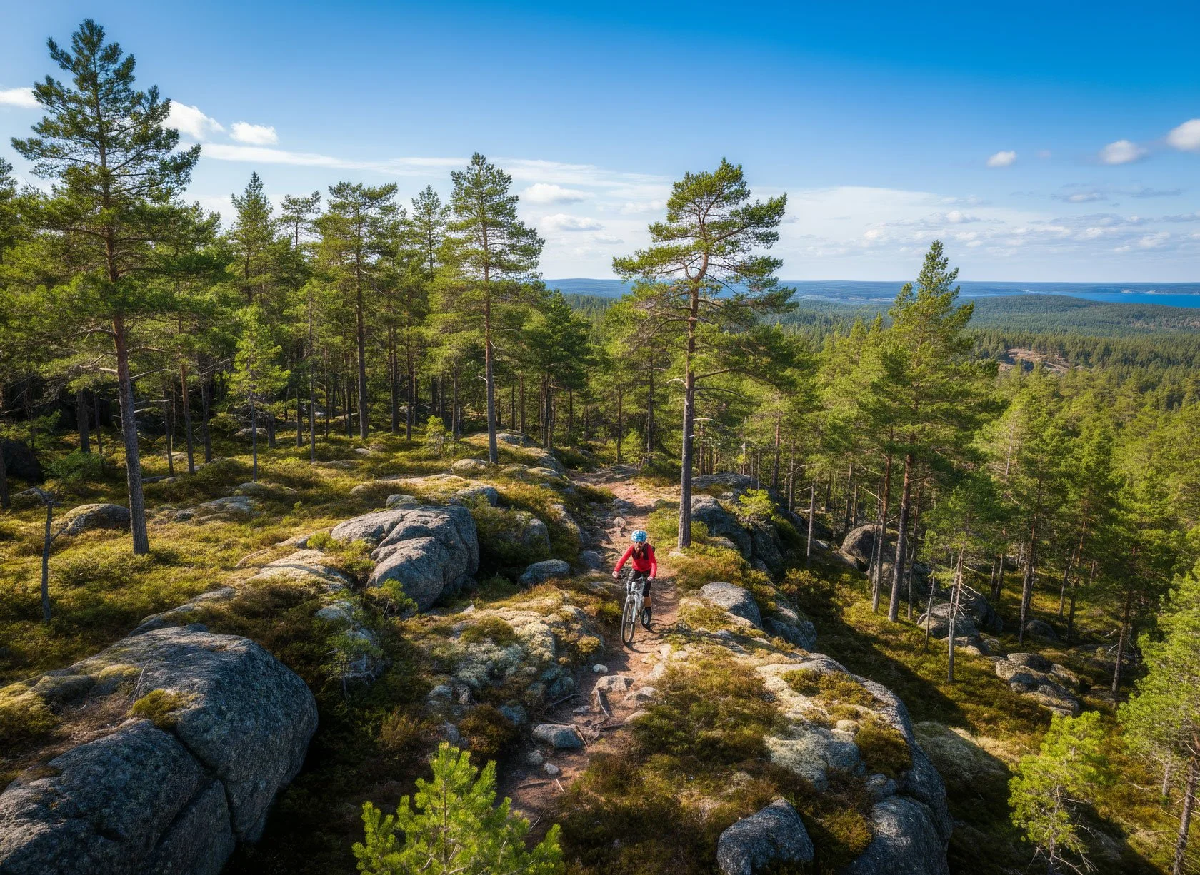
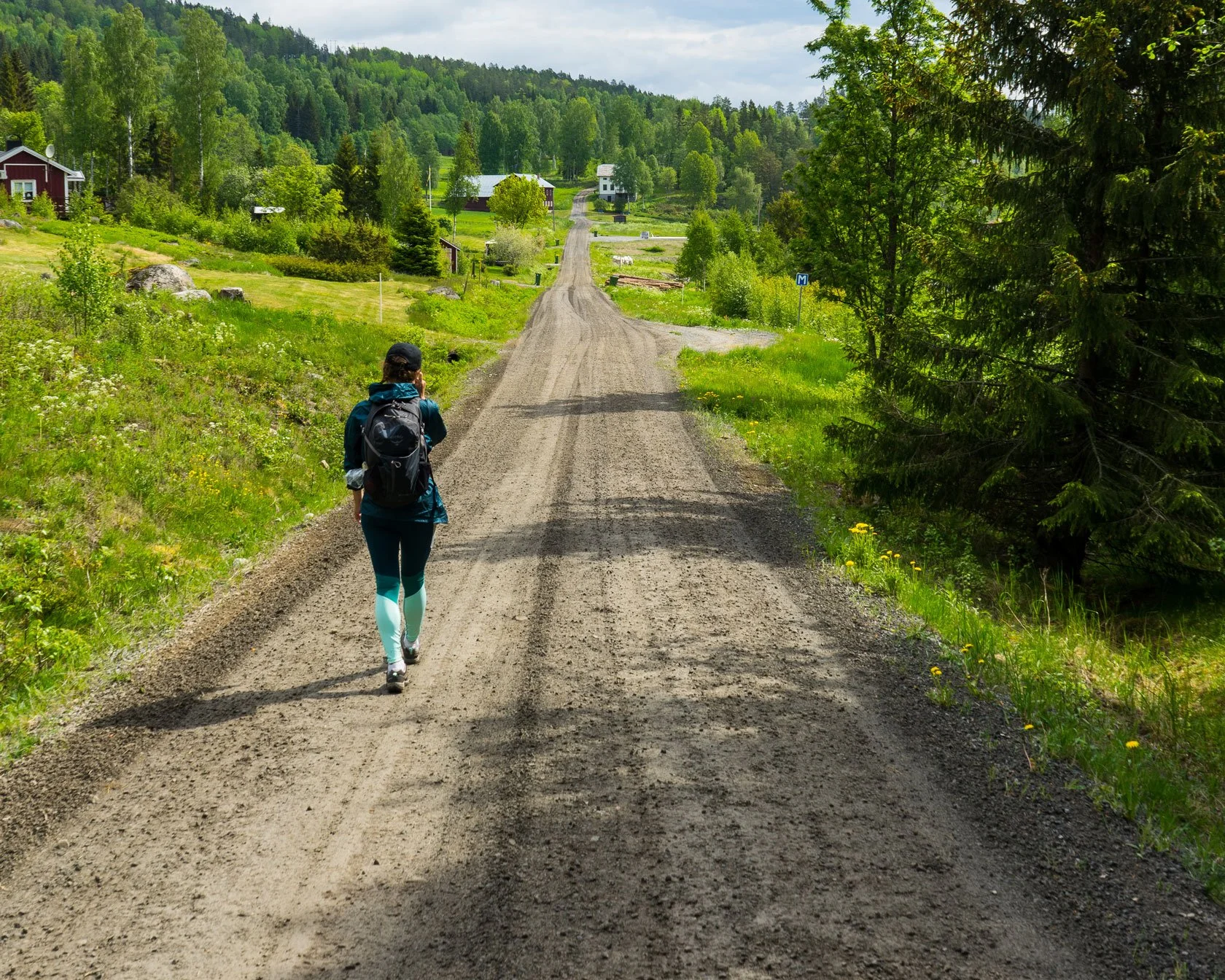
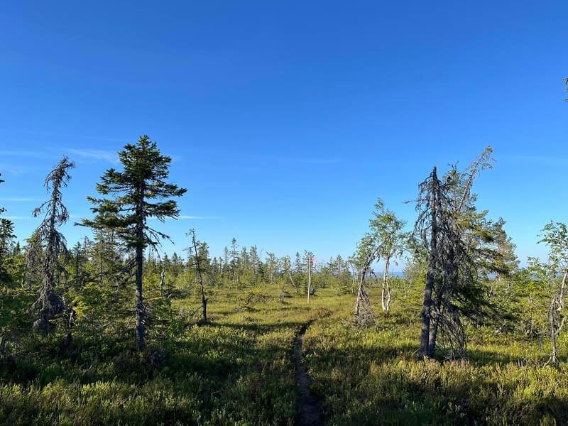
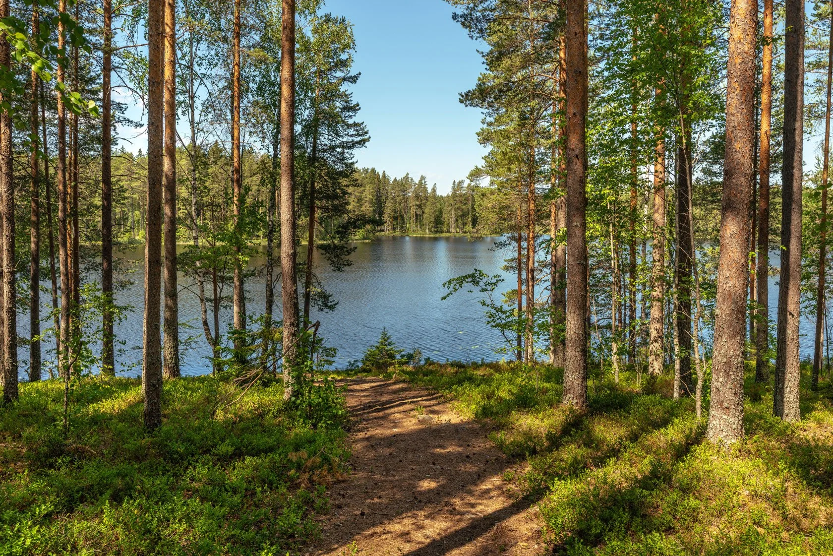
Option A — Easy morning walk to the Magic Shelter (Olsbo)
A short, gentle walk that still feels like an experience. No big packing, no long drive, no “we must do 20 km today”.

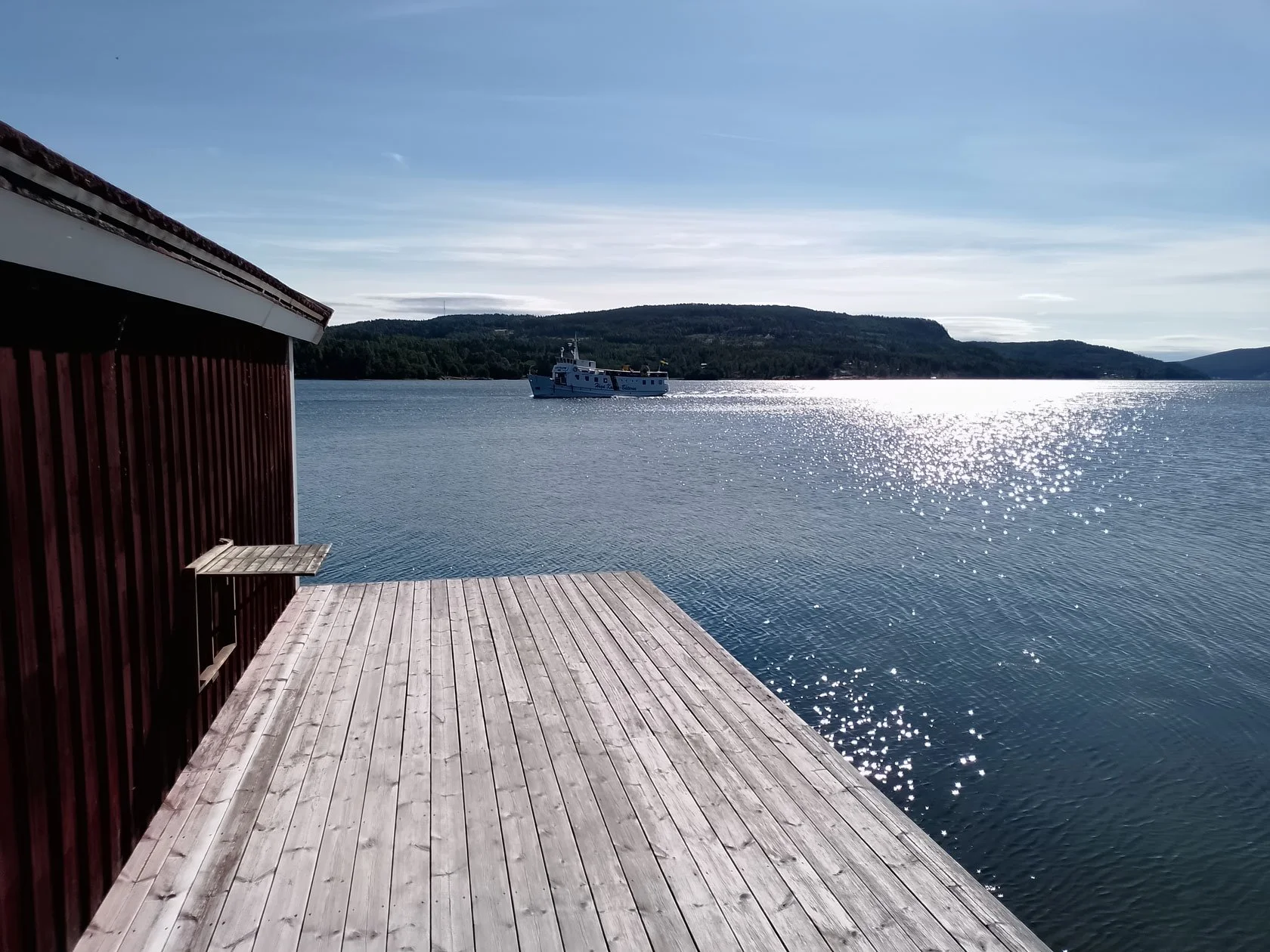
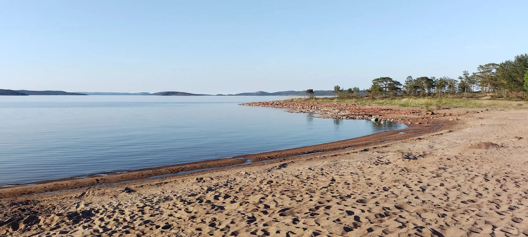
Option B — Ulvön day trip by ferry (slow morning, no car, no stress)
If the seasonal service (Högakusten Båtarna) is running, the ferry leaves around 10:00 from Docksta and returns around 16:00. It’s about 50 metres from us.
This is why I like it: you can have a calm morning, do something iconic, and still come back in time for the third time — that long, golden evening light back on the pier.
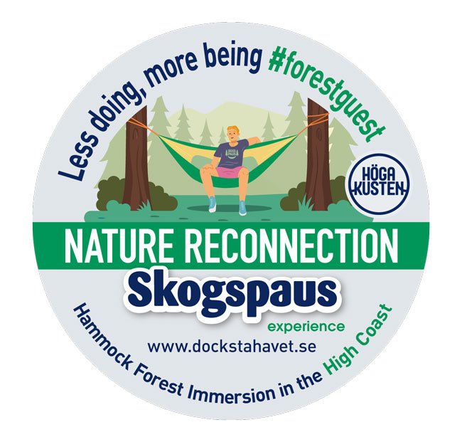
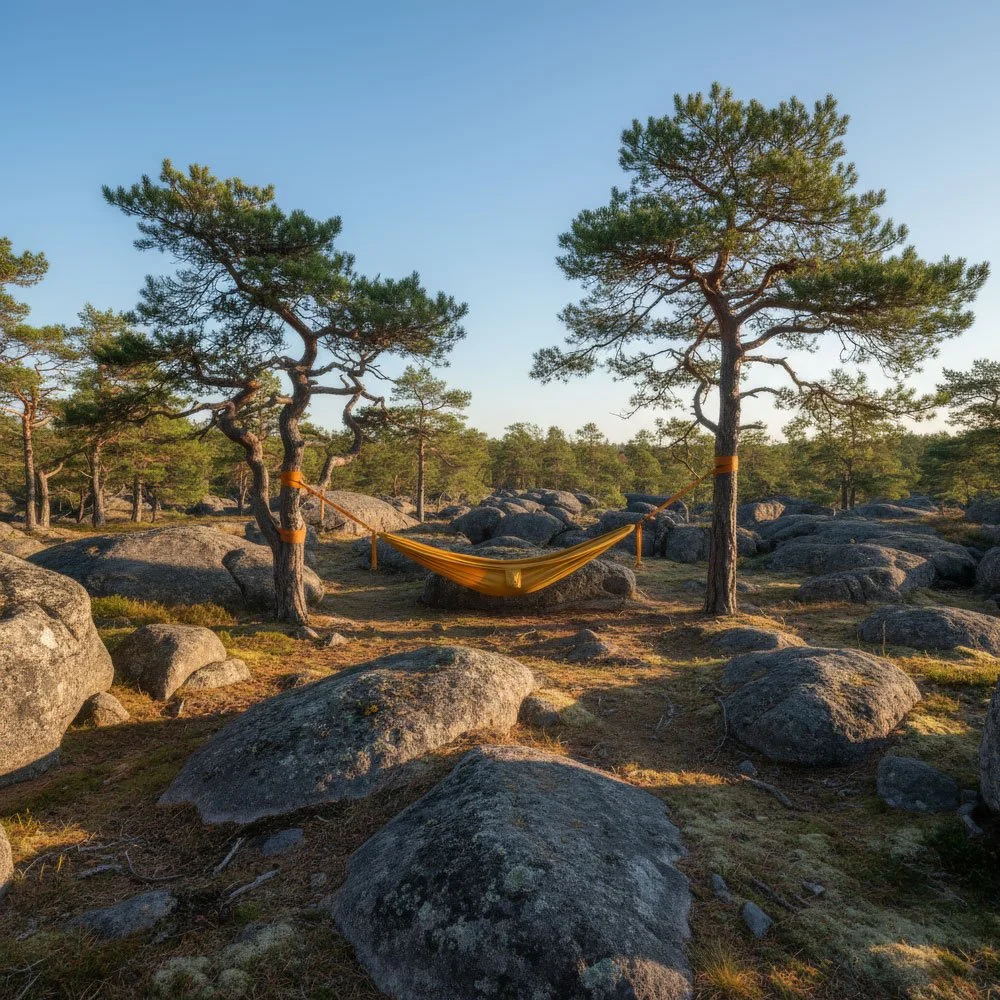
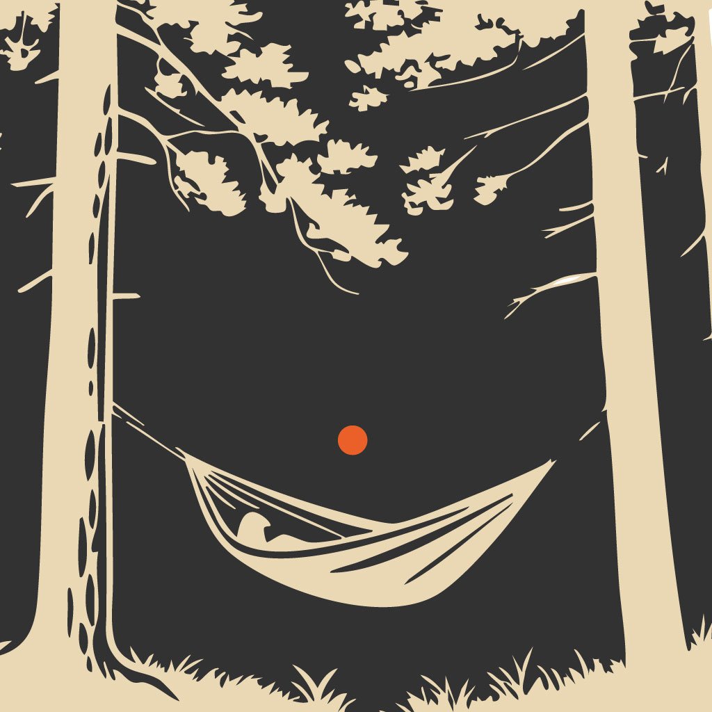
Option C — Forest pause (Skogspaus) + pier evening
If you’ve been running hard (work, life, training), a guided hammock-based forest immersion can be the most memorable part of a short trip.
Who this is perfect for
Swedes from Stockholm and south who want a “real north” feeling without going to the far Arctic
International travellers looking for a short summer escape with long light, sea breeze, and iconic hikes
Sailors who want a stopover where the mountains are not “another destination” — they’re the day plan

Practical notes (so the light stays fun)
Bring a light wind layer (weather shifts fast)
Bring shoes with grip (granite + roots)
If you’re light-sensitive: an eye mask can help you sleep
If you only have 1–2 nights: do Night 1 (Skuleberget after 18:00) + one calm pier evening
New to Sweden’s outdoor rhythm? Scan this first: Friluftsliv in plain words (High Coast)
Want a simple plan for your dates?
If you tell me two things — your dates and your style (hike / bike / slow / sailor) — I’ll suggest one clean 3-night plan.
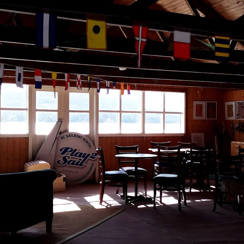
Meet your hosts at Docksta Havet Base Camp
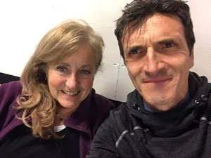
We’re Anna & Tommaso — sea-and-forest lovers, and the people behind Docksta Havet Base Camp. Together we look after this small guest harbour and our waterfront stays in the High Coast UNESCO World Heritage area. In season, you’ll usually find us somewhere between dock lines, sea air, and a paper map on the table. We love helping guests turn a simple stop or a few-days vacation into a real High Coast experience — by sea or by trail.
If you arrive with a rough plan, we’ll help you leave with a better one (and around Midsommar, we’ll also help you use the day’s “third time”). Quick question? WhatsApp us.
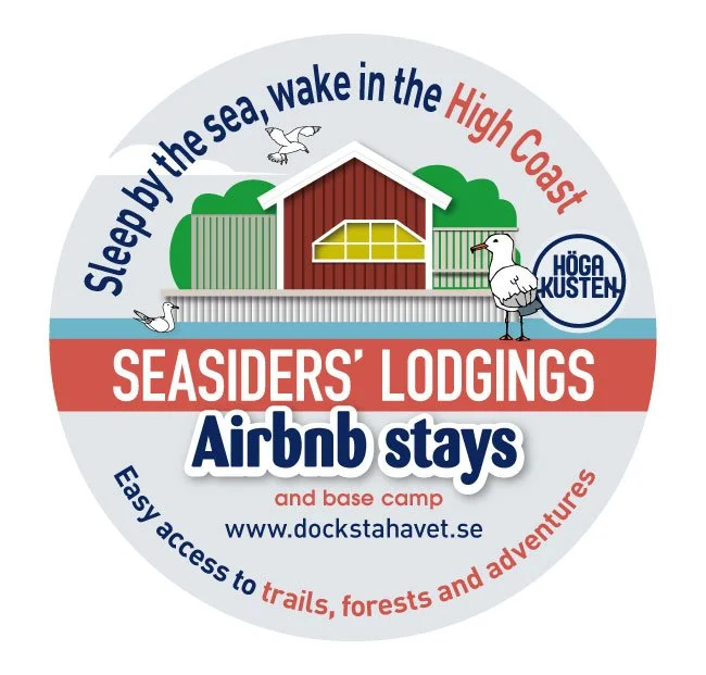
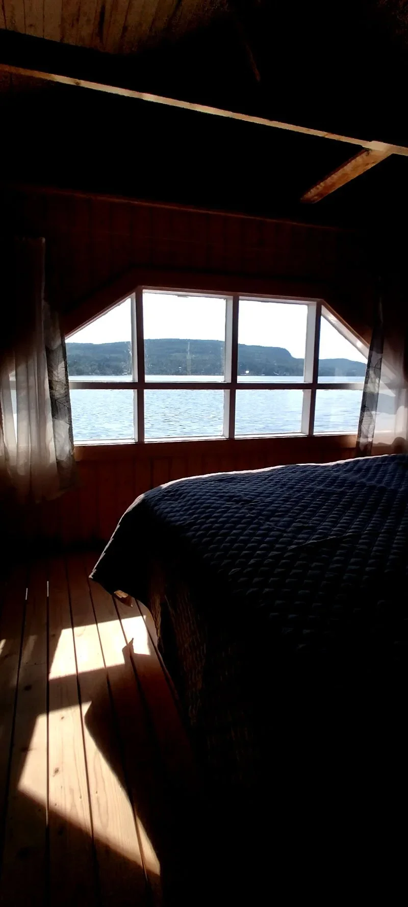
Want to sleep right on the water?
Our Seasiders’ Lodgings are the waterfront stays at Docksta Havet Base Camp — perfect for late arrivals and slow mornings by the pier.
Chat with Docksta Havet Base Camp (WhatsApp): +46 76 313 66 28


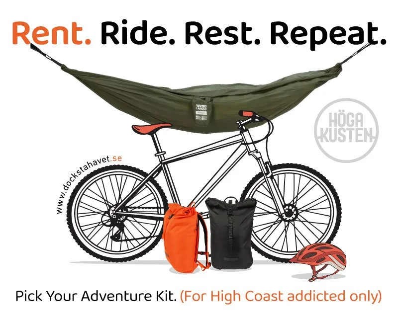
Grab&Go: keep Midsommar simple (travel light)

Want to keep this 3-night plan low-friction? Our Grab&Go outdoor gear rental is the “missing piece” for a High Coast day — so you can arrive with a rough plan and still move easily between sea, forest, and trail.
See Grab&Go + prices: https://dockstahavet.se/outdoor-gear-rental-hoga-kusten
Suggested Grab&Go add-ons for this post
Skuleberget evening hike (Night 1)
Grab&Go: Daypack + light layer + water (and poles if you want them)Skuleskogen National Park day hike (Day 2)
Grab&Go: Day Hike Pack (or Bike & Hike Kit if you want to combine)Magic Shelter (Olsbo) easy morning (Day 3, Option A)
Grab&Go: Daypack (simple and light)Ulvön ferry day (Day 3, Option B)
Grab&Go: Daypack (wind layer + water — keep it minimal)Forest pause / Skogspaus + pier evening (Day 3, Option C)
Grab&Go: Hammock Kit (for your own “forest pause” rhythm)
No gear? No problem — that’s the whole idea.


Read next (planning shelf)
Skuleskogen summer-night hike: https://dockstahavet.se/blog/hiking-in-skuleskogen
Bike from Docksta (choose your mode): https://dockstahavet.se/blog/bike-from-docksta-choose-your-mode-high-coast
High Coast free local guides in 5 languages: https://dockstahavet.se/blog/high-coast-sweden-local-guides
Coolcation context: https://dockstahavet.se/blog/coolcation-sweden-high-coast-summer-reset