High Coast Without a Car

Bike Rental in Docksta (High Coast): 3 Bike + Hike Plans (Few Hours to Full Day)

3 MTB-first plans where the bike is part of the adventure (not just transport)

Rent an MTB in Docksta (High Coast) and choose one of three bike + hike outings: Vårdkallberget, Skuleskogen National Park, or Nätra Fjällskog. Map + local tips.
Looking for bike rental in Docksta (Höga Kusten)?

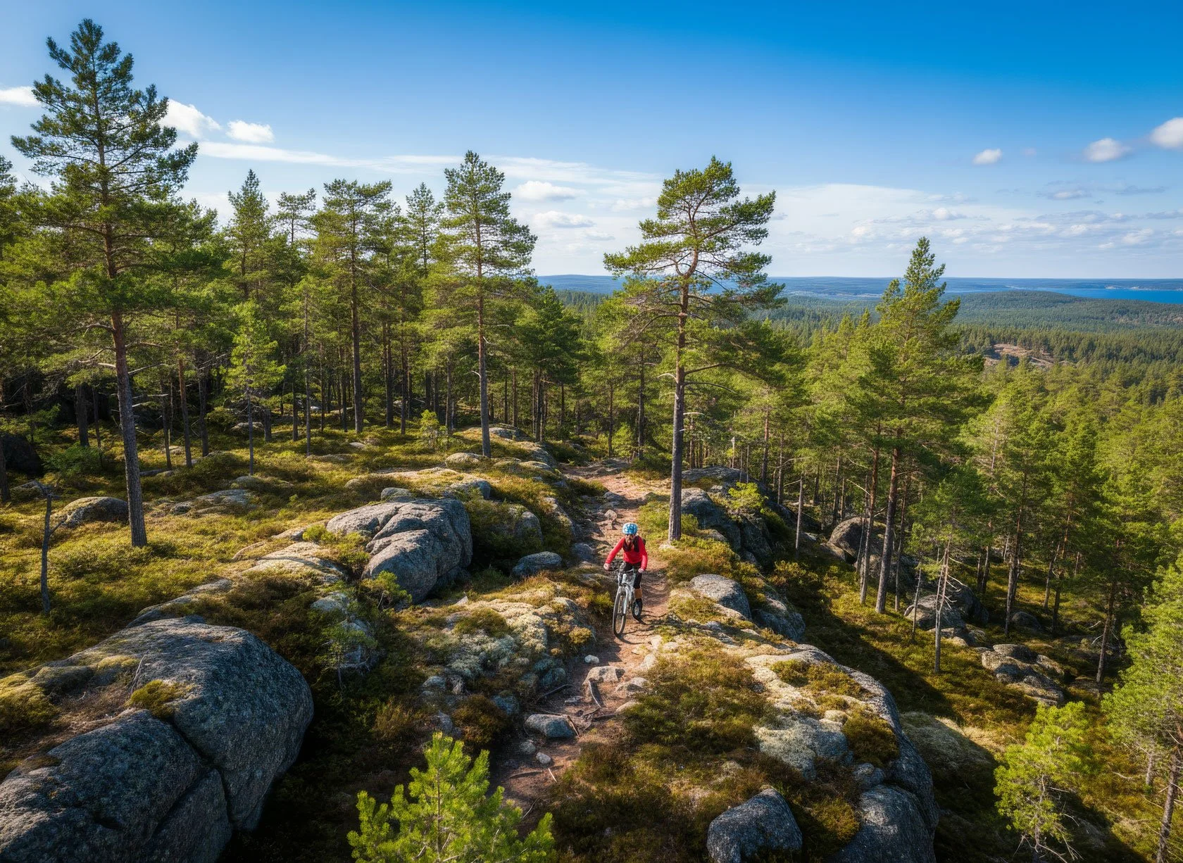
If you're searching for bike rental in Docksta (Höga Kusten / the High Coast), this is the simplest way to use an MTB here: ride from the marina to a trailhead, hike one focused section, then roll back by sea and forest without overplanning, and without spending the whole day in transit.

It's simple, but it's real.

Some people arrive in Docksta with a plan. Most don't.

They arrive with a car full of road-trip momentum, or a backpack that's a little too light, and the same quiet question:

"We want one real High Coast moment… but we want to keep it simple."

I'm Tommaso, and I run Docksta Havet Base Camp — right by the sea, right where the mountain-and-trail world begins. Grab&Go is our simple MTB + outdoor gear rental (plus local advice that keeps your day light).

This post is a practical menu: three MTB-first plans you can start from Docksta in 3–4 hours (or stretch into a full day if you want).


Quick facts (so you can decide fast)
Time window: 3–4 hours (Vårdkallberget) • 4–7 hours (Skuleskogen, depending on loop) • 5–8 hours (Nätra, big legs)

Best for: travelers without gear, short stays, "one good outing" days

Bike: MTB (gravel ready)

Terrain: mixed road + gravel sections (cycling) + trails (hiking)

What to bring: water, wind layer, snack, shoes you trust (optional: a hammock)

Best timing: mornings for the longer outings — but late afternoon/evening in early summer can be magic (the light is the main character)


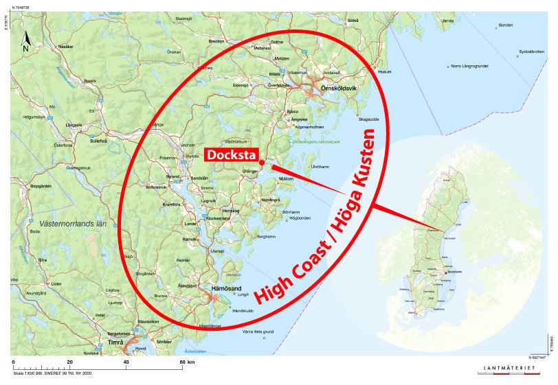
Bike-to-trailhead distances (from Docksta Havet marina):

  • Vårdkallberget: ~4 km

  • Skuleskogen National Park: ~10 km

  • Nätra Fjällskog: ~15 km

If you're unsure what's realistic today, it's best to ask me first — weather and legs matter more than maps

Want the "pin" version? Save our Docksta Havet Google Map with trailheads, viewpoints, and small practical stops: https://www.google.com/mymaps/viewer?mid=1U9WYmvt_VKFYZR2coP_935KNA5f2NxI&hl=en


A small note (because this matters)
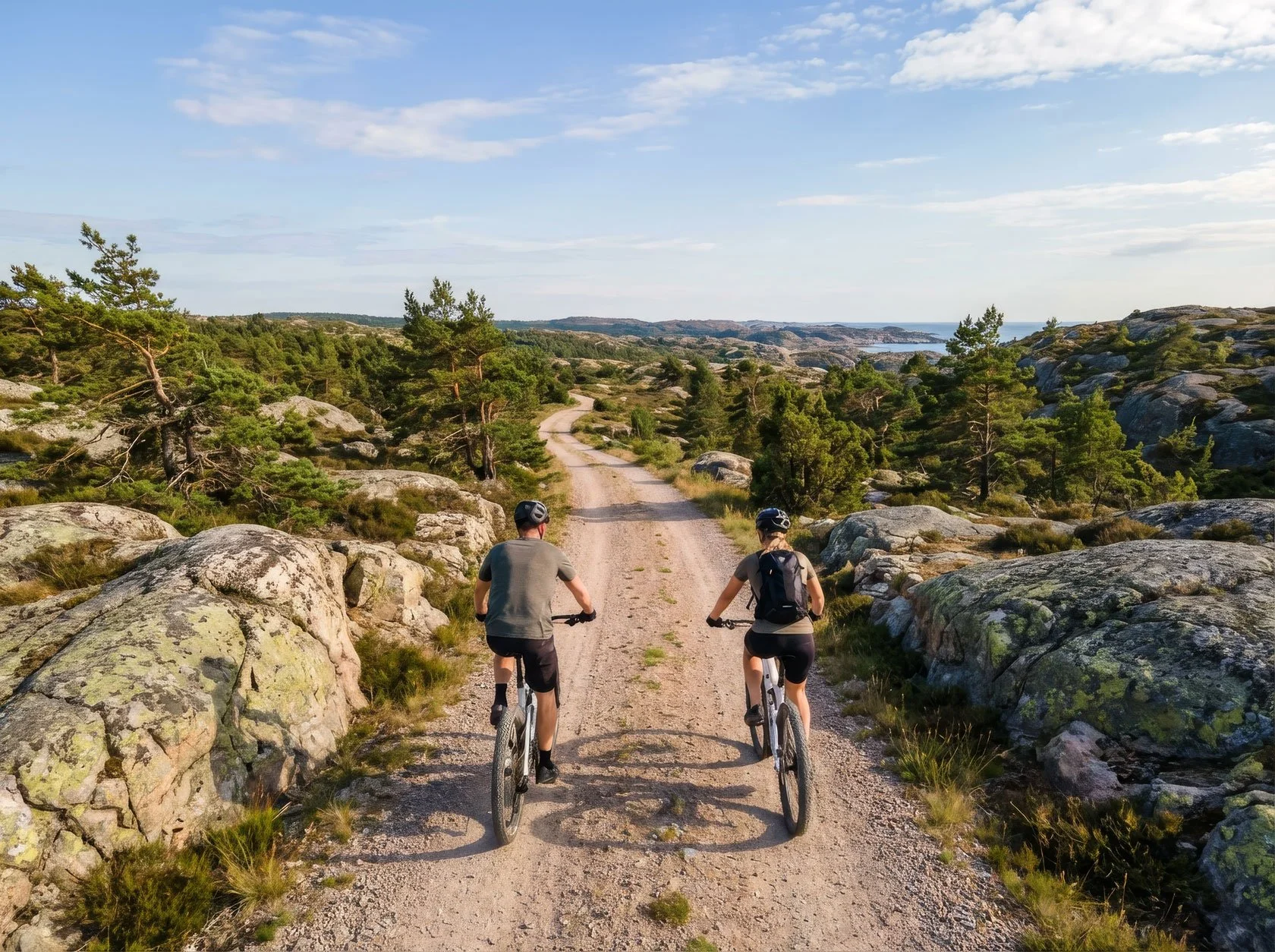
The bike isn't just a cool alternative to the car.

Here, riding is part of the High Coast experience: you cross a beautiful territory between forests and sea, roll over green ridges, mix gravel stretches and quiet roads — and you arrive at the trailhead already inside the landscape. These plans are bike + hike by design: the MTB gets you there, and the walk gives you the "High Coast moment".


Option 1 (⭐ Easy): Vårdkallberget — a very local secret, off the beaten track

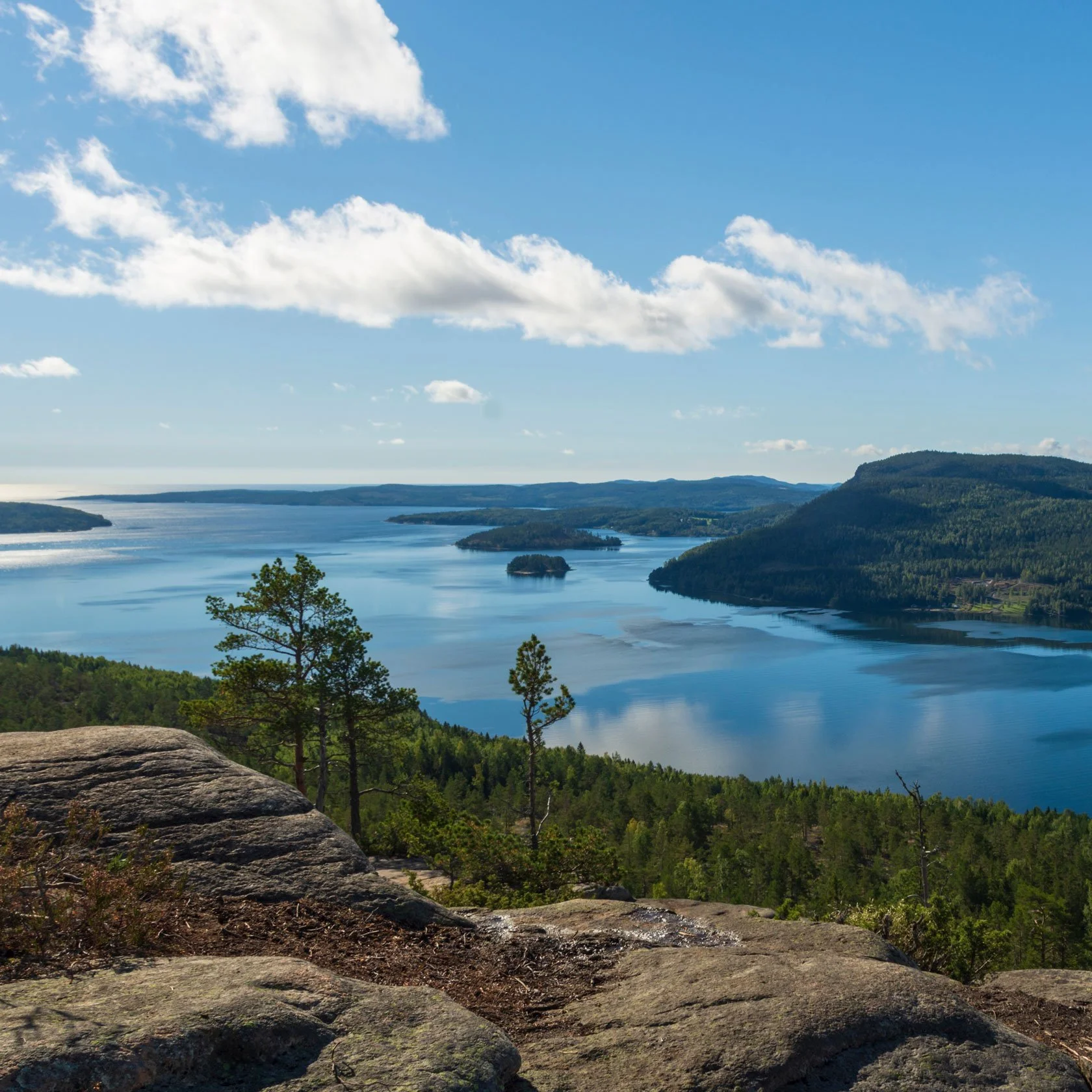
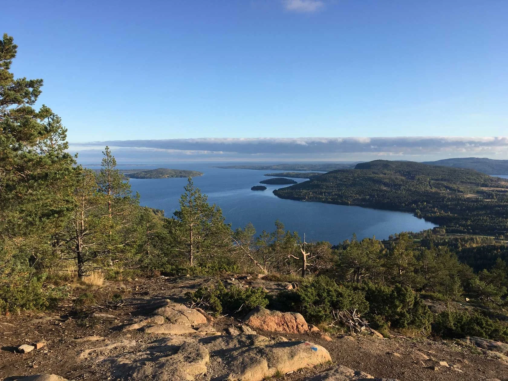
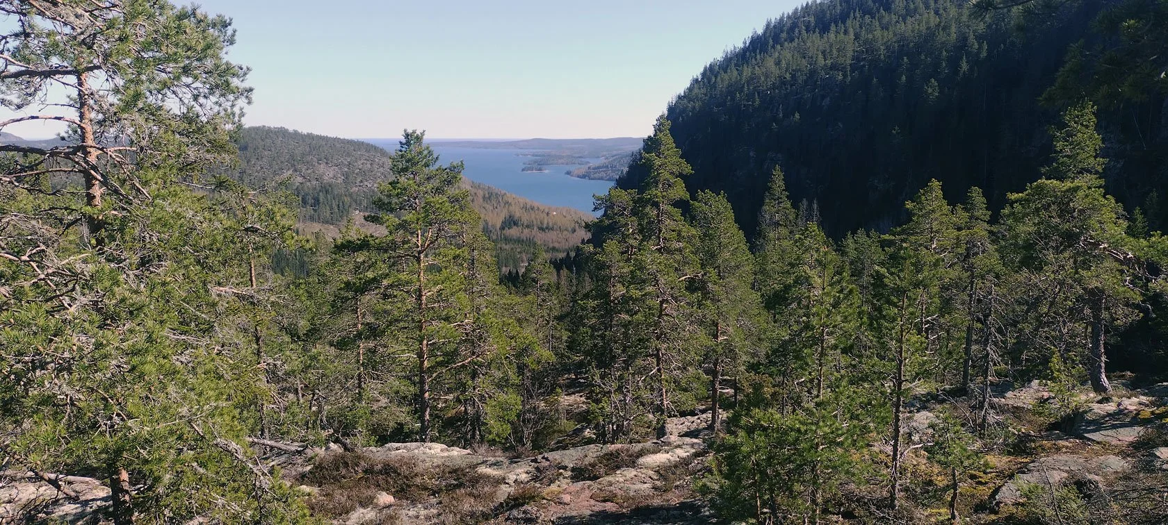
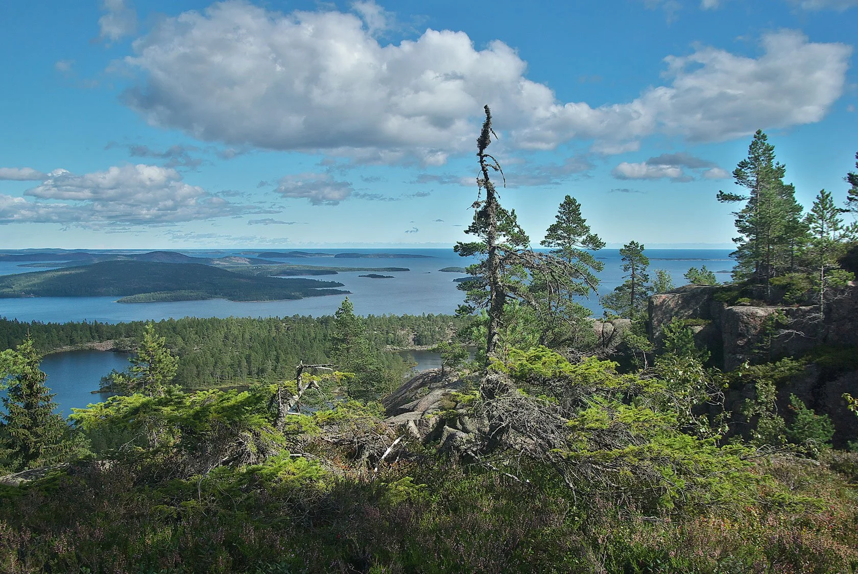
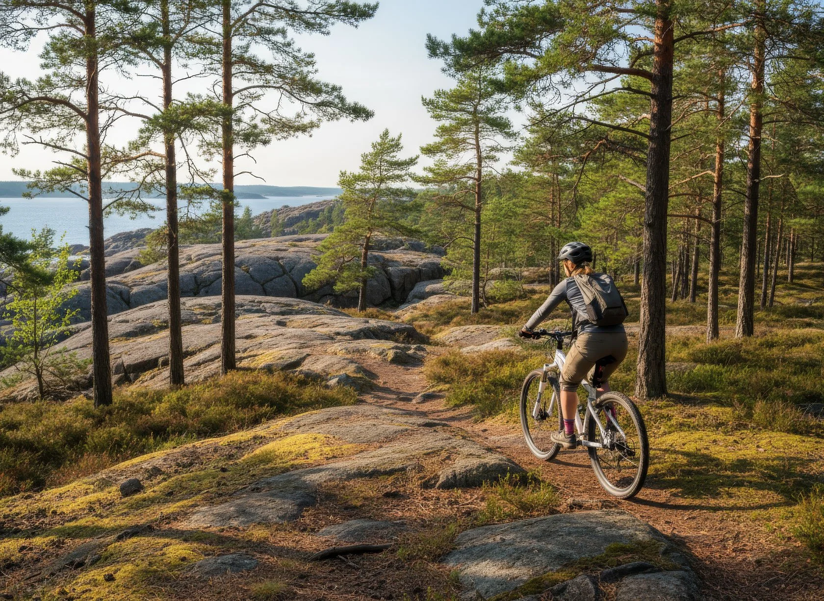
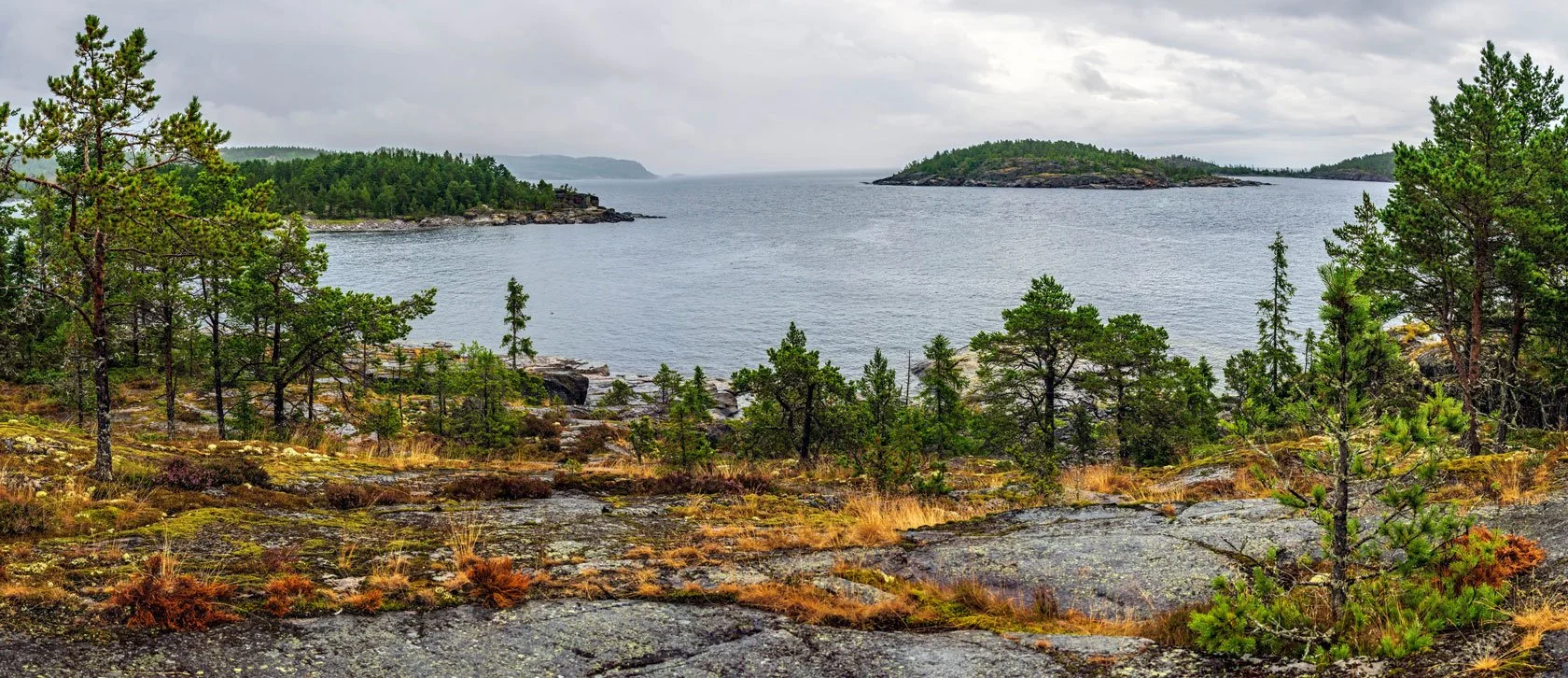
Vårdkallberget is one of those "why didn't we do this earlier?" spots. It's close, it's quietly epic, and it gives you that real High Coast feeling — rock, pine, sea air — without committing to a full-day mission.

Why it works: easy from Docksta, big archipelago views, and a wild rocky forest that still feels like a local secret.

A gentle rhythm:

  • Bike out from Docksta

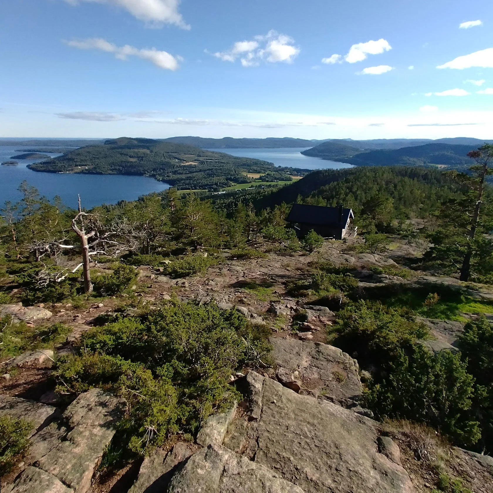
  • Short hike + viewpoint moment at the summit & the "He" wind shelter (Arknat)

  • Roll back for a swim, espresso, or a slow evening

If you want the simplest version (with the smoothest timing), here's the quick guide:

Resources: Browse the guide: Vårdkallberget — easy bike + hammock pause

Extra (if you want a deeper "wild High Coast" story): A wild hike on the High Coast


Option 2 (⭐⭐ Medium): Skuleskogen National Park — the wild heart of the High Coast World Heritage area
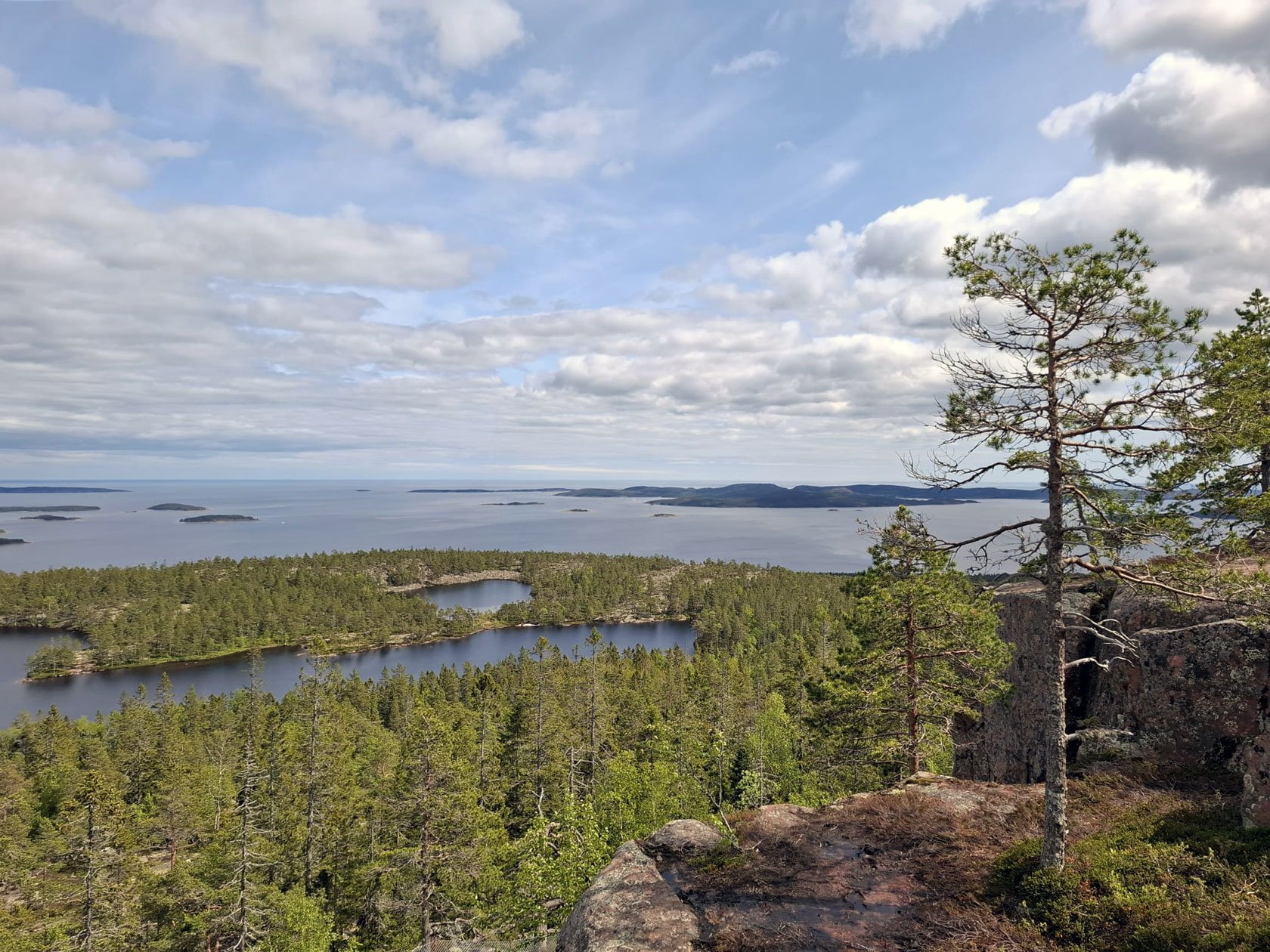
Skuleskogen is where you feel how ancient the High Coast is: old forest, red granite, and quiet bays. If you have medium legs and you want a day that feels truly out there, this is it.

Why it works: it's a must‑have national park day — and it can stay very doable if you choose the right loop/section and keep the plan simple.

A clean approach:

  • Bike out with a simple route (I'll suggest the smoothest start)

  • Do one focused trail section (forest + coastline)

  • Roll back before you're cooked

If you want the best trail choice inside the park (without overplanning), start here:

Resources: Read this post: Hiking in Skuleskogen • Browse the guide: Skuleskogen bike-first day plan


Option 3 (⭐⭐⭐ Big legs): Nätra Fjällskog — where the High Coast reveals itself to those who go deeper
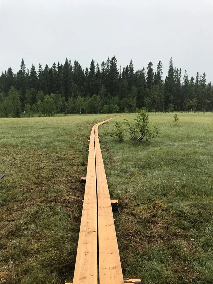
If you've already done the classic highlights — or you simply want true space — explore the quieter side: forested ridges above the coastline, with that big‑north feeling most visitors are never introduced to.

Nätra Fjällskog is the "big legs" choice: more solitude, more trail time, and zero crowd energy. It's the kind of day that makes people say: "Ok… now we're really in the true north."

A good way to do it:

  • Bike out early-ish

  • Keep the plan simple (one main objective)

  • Bring a wind/rain layer and proper fuel — you'll need the energy for this one

If you want space and silence (and a plan that stays clean), this is the one:

Resources: Browse the guide: Nätra Fjällskog — a day of moss, silence and space
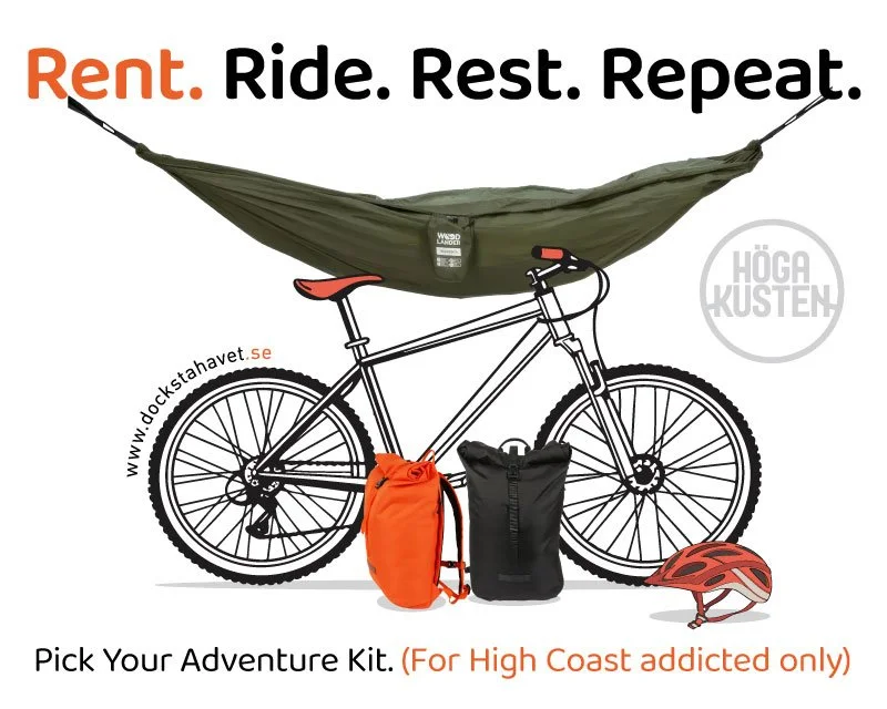


Want to keep it frictionless? Grab&Go (MTB + small essentials)

Grab&Go is built for travelers who arrive light.

You can rent:

  • MTB rental (road + gravel ready)

  • Daypack (50 SEK/day)

  • Hammock kit (75 SEK/day)

  • Perfect Forest Day Kit (MTB + daypack + hammock): 250 SEK/day

No deposit. No paperwork. Most days, walk-ins work — but if you're visiting during peak dates or events, it's best to ask me first.

Full details:

Grab&Go overview: https://dockstahavet.se/outdoor-gear-rental-hoga-kusten

Pricing & booking: https://dockstahavet.se/outdoor-gear-rental-hoga-kusten/pricing-booking

 

Want more ideas (without the overwhelm)?
 

Free High Coast mini-guides (5 languages)
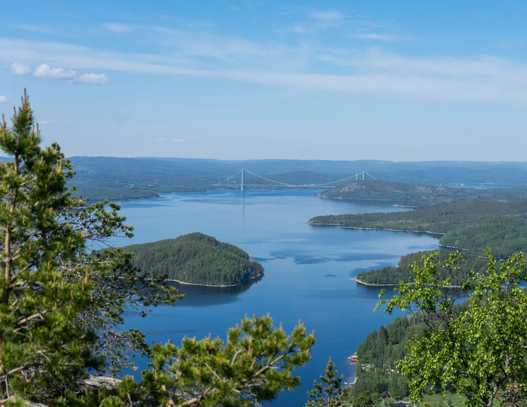
One more thing that helps (especially for first‑timers): I've put together free web-based High Coast mini-guides in 5 languages. No download, no payment — just open and start planning.

Free mini-guides (5 languages): English → | Svenska → | Deutsch → | Suomi → | Italiano →


A small closing note
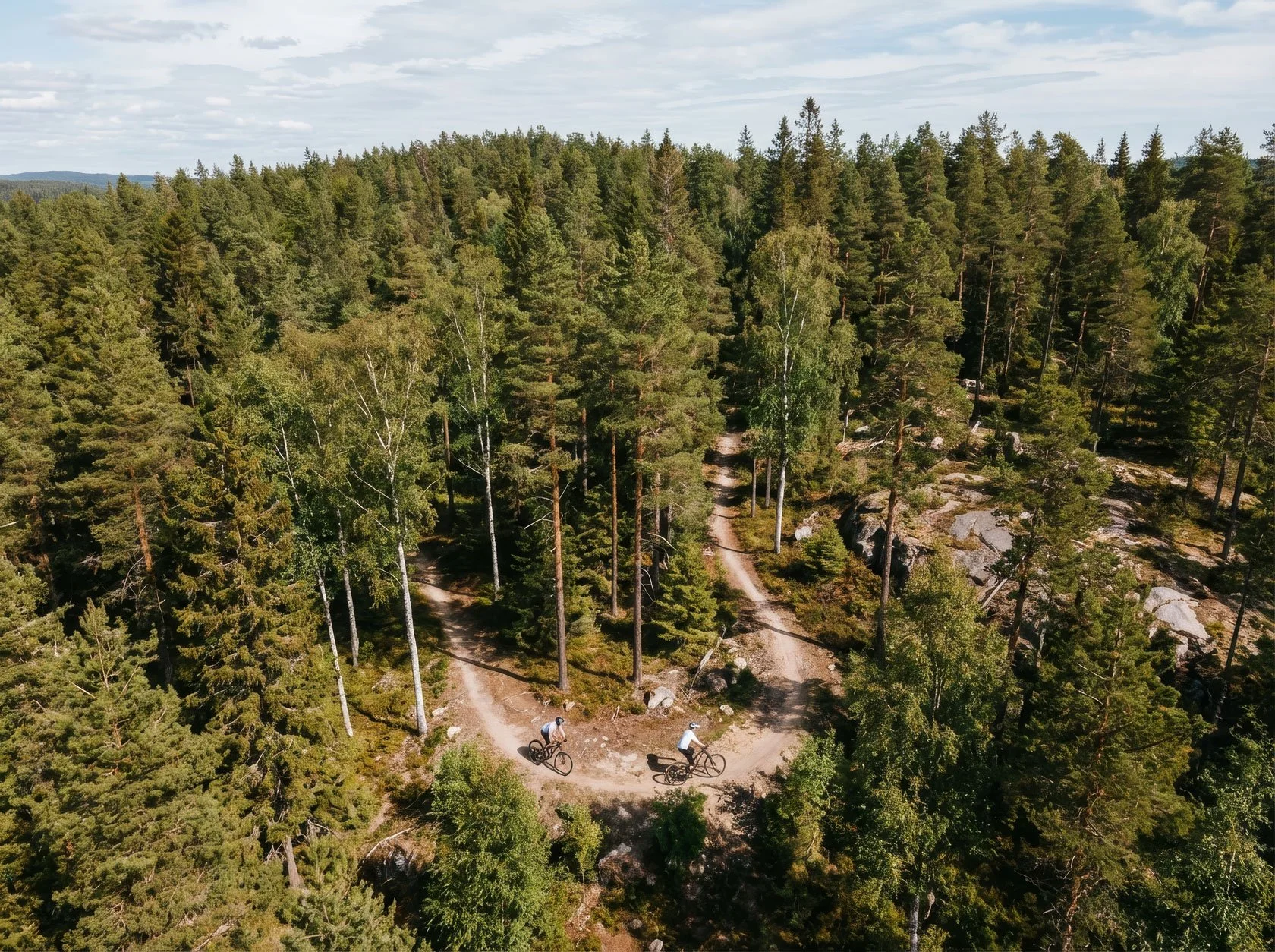
These rides aren't about "doing the High Coast". They're about entering it.

Bike out, hike one honest section, come back salty and calm — and you'll understand why Docksta is a base camp, not just a dot on the map.

Want me to pick the cleanest plan for today?

Send: hours + legs + mood → I’ll suggest one route that matches the weather and your energy.

Email: dockstahavet@gmail.com


🇸🇪 Kort på svenska

Det här inlägget är en enkel meny för dig som vill uppleva Höga Kusten utan att krångla. Från Docksta kan du med MTB nå fina utsikter och skogsstigar på 2–4 timmar (easy/medium/big legs). Behöver du utrustning? Grab&Go är vår enkla uthyrning av MTB, dagsryggsäck och hängmatte-kit. Skriv gärna till mig först så tipsar jag om den smidigaste rutten för just din dag.

🇫🇮 Lyhyt suomeksi

Tämä postaus on selkeä valikko sinulle, joka haluat kokea Korkean Rannikon (Höga Kusten) ilman turhaa säätöä. Dockstasta pääset maastopyörällä hienoille reiteille 2–4 tunnissa (easy/medium/big legs). Jos matkustat kevyellä varustuksella, Grab&Go-vuokrauksesta saat maastopyörän, päivärepun ja riippumattosetin. Lähetä minulle viesti ensin, niin suosittelen helpoimman suunnitelman sään ja energiatason mukaan.


Grab&Go suggestions: WHERE TO RIDE
High Coast by sailboat: safe mooring + hiking from the same base camp

High Coast Sailors: Docksta Base Camp (Safe Mooring + Hiking)

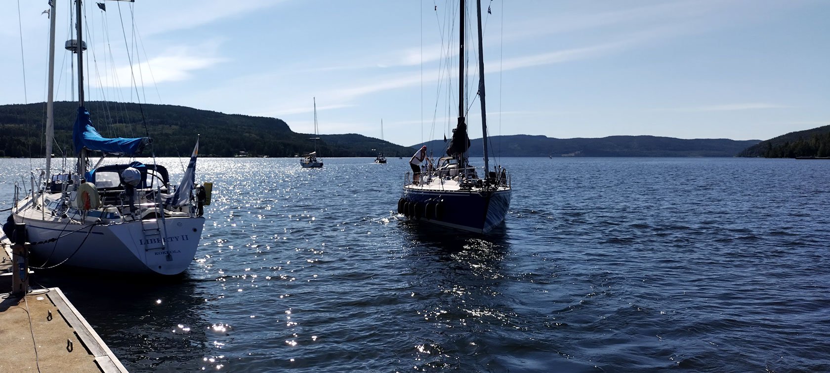
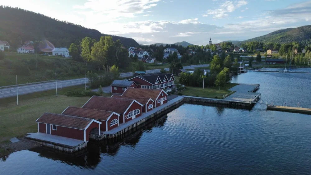
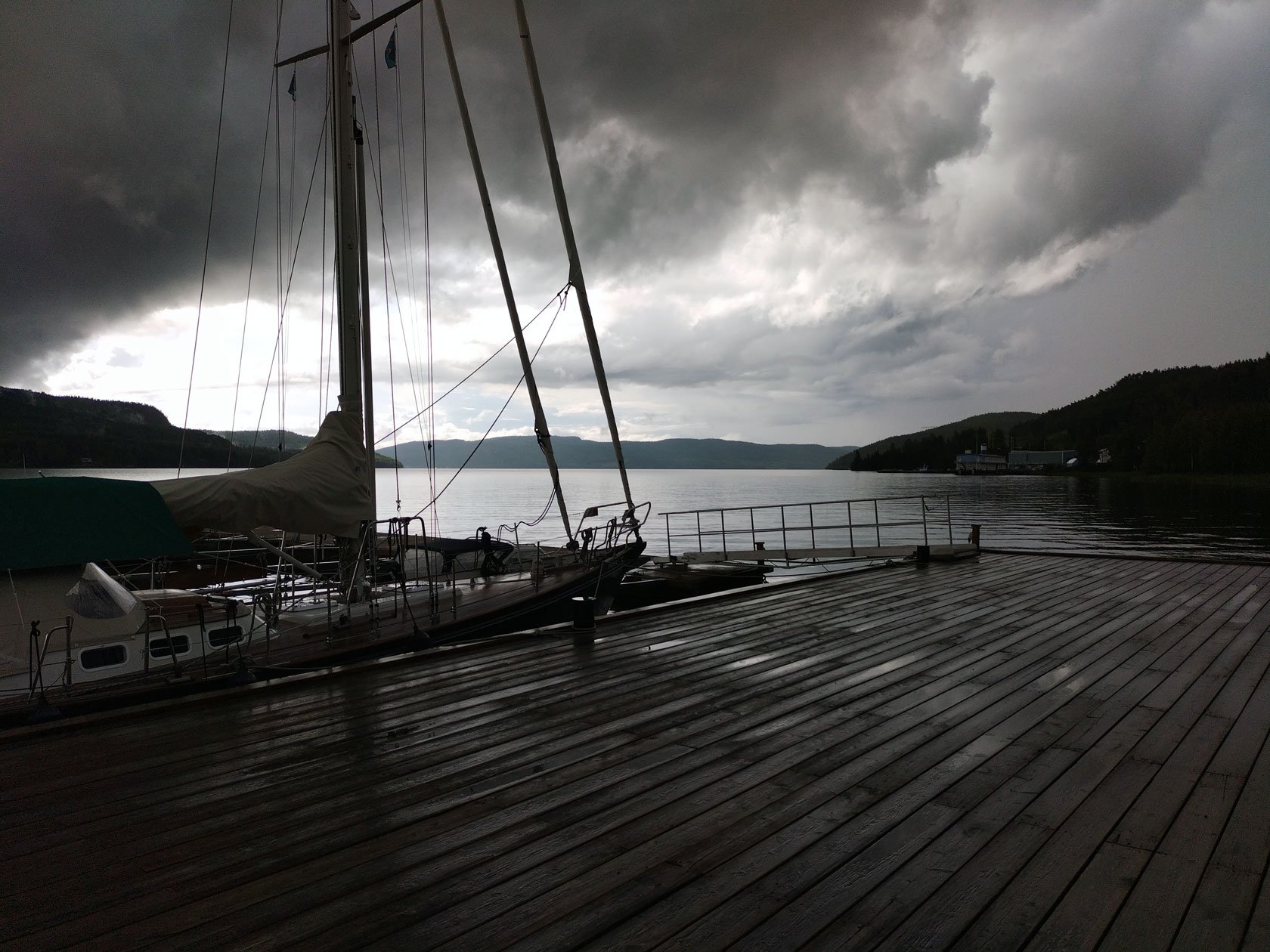
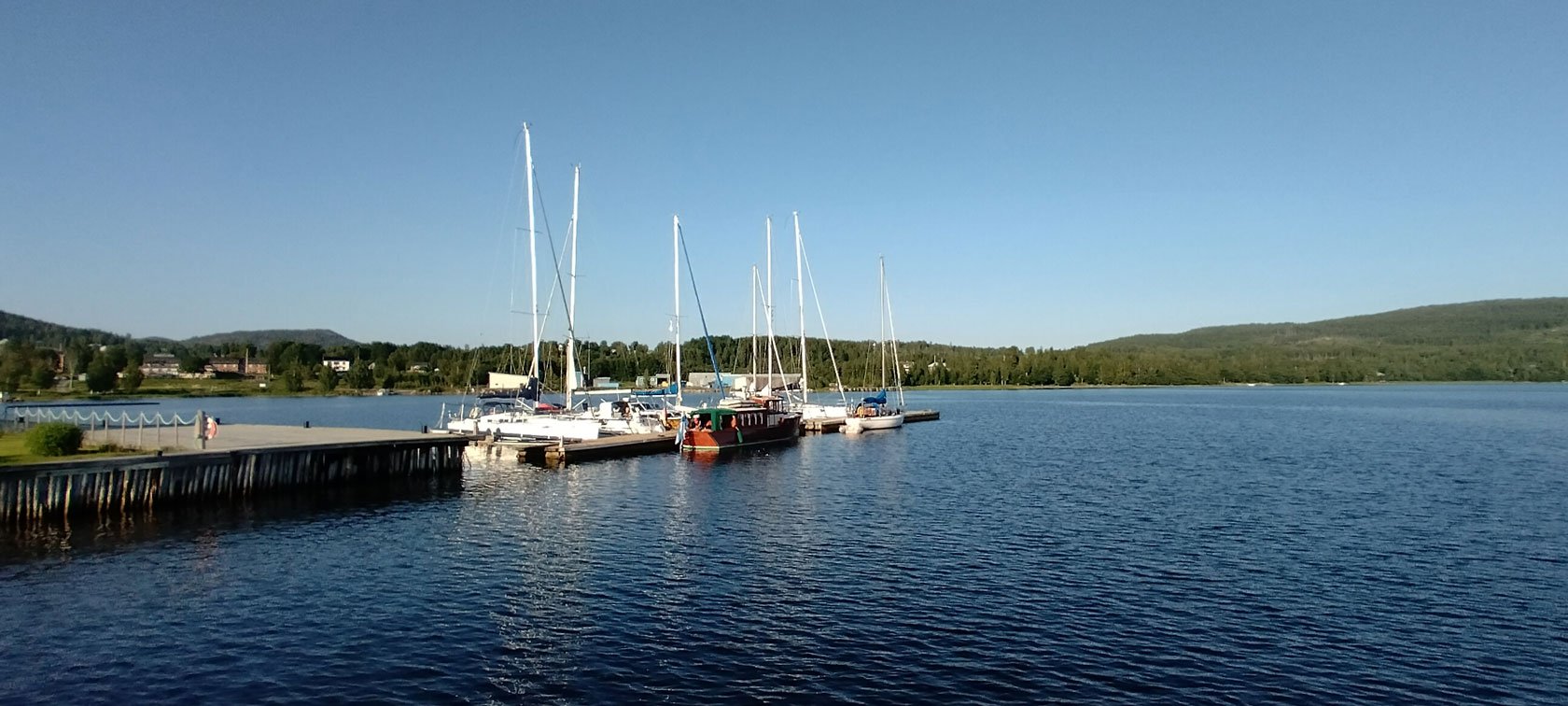
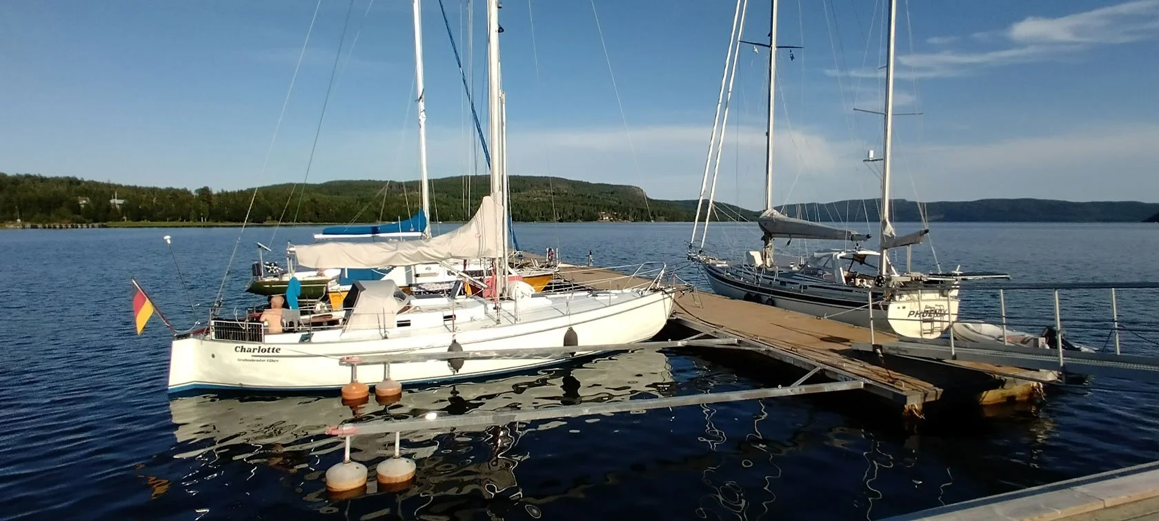
Docksta Havet is a guest harbour (gästhamn / marina) in Docksta, in the sheltered Dockstafjärden fjord, offering Y‑boom berths (finger pontoons) and alongside mooring on quays and pontoons—a calm setup when the weather shifts. Summer 2026 is our 20th season here in Docksta: two decades of welcoming crews into a harbour that’s more than a berth—it’s a sailor’s base camp, and that approach keeps crews coming back. That’s why Docksta Havet often becomes the one High Coast stop that isn’t a pit‑stop — you arrive, tie up, and your hiking day is already plugged in.

From here, turn 24–72 hours on shore into a real base‑camp day: Skuleskogen National Park first, Skuleberget next, plus Grab&Go bike rental, the Sailor’s Club House (espresso and a simple lounge to reset and plan), and a local harbour host with a solid bad‑weather plan. If you only have time for one proper shore‑leave plan in the High Coast, this is the simplest one to make work.

Predikstolen viewpoint, Getsvedjeberget. Easy hike on foot — or ride there with our bikes from Docksta Marina.


Why Docksta works as a sailor’s base camp (not just a stop)

If you’re sailing the Swedish coast, you know the pattern: you arrive, you tie up, and then you spend half your shore leave solving logistics.

Docksta is different: it’s a shore‑leave base camp — safe mooring, then real hiking without the logistics headache.

  • Protected moorings: sheltered from the main wind directions — arrive calm, sleep well, and keep your plan flexible.

  • Harbour host on site: local timing + route intel — “what makes sense today” based on wind, rain, and your shore window.

  • Over 30% of our guests are international repeat visitors—crews who come back because this stop simply works: safe mooring and an outdoors-first shore leave.

  • Want the captain’s shortcut? Start with the High Coast Sailor Mini‑Guide.


Shore leave that starts from the pontoons (Skuleskogen first)

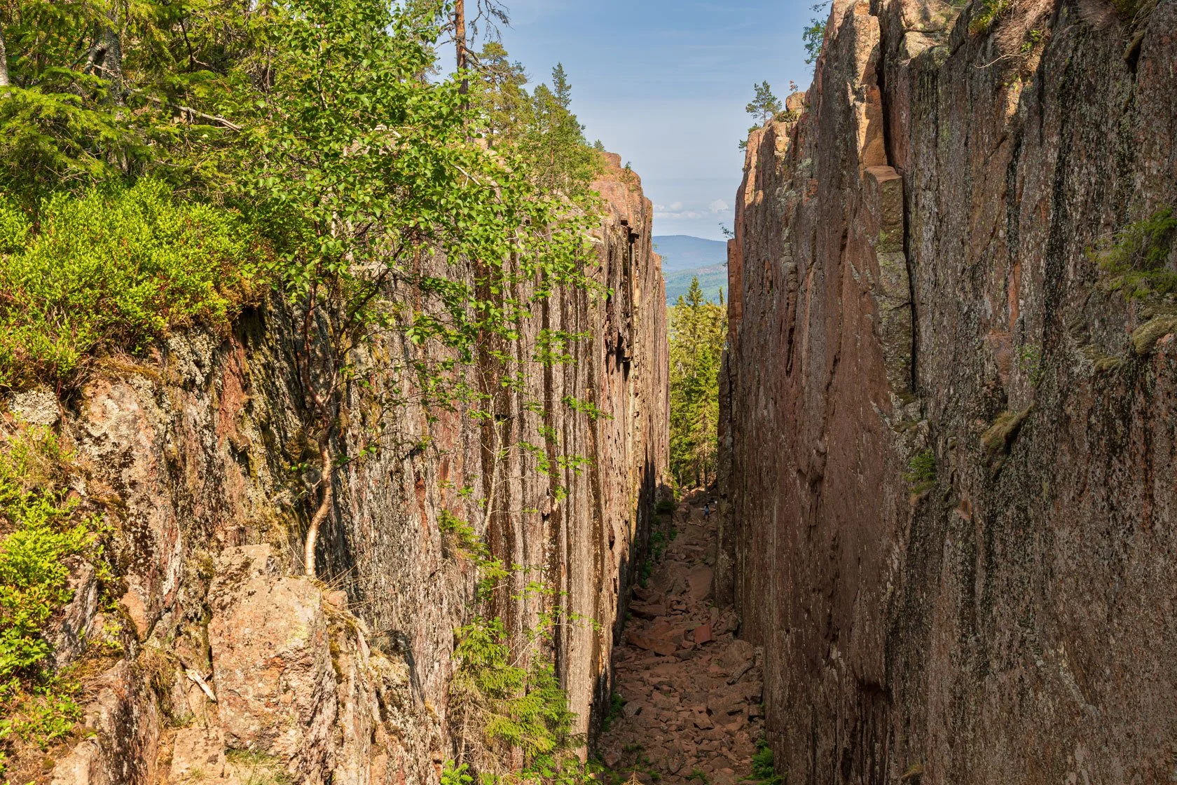
Slåttdalskrevan crevice, Skuleskogen National Park. An iconic “must-see” spot in the High Coast.

From Docksta, Skuleskogen National Park is the obvious first choice—and the easiest way to make it work is to start from Entré Syd. It gives you a clean, sailor‑friendly day plan: a proper High Coast hike with big landscapes, without turning shore leave into a transport puzzle.

There’s one loop from Entré Syd that’s become a favourite among sailors — our signature shore‑leave hike, and it’s increasingly shared between crews planning their High Coast stop. If you tell me your time window and the weather, I’ll point you to the best version (and you’ll find the detailed trail posts linked below).

View over the High Coast fjords from the top of Skuleberget — one of our key places in Docksta. If you want the best way up (and the best loop), start here (Docksta Havet Base Camp).

For day two (or a shorter “high reward” option), Skuleberget is right there: the Naturum museum, Via Ferrata, classic summit trails, and the chairlift are all part of the same compact area—exactly the kind of shore leave sailors look for when they want maximum experience with minimum hassle.

Below you’ll find links to our Skuleskogen and Skuleberget guides (routes, timing, and Plan B options).

Via Ferrata Skuleberget (Docksta) — one of the High Coast’s most iconic adventures.


Free mini-guide for High Coast sailors

Planning your stop in Docksta? Download the High Coast Sailor Mini‑Guide: practical shore-leave ideas, what to do with 24–72 hours, and the simplest ways to reach Skuleskogen and Skuleberget.

Get it here: High Coast Sailor Mini‑Guide

It’s the fastest way to plan a 24–72h stop.


Grab&Go: shore leave mobility (bike rental, made simple)

This season we’re introducing Grab&Go: a simple way to unlock a real outdoor day even if you arrive without gear or a car. It starts with bike rental, but the idea is bigger than bikes: it’s “base-camp mobility” for sailors—quick, flexible, and built around the High Coast day rhythm.

Message me your ETA and your plan (Skuleskogen / Skuleberget / bad-weather option) and I’ll tell you what setup makes sense.

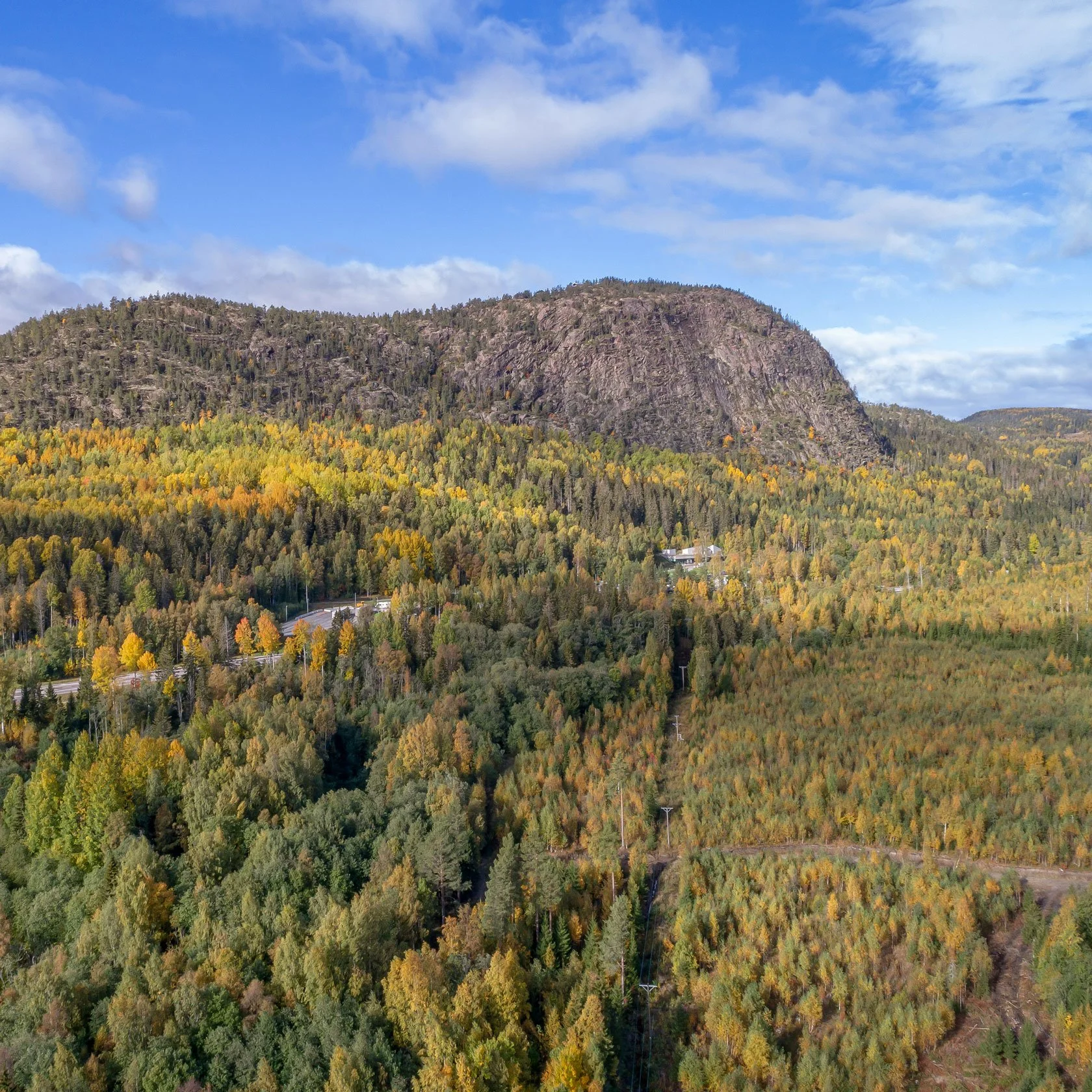
East side of Skuleberget — the unmistakable profile of Docksta’s home mountain.


The Sailor’s Club House (simple, but it changes the day)

Between sea and forest, you need one thing: a place to reset and plan.

Our Club House is that point: espresso, a warm corner to sit down, and the kind of small local guidance that saves you hours of trial-and-error when you only have one or two days.


Getting here + essentials in Docksta (E4 + shore logistics)

Docksta sits right by the E4, which makes it surprisingly easy for crews and visitors to connect by car or bus.

In the village you’ll find the basics you actually need on shore leave:

  • Grocery: ICA supermarket

  • Fuel: available locally (message me and I’ll point you to the quickest option based on your timing)

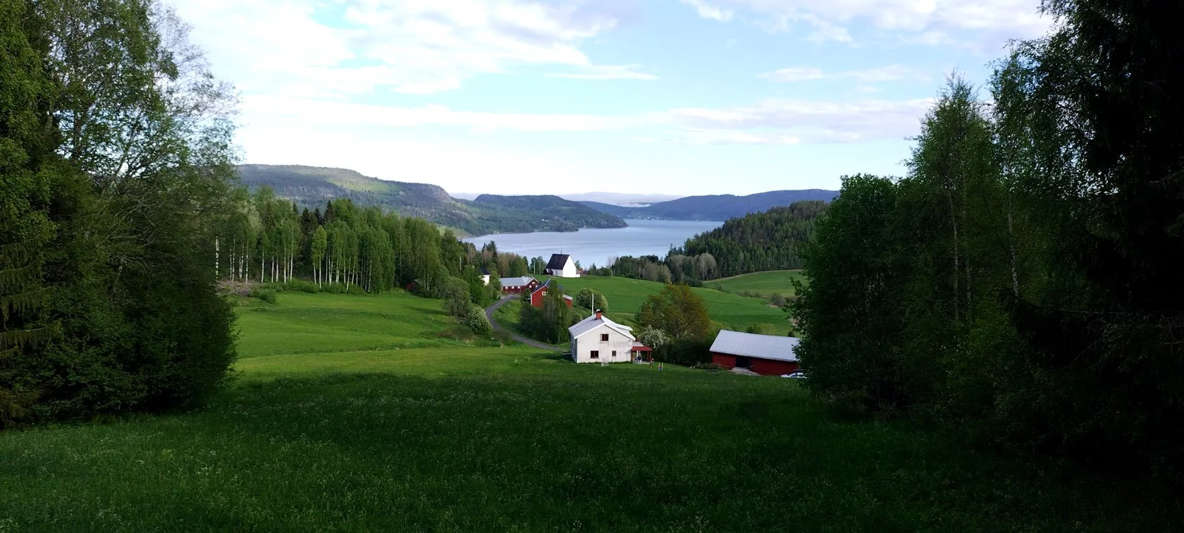
Panoramic view over the Docksta fjord, looking out from the area around Docksta’s old medieval church.


Suggested plans (choose your shore leave window)

Boardwalk trail through the wetlands of Nätra Fjällskog Nature Reserve — a perfect day trip by bike from Docksta Marina.

Panoramic view over Docksta’s two fjords from Skuleberget.

High Coast Archipelago view from the top of Slåttdalsberget, Skuleskogen National Park.

  • 24 hours: the “proper reset”

    Arrive, tie up, and keep it simple: a short outdoor loop, a viewpoint, and a calm evening. If the weather is unstable, I’ll point you to the best “low-risk, high-reward” option for the day.

  • 48 hours: Skuleskogen day + easy second day

    One full day for Skuleskogen National Park, then a second day for a shorter hike or Skuleberget—with time to enjoy the harbour and actually rest.

  • 72 hours: the High Coast base camp rhythm

    This is the sweet spot: one bigger trail day, one flexible day (bike + hike or archipelago mood), and one day that stays open for weather. You get the High Coast feeling without rushing.

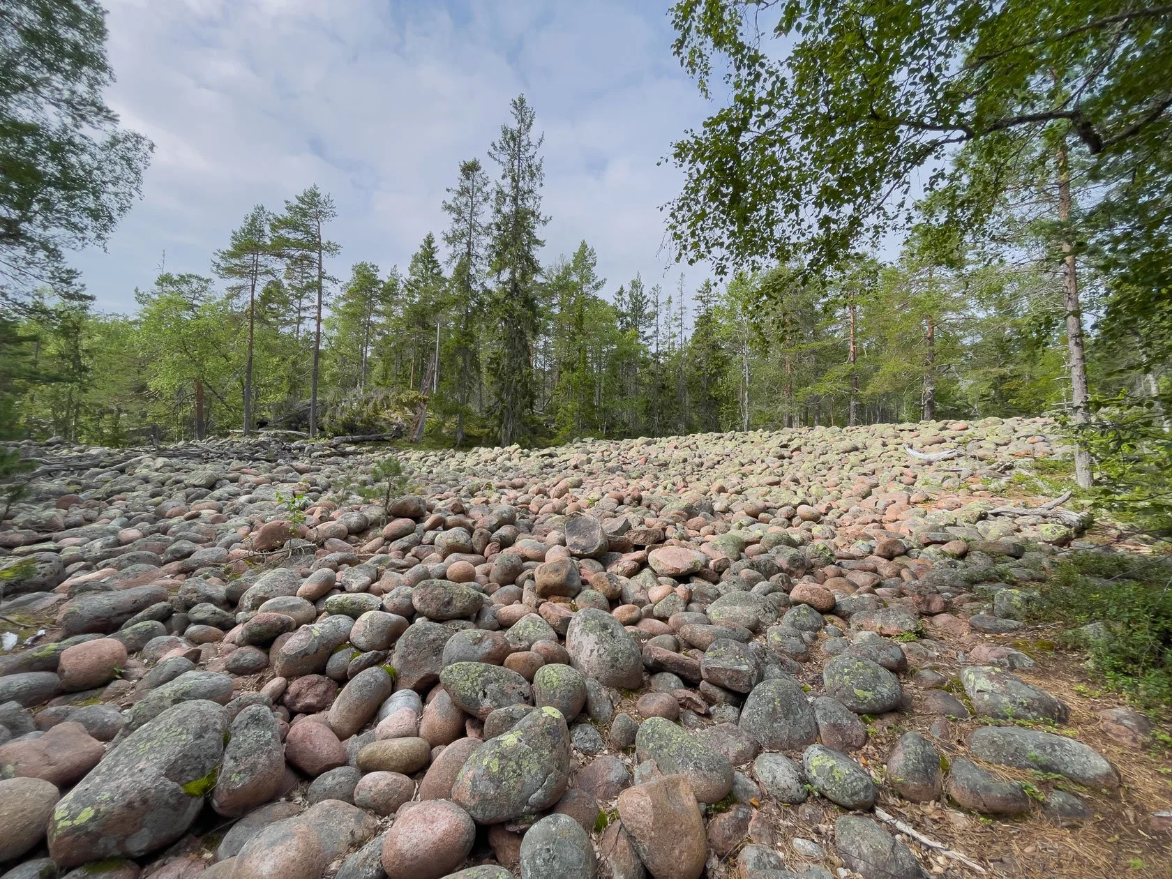
A classic klapperfält (boulder field) — one of the High Coast’s most distinctive landscapes.


Skogspaus: a 3-hour forest reset (bookable on Airbnb)

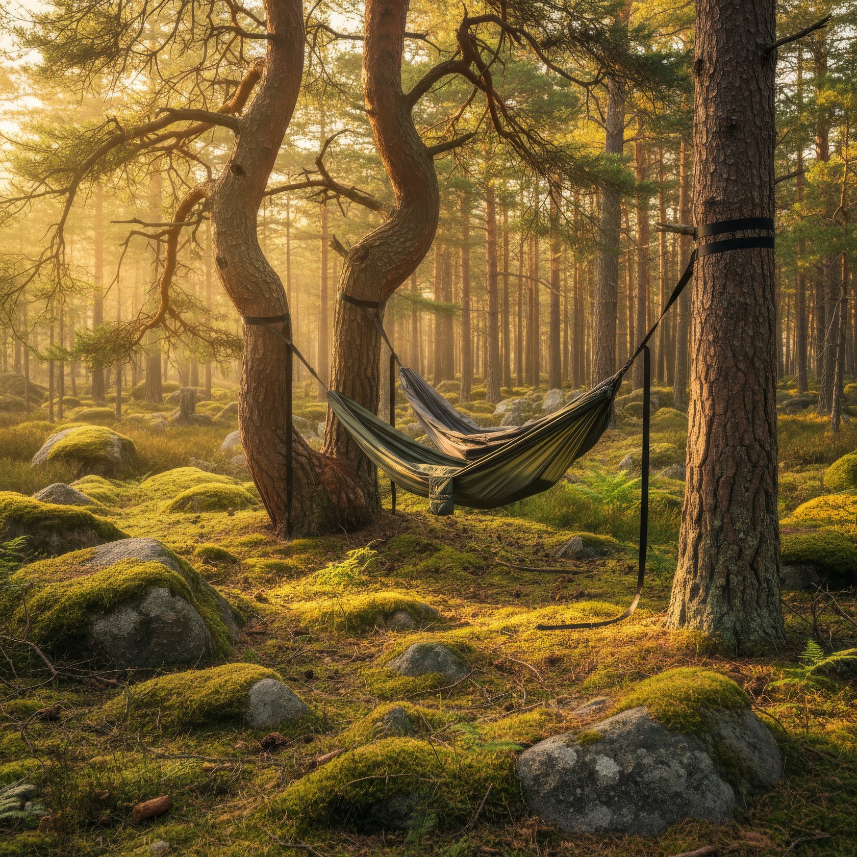
If you want a different kind of shore leave—quiet, grounded, and surprisingly powerful—there’s Skogspaus, our 3-hour forest immersion. Small groups, simple gear, and a slow rhythm designed to help you reset after days on the water (or long drives).

It’s a new experience for 2026 and you can book it on Airbnb (or message me if you’re unsure which day fits the weather).


Bad weather plan (this is why the harbour matters)

Weather is part of sailing—so your stop should work even when the forecast changes.

At Docksta, you have:

  • Safe, protected moorings — sheltered from the main wind directions. (More detail here: Safe mooring for yachts cruising.)

  • Inland options for your shore leave

  • A real Plan B for hikes and viewpoints (I’ll help you choose based on wind, rain, and timing)


Bonus: my Google Map (pins for sailors)

Open the map below, pick your weather window, and you’ll instantly see the key pins around Docksta: Skuleskogen (Entré Syd), Skuleberget (Naturum, Via Ferrata, chairlift), plus a few favourite viewpoints and shelters.


High Coast Sailors: guides & stories (start here)

Below you’ll find a small library of practical shore leave ideas: practical shore leave ideas, how to move inland, simple planning notes, and local “what works today” guidance.


Explore by category (if you’re planning ahead)

If you’re the kind of sailor who likes to save a few good ideas before casting off, this is your shortcut. Our blog is organised like a small base camp library: practical shore‑leave routes, local timing notes, and “what works today” plans—each one built around a different way of exploring (and a different kind of crew mood).

  • For exploring the High Coast: start here—essential routes, day‑trip logic, and “what makes sense today” planning

  • For Sailors: safe mooring, shore‑leave plans, and sea‑to‑mountain days from Docksta

  • For Hikers: Skuleskogen, viewpoints, trail notes, and weather‑proof alternatives

  • For Trail Runners: flow trails, vertical days, and High Coast running routes

  • For Bikers: bike days, bike + hike combos, and simple mobility without a car

  • For Workation: quiet weeks, shoulder season, and a slower rhythm for focused days

  • For Outdoor Enthusiasts: Gear rental / Outdoor Ready Grab&Go ideas, and micro‑adventures close to the harbour

  • Forest Pause Experience: Skogspaus stories and the 3‑hour hammock forest reset

Pick the category that matches your forecast (and your crew), and you’ll land on posts that make planning feel simple.


Arriving soon?

To plan fast, grab the High Coast Sailor Mini‑Guide first—then message me your ETA and I’ll help you choose the best shore leave plan for the weather window.

Message WhatsApp or call the harbour host: +46 763136628
Tell me your ETA + what kind of shore leave you want (Skuleskogen / Skuleberget / bike day / bad-weather plan).


A note from your harbour host

I’m Tommaso. I live the High Coast from these piers in Docksta—where the sea meets the mountains—and I love helping crews turn a simple stop into a real shore‑leave adventure. When you arrive and you see me on the docks, say hi. Tell me what kind of day you want (Skuleskogen, Skuleberget, or a calm Plan B) and I’ll point you in the right direction.

Tommaso — harbour host at Docksta Havet