Hiking

Basic tips to get ready for your day hike (or run) on High Coast paths

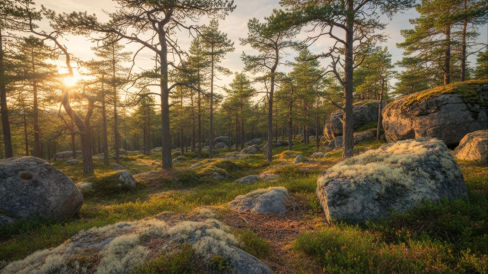
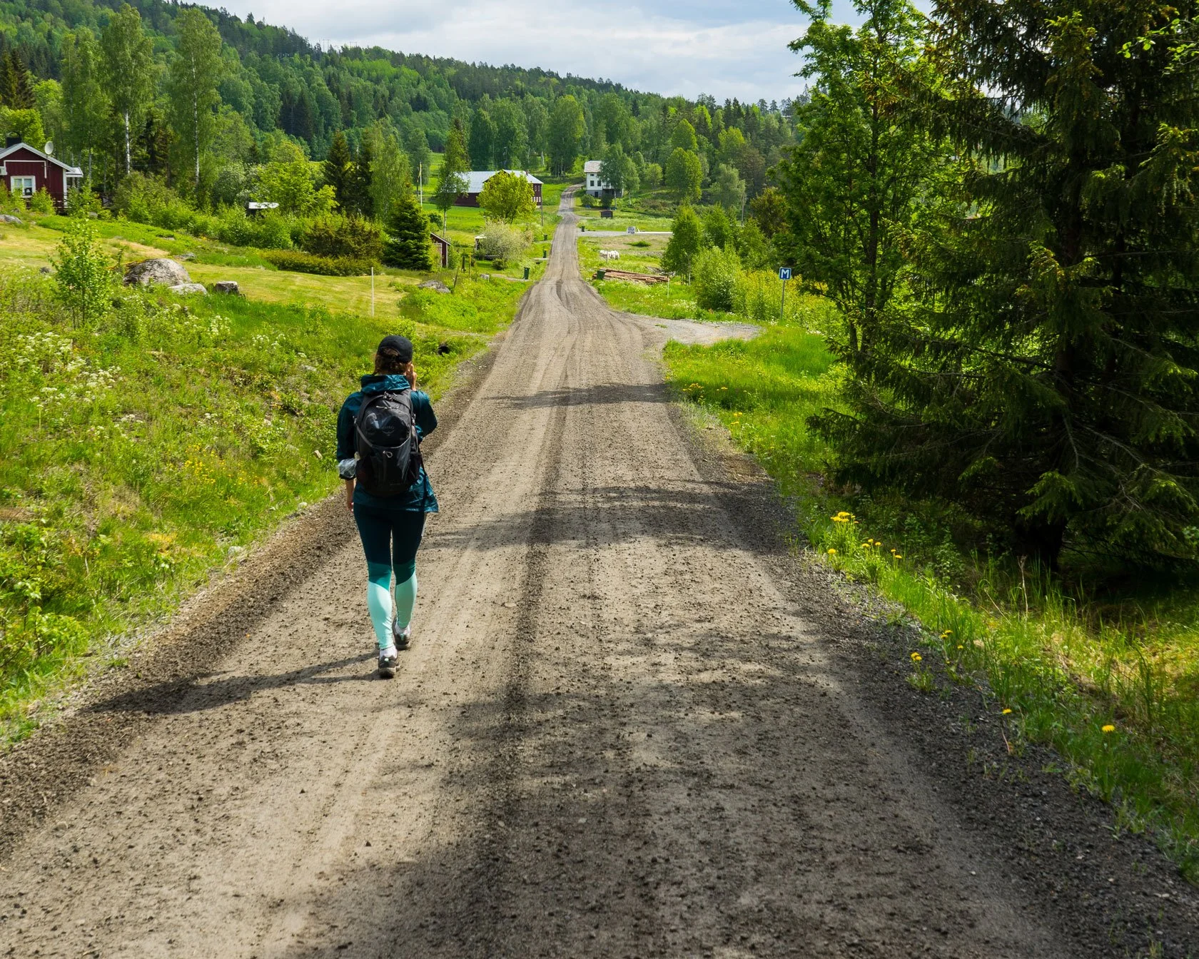
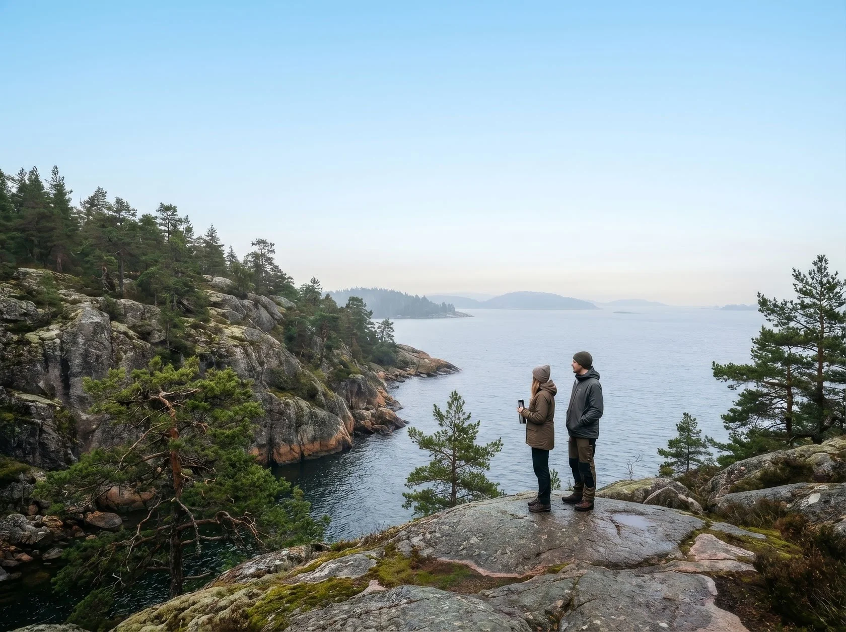
The great outdoors is calling: a walk's quality need not be determined by its duration or level of difficulty, nor does it have to be an intense hike.

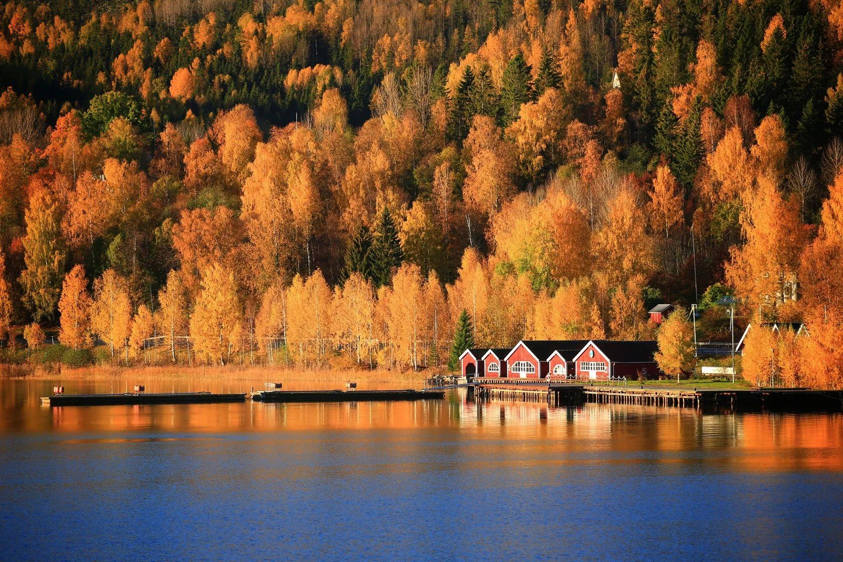
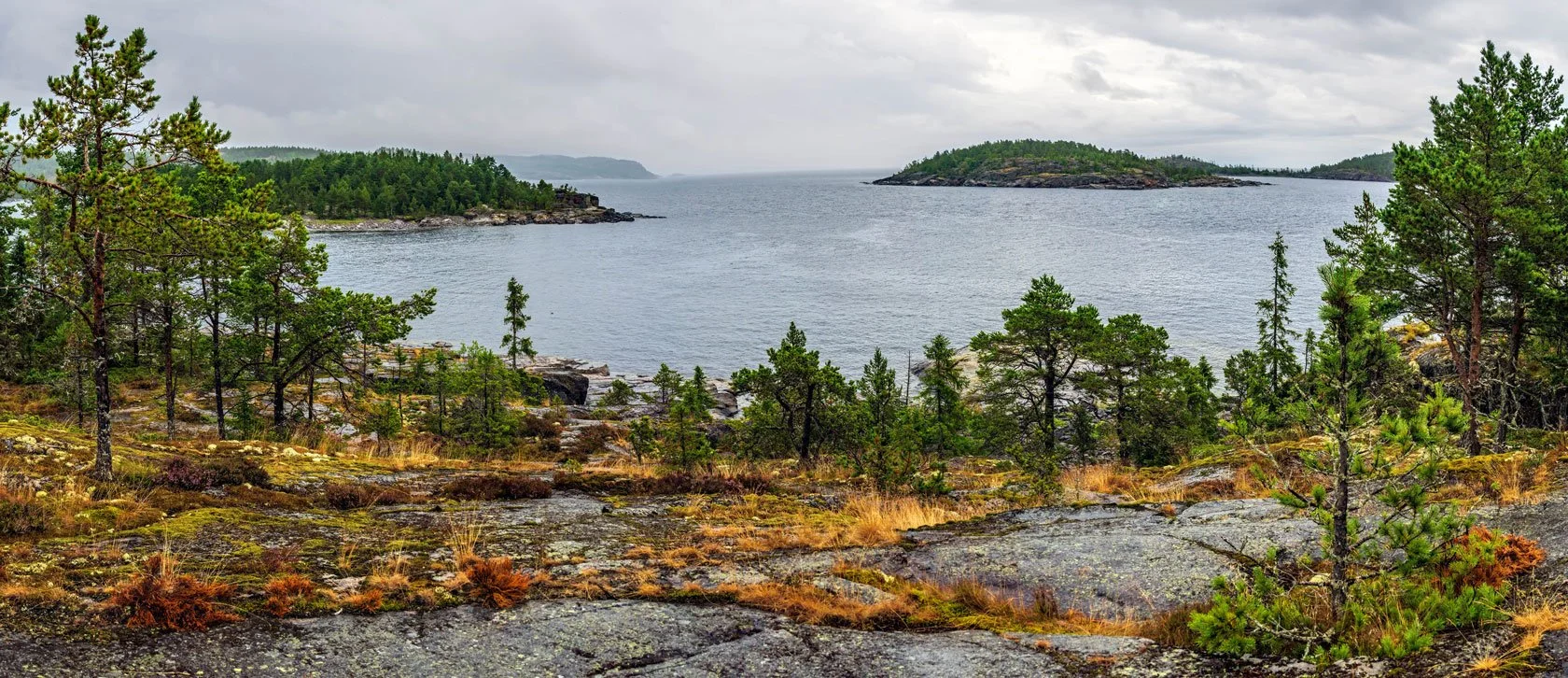
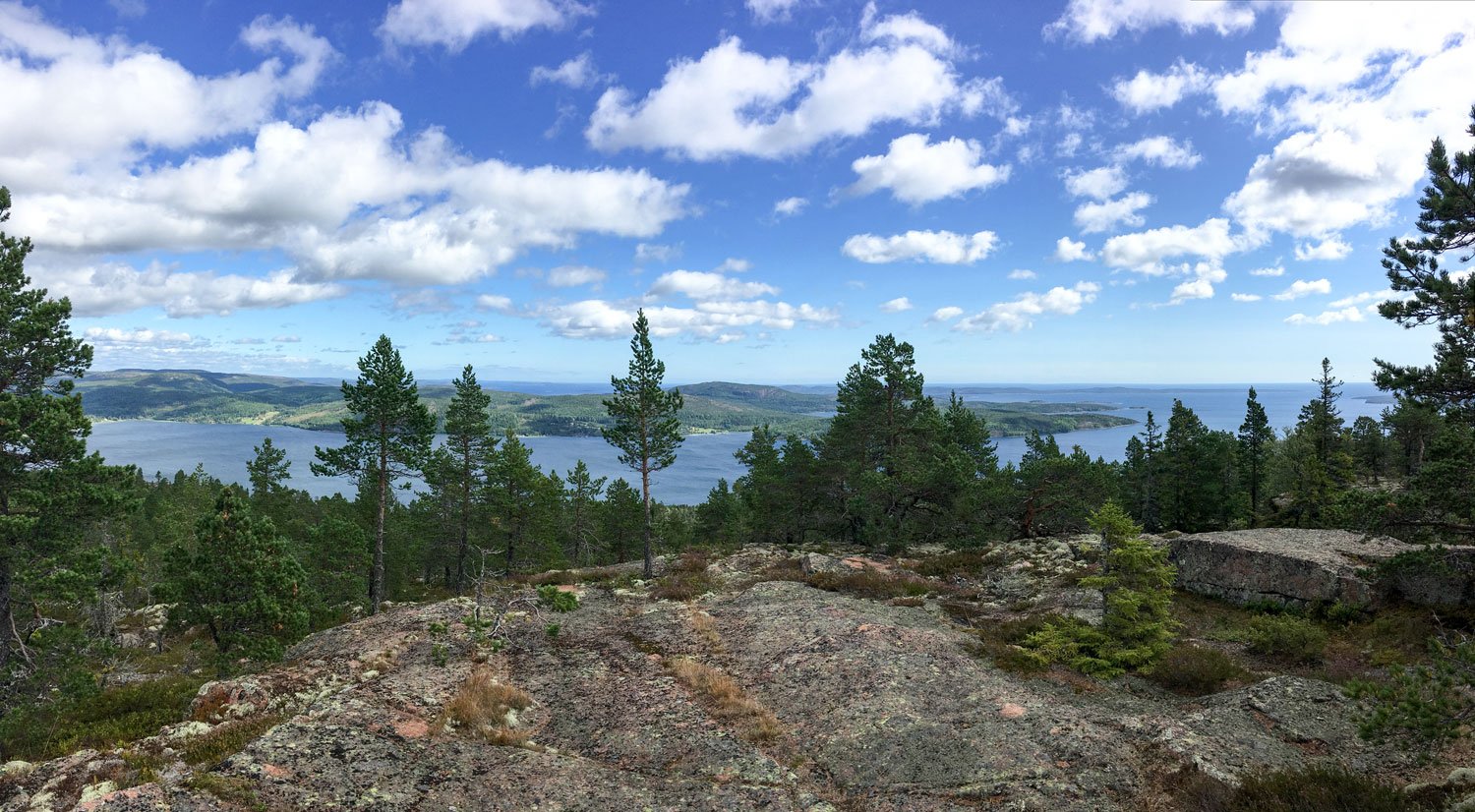
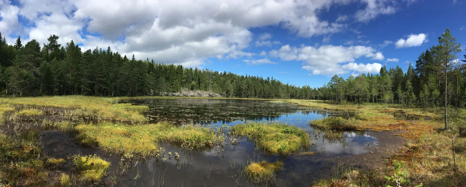
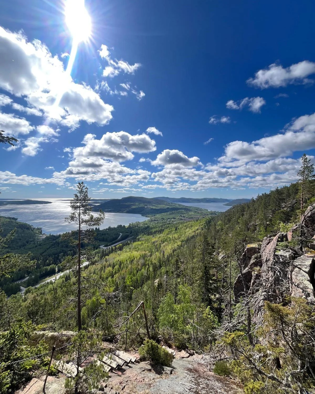
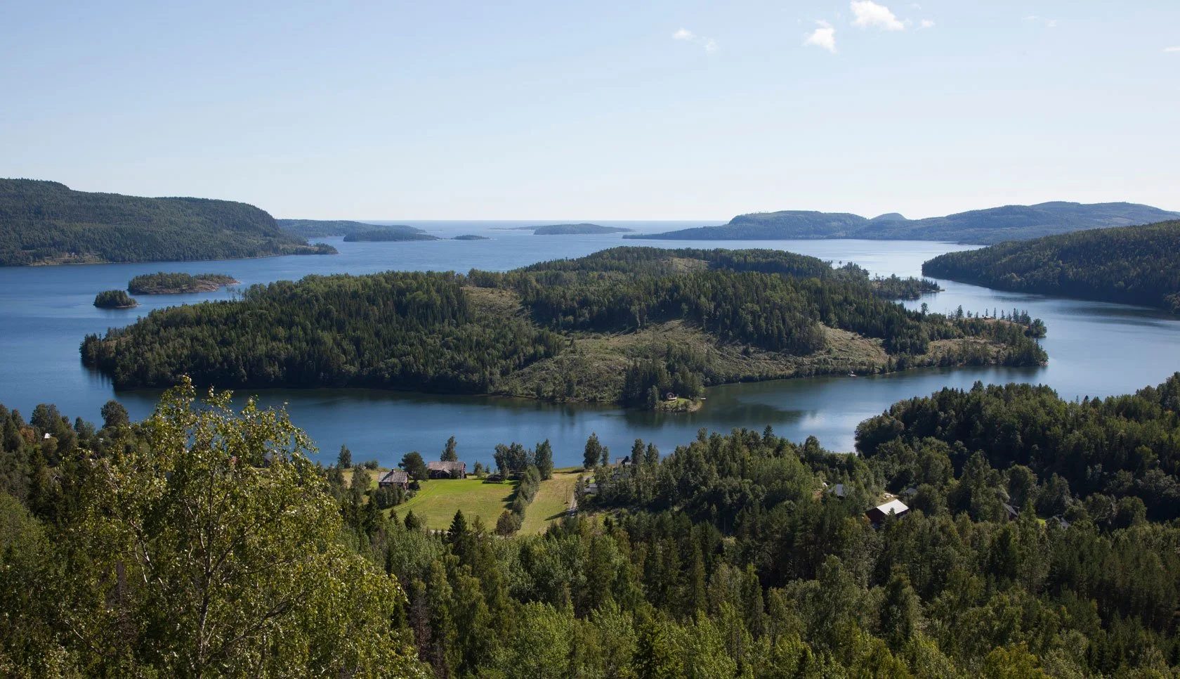
Being on the High Coast represents an opportunity to move in nature in an unparalleled way.

It's a good idea to keep in mind a few recommendations to ensure the success of any excursion you have planned that may be completed in four or five hours, even if it's only a few kilometers on paper.

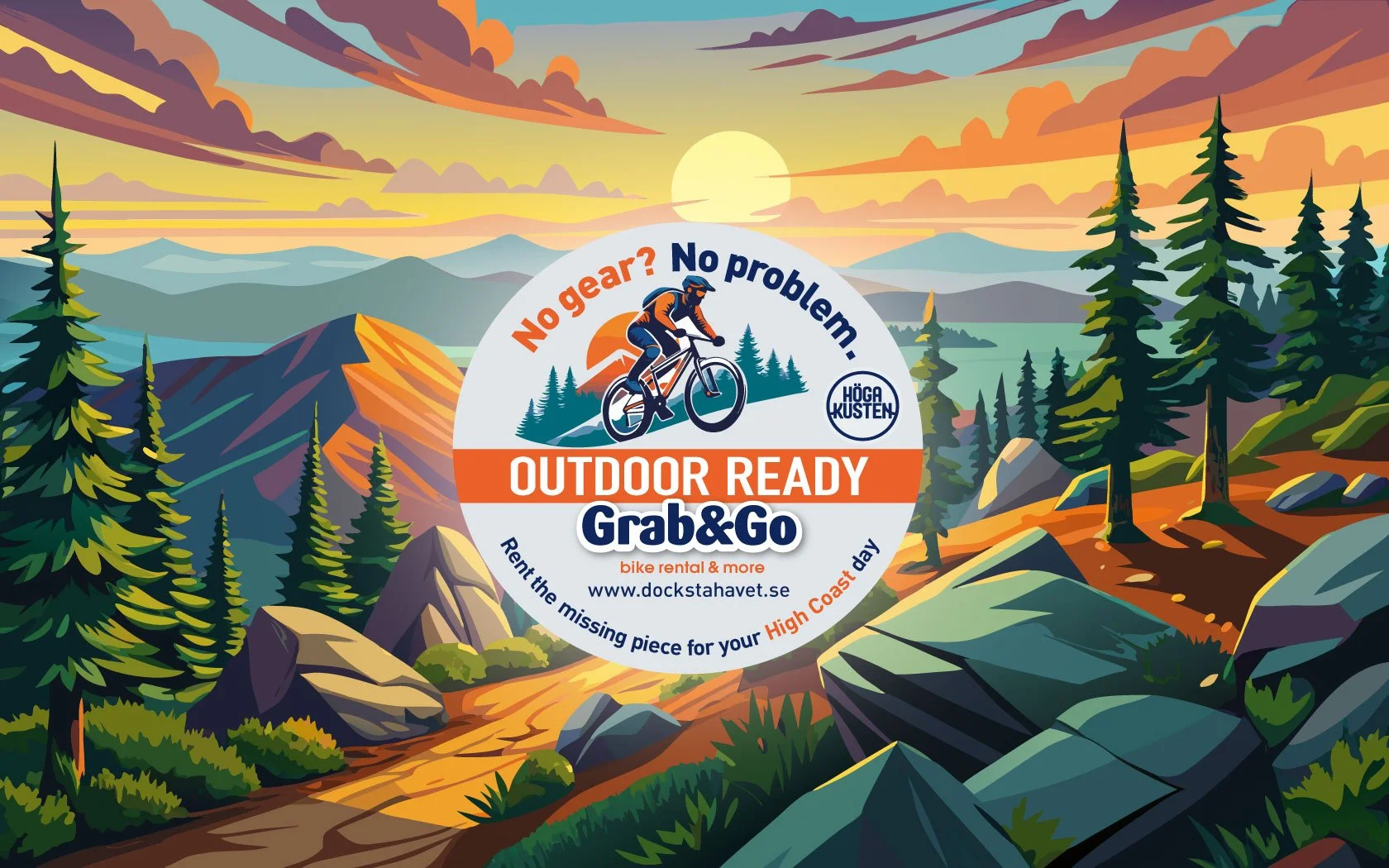
Outdoor-ready, without overpacking

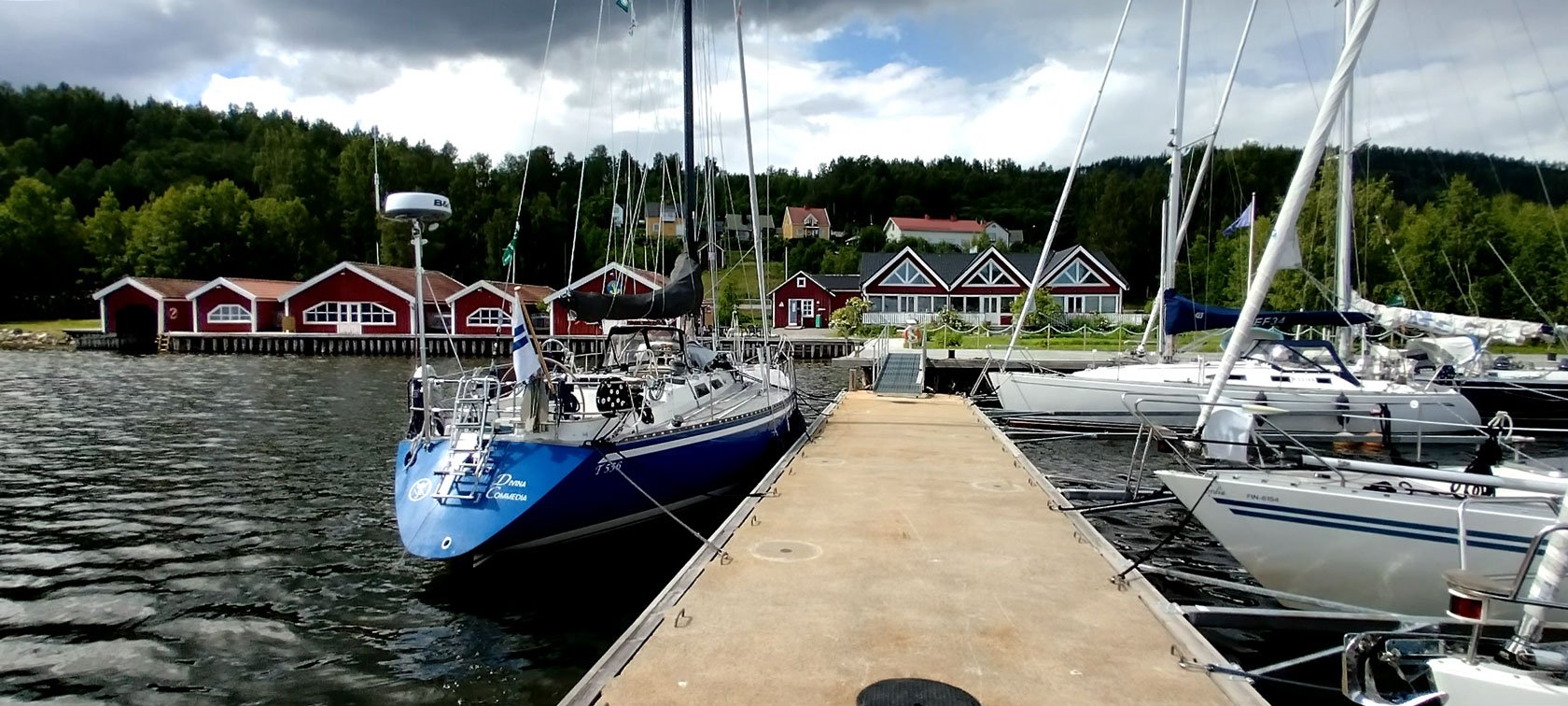
If you’re nearby Docksta and don’t have all the gear with you, we run Grab&Go — hosted outdoor gear rental at Docksta marina. Tell us your day plan and we’ll match the essentials (daypack, hammock kit, and more), with simple route tips.

→ See Grab&Go Pricing & Booking: https://dockstahavet.se/outdoor-gear-rental-hoga-kusten/pricing-booking


6 suggestions to prepare you for your outdoor walks on the Höga Kusten

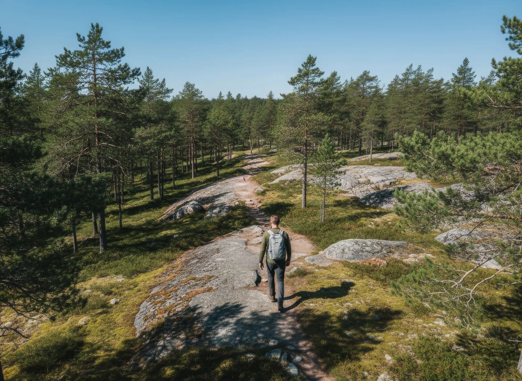
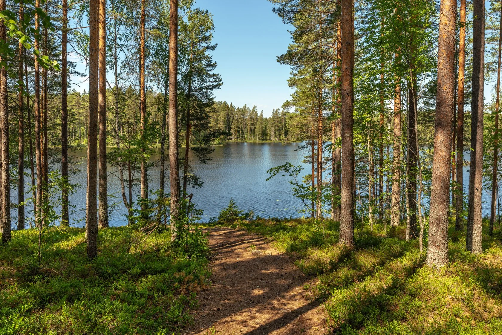
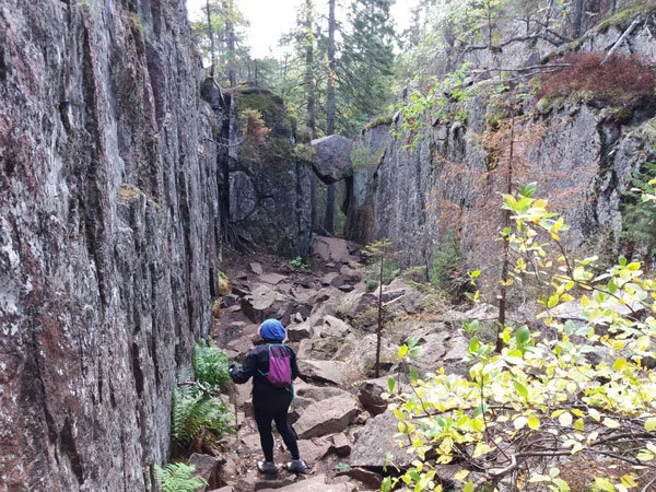
1. You need suitable footwear. With few exceptions, all the paths that lead you to climb or descend on the reliefs are very technical, you will also walk on rocks, roots and pebbles. You do not need heavy or rigid shoes, good shoes are enough, for example for hiking or trail running, that are comfortable, with a good grip and possibly tasselled.

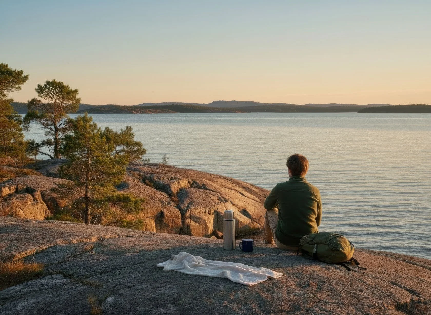
2. Move with a light backpack, always carry a reservoir of water with you and something to eat to replenish your energies. Remember that you won't be able to easily access stores to "supply" or just stop for a drink when you're in the woods or on the national park's trails.

3. Check the weather forecast, bringing appropriate clothing (to stay warm and dry, particularly).

The applications YR.no and SMHI.se are excellent for puntual locality forecasting.

4. Plan your route. The paths within the national park or protected natural areas, and the Höga Kusten Leden are average well marked, you will generally find signs with the indications that are needed or more easily than signs made with colored paint on rocks and trees.

Taking a look at a map, to know the territory where you are moving, is always a good idea. Tourist information points can in most cases provide you with a useful one.

👉 You can find many maps even downloadable online, (below, you can free download our info-maps, too), or use apps (like Kamoot, Outdoorsactive...), when you have network coverage. A good resource are naturkartan.se website and app.

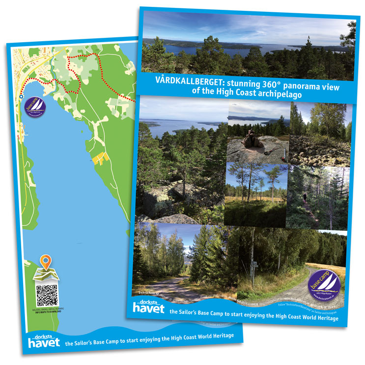
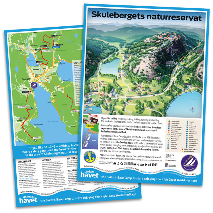
👉 Have a look also at our outdoor MAP-POSTERS >

If you're adventuring on trails that you don't think are popular, let someone know about your route and your excursion plans.

5. Bring a cell phone with the batteries charged but remember that you will not always have the coverage guaranteed, especially if you are in roaming with a non-Swedish telephone contract.

6. Carrying hiking or Nordic walking poles in your backpack could be an excellent alternative if they are foldable. Although they are helpful equipment, many of the rough and rooty pathways you may come upon are not suitable for them.


Little etiquette guidelines

Additionally, you will find here a few basic etiquette rules for a more environmentally conscious outdoor experience.

📍Keep it wild.

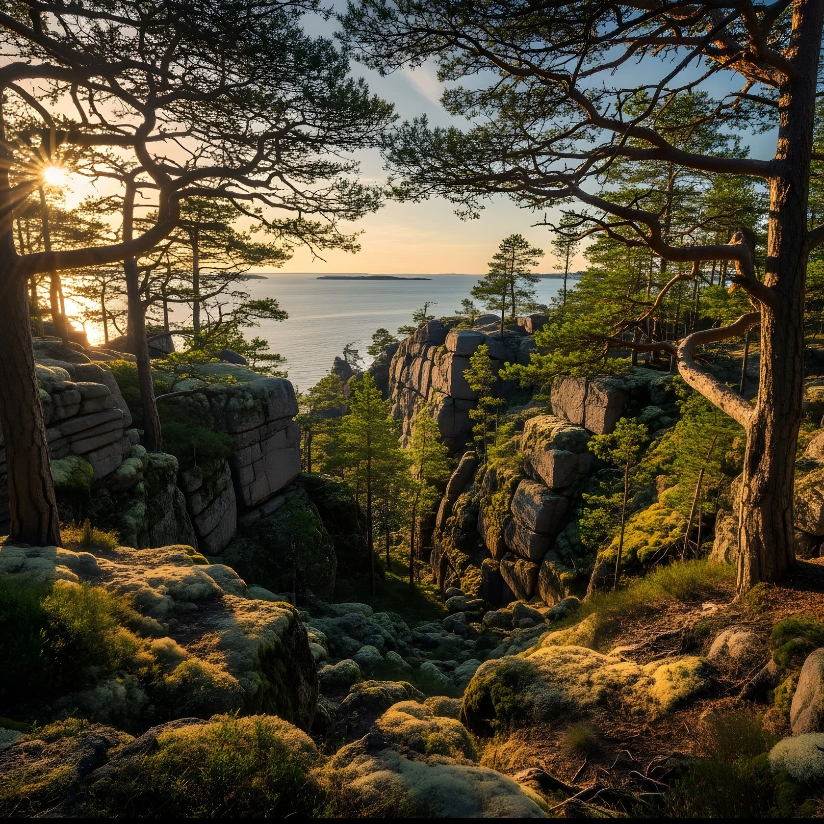
Just remember that the natural environment you are moving into is unique and delicate.

Stay on the existing paths (do not venture off the trails creating new ones or cutting switchbacks). Remain on it to avoid harming the natural spaces around it. With so many visitors enjoying natural areas for their outdoor recreational activities, a simple shortcut through a dune, around a wet trail, or across a meadow can have long-lasting negative impacts.

📍Do not disturb wildlife.

Your surroundings are home to many plants and animals: you are the visitor.

📍Do not litter.

Take all of your belongings home with you :)


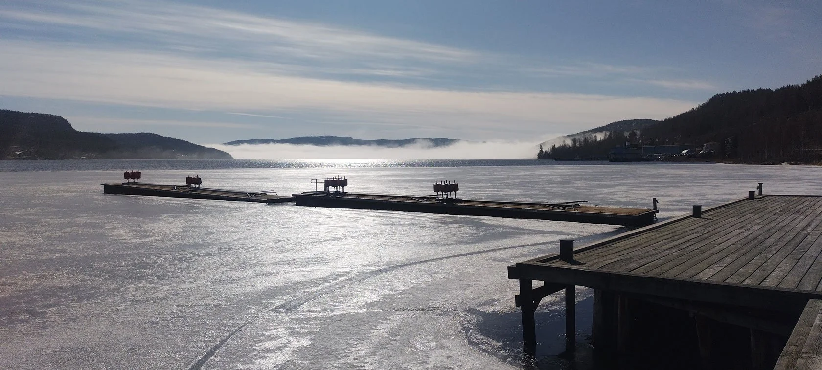
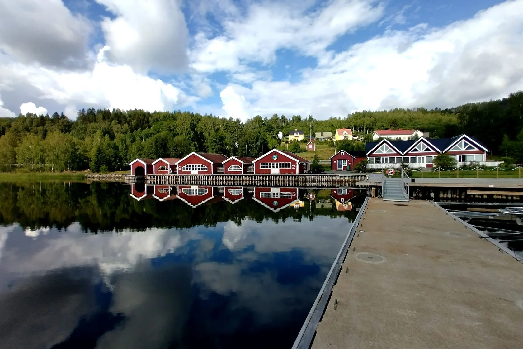
Set your #hiking BASE CAMP to explore the Höga Kusten World Heritage site:

These coastal Airbnbs are located at the marina in Docksta, along the Höga Kusten Leden (Etapp 5: Ullånger–Skuleberget) and just a step away from the Skuleskogen National Park and the Skuleberget Mount. The accommodations are seaside and perfectly located to explore the Höga Kusten World Heritage.


Tommaso De Rosa

See my host profile and contact me on Airbnb

If you would like assistance planning your stay in one of our waterfront accommodations at the marina, need hiking advice at Skyleskogen Park or Mount Skuleberget, or have any other questions regarding things to do on the High Coast during the summer, please contact me via the Airbnb chat. You are welcome :)

_Tommaso

Please write me by email or WhatsApp at +46.763136909


P.S. I’m a trail runner. I like to explore new routes with a hiking mindset, especially those on the High Coast. Here below you find what I highlighted in these blog posts.

👇

Vårdkallberget Mount offers the taste of a wild hike on the High Coast

This mount remains in your heart.

The trail to Vårdkallberget (or Värnsberget, as someone started to nickname it) is a well-balanced hike, with only one rugged path along the hilltop leading to the summit at 265m a.s.l.

The name "Vårdkallberget" means "beacon mountain”, and it evokes memories of the old signal fires. In the past centuries, big signal fires in the High Coast Mountains alerted the locals to impending enemy attacks. The beacon chain extended all the way along the coastline so that the armies could be gathered.

Overview from the summit toward south: on the right, the Fäberget Mount at the entrance of the Docksta fjord.

Rising from the sea, the mountain forms a peninsula, never more than a couple of kilometers wide, that divides the Docksta fjord from the Norrfjärden.

Between the North fjord and the Dockstafjäerden, the peninsula with Vårdkallberget Mount (panoramic view from the summit of Skuleberget)

On the right of the panorama, the summit of the Vårdkallberget Mount from the overview point at Getsvedjeberget.

From the Per Olsbo’s shelter, near the Höga Kusten Leden, view of the Vårdkallberget Mount. From its height, it overlooks the smaller Valabergen Mount, characterizing the shape of the promontory overlooking the fjord “Ullångerfjärden” to the south.

Along the coast, there aren't many houses, and the mountain retain its amazing natural features.

The trail that leads to the top of Vårdkallberget is mostly known by locals and, fortunately, little visited, so it will be much easier to meet some wild animals, though you will probably only see traces of them in the summer.

The Vårdkallberget Mount from the pier at Docksta Havet.

From the village of Docksta, looking south-east, you can see the mountain dominate the landscape at the beginning of the fjord. It is curious to think that it is only thirty meters lower than the top of the most famous Skuleberget.


🧭

Trail to Vårdallberget Mount: back and forward from the Antenna in Myre:

4.6KM, D+180M, ~2HRS

(for hikers of all levels)

From the marina, it's easy to get to the beginning of the path by foot, bicycle, or by parking your car in Myre.

The trail climbs steeply along the short terrain road to the antenna in Myre, then crosses over a short stretch of recently cleared forest before entering the breathtaking wild area. This section of the woods is distinguished by its openness and exposure to the sun.

These particular forested areas, precious to biodiversity for flora and fauna, are called "rocky pine forests". You will understand what it means to cross a natural and undirsturbed old-growth wood in the High Coast.

The rocky pine forests are still dominated by natural dynamics and low human impact since they are considered low productive due to the low tree density (lack of water and rocky and nutrient-poor hilltops may contribute to it).

These are structurally diverse and heterogeneous forests and valuable habitats for organisms connected to sun-exposed dead woods; both snags and logs can be present for several centuries after death.

During your excursion, you will see very old pines (Pinus Sylvestris, particularly) that have been twisted by wind and snow, and you will likely need to climb or surround some storm-fallen trees, whose exposed roots will show you how almost everything here clings to a small layer of soil and to bare bedrock to survive.


At Vårdkallberget Mountain, you get a real taste of what hiking Nordic trails in areas with low human impact looks like


By walking a narrow single track surrounded by blueberry bushes, you will pass portions of thicker forest, passing next to a wet area, and walk a few tens of meters next to a beautiful lake but invisible from the path if you don't start looking for it.

Finding the lake on the map and orienting yourself to get there should be fairly simple if you have a smartphone and a trekking app (like Komoot or Outdoorsctive). Just be cautious when approaching the wet area that is surrounded by a frequently occurring layer of moss under the surface of which there is water.

You will also cross a couple of the typical cobble fields whose pebbles have been rounded by the work of the waves because they were once at sea level around 10.000 years ago.

The final stretch of the trail has sparser vegetation, making it easy to jump over some broad, rocky reliefs of typical red granite that are covered in moss and lichen.

You will be able to identify the southern summit of the mountain by the stacked stones that accentuate some of the 360-degree panoramic points over the archipelago.

If you start exploring the surroundings a little from there, you will discover charming views to the Ullånger’s fjord and, just below the top, on the north side, a particular wind shelter.

Photo ©: courtesy by ArkNat

It's name is “He”, and it was built in 2019 within the ArkNat project by students from different Scandinavian schools of architecture. Because of the shelter's two-sided architecture, guests can tilt the main body for shade, or wind protection, or a gorgeously framed view of the Norrfjärden, toward the Skuleberget and the Skuleskogen National Park.

The whole route to the summit of Vårdkallberget, back and forth from the antenna, is roughly five kilometers long and has a level of difficulty that most people can handle.

Naturally, it is advised to wear a good pair of trekking shoes and a pair of long trousers (the single track path narrows between bushes at certain segments). You won't be disappointed when blueberries are in season, but don't forget to pack a water bottle and possibly some snacks.

When windy, the summit is typically fairly exposed. At Vårdkallberget, however, the sun will shine through the trees for a good chunk of your journey if the weather is good. Have fun!


Tommaso De Rosa

See my host profile and contact me on Airbnb

If you would like assistance planning your stay in one of our waterfront accommodations at the marina, need hiking advice at Skyleskogen Park or Mount Skuleberget, or have any other questions regarding things to do on the High Coast during the summer, please contact me via the Airbnb chat. You are welcome :)

_Tommaso

Please write me by email or WhatsApp at +46.763136909


Hiking in Skuleskogen National Park during enchanted summer nights


The summer solstice is celebrated in June over a long weekend, and is known as "Mittsommar" in Sweden. It honors the longest day of the year.

But since the High Coast is above 60° North latitude, both June and July celebrate endless summer days that have 24 hours of daylight to enjoy!

Spending time outside right now is ideal to explore the Höga Kusten Unesco World Heritage.

During one of these bright "nights" and when the sun just dips a few degrees below the horizon, can you image yourself traversing the Slåttdalsskrevan cracks and hiking the Skuleskogen trails?

This is specifically the subject matter I wish to cover on the summers excursion in Skuleskogen, (and there could be no better base in Docksta where to leave for an unforgettable outdoor experience at the national park ;)


Step by step, along the nicest paths in the Skuleskogen in summertime.
This trek rocks.


MAP: hike the best trails at the Skuleskogen national park

🧭

~11.4KM, D+321m, ~4/6Hrs

(medium difficulty)

 
  • 🔵 Leave your car at the Southern Entrance of the park (Entré Syd);

  • 🟡 start heading to “Näskebodarna” on the beautiful path between the forest and the sea that follows the coastline;

  • 🟠 then, hike up along the trail (blue markings) to reach the "Tärnättvattnen" lakes and packed dinner there;

  • ⚫ next, in the midnight summer light and with a certain "Lord of the Rings" suggestion, traverse the 7 meters wide, 30 meters deep “Slåttdals” crevice (“Slåttdalsskrevan”) from north to south.

  • 🔴 from there, up on the short segment that climbs on the "Slottdalsberget" hill summit for coffee and chat with an overview of the whole archipelago;

  • 🟣 downhill from the summit, and slow walk back in the forest along the path marked with orange dots (boardwalks on about half of the segment);

  • 🔵 ending greeting of the day and the reborn sun with breakfast or a packed snack on the beach at “Kälaviken”, before to return to the parking of the Southern Entrance.


Tips and recommendations for your overnight hike

  • Pack lightly because the trail is tough. Only bring what is necessary to ensure that your hike is safe and pleasant enough in your backpack.

  • There are no shops or bars nearby! Carry your own food and water, including coffee or te. Stay hydrated and consider that you'll burn a lot of calories.

  • Even in the summer, the weather might quickly change. Be sure you are dressed appropriately. The paths are rough and some sections are challenging, with many rocks and roots: a pair of shoes with a good grip is highly recommended (you will need it a lot, particularly on the downhill or with wet conditions). Even a light pair of gloves to keep your hands safe when resting against the rocks might be helpful.

  • To orient yourself, stay on the indicated paths and follow the signs. Don't rely exclusively on your smartphone, which might not have reception or have a low charge, and instead bring a map of the national park with you. The permitted fireplaces and restrooms that are located along the trail are highlighted on the maps.

  • Beautiful spots are available to pause for a late dip at Kälaviken's sandy beach and the fresh waters of the lakes. Be mindful that while you could be hot after your hike, water is typically cold.

    WHERE YOU FIND TOILETS: Entré Syd, Näskebodarna, Tärnättvattnen, Kälaviken.


There are alternative trails and routes, of course, but I advise taking this trek at Skuleskogen* (during the summer) because it's balanced to give you a memorable experience of the national park's top locations and scenery.

(*) It's a hike that I have tested and wholeheartedly endorse. @Tominthehighcoast :)


BE IN TUNE WITH THE PARK

#SKULESKOGEN ETIQUETTE

  • keep the curves and the steps in the trails (or limit your go off trail), to avoid to contribute to the erosion of the path

  • leave nothing but footprints (don't litter)

  • keep it wild

  • say hello to those you meet

  • share the experience with other hikers

See also: safety and rules within Skuleskogen National Park >


Recommended places to overnight nearby the Skuleskogen National Park: